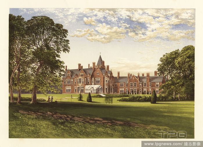
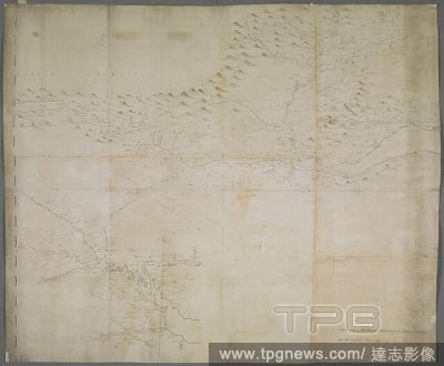
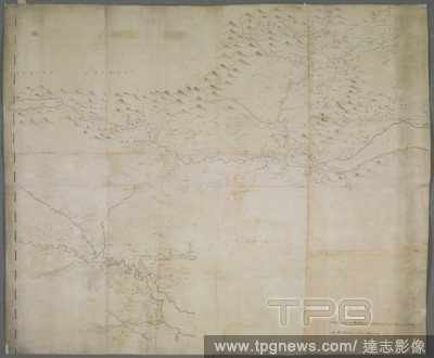
EditorialA map of Strathearn, Stormount and Carse of Gourie, with the country surrounding Stirling . A drawn Map of Strathearn, Stormount, and Carse of Gourie, with the Country about Stirling. [Place of production not identified] : by John Adair, [about 1685.]....
EditorialStrathearn, Sir David Young Cameron, 18651945, British, 1917, Drypoint on laid paper, Plate: 4 7/16 x 13 7/8in. (11.3 x 35.2cm) and Sheet: 8 3/8 x 15 1/4in. (21.3 x 38.7cm), mountains, river, trees, Scotland, Strathearn.
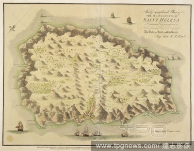
EditorialA plan of the Island & Forts of Saint Helena . This Geographical Plan of the Island & Forts of Saint Helena is dedicated ... to ... the Duke of Kent and Strathearn by Lieut. R.P. Read. London : Burgis & Barfoot, etc., 1815 [1816]. Source: Maps K.Top.11...
EditorialA map of Strathearn, Stormount and Carse of Gourie, with the country surrounding Stirling . A drawn Map of Strathearn, Stormount, and Carse of Gourie, with the Country about Stirling. [Place of production not identified] : by John Adair, [about 1685.]....


 Loading