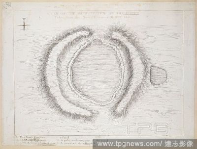
EditorialA plan of the Roman Amphitheatre at Silchester. A VIEW OF THE AMPHITHEATRE AT SILCHESTER Taken from the South Entrance MDCCXXXII. 1742. Pen and black ink. Source: Maps K.Top.14.85.g. Language: English.
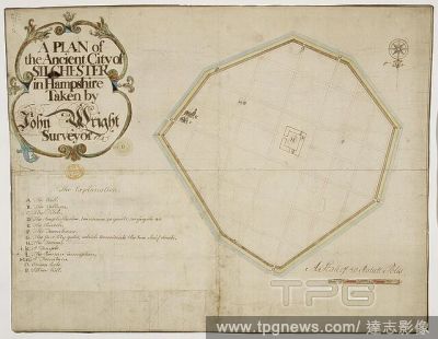
EditorialA plan of the ancient city of Silchester, Hampshire. A colored "plan of the ancient city of Silchester, taken by John Wright, surveyor, 1745;" drawn on a scale of 16 statute poles to an inch. 1745. Source: Maps K.Top.14.85.d. Language: English.
EditorialA plan of the ancient city of Silchester, Hampshire. A colored "plan of the ancient city of Silchester, taken by John Wright, surveyor, 1745;" drawn on a scale of 16 statute poles to an inch. 1745. Source: Maps K.Top.14.85.d. Language: English.
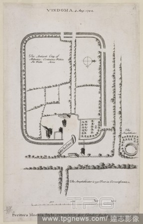
EditorialPlan of Silchester, Hampshire in 1722. The Roman fort site of Vindoma. . A Plan of Silchester. England. A Plan of Silchester, by G. Stukeley. 1722. Source: Maps.K.Top.14.85.a.
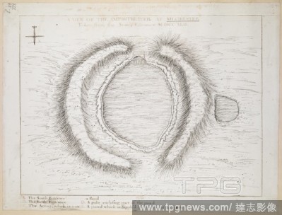
EditorialA plan of the Roman Amphitheatre at Silchester. A VIEW OF THE AMPHITHEATRE AT SILCHESTER Taken from the South Entrance MDCCXXXII. 1742. Pen and black ink. Source: Maps K.Top.14.85.g. Language: English.


 Loading