filter
-
Brand
- By Category
- Direction
- Date Range
68Events
Pictures
Events
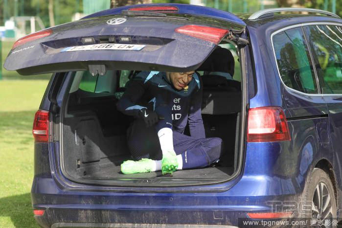
Editorial Clairefontaine: Kylian Mbappe Sits In The Car's Trunk
- 2024-05-31
- 24
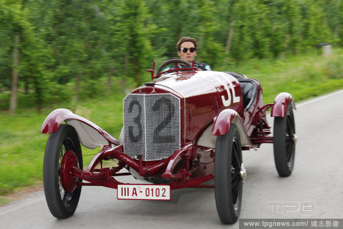
Editorial FORMULA 1 Grand Prix Emilia Romagna 2024
- 2024-05-16
- 6
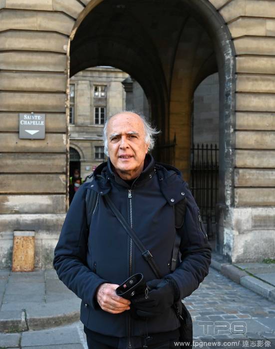
Editorial Paris: Ahmet Ertug, photographe de grand format du patrimoine architectural.
- 2024-02-12
- 24

Editorial Paris: Ahmet Ertug, photographe de grand format du patrimoine architectural.
- 2023-06-16
- 1
Editorial Paris: Ahmet Ertug, photographe de grand format du patrimoine architectural.
- 2023-06-16
- 1
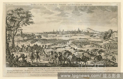
Editorial Paris: Ahmet Ertug, photographe de grand format du patrimoine architectural.
- 2023-06-16
- 1
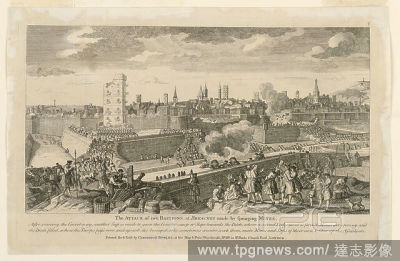
Editorial Paris: Ahmet Ertug, photographe de grand format du patrimoine architectural.
- 2023-06-15
- 1

Editorial Paris: Ahmet Ertug, photographe de grand format du patrimoine architectural.
- 2023-06-15
- 1
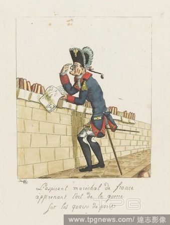
Editorial Paris: Ahmet Ertug, photographe de grand format du patrimoine architectural.
- 2023-06-15
- 1

Editorial Paris: Ahmet Ertug, photographe de grand format du patrimoine architectural.
- 2023-06-15
- 1
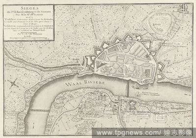
Editorial Paris: Ahmet Ertug, photographe de grand format du patrimoine architectural.
- 2023-06-14
- 1
Editorial Paris: Ahmet Ertug, photographe de grand format du patrimoine architectural.
- 2023-06-14
- 1

Editorial Paris: Ahmet Ertug, photographe de grand format du patrimoine architectural.
- 2023-06-07
- 1
Editorial Paris: Ahmet Ertug, photographe de grand format du patrimoine architectural.
- 2023-06-07
- 1
Editorial Paris: Ahmet Ertug, photographe de grand format du patrimoine architectural.
- 2023-06-07
- 1
Editorial Paris: Ahmet Ertug, photographe de grand format du patrimoine architectural.
- 2023-06-07
- 1

Editorial Paris: Ahmet Ertug, photographe de grand format du patrimoine architectural.
- 2023-06-07
- 1
Editorial Paris: Ahmet Ertug, photographe de grand format du patrimoine architectural.
- 2023-05-29
- 1

Editorial Medieval History. 15th century. Study of a flying machine used in sieges. Chantilly Castle. France.
- 2022-12-24
- 1

Editorial El Salvador announces military siege phase in security policy - 23 Nov 2022
- 2022-11-24
- 12
Editorial Ligue 1 : Saint-Etienne vs Reims
- 2022-05-15
- 1

Editorial A shop with currency exchange rates displayed in Moscow, on Monday Feb. 28, 2022. (The New York Times)
- 2022-03-05
- 1

Editorial Ukrainian soldiers hold a position that was the site of a battle the day before with Russian forces on a highway leading into Kharkiv, Ukraine, Feb. 25, 2022. (Tyler Hicks/The New York Times)
- 2022-03-01
- 3
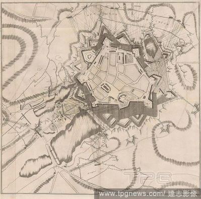
Editorial Siege of Le Quesnoy, 1712 Plan of the City of Quesnoy Enclosed the 8. June by General Baron Fagel (...) / Plan de la Ville de Quesnoy (...) ( title on object), Map of the siege of le Quesnoy by the Allies under Baron Fagel from 8 June 1712. Not numbere...
- 2022-01-18
- 1

Editorial Map of Temesv?r, 1716 Plan de Temiswar and the surrounding areas of the Atacta dans la Palanque (...) / Plais of Temiswar and its surrounding areas, and a Design to strengthen it (title on object), Map of Temesv?r (in present-day Romania), captured fro...
- 2022-01-18
- 1
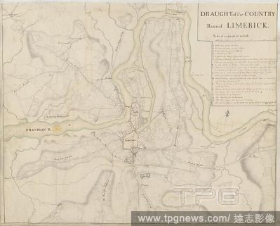
Editorial A draught of the country round Limerick. A colored "draught of the country round Limerick," shewing the works as they were during the sieges in the time of William III. ca. 1752. Source: Maps K.Top.54.20. Language: English.
- 2022-01-18
- 1
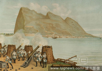
Editorial History of Spain. 18th century. Illustration depicting one of the sieges of Gibraltar. Spanish troops trying to recover the territory taken by the Anglo-Dutch coalition in 1704. Unsuccessful siege of Gibraltar. Chromolithography. "Historia General de E...
- 2022-01-18
- 3
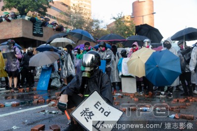
Editorial 2019?20 Hong Kong protests
- 2021-10-16
- 10

Editorial PEUGEOT / STELLANTIS
- 2021-06-22
- 2
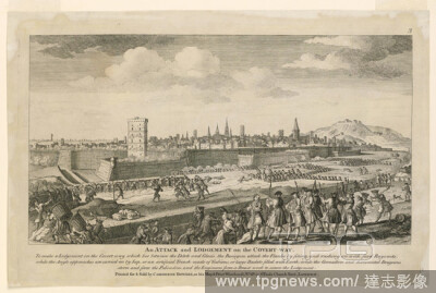
Editorial An Attack and Lodgement on the Covert Way, from Twelve of the Most Remarkable Sieges and Battles in Europe, Carington Bowles, British, 1724 - 1793, Engraving on paper, Soldiers are seen throwing up an earthen bulwark before a town. Inscribed below: 'An...
- 2021-02-22
- 1
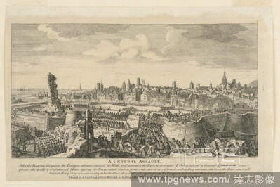
Editorial A General Assault from Twelve of the Most Remarkable Sieges and Battles in Europe, Carington Bowles, British, 1724 - 1793, Engraving on paper, A panoramic view of a city, with soldiers entering through a ruined fortress in the foreground. Naval brigs f...
- 2021-02-22
- 1

Editorial Of Making Sallies, and the Method of Repulsing them, from Twelve of the Most Remarkable Sieges and Battles in Europe, Carington Bowles, British, 1724 - 1793, Engraving on paper, Soldiers are seen in formation making sallies from a fort thrown up before...
- 2021-02-22
- 1
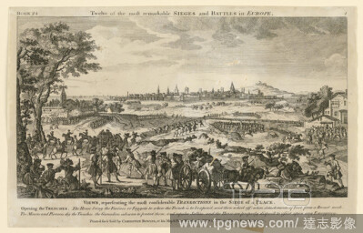
Editorial Views Representing the Most Considerable Transactions in the Siege of a Place, from Twelve of the Most REmarkable Sieges and Battles in Europe, Carington Bowles, British, 1724 - 1793, Engraving on paper, Soldiers are seen capturing outlying fortificati...
- 2021-02-22
- 1
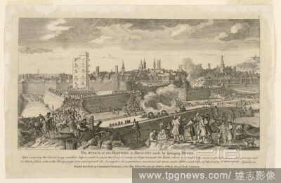
Editorial The Attach of Two Bastions, at Breches Made by Springing Mines, from Twelve of the Most Remarkable Sieges and Battles in Europe, Carington Bowles, British, 1724 - 1793, Engraving on paper, Soldiers are entering a bastion in the foreground, the walls ha...
- 2021-02-21
- 1
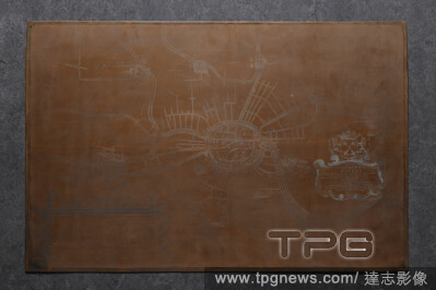
Editorial engraving plate, 1717, right: designed and signed by Joost Janssen Bilhamer, left: Dese Accuraat Copied in 't Iaar 1717, by my T. Reets, bottom left: J. Stemmers senior Sculpsit, engraved, General: 45.5 x 69cm 455 x 690mm, Copper engraving plate with t...
- 2021-02-21
- 1
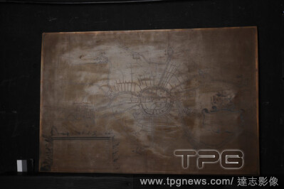
Editorial engraving plate, 1717, right: designed and signed by Joost Janssen Bilhamer, left: Dese Accuraat Copied in 't Iaar 1717, by my T. Reets, bottom left: J. Stemmers senior Sculpsit, engraved, General: 45.5 x 69cm 455 x 690mm, Copper engraving plate with t...
- 2021-02-21
- 1
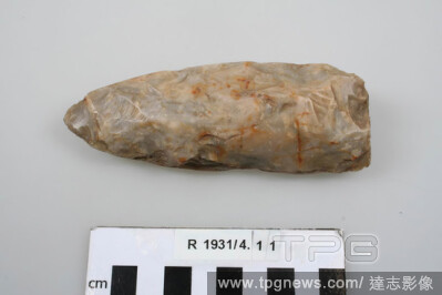
Editorial Unpolished ax of flint, ax, stone, flint, 12 x 4,2 x 2,7 cm, prehistoric, France, unknown, unknown, Vauremy les Sieges.
- 2021-02-20
- 1
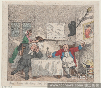
Editorial Thomas Rowlandson, Long Sermons and Long Sieges are apt to Lull the Senses, February 11, 1783, Etching and aquatint, hand-colored, Sheet (trimmed): 6 1/8 ? 6 15/16 in. (15.5 ? 17.7 cm), Prints.
- 2021-02-19
- 2

Editorial Thomas Rowlandson, Long Sermons and Long Sieges are apt to Lull the Senses, February 11, 1783, Etching and aquatint, Plate: 6 1/8 ? 7 in. (15.6 ? 17.8 cm), Sheet: 10 1/8 ? 17 5/16 in. (25.7 ? 44 cm), Prints.
- 2021-02-19
- 2

Editorial World Tour Masters 1000 - Paris Masters
- 2020-11-02
- 1

Editorial Study of a machine used in sieges. Miniature, 15th century. Conde Museum. Chateau of Chantilly, France.
- 2020-09-11
- 1
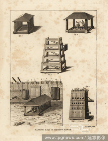
Editorial Machines used in ancient sieges. Vinea 1, pluteus 2, moveable towers 3,4, and different modes of defending castle walls from a battering ram. Copperplate engraving by Goodnight from Francis Grose's Military Antiquities respecting a History of the Engli...
- 2020-07-28
- 1

Editorial Lille TRAIN MARQUAGE DISTANCIATION
- 2020-05-07
- 6

Editorial CORONAVIRUS
- 2020-05-06
- 22
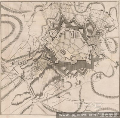
Editorial Siege of Le Quesnoy, 1712 Plan of the City of Quesnoy Enclosed the 8. June by General Baron Fagel (...) / Plan de la Ville de Quesnoy (...) ( title on object), Map of the siege of le Quesnoy by the Allies under Baron Fagel from 8 June 1712. Not numbere...
- 2020-01-15
- 1

Editorial Map of Temesv?r, 1716 Plan de Temiswar and the surrounding areas of the Atacta dans la Palanque (...) / Plais of Temiswar and its surrounding areas, and a Design to strengthen it (title on object), Map of Temesv?r (in present-day Romania), captured fro...
- 2019-12-18
- 1

Editorial Gibraltar and its sieges : with a description of its natural features.
- 2019-12-18
- 1

Editorial Sieges Denkmal Konigsplatz, Unknown maker, German, about 1870, Albumen silver print.
- 2019-11-19
- 1
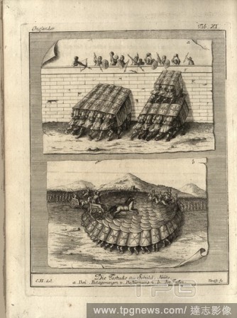
Editorial The Testudo or Shield Toad Onosander, Fig. A: The Testudo in sieges and storms, Fig. B: The Testudo in the meeting, signed: C.H. del, Verelst fc, Tab. XI, after p. 68, H., C. (del.); Verhelst, Aegid (fec.), Albrecht Heinrich Baumg?rtner: Vollst?ndige S...
- 2019-11-18
- 1

Editorial Medieval History. 15th century. Study of a flying machine used in sieges. Chantilly Castle. France.
- 2019-09-16
- 1
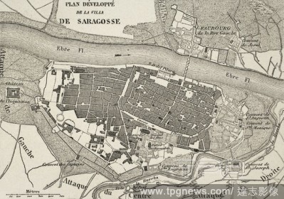
Editorial Napoleonic map.City of Saragossa, Aragon, Spain. Edited in 1864. During the War of Spanish Independence, the city suffered two sieges, 1808 and 1809. Atlas de l'Histoire du Consulat et de l'Empire. History of the Consulate and the Empire of France unde...
- 2019-06-10
- 1
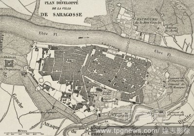
Editorial Napoleonic map.City of Saragossa, Aragon, Spain. Edited in 1864. During the War of Spanish Independence, the city suffered two sieges, 1808 and 1809. Atlas de l'Histoire du Consulat et de l'Empire. History of the Consulate and the Empire of France unde...
- 2019-01-25
- 1

Editorial Medieval History. 15th century. Study of a flying machine used in sieges. Chantilly Castle. France.
- 2019-01-23
- 1

Editorial A draught of the country round Limerick. A colored "draught of the country round Limerick," shewing the works as they were during the sieges in the time of William III. ca. 1752. Source: Maps K.Top.54.20. Language: English.
- 2018-12-06
- 1
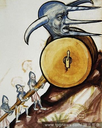
Editorial Study of a machine used in sieges. Miniature, 15th century. Conde Museum. Chateau of Chantilly, France.
- 2018-07-30
- 1

Editorial Six Years in Biscay, comprising a personal narrative of the sieges of Bilbao in June 1835, and Oct. to Dec. 1836. and of the principal events which occurred in that city and the Basque provinces, during the years 1830 to 1837.
- 2018-07-27
- 1
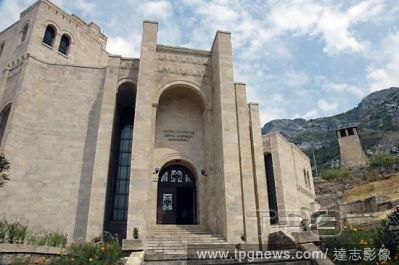
Editorial Albania. Kruje. The Kruja castle. Withstood three massive sieges from the Turks. Outside The National Skanderbeg Museum within the castle.
- 2018-07-24
- 4

Editorial Medieval History. 15th century. Study of a flying machine used in sieges. Chantilly Castle. France.
- 2018-07-23
- 1

Editorial Crusader fortress Kerak, dominating the southern end of the Dead Sea, was built in 1142. It fell to sultan Saladin's troops in 1188, after three sieges.
- 2018-06-22
- 9
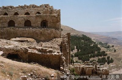
Editorial Crusader fortress Kerak, dominating the southern end of the Dead Sea, was built in 1142. It fell to sultan Saladin's troops in 1188, after three sieges. The Mamluk wing, built after the Arab conquest.
- 2018-06-22
- 3
 Loading