filter
-
Brand
- By Category
- Direction
- Date Range
80Events
Pictures
Events

Editorial
- 2023-06-15
- 1
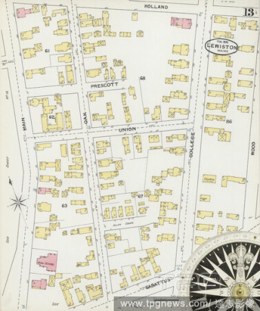
Editorial Image 13 of Sanborn Fire Insurance Map from Lewiston, Androscoggin County, Maine. Feb 1892. 15 Sheet(s), America, street map with a Nineteenth Century compass.
- 2021-02-20
- 1
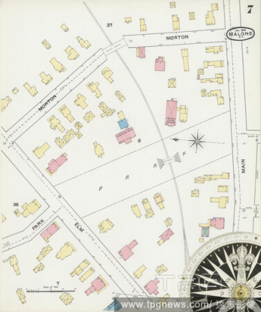
Editorial Image 7 of Sanborn Fire Insurance Map from Malone, Franklin County, New York. Feb 1892. 9 Sheet(s), America, street map with a Nineteenth Century compass.
- 2021-02-20
- 1

Editorial Image 6 of Sanborn Fire Insurance Map from Spencer, Worcester County, Massachusetts. Feb 1892. 11 Sheet(s), America, street map with a Nineteenth Century compass.
- 2021-02-20
- 1
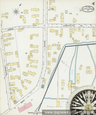
Editorial Image 4 of Sanborn Fire Insurance Map from Littleton, Grafton County, New Hampshire. Feb 1892. 4 Sheet(s), America, street map with a Nineteenth Century compass.
- 2021-02-20
- 1

Editorial Image 8 of Sanborn Fire Insurance Map from Keene, Cheshire County, New Hampshire. Feb 1892. 11 Sheet(s), America, street map with a Nineteenth Century compass.
- 2021-02-20
- 1

Editorial Image 1 of Sanborn Fire Insurance Map from Indiana, Indiana County, Pennsylvania. Feb 1892. 11 Sheet(s). Includes West Indiana, America, street map with a Nineteenth Century compass.
- 2021-02-20
- 1
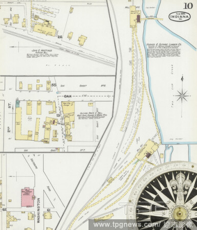
Editorial Image 10 of Sanborn Fire Insurance Map from Indiana, Indiana County, Pennsylvania. Feb 1892. 11 Sheet(s). Includes West Indiana, America, street map with a Nineteenth Century compass.
- 2021-02-20
- 3
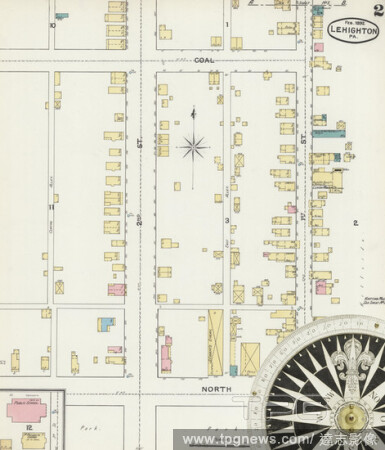
Editorial Image 2 of Sanborn Fire Insurance Map from Lehighton, Carbon County, Pennsylvania. Feb 1892. 3 Sheet(s), America, street map with a Nineteenth Century compass.
- 2021-02-20
- 1
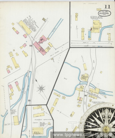
Editorial Image 11 of Sanborn Fire Insurance Map from Keene, Cheshire County, New Hampshire. Feb 1892. 11 Sheet(s), America, street map with a Nineteenth Century compass.
- 2021-02-20
- 1

Editorial Image 1 of Sanborn Fire Insurance Map from Malone, Franklin County, New York. Feb 1892. 9 Sheet(s), America, street map with a Nineteenth Century compass.
- 2021-02-20
- 1

Editorial Image 1 of Sanborn Fire Insurance Map from Keene, Cheshire County, New Hampshire. Feb 1892. 11 Sheet(s), America, street map with a Nineteenth Century compass.
- 2021-02-20
- 1

Editorial Image 2 of Sanborn Fire Insurance Map from Spencer, Worcester County, Massachusetts. Feb 1892. 11 Sheet(s), America, street map with a Nineteenth Century compass.
- 2021-02-20
- 1

Editorial Image 9 of Sanborn Fire Insurance Map from Spencer, Worcester County, Massachusetts. Feb 1892. 11 Sheet(s), America, street map with a Nineteenth Century compass.
- 2021-02-20
- 1
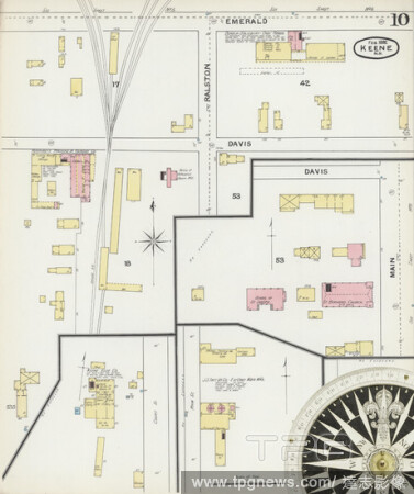
Editorial Image 10 of Sanborn Fire Insurance Map from Keene, Cheshire County, New Hampshire. Feb 1892. 11 Sheet(s), America, street map with a Nineteenth Century compass.
- 2021-02-20
- 1
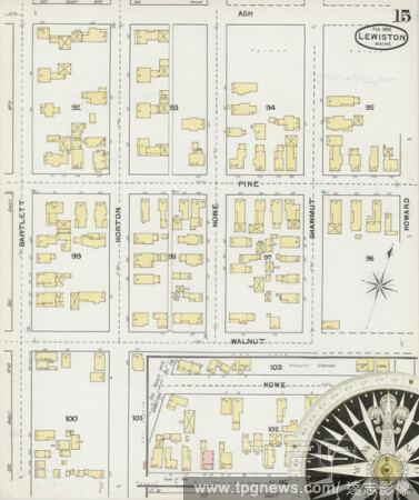
Editorial Image 15 of Sanborn Fire Insurance Map from Lewiston, Androscoggin County, Maine. Feb 1892. 15 Sheet(s), America, street map with a Nineteenth Century compass.
- 2021-02-20
- 1
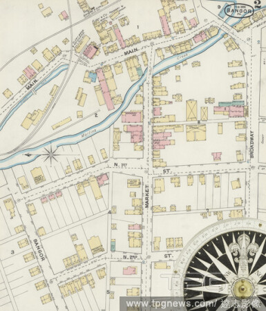
Editorial Image 2 of Sanborn Fire Insurance Map from Bangor, Northampton County, Pennsylvania. Feb 1892. 2 Sheet(s), America, street map with a Nineteenth Century compass.
- 2021-02-20
- 1

Editorial Image 9 of Sanborn Fire Insurance Map from Malone, Franklin County, New York. Feb 1892. 9 Sheet(s), America, street map with a Nineteenth Century compass.
- 2021-02-20
- 1

Editorial Image 5 of Sanborn Fire Insurance Map from Honesdale, Wayne County, Pennsylvania. Feb 1892. 7 Sheet(s), America, street map with a Nineteenth Century compass.
- 2021-02-20
- 2

Editorial Image 2 of Sanborn Fire Insurance Map from Hinsdale, Cheshire County, New Hampshire. Feb 1892. 3 Sheet(s), America, street map with a Nineteenth Century compass.
- 2021-02-20
- 1

Editorial Image 1 of Sanborn Fire Insurance Map from Spencer, Worcester County, Massachusetts. Feb 1892. 11 Sheet(s), America, street map with a Nineteenth Century compass.
- 2021-02-20
- 2

Editorial Image 2 of Sanborn Fire Insurance Map from Littleton, Grafton County, New Hampshire. Feb 1892. 4 Sheet(s), America, street map with a Nineteenth Century compass.
- 2021-02-20
- 1
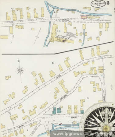
Editorial Image 3 of Sanborn Fire Insurance Map from Hinsdale, Cheshire County, New Hampshire. Feb 1892. 3 Sheet(s), America, street map with a Nineteenth Century compass.
- 2021-02-20
- 2
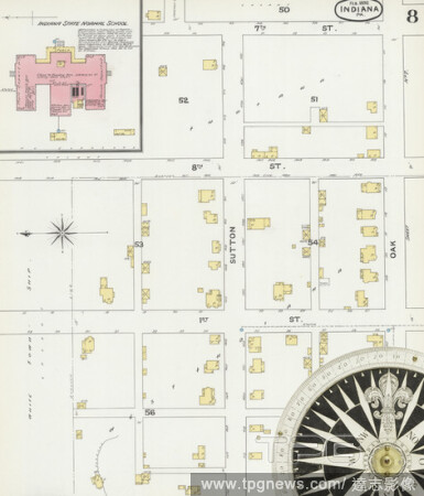
Editorial Image 8 of Sanborn Fire Insurance Map from Indiana, Indiana County, Pennsylvania. Feb 1892. 11 Sheet(s). Includes West Indiana, America, street map with a Nineteenth Century compass.
- 2021-02-20
- 3
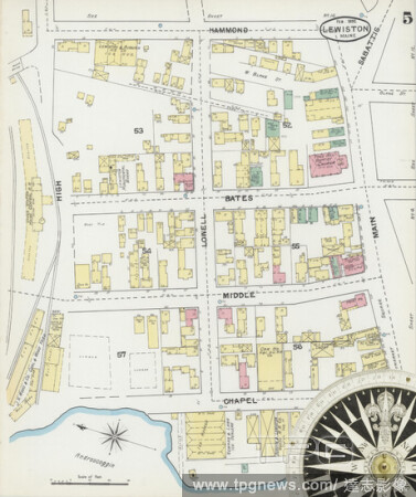
Editorial Image 5 of Sanborn Fire Insurance Map from Lewiston, Androscoggin County, Maine. Feb 1892. 15 Sheet(s), America, street map with a Nineteenth Century compass.
- 2021-02-19
- 2

Editorial Image 4 of Sanborn Fire Insurance Map from Thompsonville, Hartford County, Connecticut. Feb 1892. 6 Sheet(s), America, street map with a Nineteenth Century compass.
- 2021-02-19
- 4

Editorial Image 11 of Sanborn Fire Insurance Map from Spencer, Worcester County, Massachusetts. Feb 1892. 11 Sheet(s), America, street map with a Nineteenth Century compass.
- 2021-02-19
- 2
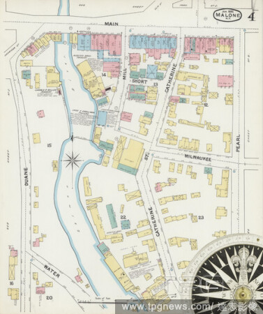
Editorial Image 4 of Sanborn Fire Insurance Map from Malone, Franklin County, New York. Feb 1892. 9 Sheet(s), America, street map with a Nineteenth Century compass.
- 2021-02-19
- 2
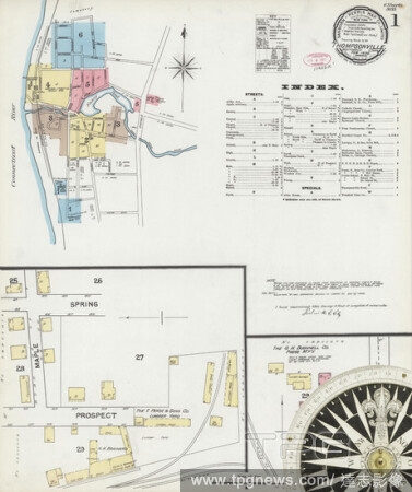
Editorial Image 1 of Sanborn Fire Insurance Map from Thompsonville, Hartford County, Connecticut. Feb 1892. 6 Sheet(s), America, street map with a Nineteenth Century compass.
- 2021-02-19
- 2
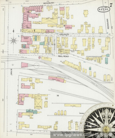
Editorial Image 7 of Sanborn Fire Insurance Map from Keene, Cheshire County, New Hampshire. Feb 1892. 11 Sheet(s), America, street map with a Nineteenth Century compass.
- 2021-02-19
- 2
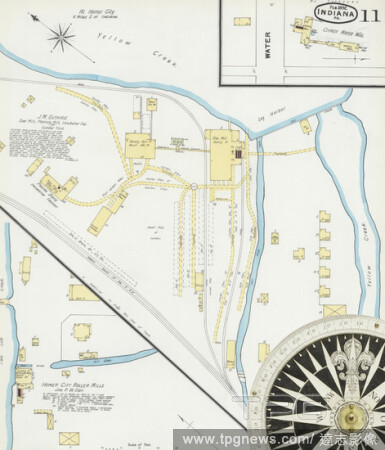
Editorial Image 11 of Sanborn Fire Insurance Map from Indiana, Indiana County, Pennsylvania. Feb 1892. 11 Sheet(s). Includes West Indiana, America, street map with a Nineteenth Century compass.
- 2021-02-19
- 4
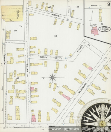
Editorial Image 9 of Sanborn Fire Insurance Map from Keene, Cheshire County, New Hampshire. Feb 1892. 11 Sheet(s), America, street map with a Nineteenth Century compass.
- 2021-02-19
- 4

Editorial Image 1 of Sanborn Fire Insurance Map from Chateaugay, Franklin County, New York. Feb 1892. 2 Sheet(s), America, street map with a Nineteenth Century compass.
- 2021-02-19
- 2

Editorial Image 5 of Sanborn Fire Insurance Map from Blairsville, Indiana County, Pennsylvania. Feb 1892. 7 Sheet(s), America, street map with a Nineteenth Century compass.
- 2021-02-19
- 4
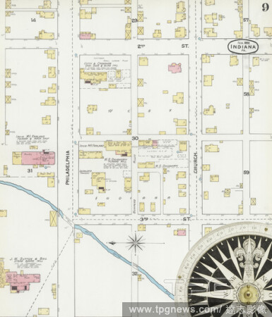
Editorial Image 9 of Sanborn Fire Insurance Map from Indiana, Indiana County, Pennsylvania. Feb 1892. 11 Sheet(s). Includes West Indiana, America, street map with a Nineteenth Century compass.
- 2021-02-19
- 2

Editorial Image 5 of Sanborn Fire Insurance Map from Keene, Cheshire County, New Hampshire. Feb 1892. 11 Sheet(s), America, street map with a Nineteenth Century compass.
- 2021-02-19
- 2

Editorial Image 4 of Sanborn Fire Insurance Map from Honesdale, Wayne County, Pennsylvania. Feb 1892. 7 Sheet(s), America, street map with a Nineteenth Century compass.
- 2021-02-19
- 4
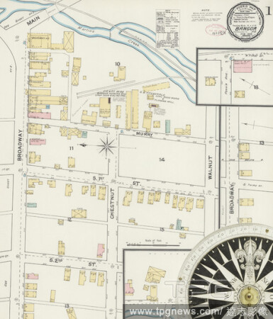
Editorial Image 1 of Sanborn Fire Insurance Map from Bangor, Northampton County, Pennsylvania. Feb 1892. 2 Sheet(s), America, street map with a Nineteenth Century compass.
- 2021-02-19
- 2
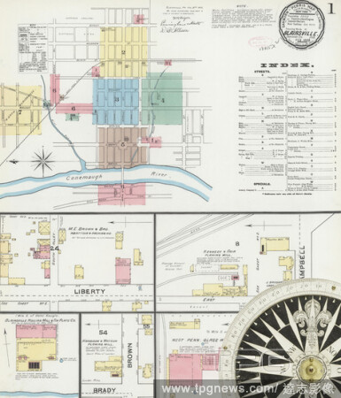
Editorial Image 1 of Sanborn Fire Insurance Map from Blairsville, Indiana County, Pennsylvania. Feb 1892. 7 Sheet(s), America, street map with a Nineteenth Century compass.
- 2021-02-19
- 4
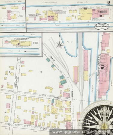
Editorial Image 2 of Sanborn Fire Insurance Map from Windsor Locks, Hartford County, Connecticut. Feb 1892. 2 Sheet(s), America, street map with a Nineteenth Century compass.
- 2021-02-19
- 2

Editorial Image 3 of Sanborn Fire Insurance Map from Winchendon, Worcester County, Massachusetts. Feb 1892. 8 Sheet(s), America, street map with a Nineteenth Century compass.
- 2021-02-19
- 4

Editorial Image 3 of Sanborn Fire Insurance Map from Blairsville, Indiana County, Pennsylvania. Feb 1892. 7 Sheet(s), America, street map with a Nineteenth Century compass.
- 2021-02-19
- 2

Editorial Image 7 of Sanborn Fire Insurance Map from Spencer, Worcester County, Massachusetts. Feb 1892. 11 Sheet(s), America, street map with a Nineteenth Century compass.
- 2021-02-19
- 2
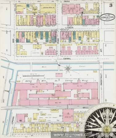
Editorial Image 3 of Sanborn Fire Insurance Map from Lewiston, Androscoggin County, Maine. Feb 1892. 15 Sheet(s), America, street map with a Nineteenth Century compass.
- 2021-02-19
- 2

Editorial Image 8 of Sanborn Fire Insurance Map from Spencer, Worcester County, Massachusetts. Feb 1892. 11 Sheet(s), America, street map with a Nineteenth Century compass.
- 2021-02-19
- 4
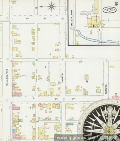
Editorial Image 2 of Sanborn Fire Insurance Map from Indiana, Indiana County, Pennsylvania. Feb 1892. 11 Sheet(s). Includes West Indiana, America, street map with a Nineteenth Century compass.
- 2021-02-19
- 2
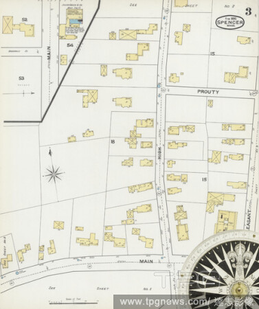
Editorial Image 3 of Sanborn Fire Insurance Map from Spencer, Worcester County, Massachusetts. Feb 1892. 11 Sheet(s), America, street map with a Nineteenth Century compass.
- 2021-02-19
- 2

Editorial Image 3 of Sanborn Fire Insurance Map from Honesdale, Wayne County, Pennsylvania. Feb 1892. 7 Sheet(s), America, street map with a Nineteenth Century compass.
- 2021-02-19
- 2

Editorial Image 5 of Sanborn Fire Insurance Map from Indiana, Indiana County, Pennsylvania. Feb 1892. 11 Sheet(s). Includes West Indiana, America, street map with a Nineteenth Century compass.
- 2021-02-19
- 2
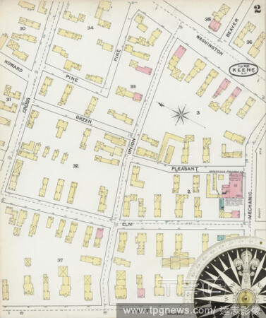
Editorial Image 2 of Sanborn Fire Insurance Map from Keene, Cheshire County, New Hampshire. Feb 1892. 11 Sheet(s), America, street map with a Nineteenth Century compass.
- 2021-02-19
- 2

Editorial Image 8 of Sanborn Fire Insurance Map from Winchendon, Worcester County, Massachusetts. Feb 1892. 8 Sheet(s), America, street map with a Nineteenth Century compass.
- 2021-02-19
- 4
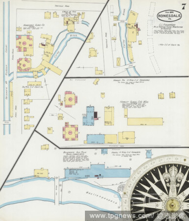
Editorial Image 7 of Sanborn Fire Insurance Map from Honesdale, Wayne County, Pennsylvania. Feb 1892. 7 Sheet(s), America, street map with a Nineteenth Century compass.
- 2021-02-19
- 2
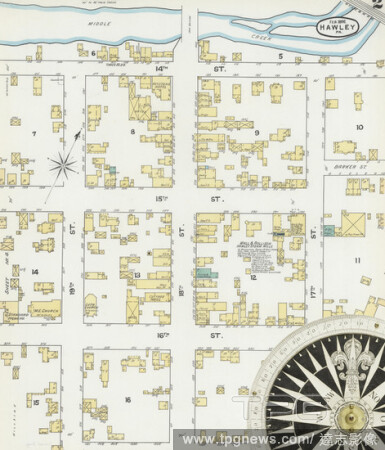
Editorial Image 2 of Sanborn Fire Insurance Map from Hawley, Wayne County, Pennsylvania. Feb 1892. 4 Sheet(s), America, street map with a Nineteenth Century compass.
- 2021-02-19
- 4

Editorial Image 1 of Sanborn Fire Insurance Map from Windsor Locks, Hartford County, Connecticut. Feb 1892. 2 Sheet(s), America, street map with a Nineteenth Century compass.
- 2021-02-19
- 2

Editorial Image 1 of Sanborn Fire Insurance Map from Winchendon, Worcester County, Massachusetts. Feb 1892. 8 Sheet(s), America, street map with a Nineteenth Century compass.
- 2021-02-19
- 4

Editorial Image 7 of Sanborn Fire Insurance Map from Indiana, Indiana County, Pennsylvania. Feb 1892. 11 Sheet(s). Includes West Indiana, America, street map with a Nineteenth Century compass.
- 2021-02-19
- 2

Editorial Image 4 of Sanborn Fire Insurance Map from Keene, Cheshire County, New Hampshire. Feb 1892. 11 Sheet(s), America, street map with a Nineteenth Century compass.
- 2021-02-19
- 2

Editorial Image 6 of Sanborn Fire Insurance Map from Winchendon, Worcester County, Massachusetts. Feb 1892. 8 Sheet(s), America, street map with a Nineteenth Century compass.
- 2021-02-19
- 2

Editorial Image 1 of Sanborn Fire Insurance Map from Lancaster, Coos County, New Hampshire. Feb 1892. 3 Sheet(s), America, street map with a Nineteenth Century compass.
- 2021-02-19
- 2

Editorial Image 3 of Sanborn Fire Insurance Map from Indiana, Indiana County, Pennsylvania. Feb 1892. 11 Sheet(s). Includes West Indiana, America, street map with a Nineteenth Century compass.
- 2021-02-19
- 2

Editorial Image 2 of Sanborn Fire Insurance Map from Winchendon, Worcester County, Massachusetts. Feb 1892. 8 Sheet(s), America, street map with a Nineteenth Century compass.
- 2021-02-19
- 4
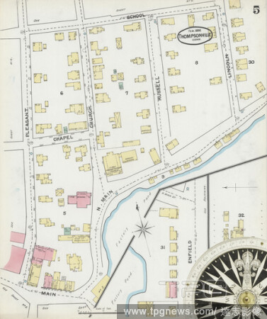
Editorial Image 5 of Sanborn Fire Insurance Map from Thompsonville, Hartford County, Connecticut. Feb 1892. 6 Sheet(s), America, street map with a Nineteenth Century compass.
- 2021-02-19
- 2

Editorial Image 5 of Sanborn Fire Insurance Map from Winchendon, Worcester County, Massachusetts. Feb 1892. 8 Sheet(s), America, street map with a Nineteenth Century compass.
- 2021-02-19
- 6

Editorial Image 2 of Sanborn Fire Insurance Map from Lewiston, Androscoggin County, Maine. Feb 1892. 15 Sheet(s), America, street map with a Nineteenth Century compass.
- 2021-02-19
- 2
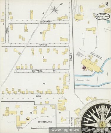
Editorial Image 2 of Sanborn Fire Insurance Map from Groveton, Coos County, New Hampshire. Feb 1892. 2 Sheet(s), America, street map with a Nineteenth Century compass.
- 2021-02-19
- 6
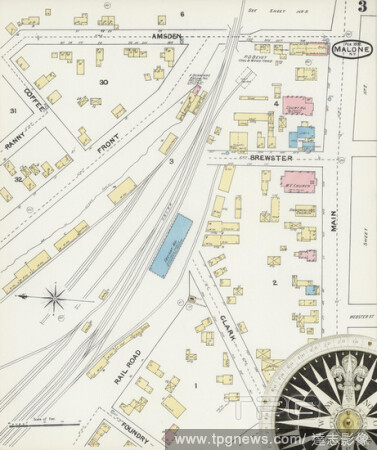
Editorial Image 3 of Sanborn Fire Insurance Map from Malone, Franklin County, New York. Feb 1892. 9 Sheet(s), America, street map with a Nineteenth Century compass.
- 2021-02-19
- 2

Editorial Image 2 of Sanborn Fire Insurance Map from Chateaugay, Franklin County, New York. Feb 1892. 2 Sheet(s), America, street map with a Nineteenth Century compass.
- 2021-02-19
- 2
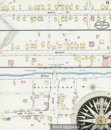
Editorial Image 6 of Sanborn Fire Insurance Map from Blairsville, Indiana County, Pennsylvania. Feb 1892. 7 Sheet(s), America, street map with a Nineteenth Century compass.
- 2021-02-19
- 1

Editorial Image 3 of Sanborn Fire Insurance Map from Keene, Cheshire County, New Hampshire. Feb 1892. 11 Sheet(s), America, street map with a Nineteenth Century compass.
- 2021-02-19
- 1

Editorial Image 7 of Sanborn Fire Insurance Map from Winchendon, Worcester County, Massachusetts. Feb 1892. 8 Sheet(s), America, street map with a Nineteenth Century compass.
- 2021-02-19
- 1
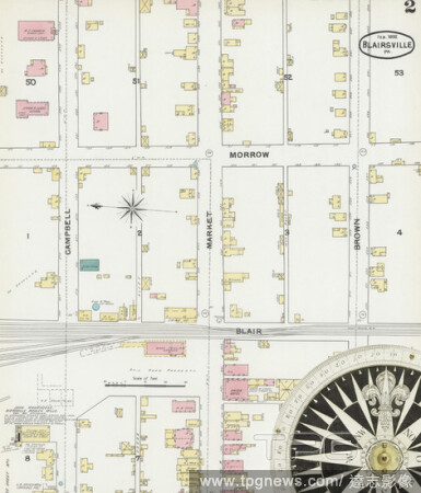
Editorial Image 2 of Sanborn Fire Insurance Map from Blairsville, Indiana County, Pennsylvania. Feb 1892. 7 Sheet(s), America, street map with a Nineteenth Century compass.
- 2021-02-19
- 1
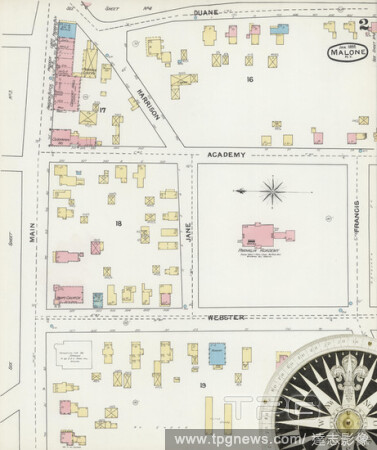
Editorial Image 2 of Sanborn Fire Insurance Map from Malone, Franklin County, New York. Feb 1892. 9 Sheet(s), America, street map with a Nineteenth Century compass.
- 2021-02-19
- 3

Editorial Image 1 of Sanborn Fire Insurance Map from Groveton, Coos County, New Hampshire. Feb 1892. 2 Sheet(s), America, street map with a Nineteenth Century compass.
- 2021-02-19
- 1

Editorial Image 2 of Sanborn Fire Insurance Map from Winchester, Cheshire County, New Hampshire. Feb 1892. 2 Sheet(s), America, street map with a Nineteenth Century compass.
- 2021-02-19
- 2

Editorial Image 1 of Sanborn Fire Insurance Map from Winchester, Cheshire County, New Hampshire. Feb 1892. 2 Sheet(s), America, street map with a Nineteenth Century compass.
- 2021-02-19
- 1

Editorial Image 1 of Sanborn Fire Insurance Map from Hinsdale, Cheshire County, New Hampshire. Feb 1892. 3 Sheet(s), America, street map with a Nineteenth Century compass.
- 2021-02-19
- 1
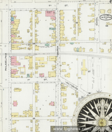
Editorial Image 6 of Sanborn Fire Insurance Map from Indiana, Indiana County, Pennsylvania. Feb 1892. 11 Sheet(s). Includes West Indiana, America, street map with a Nineteenth Century compass.
- 2021-02-19
- 1

Editorial Image 3 of Sanborn Fire Insurance Map from Littleton, Grafton County, New Hampshire. Feb 1892. 4 Sheet(s), America, street map with a Nineteenth Century compass.
- 2021-02-19
- 1
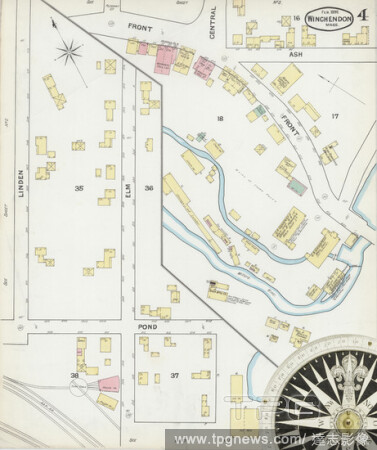
Editorial Image 4 of Sanborn Fire Insurance Map from Winchendon, Worcester County, Massachusetts. Feb 1892. 8 Sheet(s), America, street map with a Nineteenth Century compass.
- 2021-02-19
- 2
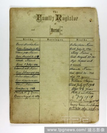
Editorial Document - 'Family Register', Nairn Family, 1862-1920, Single page 'Family Register' relating to the Nairn family, removed from book, probably a family bible. The register provides columns for Births, Marriages and Deaths; only Births and Deaths have b...
- 2019-11-18
- 1
 Loading