
filter
-
Brand
- By Category
- Direction
- Date Range
64Events
Pictures
Events

Editorial Mass Shooting in Lewiston, Maine, Leaves 22 Dead, Scores Injured
- 2023-10-26
- 2

Editorial Mass Shooting in Lewiston, Maine, Leaves 22 Dead, Scores Injured, United States - 26 Oct 2023
- 2023-10-26
- 2

Editorial Mass Shooting in Lewiston, Maine, Leaves 22 Dead, Scores Injured, United States - 26 Oct 2023
- 2023-06-16
- 1

Editorial Mass Shooting in Lewiston, Maine, Leaves 22 Dead, Scores Injured, United States - 26 Oct 2023
- 2023-06-15
- 1

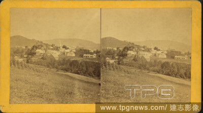
Editorial Views in Auburn. Main Street, looking up. (Androscoggin County), still image, Stereographs, 1850 - 1930.
- 2021-04-07
- 1
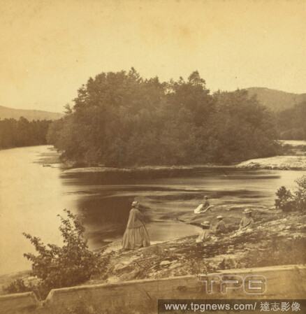
Editorial Looking up Androscoggin, from Lead-Mine Bridge, Shelburne, N.H., Soule, John P. (1827-1904), New Hampshire, White Mountains (N.H. and Me.).
- 2021-04-07
- 1
Editorial Androscoggin River., Rivers, New Hampshire, Androscoggin River (N.H. and Me.).
- 2021-02-22
- 2
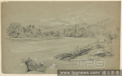
Editorial The Androscoggin River at Gorham, New Hampshire, Daniel Huntington, American, 18161906, Graphite, black and white crayon on grey-brown paper, River foreground and center. Rocks right foreground and at right. Trees on the banks with rock ridge beyond, r...
- 2021-02-22
- 1
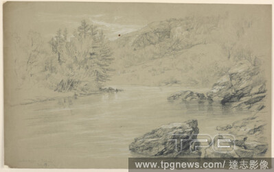
Editorial Androscoggin River by Lead Mine Bridge, Gorham, New Hampshire, Daniel Huntington, American, 18161906, Graphite, white and black crayon on grey paper, Androscoggin River in foreground and center. Trees and ridges, left and right, with rocks in foregroun...
- 2021-02-21
- 1
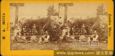
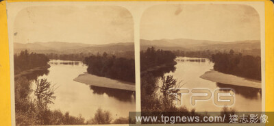
Editorial View of the Androscoggin River., still image, Stereographs, 1850 - 1930, Mills, H. A.
- 2021-02-21
- 1

Editorial View of Mechanic Falls, Androscoggin County., still image, Stereographs, 1850 - 1930, Gurney, C. S.
- 2021-02-21
- 1

Editorial View of Mechanic Falls, Androscoggin County., still image, Stereographs, 1850 - 1930.
- 2021-02-21
- 1

Editorial View of the Androscoggin River., still image, Stereographs, 1850 - 1930, Mills, H. A.
- 2021-02-21
- 1

Editorial View of Mechanic Falls, Androscoggin County., still image, Stereographs, 1850 - 1930, Gurney, C. S.
- 2021-02-21
- 1
Editorial View of Mechanic Falls, Androscoggin County., still image, Stereographs, 1850 - 1930.
- 2021-02-21
- 1

Editorial Image 4 of Sanborn Fire Insurance Map from Auburn, Androscoggin County, Maine. Mar 1892. 9 Sheet(s), America, street map with a Nineteenth Century compass.
- 2021-02-20
- 1
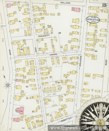
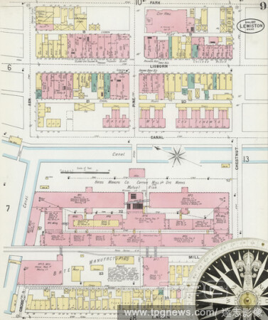
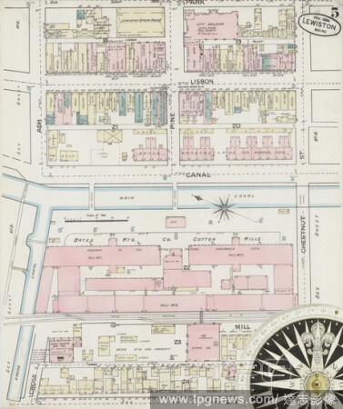
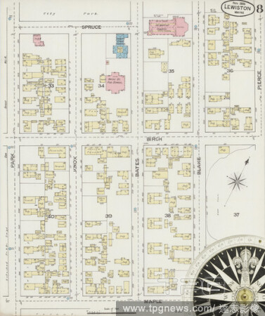
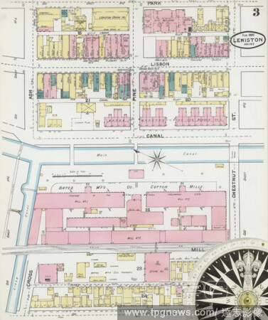
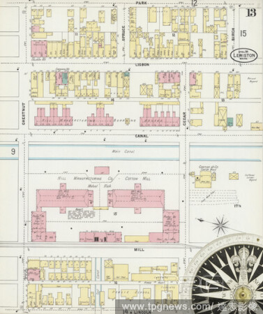
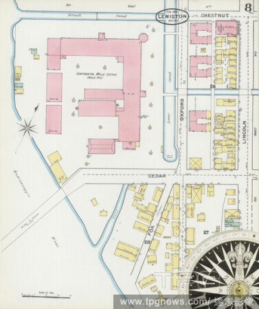
Editorial Image 13 of Sanborn Fire Insurance Map from Lewiston, Androscoggin County, Maine. Feb 1892. 15 Sheet(s), America, street map with a Nineteenth Century compass.
- 2021-02-20
- 1
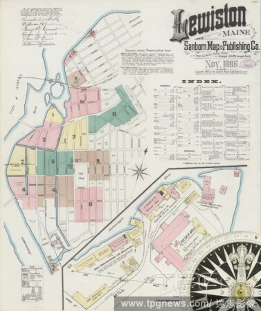
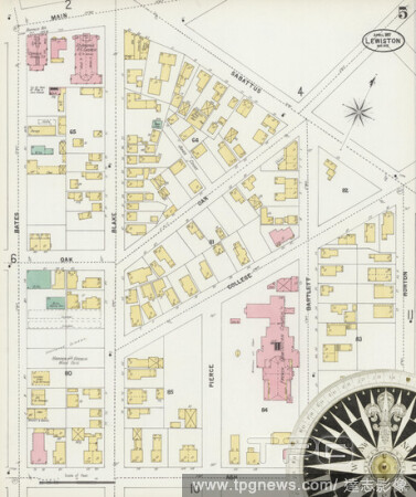
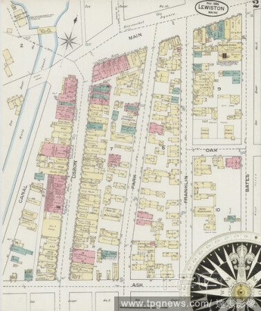
Editorial Image 1 of Sanborn Fire Insurance Map from Lewiston, Androscoggin County, Maine. Nov 1886. 11 Sheet(s), America, street map with a Nineteenth Century compass.
- 2021-02-20
- 1
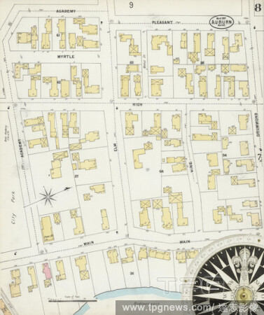
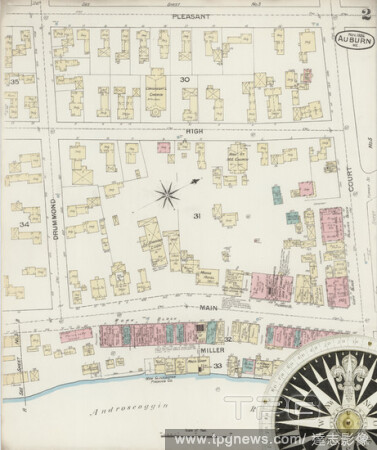
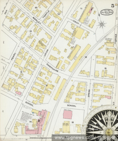
Editorial Image 8 of Sanborn Fire Insurance Map from Auburn, Androscoggin County, Maine. Mar 1897. 11 Sheet(s), America, street map with a Nineteenth Century compass.
- 2021-02-20
- 1
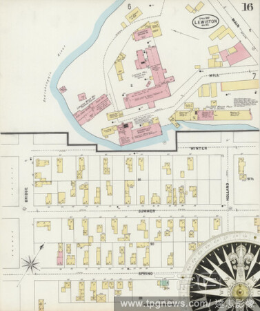
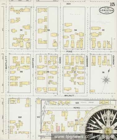
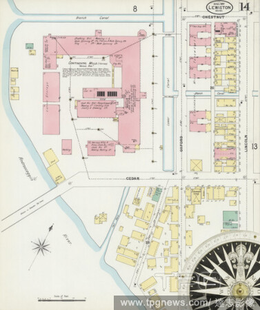
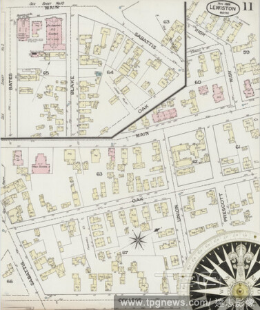
Editorial Image 16 of Sanborn Fire Insurance Map from Lewiston, Androscoggin County, Maine. Apr 1897. 17 Sheet(s), America, street map with a Nineteenth Century compass.
- 2021-02-20
- 1
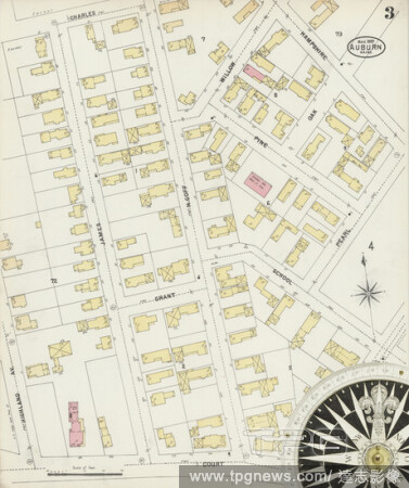
Editorial Image 3 of Sanborn Fire Insurance Map from Auburn, Androscoggin County, Maine. Mar 1897. 11 Sheet(s), America, street map with a Nineteenth Century compass.
- 2021-02-20
- 1
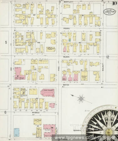
Editorial Image 10 of Sanborn Fire Insurance Map from Lewiston, Androscoggin County, Maine. Apr 1897. 17 Sheet(s), America, street map with a Nineteenth Century compass.
- 2021-02-20
- 1

Editorial Image 4 of Sanborn Fire Insurance Map from Auburn, Androscoggin County, Maine. Nov 1886. 6 Sheet(s), America, street map with a Nineteenth Century compass.
- 2021-02-20
- 1
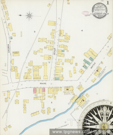
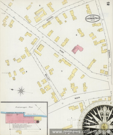
Editorial Image 1 of Sanborn Fire Insurance Map from Livermore Falls, Androscoggin County, Maine. Oct 1892. 2 Sheet(s), America, street map with a Nineteenth Century compass.
- 2021-02-20
- 1
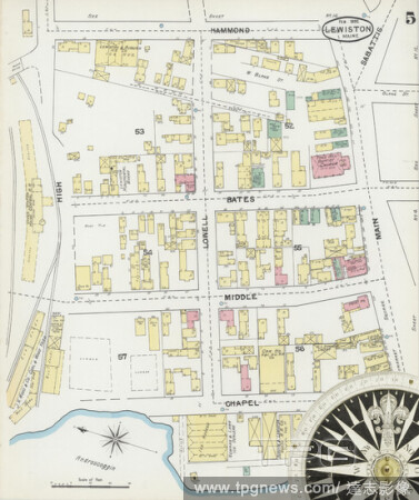
Editorial Image 5 of Sanborn Fire Insurance Map from Lewiston, Androscoggin County, Maine. Apr 1897. 17 Sheet(s), America, street map with a Nineteenth Century compass.
- 2021-02-20
- 1
Editorial Image 9 of Sanborn Fire Insurance Map from Lewiston, Androscoggin County, Maine. Apr 1897. 17 Sheet(s), America, street map with a Nineteenth Century compass.
- 2021-02-20
- 1

Editorial Image 2 of Sanborn Fire Insurance Map from Auburn, Androscoggin County, Maine. Mar 1892. 9 Sheet(s), America, street map with a Nineteenth Century compass.
- 2021-02-20
- 1
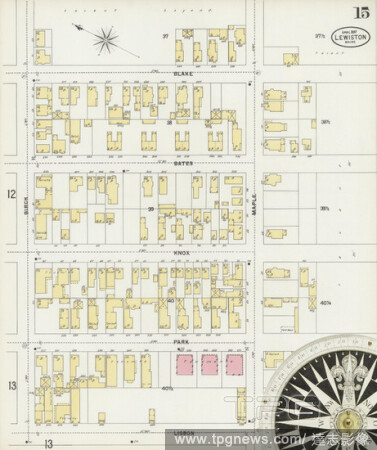
Editorial Image 15 of Sanborn Fire Insurance Map from Lewiston, Androscoggin County, Maine. Feb 1892. 15 Sheet(s), America, street map with a Nineteenth Century compass.
- 2021-02-20
- 1

Editorial Image 12 of Sanborn Fire Insurance Map from Lewiston, Androscoggin County, Maine. Apr 1897. 17 Sheet(s), America, street map with a Nineteenth Century compass.
- 2021-02-20
- 1

Editorial Image 7 of Sanborn Fire Insurance Map from Lewiston, Androscoggin County, Maine. Feb 1892. 15 Sheet(s), America, street map with a Nineteenth Century compass.
- 2021-02-20
- 1
Editorial Image 5 of Sanborn Fire Insurance Map from Lewiston, Androscoggin County, Maine. Nov 1886. 11 Sheet(s), America, street map with a Nineteenth Century compass.
- 2021-02-20
- 1

Editorial Image 4 of Sanborn Fire Insurance Map from Lewiston, Androscoggin County, Maine. Apr 1897. 17 Sheet(s), America, street map with a Nineteenth Century compass.
- 2021-02-20
- 1
Editorial Image 5 of Sanborn Fire Insurance Map from Lewiston, Androscoggin County, Maine. Feb 1892. 15 Sheet(s), America, street map with a Nineteenth Century compass.
- 2021-02-19
- 2
Editorial Image 2 of Sanborn Fire Insurance Map from Livermore Falls, Androscoggin County, Maine. Oct 1892. 2 Sheet(s), America, street map with a Nineteenth Century compass.
- 2021-02-19
- 4

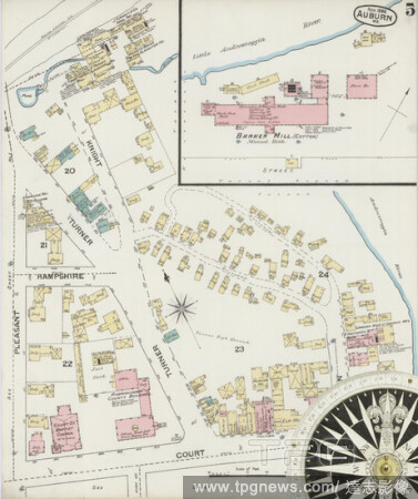
Editorial Image 1 of Sanborn Fire Insurance Map from Auburn, Androscoggin County, Maine. Mar 1892. 9 Sheet(s), America, street map with a Nineteenth Century compass.
- 2021-02-19
- 2
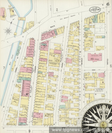
Editorial Image 6 of Sanborn Fire Insurance Map from Lewiston, Androscoggin County, Maine. Apr 1897. 17 Sheet(s), America, street map with a Nineteenth Century compass.
- 2021-02-19
- 2
Editorial Image 8 of Sanborn Fire Insurance Map from Lewiston, Androscoggin County, Maine. Nov 1886. 11 Sheet(s), America, street map with a Nineteenth Century compass.
- 2021-02-19
- 2

Editorial Image 10 of Sanborn Fire Insurance Map from Lewiston, Androscoggin County, Maine. Nov 1886. 11 Sheet(s), America, street map with a Nineteenth Century compass.
- 2021-02-19
- 2
Editorial Image 2 of Sanborn Fire Insurance Map from Lewiston, Androscoggin County, Maine. Nov 1886. 11 Sheet(s), America, street map with a Nineteenth Century compass.
- 2021-02-19
- 2

Editorial Image 11 of Sanborn Fire Insurance Map from Lewiston, Androscoggin County, Maine. Apr 1897. 17 Sheet(s), America, street map with a Nineteenth Century compass.
- 2021-02-19
- 2
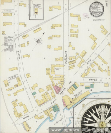
Editorial Image 1 of Sanborn Fire Insurance Map from Mechanic Falls, Androscoggin County, Maine. Jan 1894. 2 Sheet(s), America, street map with a Nineteenth Century compass.
- 2021-02-19
- 2

Editorial Image 7 of Sanborn Fire Insurance Map from Lewiston, Androscoggin County, Maine. Nov 1886. 11 Sheet(s), America, street map with a Nineteenth Century compass.
- 2021-02-19
- 2
Editorial Image 2 of Sanborn Fire Insurance Map from Auburn, Androscoggin County, Maine. Nov 1886. 6 Sheet(s), America, street map with a Nineteenth Century compass.
- 2021-02-19
- 4
Editorial Image 3 of Sanborn Fire Insurance Map from Lewiston, Androscoggin County, Maine. Feb 1892. 15 Sheet(s), America, street map with a Nineteenth Century compass.
- 2021-02-19
- 2

Editorial Image 14 of Sanborn Fire Insurance Map from Lewiston, Androscoggin County, Maine. Feb 1892. 15 Sheet(s), America, street map with a Nineteenth Century compass.
- 2021-02-19
- 2

Editorial Image 4 of Sanborn Fire Insurance Map from Lewiston, Androscoggin County, Maine. Nov 1886. 11 Sheet(s), America, street map with a Nineteenth Century compass.
- 2021-02-19
- 4

Editorial Image 6 of Sanborn Fire Insurance Map from Lewiston, Androscoggin County, Maine. Nov 1886. 11 Sheet(s), America, street map with a Nineteenth Century compass.
- 2021-02-19
- 2

Editorial Image 2 of Sanborn Fire Insurance Map from Lewiston, Androscoggin County, Maine. Apr 1897. 17 Sheet(s), America, street map with a Nineteenth Century compass.
- 2021-02-19
- 2
Editorial Image 15 of Sanborn Fire Insurance Map from Lewiston, Androscoggin County, Maine. Apr 1897. 17 Sheet(s), America, street map with a Nineteenth Century compass.
- 2021-02-19
- 2
Editorial Image 13 of Sanborn Fire Insurance Map from Lewiston, Androscoggin County, Maine. Apr 1897. 17 Sheet(s), America, street map with a Nineteenth Century compass.
- 2021-02-19
- 2

Editorial Image 3 of Sanborn Fire Insurance Map from Lewiston, Androscoggin County, Maine. Nov 1886. 11 Sheet(s), America, street map with a Nineteenth Century compass.
- 2021-02-19
- 2
Editorial Image 14 of Sanborn Fire Insurance Map from Lewiston, Androscoggin County, Maine. Apr 1897. 17 Sheet(s), America, street map with a Nineteenth Century compass.
- 2021-02-19
- 2
Editorial Image 8 of Sanborn Fire Insurance Map from Lewiston, Androscoggin County, Maine. Feb 1892. 15 Sheet(s), America, street map with a Nineteenth Century compass.
- 2021-02-19
- 2

Editorial Image 17 of Sanborn Fire Insurance Map from Lewiston, Androscoggin County, Maine. Apr 1897. 17 Sheet(s), America, street map with a Nineteenth Century compass.
- 2021-02-19
- 2

Editorial Image 2 of Sanborn Fire Insurance Map from Lewiston, Androscoggin County, Maine. Feb 1892. 15 Sheet(s), America, street map with a Nineteenth Century compass.
- 2021-02-19
- 2

Editorial Image 3 of Sanborn Fire Insurance Map from Auburn, Androscoggin County, Maine. Nov 1886. 6 Sheet(s), America, street map with a Nineteenth Century compass.
- 2021-02-19
- 2
Editorial Image 5 of Sanborn Fire Insurance Map from Auburn, Androscoggin County, Maine. Mar 1892. 9 Sheet(s), America, street map with a Nineteenth Century compass.
- 2021-02-19
- 2
Editorial Image 5 of Sanborn Fire Insurance Map from Auburn, Androscoggin County, Maine. Nov 1886. 6 Sheet(s), America, street map with a Nineteenth Century compass.
- 2021-02-19
- 1

Editorial Image 9 of Sanborn Fire Insurance Map from Auburn, Androscoggin County, Maine. Mar 1897. 11 Sheet(s), America, street map with a Nineteenth Century compass.
- 2021-02-19
- 1
Editorial Image 11 of Sanborn Fire Insurance Map from Lewiston, Androscoggin County, Maine. Nov 1886. 11 Sheet(s), America, street map with a Nineteenth Century compass.
- 2021-02-19
- 1
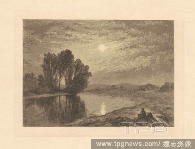
Editorial Moonlight on the Androscoggin. Dated: 1866. Dimensions: image: 12.86 ? 18.1 cm (5 1/16 ? 7 1/8 in.) plate: 15.24 ? 20.32 cm (6 ? 8 in.) sheet: 26.51 ? 35.56 cm (10 7/16 ? 14 in.). Medium: etching and aquatint in black on wove paper.
- 2018-11-21
- 1

Editorial Moonlight on the Androscoggin. Dated: 1866. Dimensions: image: 12.86 ? 18.1 cm (5 1/16 ? 7 1/8 in.) plate: 15.24 ? 20.32 cm (6 ? 8 in.) sheet: 26.51 ? 35.56 cm (10 7/16 ? 14 in.). Medium: etching and aquatint in black on wove paper.
- 2018-09-18
- 1
 Loading