filter
-
Brand
- By Category
- Direction
- Date Range
79Events
Pictures
Events
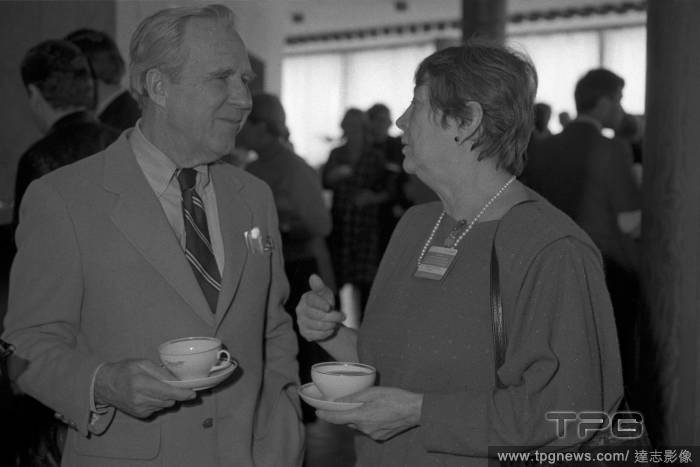
Editorial FILE
- 2023-12-15
- 1
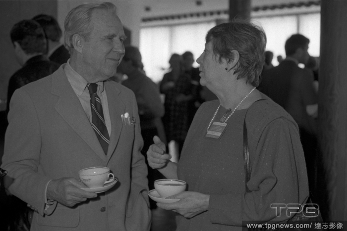
Editorial International Forum for Nuclear-Free World and Survival of Mankind
- 2023-12-15
- 1

Editorial Michael Rubin's Fanatics NBPA Summer League Party, Las Vegas, Nevada, USA - 08 Jul 2023
- 2023-07-10
- 4

Editorial NV: Fanatics x NBPA Summer Players Party
- 2023-07-10
- 4
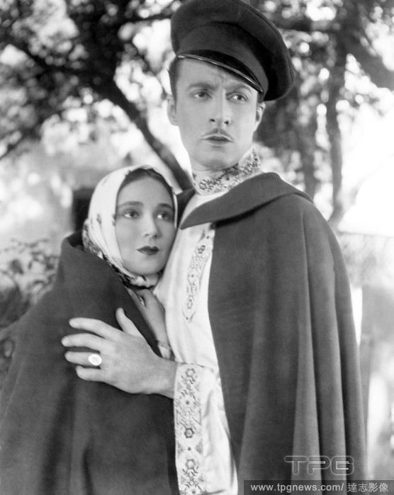
Editorial NV: Fanatics x NBPA Summer Players Party
- 2023-06-27
- 1
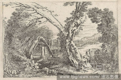
Editorial NV: Fanatics x NBPA Summer Players Party
- 2023-06-16
- 1
Editorial NV: Fanatics x NBPA Summer Players Party
- 2023-06-15
- 1
Editorial NV: Fanatics x NBPA Summer Players Party
- 2023-06-15
- 1
Editorial NV: Fanatics x NBPA Summer Players Party
- 2023-06-15
- 1
Editorial NV: Fanatics x NBPA Summer Players Party
- 2023-06-15
- 1

Editorial NV: Fanatics x NBPA Summer Players Party
- 2023-06-15
- 1

Editorial NV: Fanatics x NBPA Summer Players Party
- 2023-06-15
- 1
Editorial NV: Fanatics x NBPA Summer Players Party
- 2023-06-14
- 1

Editorial NV: Fanatics x NBPA Summer Players Party
- 2023-06-07
- 1

Editorial NV: Fanatics x NBPA Summer Players Party
- 2023-03-18
- 2
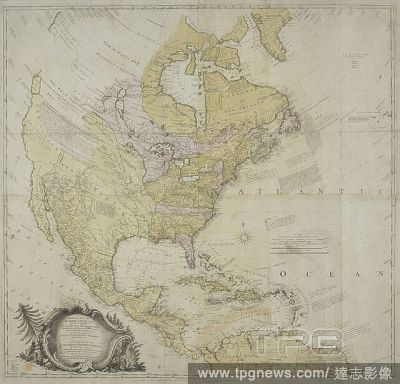
Editorial A map of North America . A GENERAL MAP OF NORTH AMERICA; In which is Express'd The several New Roads, Forts, Engagements, &c, taken from Actual Surveys and Observations Made in the Army employ'd there, From the Years 1754, to 1761: drawn by the late JO...
- 2022-12-24
- 1
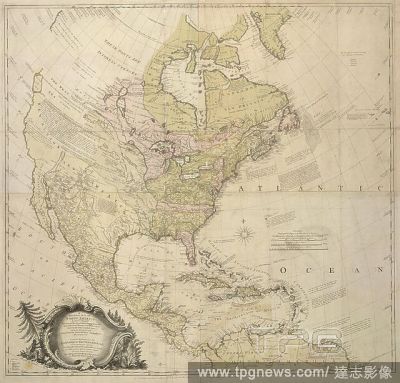
Editorial A map of North America. A GENERAL MAP OF NORTH AMERICA; In which is Express'd The several New Roads, Forts, Engagements, &c, taken from Actual Surveys and Observations Made in the Army employ'd there, From the Years 1754, to 1761: drawn by the late JOH...
- 2022-12-24
- 1

Editorial A map of eastern Canada and part of North America extending from Newfoundland inland to the borders of Lake Ontario and southwards to Cape Cod. PARTIE ORIENTALE DE LA NOUVELLE FRANCE OU DU CANADA. Paris ; Nuremberg ; Londres [London] : chez R.J. Julien...
- 2022-12-24
- 1
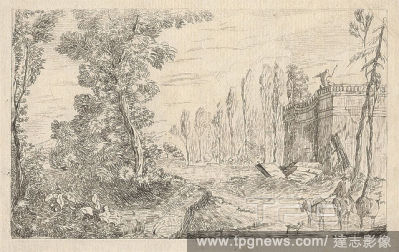
Editorial Horseman Fording a Stream with Cattle, Print made by Jean B. C. Chatelain, 17101771, French, Published by John Rocque, 1704?1762, French, active in Britain, 1737, Etching on moderately thick, slightly textured, beige laid paper, Sheet: 5 13/16 x 8 13/1...
- 2022-12-24
- 1

Editorial A plan of the Royal Palace Gardens and Park at Richmond, with Sion House on the opposite side of the River Thames. An exact Plan of the Royal Palace, Gardens, ... at Richmond, with Sion House ... on the opposite side of the River Thames. Source: Maps K...
- 2022-07-21
- 1

Editorial A plan of Kensington Town Palace, Gardens and part of Hyde Park. 1754. Source: Maps.Crace.10.2. Language: English.
- 2022-07-21
- 1

Editorial JOANNE WOODWARD and PAUL NEWMAN in SAMANTHA (1992), directed by STEVEN LA ROCQUE.
- 2022-04-24
- 1
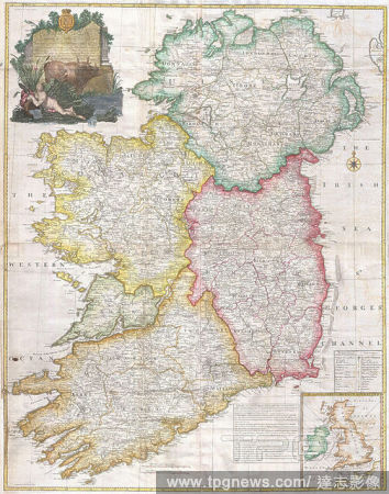
Editorial 1794, Rocque Wall Map of Ireland.
- 2022-01-19
- 1
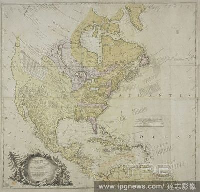
Editorial A map of North America . A GENERAL MAP OF NORTH AMERICA; In which is Express'd The several New Roads, Forts, Engagements, &c, taken from Actual Surveys and Observations Made in the Army employ'd there, From the Years 1754, to 1761: drawn by the late JO...
- 2022-01-18
- 1
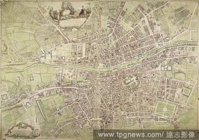
Editorial A map of Dublin. An exact Survey of the City and Suburbs of Dublin ... by Johyn Rocque ... A. Dury Sculpt. [Dublin] : J. Rocque, 1756. Source: Maps K.Top.53.13.a.11 Tab. End. Language: English.
- 2022-01-18
- 1

Editorial A map of North America. A GENERAL MAP OF NORTH AMERICA; In which is Express'd The several New Roads, Forts, Engagements, &c, taken from Actual Surveys and Observations Made in the Army employ'd there, From the Years 1754, to 1761: drawn by the late JOH...
- 2022-01-18
- 1
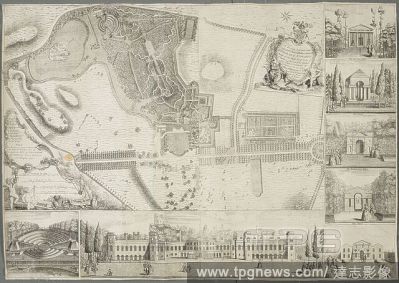
Editorial A plan of the Gardens and Park at Claremont. Plan of the Gardens and Park at Claremont, one of the Seats of the Duke of Newcastle, by J. Rocque; with Views. 1738. Source: Maps K.Top.40.19.a. Language: English.
- 2022-01-18
- 1
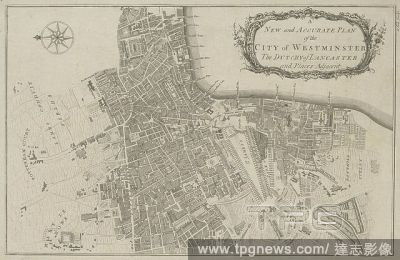
Editorial A plan of the City of Westminster. In this plan, Tottenham Court and Marylebone are mostly fields but Westminster has grown sufficiently to demand the construction of a new bridge. . A new and accurate plan of the city of Westminster the dutchy of Lanc...
- 2022-01-18
- 1
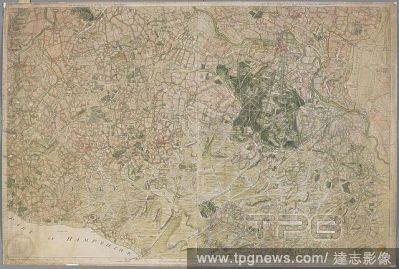
Editorial The first and second sheets of Rocque's Survey of Berkshire, containing Windsor Forest. THE FIRST SHEET OF AN ACTUAL SURVEY OF BERKSHIRE. [London] : Publish'd according to Act od Parliament by I. Rocque in the Strand 1752, [1752.]. Source: Maps K.Top.7...
- 2022-01-18
- 1

Editorial A plan of the House, Gardens, Park and Plantations of Wanstead. A Plan of the House, Gardens, Park, and Plantations of Wanstead. 1735. Source: Maps K.Top.13.30.a.11 TAB. Language: English.
- 2022-01-18
- 1
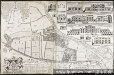
Editorial A plan of the house and gardens at Richmond. A Plan of the House, Gardens ... of their Majesties at Richmond; with Views. 1734. Source: Maps K.Top.41.16.f. Language: English.
- 2022-01-18
- 1
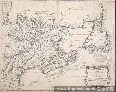
Editorial A map of eastern Canada and part of North America extending from Newfoundland inland to the borders of Lake Ontario and southwards to Cape Cod. PARTIE ORIENTALE DE LA NOUVELLE FRANCE OU DU CANADA. Paris ; Nuremberg ; Londres [London] : chez R.J. Julien...
- 2022-01-18
- 1

Editorial A map of London and the surrounding area (10 miles). An exact Survey of the City's of London Westminster, ye Borough of Southwark and the country near ten miles round; begun in 1741 and ended in 1745, by J. Rocque; and engrav'd by R. Parr, 1746. Scale ...
- 2022-01-18
- 1
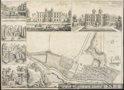
Editorial A Plan of the Gardens and View of the Buildings of the Rt. Hon. Henry Pelham a? Echa (Esher). A Plan of the Gardens and View of the Buildings of the Rt. Hon. Henry Pelham a? Echa. [London], 1737. Source: Maps K.Top.40.22.a. Language: English and French.
- 2022-01-18
- 1

Editorial A plan of the Royal Palace and Gardens of Kensington. Plan of the Royal Palace and Gardens of Kensington. 1736. Source: Maps K.Top.28.10.a. Language: English.
- 2022-01-18
- 1
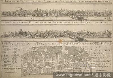
Editorial A plan below two etched views after Hollar: 'A Prospect of the City of London from St. Marie Overs Steeple in Southwark in its flourishing condition before the Fire' and 'Another Prospect of the above City taken from the same Place as it Appeared after...
- 2022-01-18
- 1
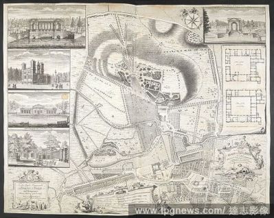
Editorial An exact Plan of the gardens and park at Wilton, the seat of Henry Earl of Pembroke... . [London], 1746. Source: Maps K.Top.43.41.a.3. Language: English.
- 2022-01-18
- 1
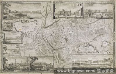
Editorial A Plan of the City of Exeter, with nine views of the principal buildings in the margin. 1744. Source: Maps K.Top.11 68.2.TAB. Language: English.
- 2022-01-18
- 1
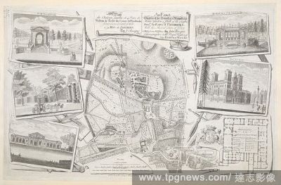
Editorial An Exact Survey of the Beautiful and Magnificent House Garden and Park of the Right Honourable the Earl of Pembroke. Plan du Cha?teau, Jardin et Parc de Wilton... 1754. Source: Maps K.Top.43.41.b. Language: French and English.
- 2022-01-18
- 1
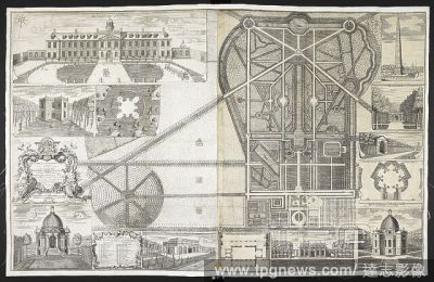
Editorial A plan and view of the buildings and garden at Wrest, Bedfordshire. A Plan and View of the Buildings and Garden at Rest ... the Seat of the Duke of Kent. 1735. Source: Maps K.Top.7.11.a. Language: English.
- 2022-01-18
- 1
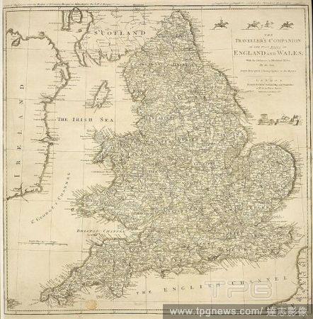
Editorial A map of England and Wales . The Traveller's Companion, or the Post Roads of England and Wales, with the distances in measured miles, by the late John Rocque. London : Sayer, 1771. Source: Maps K.Top.5.88. Language: English.
- 2022-01-18
- 1

Editorial Claremont House. The park and historic house in Sussex, ground plan from the 18th century. . Plan of the Gardens and Park at Claremont, one of the Seats of the Duke of Newcastle, by J. Rocque; with Views. England. Published in 1738. Source: Maps K.Top....
- 2022-01-18
- 1
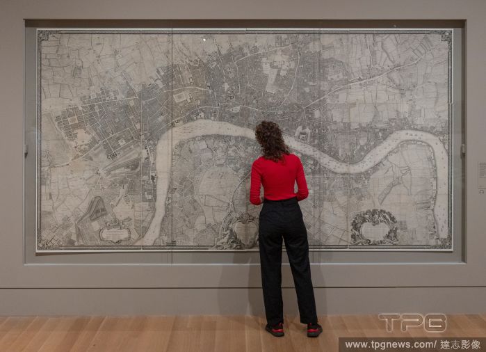
Editorial Hogarth & Europe exhibition at Tate Britain, London, UK - 01 Nov 2021
- 2021-11-02
- 2
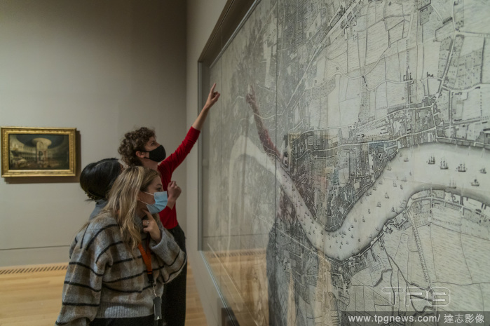
Editorial Hogarth & Europe at Tate Britain., Tate Britain, London, UK - 01 Nov 2021
- 2021-11-02
- 6
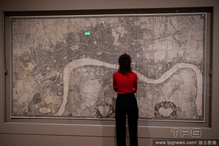
Editorial Hogarth And Europe Exhibition Preview - TATE Britain, London
- 2021-11-01
- 3
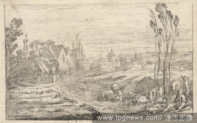
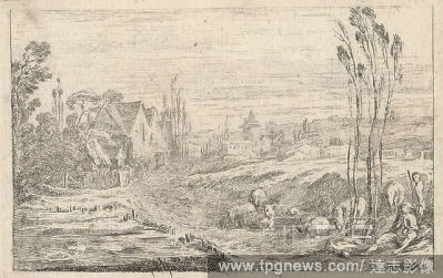
Editorial Shepherd and Flock Outside a Village, Print made by Jean B. C. Chatelain, 17101771, French, Published by John Rocque, 1704?1762, French, active in Britain, 1737, Etching on moderately thick, slightly textured, beige laid paper, Plate: 5 11/16 x 8 11/16...
- 2021-02-21
- 1

Editorial Men Fishing, Print made by Jean B. C. Chatelain, 17101771, French, Published by John Rocque, 1704?1762, French, active in Britain, 1737, Etching on moderately thick, slightly textured, beige laid paper, Sheet: 5 13/16 x 8 3/4 inches (14.7 x 22.3 cm), P...
- 2021-02-21
- 1
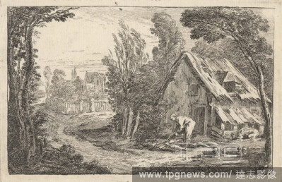
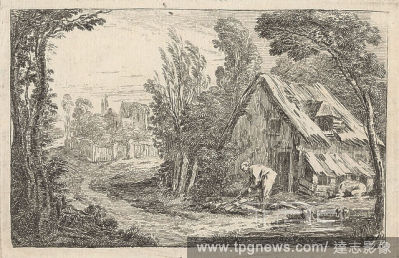
Editorial Man Chopping Wood, Print made by Jean B. C. Chatelain, 17101771, French, Published by John Rocque, 1704?1762, French, active in Britain, 1737, Etching on moderately thick, slightly textured, beige laid paper, Sheet: 5 9/16 x 8 3/4 inches (14.1 x 22.3 c...
- 2021-02-21
- 1
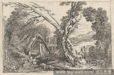
Editorial Man and Woman Digging, Print made by Jean B. C. Chatelain, 17101771, French, Published by John Rocque, 1704?1762, French, active in Britain, 1737, Etching on moderately thick, slightly textured, beige laid paper, Sheet: 5 13/16 x 8 11/16 inches (14.7 x...
- 2021-02-21
- 1
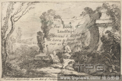
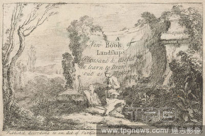
Editorial A New Book of Landskips, Pleasant & Useful for to Learn to Draw without a Master, Print made by Jean B. C. Chatelain, 17101771, French, Published by John Rocque, 1704?1762, French, active in Britain, 1737, Etching on moderately thick, slightly textured...
- 2021-02-21
- 1

Editorial An Exact Survey of the Beautiful House, Garden and Park of the Earl of Pembroke, J. Bennet, active 17541765, after John Rocque, 1704?1762, French, active in Britain, 1754, Engraving, Sheet: 13 3/4 x 21 1/2in. (34.9 x 54.6cm).
- 2021-02-21
- 1
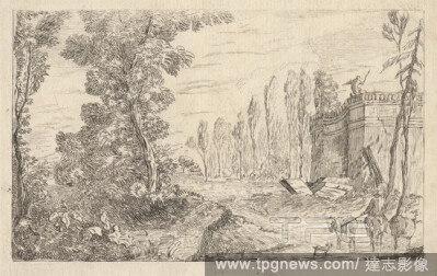
Editorial Horseman Fording a Stream with Cattle, Print made by Jean B. C. Chatelain, 17101771, French, Published by John Rocque, 1704?1762, French, active in Britain, 1737, Etching on moderately thick, slightly textured, beige laid paper, Sheet: 5 13/16 x 8 13/1...
- 2021-02-21
- 1
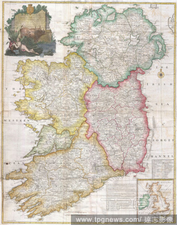
Editorial 1794, Rocque Wall Map of Ireland.
- 2019-01-23
- 1
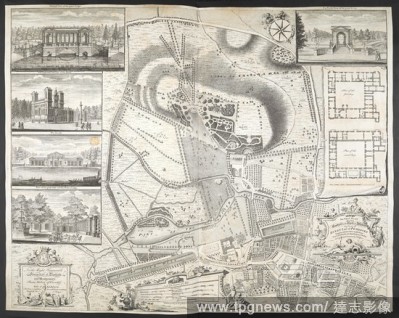
Editorial An exact Plan of the gardens and park at Wilton, the seat of Henry Earl of Pembroke... . [London], 1746. Source: Maps K.Top.43.41.a.3. Language: English.
- 2018-12-06
- 1

Editorial A Plan of the City of Exeter, with nine views of the principal buildings in the margin. 1744. Source: Maps K.Top.11 68.2.TAB. Language: English.
- 2018-12-06
- 1

Editorial An Exact Survey of the Beautiful and Magnificent House Garden and Park of the Right Honourable the Earl of Pembroke. Plan du Cha?teau, Jardin et Parc de Wilton... 1754. Source: Maps K.Top.43.41.b. Language: French and English.
- 2018-12-06
- 1
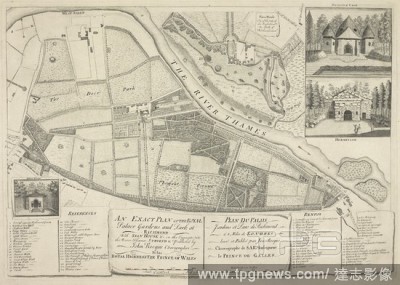
Editorial A plan of the Royal Palace Gardens and Park at Richmond, with Sion House on the opposite side of the River Thames. An exact Plan of the Royal Palace, Gardens, ... at Richmond, with Sion House ... on the opposite side of the River Thames. Source: Maps K...
- 2018-12-06
- 2
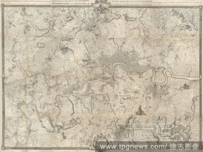
Editorial Rocque map of London and Westminster. An exact survey of London Westminster Southwark country ten miles around begun in 1741 & ended in 1745 by John Roque ...engraved by Richard Parr. Source: Maps.Crace.19.18,. Language: English.
- 2018-12-06
- 1
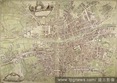
Editorial A map of Dublin. An exact Survey of the City and Suburbs of Dublin ... by Johyn Rocque ... A. Dury Sculpt. [Dublin] : J. Rocque, 1756. Source: Maps K.Top.53.13.a.11 Tab. End. Language: English.
- 2018-12-06
- 1
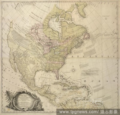
Editorial A map of North America. A GENERAL MAP OF NORTH AMERICA; In which is Express'd The several New Roads, Forts, Engagements, &c, taken from Actual Surveys and Observations Made in the Army employ'd there, From the Years 1754, to 1761: drawn by the late JOH...
- 2018-12-06
- 1

Editorial A plan of the cities of London and Westminster. A scale of 26 inches to the mile. A plan of the cities of London and Westminster, the borough of Southwark, and the contiguous buildings: Westminster bridge. 1745. Source: Maps.Crace.3.107. Language: English.
- 2018-12-06
- 1

Editorial A plan of the Gardens and Park at Claremont. Plan of the Gardens and Park at Claremont, one of the Seats of the Duke of Newcastle, by J. Rocque; with Views. 1738. Source: Maps K.Top.40.19.a. Language: English.
- 2018-12-06
- 1

Editorial A plan of the City of Westminster. In this plan, Tottenham Court and Marylebone are mostly fields but Westminster has grown sufficiently to demand the construction of a new bridge. . A new and accurate plan of the city of Westminster the dutchy of Lanc...
- 2018-12-06
- 1
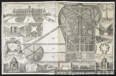
Editorial A plan and view of the buildings and garden at Wrest, Bedfordshire. A Plan and View of the Buildings and Garden at Rest ... the Seat of the Duke of Kent. 1735. Source: Maps K.Top.7.11.a. Language: English.
- 2018-12-06
- 1
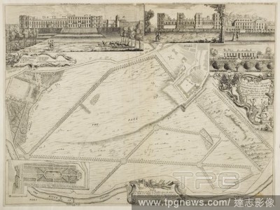
Editorial Plan of Windsor Park by J. Rocque. Plan of Windsor Park. London. Windsor, Berkshire, 1738. Source: Maps K.Top.7.39-a. Language: English.
- 2018-12-06
- 1
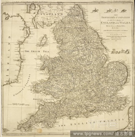
Editorial A map of England and Wales . The Traveller's Companion, or the Post Roads of England and Wales, with the distances in measured miles, by the late John Rocque. London : Sayer, 1771. Source: Maps K.Top.5.88. Language: English.
- 2018-12-06
- 1
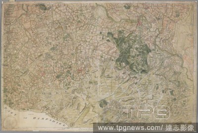
Editorial The first and second sheets of Rocque's Survey of Berkshire, containing Windsor Forest. THE FIRST SHEET OF AN ACTUAL SURVEY OF BERKSHIRE. [London] : Publish'd according to Act od Parliament by I. Rocque in the Strand 1752, [1752.]. Source: Maps K.Top.7...
- 2018-12-06
- 1
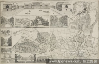
Editorial A plan of the House, Gardens, Park and Plantations of Wanstead. A Plan of the House, Gardens, Park, and Plantations of Wanstead. 1735. Source: Maps K.Top.13.30.a.11 TAB. Language: English.
- 2018-12-06
- 1
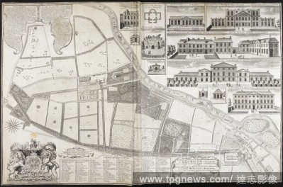
Editorial A plan of the house and gardens at Richmond. A Plan of the House, Gardens ... of their Majesties at Richmond; with Views. 1734. Source: Maps K.Top.41.16.f. Language: English.
- 2018-12-06
- 1
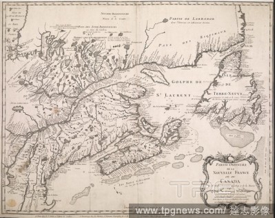
Editorial A map of eastern Canada and part of North America extending from Newfoundland inland to the borders of Lake Ontario and southwards to Cape Cod. PARTIE ORIENTALE DE LA NOUVELLE FRANCE OU DU CANADA. Paris ; Nuremberg ; Londres [London] : chez R.J. Julien...
- 2018-12-06
- 1
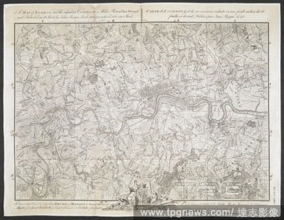
Editorial A map of London and the surrounding area (10 miles). An exact Survey of the City's of London Westminster, ye Borough of Southwark and the country near ten miles round; begun in 1741 and ended in 1745, by J. Rocque; and engrav'd by R. Parr, 1746. Scale ...
- 2018-12-06
- 1
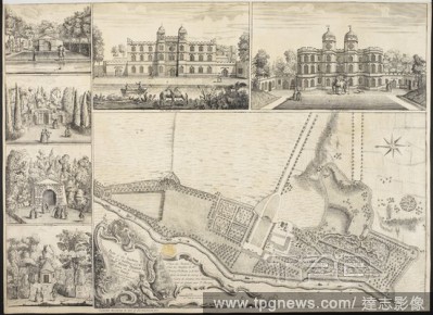
Editorial A Plan of the Gardens and View of the Buildings of the Rt. Hon. Henry Pelham a? Echa (Esher). A Plan of the Gardens and View of the Buildings of the Rt. Hon. Henry Pelham a? Echa. [London], 1737. Source: Maps K.Top.40.22.a. Language: English and French.
- 2018-12-06
- 1

Editorial A plan of the Royal Palace and Gardens of Kensington. Plan of the Royal Palace and Gardens of Kensington. 1736. Source: Maps K.Top.28.10.a. Language: English.
- 2018-12-06
- 1
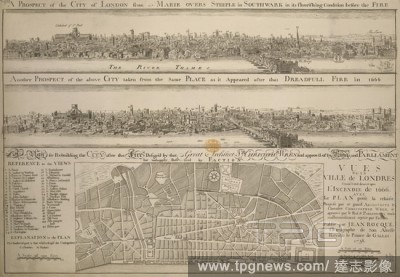
Editorial A plan below two etched views after Hollar: 'A Prospect of the City of London from St. Marie Overs Steeple in Southwark in its flourishing condition before the Fire' and 'Another Prospect of the above City taken from the same Place as it Appeared after...
- 2018-12-06
- 1
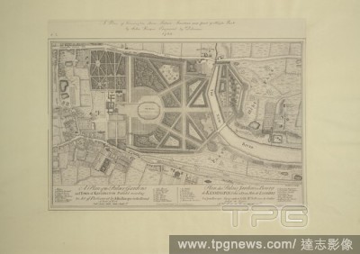
Editorial A plan of Kensington Town Palace, Gardens and part of Hyde Park. 1754. Source: Maps.Crace.10.2. Language: English.
- 2018-12-06
- 1
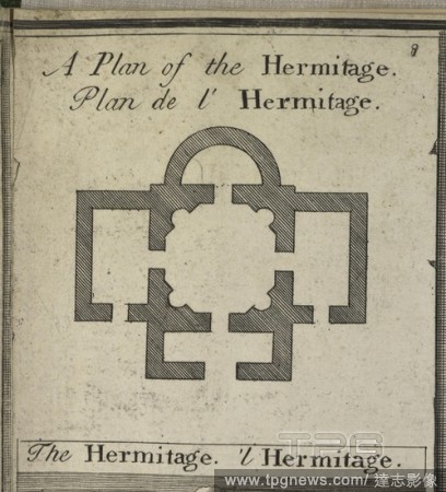
Editorial Plan of the hermitage at Richmond in the gardens of royal Richmond Palace in London. A Plan of the House, Gardens ... of their Majesties at Richmond; with Views: by J. Rocque. 1734. Source: Map.K.Top.41.16.f. Language: English and French.
- 2018-12-06
- 1

Editorial Claremont House. The park and historic house in Sussex, ground plan from the 18th century. . Plan of the Gardens and Park at Claremont, one of the Seats of the Duke of Newcastle, by J. Rocque; with Views. England. Published in 1738. Source: Maps K.Top....
- 2018-12-06
- 1
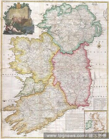
Editorial 1794, Rocque Wall Map of Ireland.
- 2018-08-06
- 1

Editorial SAMANTHA (1992), directed by STEVEN LA ROCQUE. JOANNE WOODWARD; PAUL NEWMAN.
- 2018-07-09
- 1
 Loading