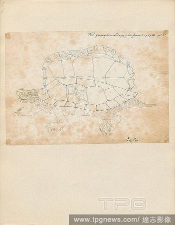
EditorialTestudo geographica, Print, The northern map turtle (Graptemys geographica), or common map turtle, is an aquatic turtle in the family Emydidae. It is endemic to North America., 1700-1880.
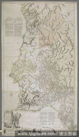
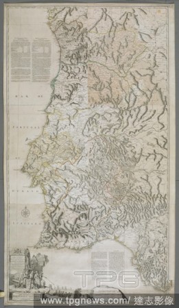
EditorialA map or chart of the Algarve and the Kingdom of Portugal. MAPPA ou CARTA GEOGRAPHICA DOS REINOS DE PORTUGALE ALGARVE. London : [Thomas Jefferys], 1762. Source: Maps K.Top.74.60.2.TAB. Language: Portuguese.
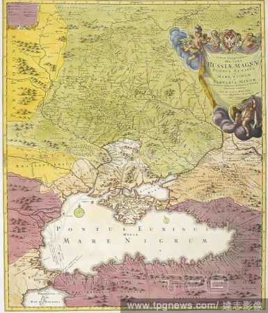
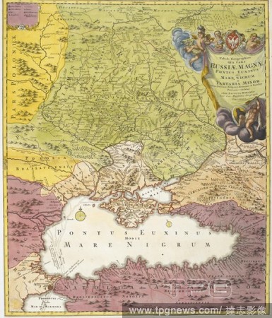
EditorialA map dated 1720, drawn between the years of 'The Great Northern War' (1700–1721), before Peter I created the Russian empire. Indicated on the map in bold lettering are the names: Russiae Minoris (Ukraine); Russiae Maximae (Russia); Poloniae; Podolia...
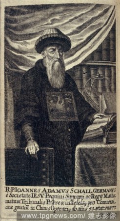
EditorialJohann Adam Von Schall. Historica Relatio de ortu et progressu Fidei Ortho. A. Hanckwitz: Ratisbon, 1672. A portrait of Johann Adam Von Schall (1591 - 1669). German missionary, in China, and astronomer. Image taken from Historica Relatio de ortu et pr...
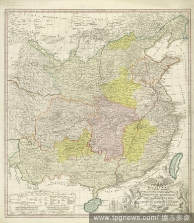
EditorialMap of China, Regni Sinae vel Sinae propriae Mappa et descriptio geographica (title on object), parts differently colored. Bottom right the title surrounded by dragons and plant motifs and some Chinese figures. Below left explanation of the layout of t...
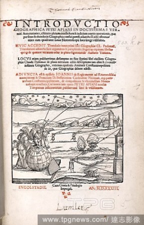
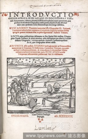
EditorialSurveying. Introductio geographica Petri Apiani in Verneri an. Ingolstadii, 1533. Cross-staff used for computing lunar distance and height of buildings. Image taken from Introductio geographica Petri Apiani in Verneri annotationes Originally publishe...
EditorialSurveying. Introductio geographica Petri Apiani in Verneri an. Ingolstadii, 1533. Cross-staff used for computing lunar distance and height of buildings. Image taken from Introductio geographica Petri Apiani in Verneri annotationes Originally publishe...
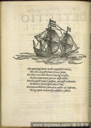
EditorialA ship. Descriptio ac Delineatio Geographica Detectionis F. H. Gerardi, Amsterdami, 1612. Illustration and text. Image taken from Descriptio ac Delineatio Geographica Detectionis Freti, sive transitus ad occasum recens investigati ab H. Hudsono etc. ...
EditorialA map or chart of the Algarve and the Kingdom of Portugal. MAPPA ou CARTA GEOGRAPHICA DOS REINOS DE PORTUGALE ALGARVE. London : [Thomas Jefferys], 1762. Source: Maps K.Top.74.60.2.TAB. Language: Portuguese.
EditorialJohann Adam Von Schall. Historica Relatio de ortu et progressu Fidei Ortho. A. Hanckwitz: Ratisbon, 1672. A portrait of Johann Adam Von Schall (1591 - 1669). German missionary, in China, and astronomer. Image taken from Historica Relatio de ortu et pr...
EditorialA map dated 1720, drawn between the years of 'The Great Northern War' (1700–1721), before Peter I created the Russian empire. Indicated on the map in bold lettering are the names: Russiae Minoris (Ukraine); Russiae Maximae (Russia); Poloniae; Podolia...
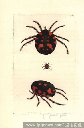
EditorialRed water mite, Hydrachna geographica. Illustration drawn and engraved by Richard Polydore Nodder. Handcoloured copperplate engraving from George Shaw and Frederick Nodder's "The Naturalist's Miscellany," London, 1805.


 Loading