EditorialA plan of the St. Lawrence River from Montreal to Berthier on the North, and to Sorel on the South side of the River. A PLAN of the RIVER ST. LAURENCE from MONTREAL TO BERTHIER ON THE NORTH and to SOREL ON THE SOUTH SIDE OF THE RIVER; being part OF A S...
EditorialPlan of the River Saint Lawrence from Montreal to the Parish of Berthier on the North side of the River, and Sorel on the South. [Halifax?] : by John Montresor Sub. Engineer & Lieut. Samuel Holland Capt. and Asting Engr., [between 1758 and 1763.]. Sour...
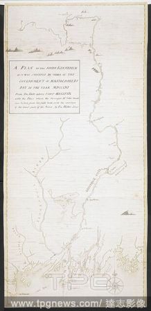
EditorialA plan of the River Kennebeck as it was surveyed by order of the Government of Massachusets Bay in the year MDCCLXI from the falls above Halifax unto the place where the surveyor John Small was killed, from his field book, with the addition of lower pa...
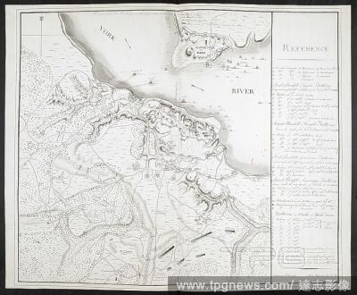
EditorialPlan of Yorktown, showing disposition of American, French and British forces. Drawn by Juliana 12th June 1782 & John Hoyman, Lieut. Inscribed as copy. PLANS of military operations, in North America, etc. 1716-1783. Source: Add. 15535.
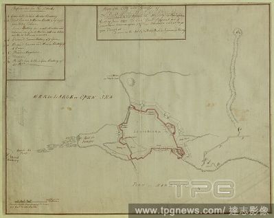
EditorialA plan of the City and Fortress of Louisbourg. Plan of the City and Fortress of LOUISBOURG Surrendered to his Britanick Majesty by Capitulation the 17 June 1745. to Lieut. Genl. Pepperel and Commodore Warren after 55 Days Blockade and 42 days open Tren...
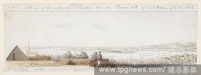
EditorialA view from Boston looking south, with a British soldier holding a bayonet standing by a cannon in a battery on top of Beacon Hill in the foreground. Boston rooftops can be seen beyond the palisade with Castle William on the left, Dorchester Point and ...
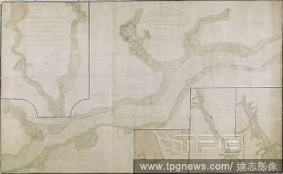
EditorialA plan of part of Canada and the St. Lawrence River which lies between Dechambeaux and Pointe du Lac. The map includes four inset plans; a continuation of the Chaudière River at upper left, two further continuations at lower right, and also an inset p...
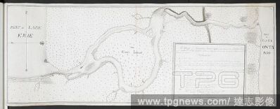
EditorialA map of Niagara River May 1760'. Part of Lake Erie. . 'A map of Niagara River May 1760 Geo. Demler Lieut 60th Regimt'. 1:63360. 'Scale of 8 miles' (= 8 inches). Map oriented with West at top. Amherst no. A 55. R.U.S.I. no. A 27.33A. Laid down in the m...
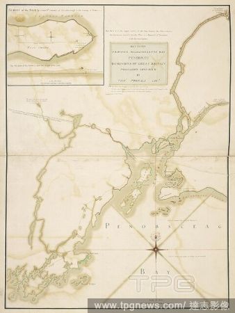
EditorialA plan of Massachusetts Bay and part of the River Penobscot. MAY 23. 1759. PROVINCE MASSACHUSETTS BAY PENOBSCOT DOMINIONS OF GREAT BRITAIN POSSESSION CONFIRM'D BY THOS. POWNALL GOVR. [Place of production not identified] : [by --- Jones, Capt. North, of...
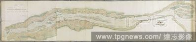
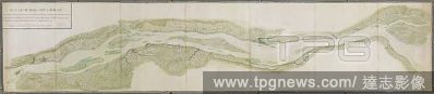
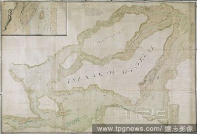
EditorialPlan of that part of Canada and the River St. Lawrence, which lies between the Coteau des Cedres (the uppermost settlements of Canada) and the Island of St. Therese... [Quebec?] : Capt. Holland of the Royal American Regiment ... Lieut. Montresor Engine...
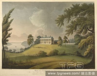
EditorialA view of the Eastern fa?ade of George Washington's two-storey country house with a veranda, colonnade, hipped roof, cupola and dormers built on a mound surrounded by landscaped grounds. Sailing ships can be seen on Potomac River in the background on ...
EditorialA chart of the north west coast of America and the north east coast of Asia. Chart of the N. W. Coast of America and the N. E. Coast of Asia explored in the years 1778 and 1779. Prepared by Lieut. H. Roberts, under the immediate inspection of Capt. Coo...
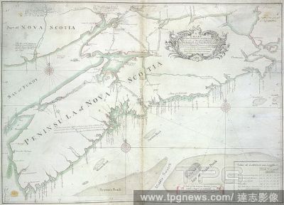
EditorialA chart of the peninsula of Nova Scotia. A CHART OF THE PENINSULA OF NOVA SCOTIA / done by order of His Excellency CHS. LAWRENCE Esqr. Lieut. Govr. & Commr. in Chief of his Majesty's Province of NOVA SCOTIA from many actual Surveys; and the whole corre...
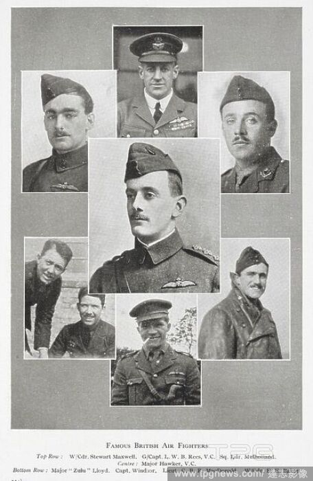
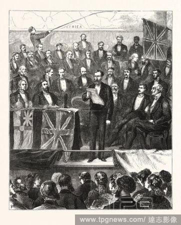
EditorialAFRICAN EXPLORATION : LIEUT. CAMERON READING AN ACCOUNT OF HIS ADVENTURES IN CENTRAL AFRICA BEFORE THE ROYAL GEOGRAPHICAL SOCIETY, AT ST. JAMES'S HALL, ON TUESDAY, APRIL 11TH., LONDON, ENGRAVING 1876, UK, britain, british, europe, united kingdom, great...
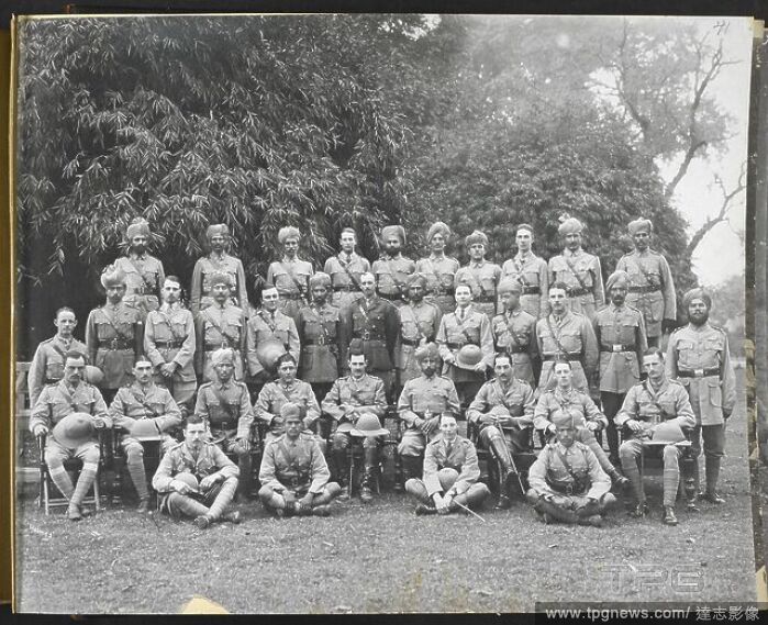
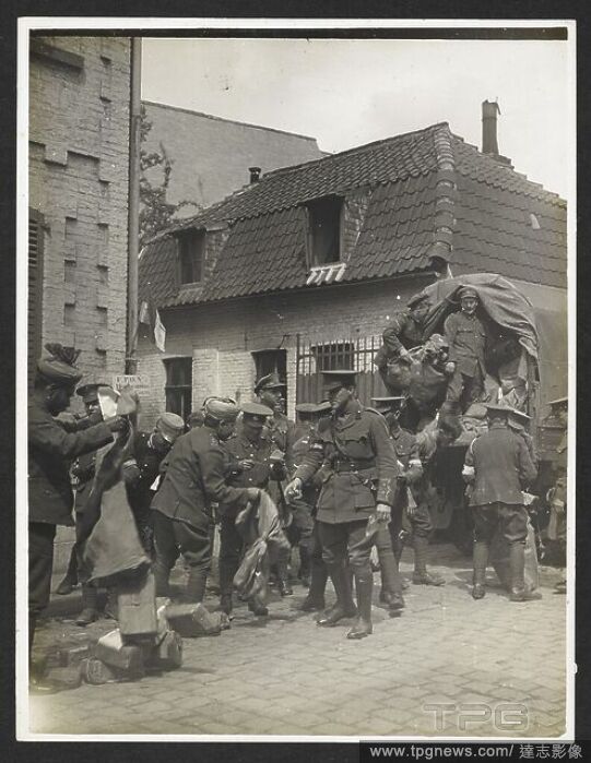
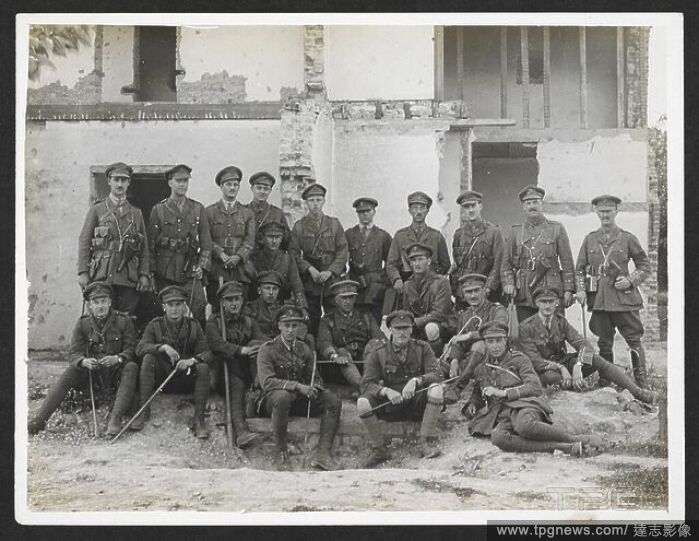
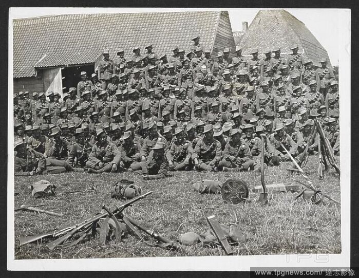
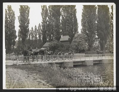
EditorialField Artillery riding over a bridge [St Floris, France]. Men of the 13th Brigade, Royal Field Artillery under the command of Lieut-Col. Tyler, 30th July 1915. Record of the Indian Army in Europe during the First World War. 20th century, 30th July 1915...
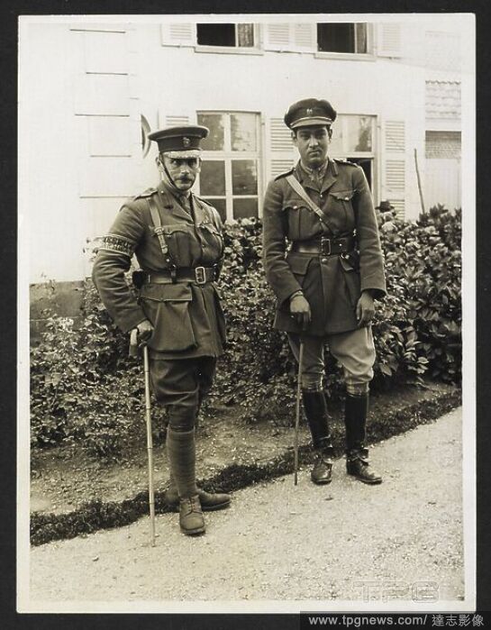
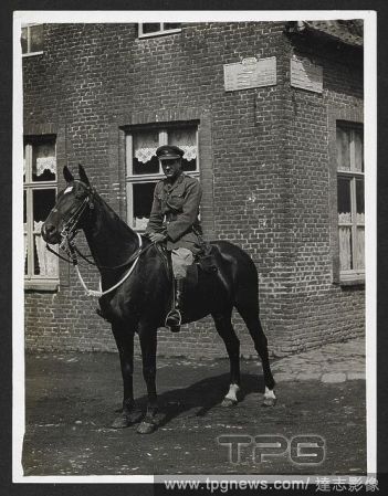
EditorialLieut. Hitendra [Jitendra Narayan Bhup] of Kuch Behar on his horse 'Son of a Gun' [Le Sart, France]. A full-length portrait, in uniform, 24th July 1915. Record of the Indian Army in Europe during the First World War. 20th century, 24th July 1915. Gelat...
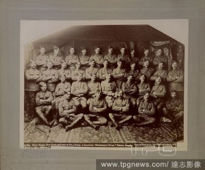
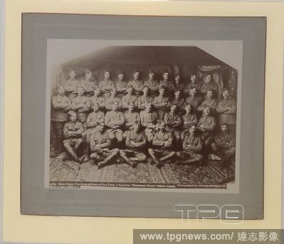
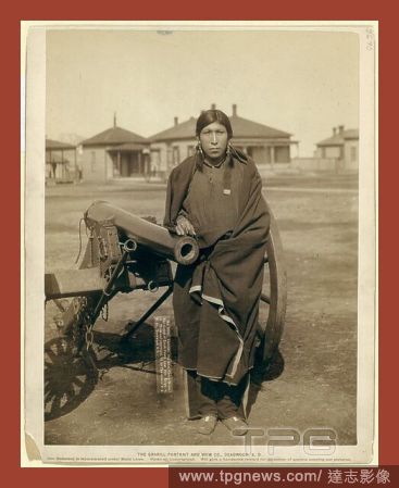
EditorialTasunka, (alias Plenty Horse[s]). The slayer of Lieut. Casey, near Pine Ridge, S.D., John C. H. Grabill was an american photographer. In 1886 he opened his first photographic studio.
EditorialTasunka, Ota (alias Plenty Horse[s]), the slayer of Lieut. Casey, near Pine Ridge, S.D., John C. H. Grabill was an american photographer. In 1886 he opened his first photographic studio.
EditorialTasunka, Ota (alias Plenty Horse[s]), the slayer of Lieut. Casey, near Pine Ridge, S.D., John C. H. Grabill was an american photographer. In 1886 he opened his first photographic studio.


 Loading