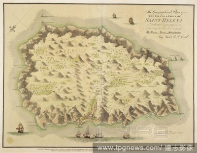
EditorialA plan of the Island & Forts of Saint Helena . This Geographical Plan of the Island & Forts of Saint Helena is dedicated ... to ... the Duke of Kent and Strathearn by Lieut. R.P. Read. London : Burgis & Barfoot, etc., 1815 [1816]. Source: Maps K.Top.11...
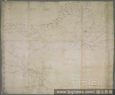
EditorialA map of Strathearn, Stormount and Carse of Gourie, with the country surrounding Stirling . A drawn Map of Strathearn, Stormount, and Carse of Gourie, with the Country about Stirling. [Place of production not identified] : by John Adair, [about 1685.]....

 Loading