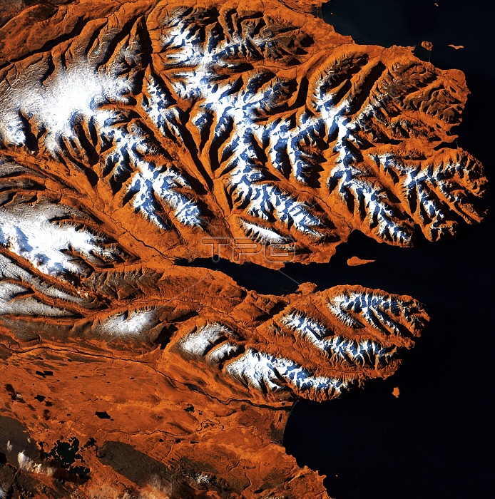
Icelandic fjords, satellite image. This area of Iceland's northern coast is centred on the Eyjafjordur, a deep fjord that juts into the mainland between steep mountains. At its mouth is the small Hrisey Island. The ice-free port city of Akureyri lies near the fjord's narrow tip, and is Iceland's second largest city after the capital Reykjavik. Image data obtained by the Landsat 7 satellite on 21 October 1999.
| px | px | dpi | = | cm | x | cm | = | MB |
Details
Creative#:
TOP19653132
Source:
達志影像
Authorization Type:
RM
Release Information:
須由TPG 完整授權
Model Release:
N/A
Property Release:
N/A
Right to Privacy:
No
Same folder images:

 Loading