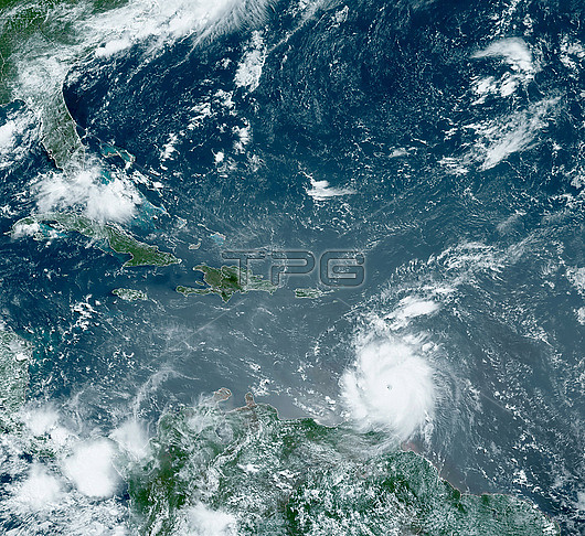
Satellite image of Hurricane Beryl over Grenada in the Caribbean Sea on 1st July 2024. Beryl made landfall on the island of Carriacou, Grenada, on the afternoon of the 1st as a category 4 storm with sustained winds of 240 kilometres per hour. The storm caused extensive damage and five deaths. On the 2nd July Beryl peaked as a category 5 hurricane, the earliest in the Atlantic hurricane season that a hurricane has reached category 5 since records began. Image obtained by the Geostationary Operational Environmental Satellite 16 (GOES-16).
| px | px | dpi | = | cm | x | cm | = | MB |
Details
Creative#:
TOP29874501
Source:
達志影像
Authorization Type:
RM
Release Information:
須由TPG 完整授權
Model Release:
N/A
Property Release:
N/A
Right to Privacy:
No
Same folder images:
Restriction:
This image may not be used to state or imply NOAA endorsement of any company or product

 Loading