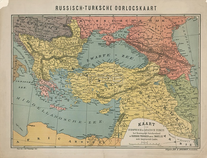
Map of the Russo-Turkish War, 1828, Russo-Turkish War Map / Map of Europeesch and Aziatsch Turkye the Kingdom of Greece the Russian Provinces on the Black Sea and the Adjacent Countries (title on object), Dutch map of Southeastern Europe, the battleground of the Russo-Turkish War, 1828. print maker: Gebroeders Reimeringer, (mentioned on object), publisher: Jan Dirk Brouwer, (mentioned on object), Amsterdam, 1828 - 1829, paper, photolithography, height 460 mm x width 605 mm.
| px | px | dpi | = | cm | x | cm | = | MB |
Details
Creative#:
TOP28937527
Source:
達志影像
Authorization Type:
RM
Release Information:
須由TPG 完整授權
Model Release:
No
Property Release:
No
Right to Privacy:
No
Same folder images:
maprusso-turkishwar1828russo-turkishwarmapmapeuropeeschaziatschturkyekingdomgreecerussianprovincesblackseaadjacentcountriestitleobjectdutchmapsoutheasterneuropebattlegroundrusso-turkishwar1828printmakergebroedersreimeringermentionedobjectpublisherjandirkbrouwermentionedobjectamsterdam18281829paperphotolithographyheight460mmxwidth605mm
4606051828182818281829adjacentamsterdamaziatschbattlegroundblackbrouwercountriesdirkdutcheuropeeuropeeschgebroedersgreeceheightjankingdommakermapmapmapmapmentionedmentionedmmmmobjectobjectobjectpaperphotolithographyprintprovincespublisherreimeringerrussianrusso-turkishrusso-turkishrusso-turkishseasoutheasterntitleturkyewarwarwarwidthx

 Loading