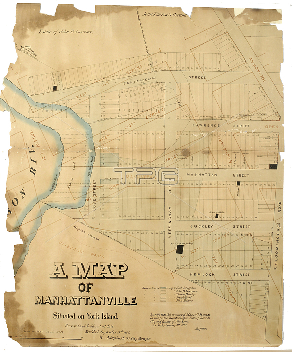
1079249 A Map of Manhattanville situated on York Island/surveyed and laid out into lots by Adolphus Loss, 1806 (Pen-and-ink (black and colour), watercolour on paper; mounted on cloth) by American School, (19th century); 60x72 cm; Collection of the New-York Historical Society, USA; (add.info.: A Map of Manhattanville situated on York Island/ surveyed and laid out into lots by Adolphus Loss: Cadastral map. Covers the area later bounded by 125th and 123nd Streets, Broadway and Riverside Drive, Manhattan, New York (N.Y.). Shows property and lot lines and numbers, some owners? names, existing and proposed streets, some buildings. Also shows low and high tide shorelines. Surveyed September 15, 1806. Includes later annotation in color ink: streets proposed 1811 are shown. Adolphus Loss); 穢 New York Historical Society ; American, out of copyright.
| px | px | dpi | = | cm | x | cm | = | MB |
Details
Creative#:
TOP27348455
Source:
達志影像
Authorization Type:
RM
Release Information:
須由TPG 完整授權
Model Release:
No
Property Release:
No
Right to Privacy:
No
Same folder images:

 Loading