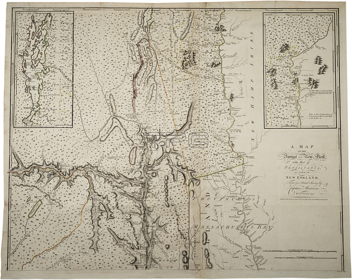
696110 A Map of the Province of New York with part of Pensylvania, and New England, from an actual survey by Captain Montr矇sor, Engineer, 1775, 10 June 1775 (litho) by Montresor, John (1736-99); Gilder Lehrman Collection, New York, USA; (add.info.: Includes insets of Connecticut River area and Lake Champlain area. Shows upper New York, Connecticut, Vermont. Framed to 92.7 x 113 cm. ""P. Andreus, Sculpter"" appears in lower right corner.); 穢 Gilder Lehrman Institute of American History ; English, out of copyright.
| px | px | dpi | = | cm | x | cm | = | MB |
Details
Creative#:
TOP27142551
Source:
達志影像
Authorization Type:
RM
Release Information:
須由TPG 完整授權
Model Release:
No
Property Release:
No
Right to Privacy:
No
Same folder images:
18thcenturyXVIIIthcenturyXVIIIC18theighteenthcenturysecoloXVIII1818thxviiixviiithcentury1818th18th18th18th18thcenturycartographymassachusettsbayconnecticutrivermapssurveyc19thmappingmapthewarforindependencelakechamplainusamericanrevolutionunitedstatesofamericausaEngravingMzengravingmassachusettsbayconnecticutrivermapssurveyc19thmappingmapthewarforindependencelakechamplainc18thusamericanrevolutionunitedstatesofamericausa
181818th18th18th18th18th18th18thC18thEngravingMzengravingXVIIIXVIIIXVIIIthamericaamericaamericanamericanbaybayc18thc19thc19thcartographycenturycenturycenturycenturycenturychamplainchamplainconnecticutconnecticuteighteenthforforindependenceindependencelakelakemapmapmappingmappingmapsmapsmassachusettsmassachusettsofofrevolutionrevolutionriverriversecolostatesstatessurveysurveythetheunitedunitedusususausawarwarxviiixviiith

 Loading