filter
-
Brand
- By Category
- Direction
- Date Range
135Events
Pictures
Events

Editorial 1869, U.S.C.S. Map of the San Francisco Peninsula.
- 2022-01-19
- 1

Editorial 1853, U.S.C.S. Map of San Francisco, California and Vicinity.
- 2022-01-19
- 1

Editorial 1853, U.S.C.S. Map or Chart of Florida.
- 2022-01-19
- 1

Editorial 1865, U.S.C.S. Chart or Map of the Mississippi River around Cairo Illinois.
- 2022-01-19
- 1
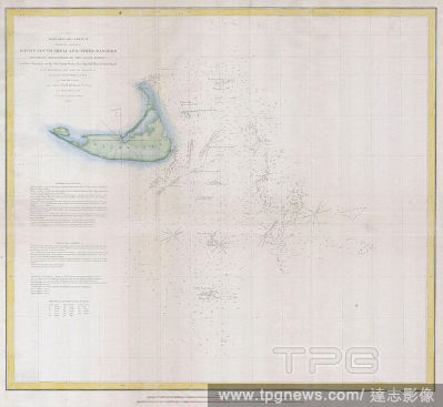
Editorial 1852, U.S.C.S. Map or Chart of Nantucket, Massachusetts.
- 2022-01-19
- 1

Editorial 1853, U.S.C.S. Map of San Diego Bay and Los Coronados.
- 2022-01-19
- 1
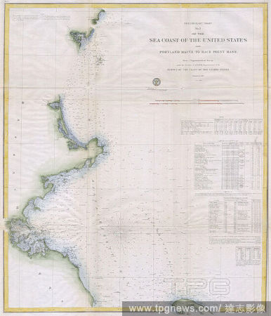
Editorial 1857, U.S.C.S. Map of Boston's North Shore, Cape Ann, Boston, Portsmouth.
- 2022-01-19
- 1
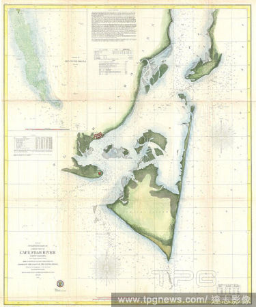
Editorial 1855, U.S.C.S. Map of Cape Fear and Vicinity, North Carolina.
- 2022-01-19
- 1

Editorial 1857, U.S.C.S. Map of Beaufort Harbor, North Carolina.
- 2022-01-19
- 1

Editorial 1853, U.S.C.S. Map of Shoalwater Bay, Washington.
- 2022-01-19
- 1

Editorial 1853, U.S.C.S. Map of Minots Ledge, near Boston Harbor, Cohasset.
- 2022-01-19
- 1

Editorial 1853, U.S.C.S. Map of Cape Fear, North Carolina.
- 2022-01-19
- 1
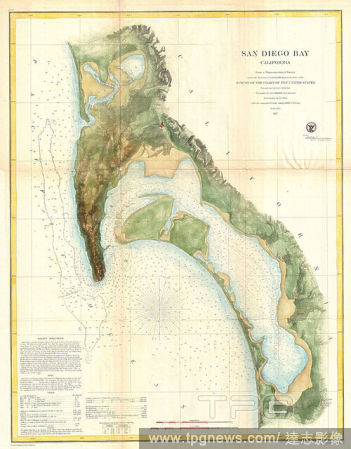
Editorial 1857, U.S.C.S. Map of San Diego Bay, California.
- 2022-01-19
- 1
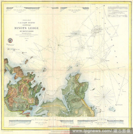
Editorial 1853, U.S.C.S. Map of Minots Ledge, near Boston Harbor, Cohasset.
- 2022-01-19
- 1
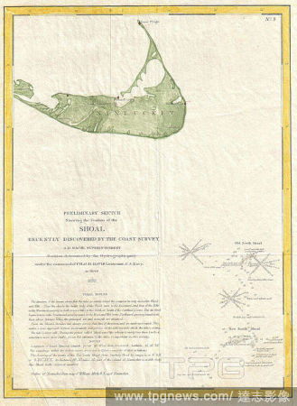
Editorial 1846, U.S. Coast Survey Map of Nantucket, first U.S.C.S. Map of the Davis Shoals.
- 2022-01-19
- 1

Editorial 1853, U.S.C.S. Map of St. John's River, Florida.
- 2022-01-19
- 1
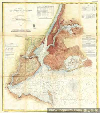
Editorial 1861, U.S.C.S. Map of New York City Bay and Harbor.
- 2022-01-19
- 1

Editorial 1853, U.S.C.S. Map of the North Edisto River, South Carolina.
- 2022-01-18
- 1

Editorial 1865, U.S.C.S. Map of the Mississippi River From Cairo, Illinois to St. Marys, Missouri.
- 2022-01-18
- 1

Editorial 1858, U.S.C.S. Map or Chart of Martha's Vineyard or Muskeget Channel.
- 2022-01-18
- 1

Editorial 1853, U.S.C.S. Map of Timbalier Bay, Louisiana.
- 2022-01-18
- 1
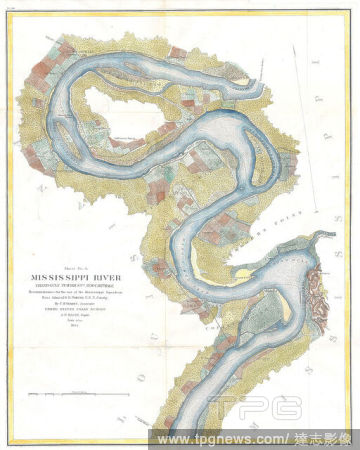
Editorial 1864, U.S.C.S. Chart of the Mississippi River Grand Gulf to New Carthage, Jefferson Davis Plantation.
- 2022-01-18
- 1

Editorial 1855, U.S.C.S. Map of the Western Coast of the United States.
- 2022-01-18
- 1

Editorial 1855, U.S.C.S. Map or Chart of Washington and Oregon.
- 2022-01-18
- 1

Editorial 1865, U.S.C.S. Map of the Mississippi River 78 to 98 miles above Cairo, Illinois.
- 2022-01-18
- 1

Editorial 1853, U.S.C.S. Map or Chart of Northwestern Washington State, Vancouver Island.
- 2022-01-18
- 1

Editorial 1866, U.S.C.S. Map of Cape Fear and Vicinity, North Carolina.
- 2022-01-18
- 1

Editorial 1857, U.S.C.S. Map of San Francisco Bay.
- 2022-01-18
- 1

Editorial 1853, U.S.C.S. Coast Chart or Map of San Luis Pass, Texas.
- 2022-01-18
- 1

Editorial 1857, U.S.C.S. Map of the Louisiana and Mississippi Coast around New Orleans.
- 2022-01-18
- 1

Editorial 1853, U.S.C.S. Map of Sabine Pass, Texas and Louisiana.
- 2022-01-18
- 1

Editorial 1853, U.S.C.S. Chart or Map of Cape Flattery and Nee-AH Harbor, Washington.
- 2022-01-18
- 1

Editorial 1853, U.S.C.S. Map of Horn Island Pass, Mississippi and Louisiana.
- 2022-01-18
- 1
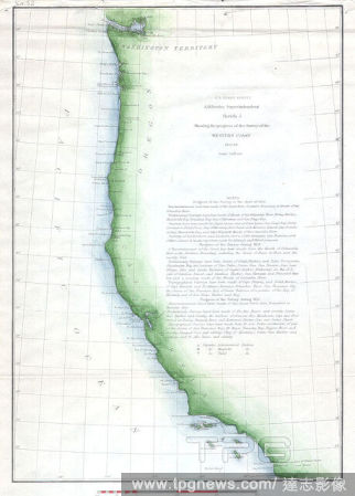
Editorial 1853, U.S.C.S. Map of the Western Coast of the United States.
- 2022-01-18
- 1

Editorial 1874, U.S.C.S. Map or Chart of Lake Champlain, Burlington, VT.
- 2022-01-18
- 1

Editorial 1866, U.S.C.S. Map of Charleston Harbor, South Carolina.
- 2022-01-18
- 1

Editorial 1853, U.S.C.S. Map of Galveston City and Harbor, Texas.
- 2022-01-18
- 1
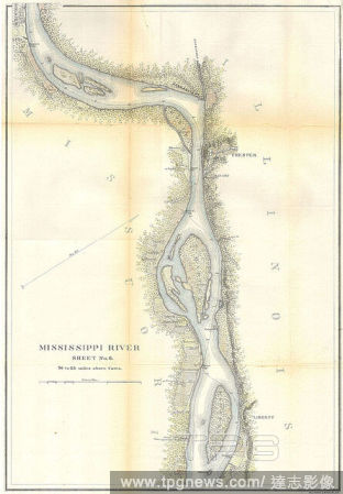
Editorial 1865, U.S.C.S. Map of the Mississippi River around Chester Illinois.
- 2022-01-18
- 1

Editorial 1853, U.S.C.S. Map of the Virginia Coast, Gargathy to Machipongo.
- 2022-01-18
- 1

Editorial 1853, U.S.C.S. Map of Cape Charles and Vicinity, Virginia.
- 2022-01-18
- 1

Editorial 1866, U.S.C.S. Map of Cape Fear and Vicinity, North Carolina.
- 2022-01-18
- 1

Editorial 1857, U.S.C.S. Map or Chart of Penascola Bay and Harbor, Florida.
- 2022-01-18
- 1

Editorial 1857, U.S.C.S. Map of Provincetown Harbor, Cape Cod, Massachusetts.
- 2022-01-18
- 1

Editorial 1857, U.S.C.S. Map of Cape Fear, North Carolina.
- 2022-01-18
- 1
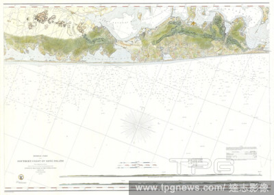
Editorial 1856, U.S.C.S. Map of Suffolk County, Southern Long Island, New York.
- 2020-12-02
- 1

Editorial 1869, U.S.C.S. Map of the San Francisco Peninsula.
- 2019-01-23
- 1

Editorial 1853, U.S.C.S. Map of San Francisco, California and Vicinity.
- 2019-01-23
- 1
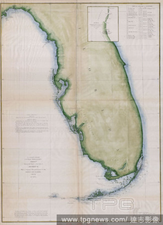
Editorial 1853, U.S.C.S. Map or Chart of Florida.
- 2019-01-23
- 1
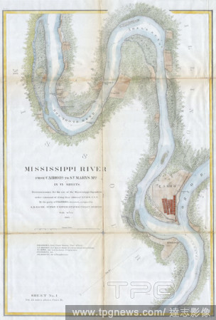
Editorial 1865, U.S.C.S. Chart or Map of the Mississippi River around Cairo Illinois.
- 2019-01-23
- 1

Editorial 1852, U.S.C.S. Map or Chart of Nantucket, Massachusetts.
- 2019-01-23
- 1
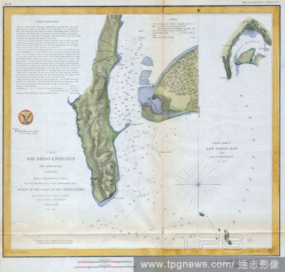
Editorial 1853, U.S.C.S. Map of San Diego Bay and Los Coronados.
- 2019-01-23
- 1
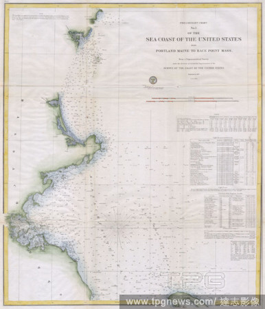
Editorial 1857, U.S.C.S. Map of Boston's North Shore, Cape Ann, Boston, Portsmouth.
- 2019-01-23
- 1
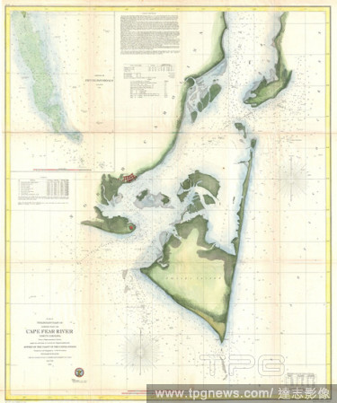
Editorial 1855, U.S.C.S. Map of Cape Fear and Vicinity, North Carolina.
- 2019-01-23
- 1
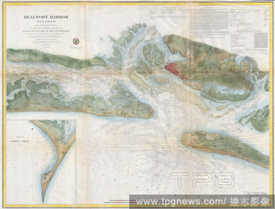
Editorial 1857, U.S.C.S. Map of Beaufort Harbor, North Carolina.
- 2019-01-23
- 1

Editorial 1853, U.S.C.S. Map of Shoalwater Bay, Washington.
- 2019-01-23
- 1

Editorial 1853, U.S.C.S. Map of Minots Ledge, near Boston Harbor, Cohasset.
- 2019-01-23
- 1
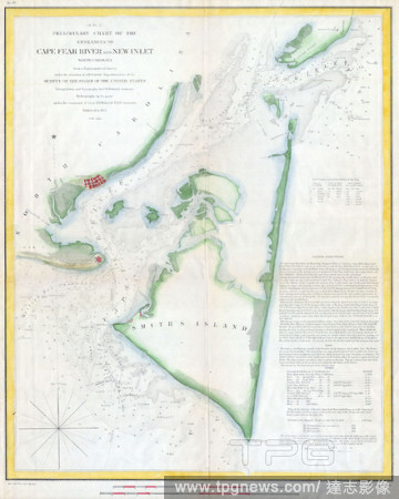
Editorial 1853, U.S.C.S. Map of Cape Fear, North Carolina.
- 2019-01-23
- 1

Editorial 1857, U.S.C.S. Map of San Diego Bay, California.
- 2019-01-23
- 1
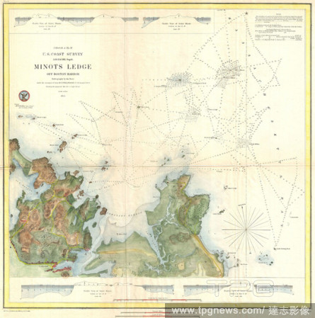
Editorial 1853, U.S.C.S. Map of Minots Ledge, near Boston Harbor, Cohasset.
- 2019-01-23
- 1

Editorial 1846, U.S. Coast Survey Map of Nantucket, first U.S.C.S. Map of the Davis Shoals.
- 2019-01-23
- 1
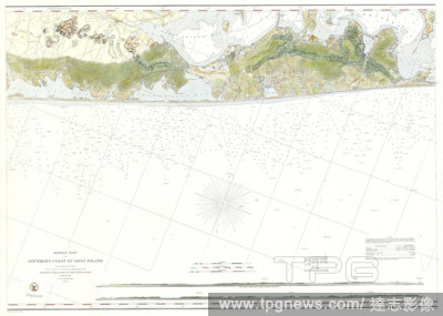
Editorial 1856, U.S.C.S. Map of Suffolk County, Southern Long Island, New York.
- 2019-01-23
- 1
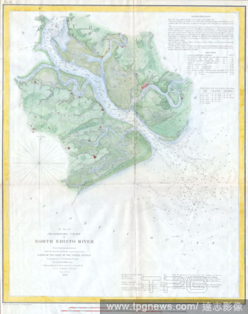
Editorial 1853, U.S.C.S. Map of the North Edisto River, South Carolina.
- 2019-01-23
- 1
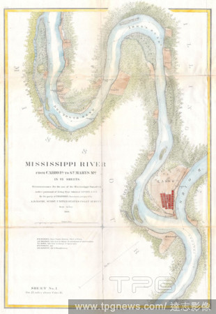
Editorial 1865, U.S.C.S. Map of the Mississippi River From Cairo, Illinois to St. Marys, Missouri.
- 2019-01-23
- 1

Editorial 1858, U.S.C.S. Map or Chart of Martha's Vineyard or Muskeget Channel.
- 2019-01-23
- 1
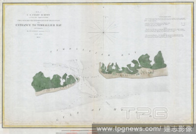
Editorial 1853, U.S.C.S. Map of Timbalier Bay, Louisiana.
- 2019-01-23
- 1

Editorial 1864, U.S.C.S. Chart of the Mississippi River Grand Gulf to New Carthage, Jefferson Davis Plantation.
- 2019-01-23
- 1

Editorial 1855, U.S.C.S. Map of the Western Coast of the United States.
- 2019-01-23
- 1

Editorial 1855, U.S.C.S. Map or Chart of Washington and Oregon.
- 2019-01-23
- 1
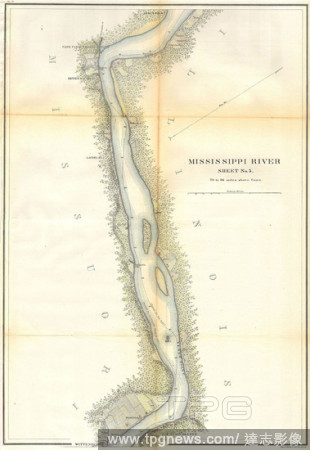
Editorial 1865, U.S.C.S. Map of the Mississippi River 78 to 98 miles above Cairo, Illinois.
- 2019-01-23
- 1

Editorial 1853, U.S.C.S. Map or Chart of Northwestern Washington State, Vancouver Island.
- 2019-01-23
- 1

Editorial 1866, U.S.C.S. Map of Cape Fear and Vicinity, North Carolina.
- 2019-01-23
- 1

Editorial 1857, U.S.C.S. Map of San Francisco Bay.
- 2019-01-23
- 1

Editorial 1853, U.S.C.S. Coast Chart or Map of San Luis Pass, Texas.
- 2019-01-23
- 1
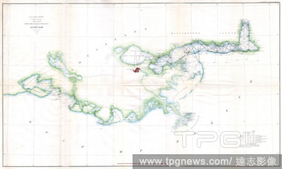
Editorial 1857, U.S.C.S. Map of the Louisiana and Mississippi Coast around New Orleans.
- 2019-01-23
- 1
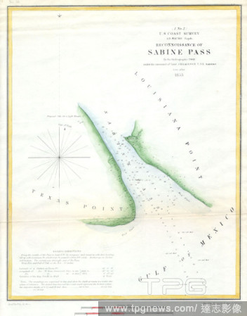
Editorial 1853, U.S.C.S. Map of Sabine Pass, Texas and Louisiana.
- 2019-01-23
- 1

Editorial 1853, U.S.C.S. Chart or Map of Cape Flattery and Nee-AH Harbor, Washington.
- 2019-01-23
- 1
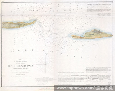
Editorial 1853, U.S.C.S. Map of Horn Island Pass, Mississippi and Louisiana.
- 2019-01-23
- 1
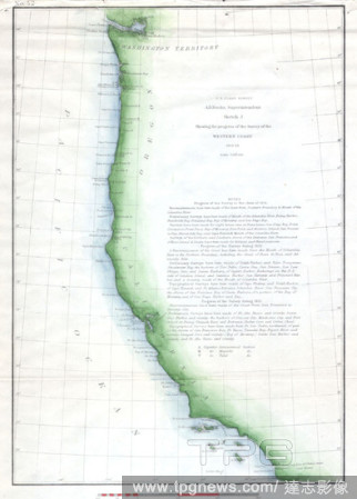
Editorial 1853, U.S.C.S. Map of the Western Coast of the United States.
- 2019-01-23
- 1

Editorial 1874, U.S.C.S. Map or Chart of Lake Champlain, Burlington, VT.
- 2019-01-23
- 1

Editorial 1866, U.S.C.S. Map of Charleston Harbor, South Carolina.
- 2019-01-23
- 1
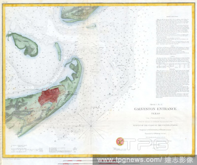
Editorial 1853, U.S.C.S. Map of Galveston City and Harbor, Texas.
- 2019-01-23
- 1
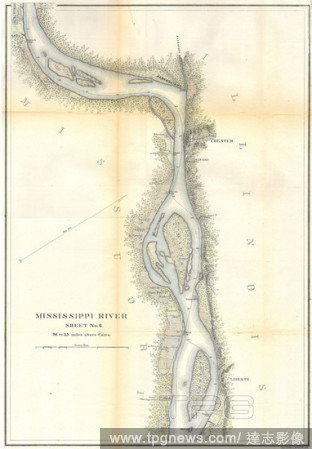
Editorial 1865, U.S.C.S. Map of the Mississippi River around Chester Illinois.
- 2019-01-23
- 1

Editorial 1853, U.S.C.S. Map of the Virginia Coast, Gargathy to Machipongo.
- 2019-01-23
- 1

Editorial 1853, U.S.C.S. Map of Cape Charles and Vicinity, Virginia.
- 2019-01-23
- 1

Editorial 1866, U.S.C.S. Map of Cape Fear and Vicinity, North Carolina.
- 2019-01-23
- 1
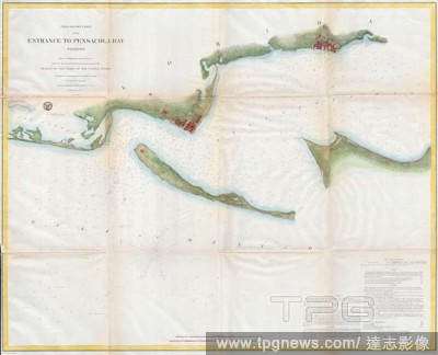
Editorial 1857, U.S.C.S. Map or Chart of Penascola Bay and Harbor, Florida.
- 2019-01-23
- 1

Editorial 1857, U.S.C.S. Map of Provincetown Harbor, Cape Cod, Massachusetts.
- 2019-01-23
- 1

Editorial 1857, U.S.C.S. Map of Cape Fear, North Carolina.
- 2019-01-23
- 1

Editorial 1853, U.S.C.S. Map of St. John's River, Florida.
- 2019-01-23
- 1

Editorial 1861, U.S.C.S. Map of New York City Bay and Harbor.
- 2019-01-23
- 1
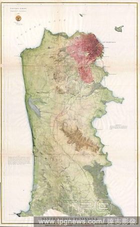
Editorial 1869, U.S.C.S. Map of the San Francisco Peninsula.
- 2018-08-06
- 1
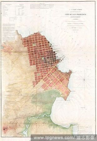
Editorial 1853, U.S.C.S. Map of San Francisco, California and Vicinity.
- 2018-08-06
- 1
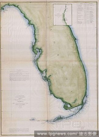
Editorial 1853, U.S.C.S. Map or Chart of Florida.
- 2018-08-06
- 1

Editorial 1865, U.S.C.S. Chart or Map of the Mississippi River around Cairo Illinois.
- 2018-08-06
- 1
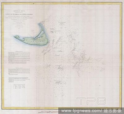
Editorial 1852, U.S.C.S. Map or Chart of Nantucket, Massachusetts.
- 2018-08-06
- 1
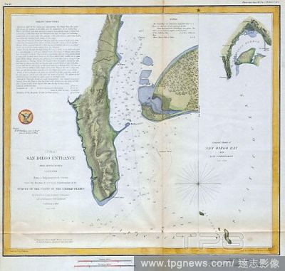
Editorial 1853, U.S.C.S. Map of San Diego Bay and Los Coronados.
- 2018-08-06
- 1

Editorial 1857, U.S.C.S. Map of Boston's North Shore, Cape Ann, Boston, Portsmouth.
- 2018-08-06
- 1

Editorial 1855, U.S.C.S. Map of Cape Fear and Vicinity, North Carolina.
- 2018-08-06
- 1

Editorial 1857, U.S.C.S. Map of Beaufort Harbor, North Carolina.
- 2018-08-06
- 1
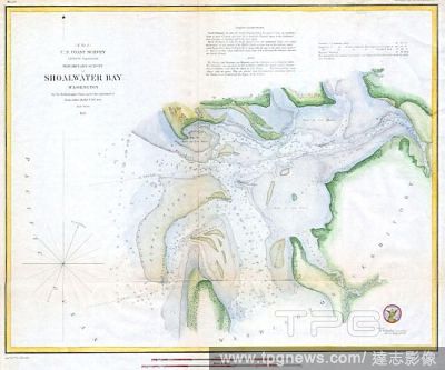
Editorial 1853, U.S.C.S. Map of Shoalwater Bay, Washington.
- 2018-08-06
- 1
 Loading