filter
-
Brand
- By Category
- Direction
- Date Range
140Events
Pictures
Events
Editorial
- 2023-11-01
- 1

Editorial
- 2023-11-01
- 1

Editorial Study for "William Rush Carving His Allegorical Figure of the Schuylkill River". Thomas Eakins; American, 1844-1916. Date: 1876-1877. Dimensions: 35.9 ? 28.6 cm (14 1/8 ? 11 1/4 in.). Oil on canvas mounted on board. Origin: United States.
- 2022-12-25
- 1

Editorial View Near the Schuylkill Falls, Pennsylvania, plate five of the first number of Picturesque Views of American Scenery. John Hill (American, 1770-1850); after Joshua Shaw (American, born England, c. 1777-1860); published by Matthew Carey & Son (Amer...
- 2022-12-25
- 1

Editorial A survey of the city of Philadelphia and its environs. A SURVEY of the CITY of PHILADELPHIA & it's Environs comprehending the Neck formed by the Rivers of Delaware & Schuylkill; together with Province, Carpenters, & Mud Islands, & the several Batteries...
- 2022-12-24
- 1

Editorial View Near the Schuylkill Falls, Pennsylvania, plate five of the first number of Picturesque Views of American Scenery. John Hill (American, 1770-1850); after Joshua Shaw (American, born England, c. 1777-1860); published by Matthew Carey & Son (Amer...
- 2022-04-24
- 1
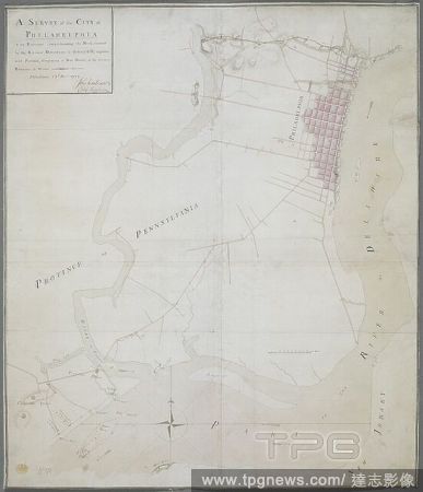
Editorial A survey of the city of Philadelphia and its environs. A SURVEY of the CITY of PHILADELPHIA & it's Environs comprehending the Neck formed by the Rivers of Delaware & Schuylkill; together with Province, Carpenters, & Mud Islands, & the several Batteries...
- 2022-01-18
- 1

Editorial Study for "William Rush Carving His Allegorical Figure of the Schuylkill River". Thomas Eakins; American, 1844-1916. Date: 1876-1877. Dimensions: 35.9 ? 28.6 cm (14 1/8 ? 11 1/4 in.). Oil on canvas mounted on board. Origin: United States.
- 2022-01-18
- 1
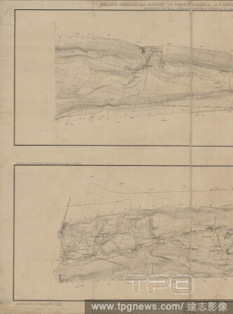
Editorial Topographical map in ten-foot contour curves of the Panther Creek Coal Basin in Carbon and Schuylkill Counties , cartographic, Maps, 1882, Rothwell, Richard P. (Richard Pennefather), 1836-1901, Hill, Frank A., Harden, Oliver B., Moyer, H. I., Lesley, J...
- 2021-04-07
- 1

Editorial Tumbling Run scenery, Schuylkill County., Allen, A. M. (Amos M.) (1823-1907), Pennsylvania.
- 2021-02-22
- 2

Editorial Image 4 of Sanborn Fire Insurance Map from Ashland, Schuylkill County, Pennsylvania. Aug 1885. 4 Sheet(s), America, street map with a Nineteenth Century compass.
- 2021-02-20
- 1

Editorial Image 7 of Sanborn Fire Insurance Map from Pottsville, Schuylkill County, Pennsylvania. May 1891. 24 Sheet(s). Includes Port Carbon, Saint Clair, Cressona, Orwigsburg, Minersville. Bound, America, street map with a Nineteenth Century compass.
- 2021-02-20
- 1
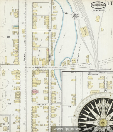
Editorial Image 11 of Sanborn Fire Insurance Map from Mahanoy City, Schuylkill County, Pennsylvania. Jul 1891. 11 Sheet(s). Includes Gilberton, America, street map with a Nineteenth Century compass.
- 2021-02-20
- 1
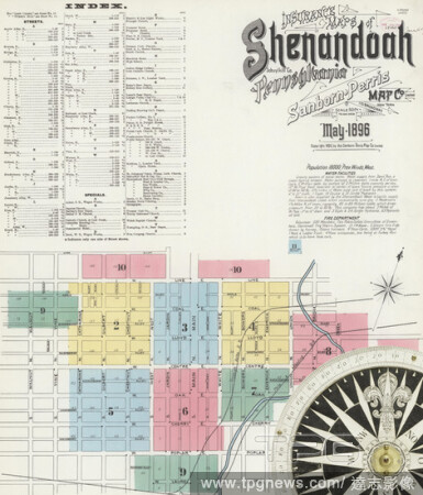
Editorial Image 1 of Sanborn Fire Insurance Map from Shenandoah, Schuylkill County, Pennsylvania. May 1896. 11 Sheet(s), America, street map with a Nineteenth Century compass.
- 2021-02-20
- 1
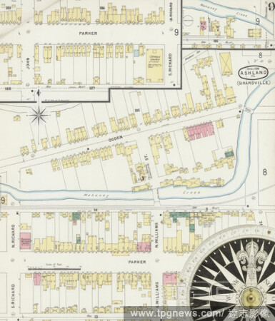
Editorial Image 9 of Sanborn Fire Insurance Map from Ashland, Schuylkill County, Pennsylvania. Apr 1896. 12 Sheet(s). Includes Locust Dale, Girardville, Gordon, Centralia, America, street map with a Nineteenth Century compass.
- 2021-02-20
- 4
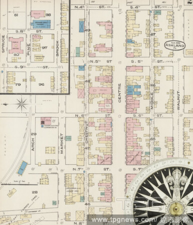
Editorial Image 2 of Sanborn Fire Insurance Map from Ashland, Schuylkill County, Pennsylvania. Aug 1885. 4 Sheet(s), America, street map with a Nineteenth Century compass.
- 2021-02-20
- 2
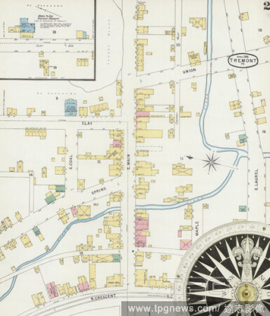
Editorial Image 2 of Sanborn Fire Insurance Map from Tremont, Schuylkill County, Pennsylvania. Apr 1896. 2 Sheet(s), America, street map with a Nineteenth Century compass.
- 2021-02-20
- 3
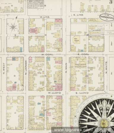
Editorial Image 3 of Sanborn Fire Insurance Map from Shenandoah, Schuylkill County, Pennsylvania. Jan 1885. 9 Sheet(s), America, street map with a Nineteenth Century compass.
- 2021-02-20
- 1
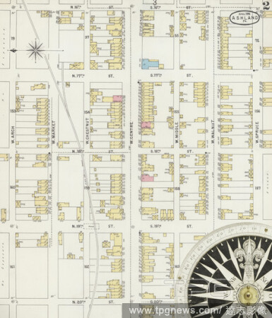
Editorial Image 2 of Sanborn Fire Insurance Map from Ashland, Schuylkill County, Pennsylvania. Apr 1896. 12 Sheet(s). Includes Locust Dale, Girardville, Gordon, Centralia, America, street map with a Nineteenth Century compass.
- 2021-02-20
- 1

Editorial Image 18 of Sanborn Fire Insurance Map from Pottsville, Schuylkill County, Pennsylvania. May 1891. 24 Sheet(s). Includes Port Carbon, Saint Clair, Cressona, Orwigsburg, Minersville. Bound, America, street map with a Nineteenth Century compass.
- 2021-02-20
- 2

Editorial Image 10 of Sanborn Fire Insurance Map from Shenandoah, Schuylkill County, Pennsylvania. Jul 1891. 11 Sheet(s), America, street map with a Nineteenth Century compass.
- 2021-02-20
- 3

Editorial Image 8 of Sanborn Fire Insurance Map from Shenandoah, Schuylkill County, Pennsylvania. Jan 1885. 9 Sheet(s), America, street map with a Nineteenth Century compass.
- 2021-02-20
- 1
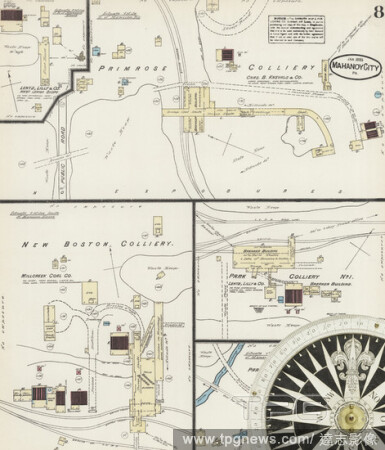
Editorial Image 8 of Sanborn Fire Insurance Map from Mahanoy City, Schuylkill County, Pennsylvania. Jan 1885. 8 Sheet(s), America, street map with a Nineteenth Century compass.
- 2021-02-20
- 2
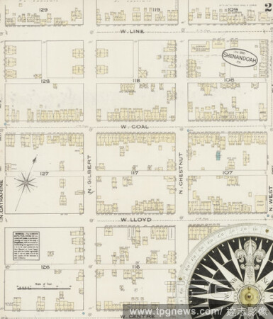
Editorial Image 2 of Sanborn Fire Insurance Map from Shenandoah, Schuylkill County, Pennsylvania. Jan 1885. 9 Sheet(s), America, street map with a Nineteenth Century compass.
- 2021-02-20
- 1
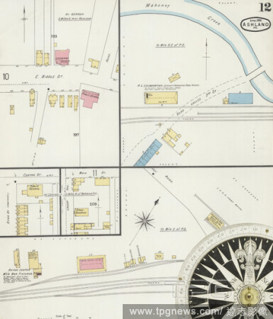
Editorial Image 12 of Sanborn Fire Insurance Map from Ashland, Schuylkill County, Pennsylvania. Apr 1896. 12 Sheet(s). Includes Locust Dale, Girardville, Gordon, Centralia, America, street map with a Nineteenth Century compass.
- 2021-02-20
- 1

Editorial Image 3 of Sanborn Fire Insurance Map from Tamaqua, Schuylkill County, Pennsylvania. Jul 1885. 4 Sheet(s), America, street map with a Nineteenth Century compass.
- 2021-02-20
- 1

Editorial Image 7 of Sanborn Fire Insurance Map from Ashland, Schuylkill County, Pennsylvania. Apr 1896. 12 Sheet(s). Includes Locust Dale, Girardville, Gordon, Centralia, America, street map with a Nineteenth Century compass.
- 2021-02-20
- 2
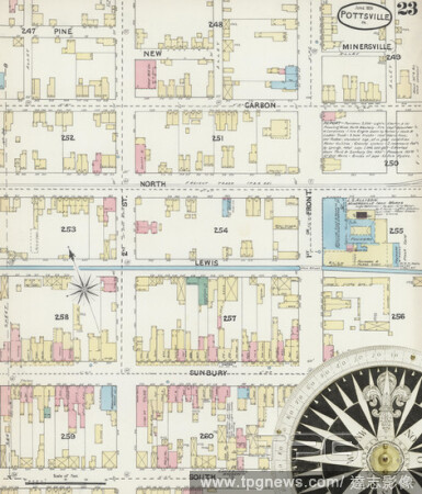
Editorial Image 23 of Sanborn Fire Insurance Map from Pottsville, Schuylkill County, Pennsylvania. May 1891. 24 Sheet(s). Includes Port Carbon, Saint Clair, Cressona, Orwigsburg, Minersville. Bound, America, street map with a Nineteenth Century compass.
- 2021-02-20
- 2

Editorial Image 20 of Sanborn Fire Insurance Map from Pottsville, Schuylkill County, Pennsylvania. May 1891. 24 Sheet(s). Includes Port Carbon, Saint Clair, Cressona, Orwigsburg, Minersville. Bound, America, street map with a Nineteenth Century compass.
- 2021-02-20
- 2

Editorial Image 1 of Sanborn Fire Insurance Map from Pottsville, Schuylkill County, Pennsylvania. May 1891. 24 Sheet(s). Includes Port Carbon, Saint Clair, Cressona, Orwigsburg, Minersville. Bound, America, street map with a Nineteenth Century compass.
- 2021-02-20
- 1
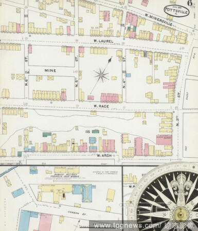
Editorial Image 6 of Sanborn Fire Insurance Map from Pottsville, Schuylkill County, Pennsylvania. May 1891. 24 Sheet(s). Includes Port Carbon, Saint Clair, Cressona, Orwigsburg, Minersville. Bound, America, street map with a Nineteenth Century compass.
- 2021-02-20
- 2

Editorial Image 8 of Sanborn Fire Insurance Map from Shenandoah, Schuylkill County, Pennsylvania. May 1896. 11 Sheet(s), America, street map with a Nineteenth Century compass.
- 2021-02-20
- 1
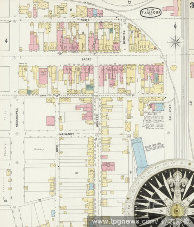
Editorial Image 3 of Sanborn Fire Insurance Map from Tamaqua, Schuylkill County, Pennsylvania. May 1896. 9 Sheet(s), America, street map with a Nineteenth Century compass.
- 2021-02-20
- 1
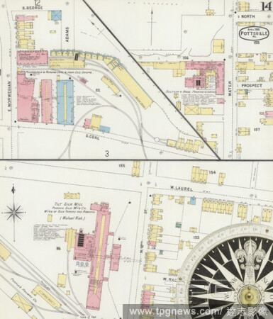
Editorial Image 14 of Sanborn Fire Insurance Map from Pottsville, Schuylkill County, Pennsylvania. Apr 1896. 25 Sheet(s). Includes Port Carbon, Saint Clair, Minersville, Schuylkill Haven, Orwigsburg, Cressona. Bound, America, street map with a Nineteenth Century...
- 2021-02-20
- 1
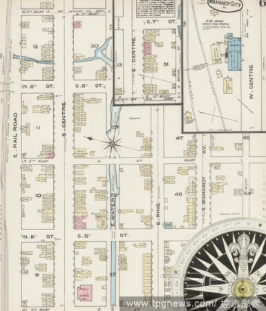
Editorial Image 6 of Sanborn Fire Insurance Map from Mahanoy City, Schuylkill County, Pennsylvania. Jan 1885. 8 Sheet(s), America, street map with a Nineteenth Century compass.
- 2021-02-20
- 2
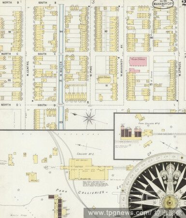
Editorial Image 2 of Sanborn Fire Insurance Map from Mahanoy City, Schuylkill County, Pennsylvania. May 1896. 11 Sheet(s). Includes Gilberton, America, street map with a Nineteenth Century compass.
- 2021-02-20
- 2
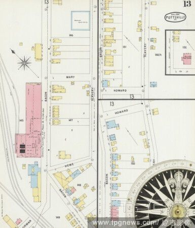
Editorial Image 13 of Sanborn Fire Insurance Map from Pottsville, Schuylkill County, Pennsylvania. Apr 1896. 25 Sheet(s). Includes Port Carbon, Saint Clair, Minersville, Schuylkill Haven, Orwigsburg, Cressona. Bound, America, street map with a Nineteenth Century...
- 2021-02-20
- 2
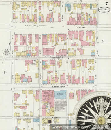
Editorial Image 7 of Sanborn Fire Insurance Map from Pottsville, Schuylkill County, Pennsylvania. Apr 1896. 25 Sheet(s). Includes Port Carbon, Saint Clair, Minersville, Schuylkill Haven, Orwigsburg, Cressona. Bound, America, street map with a Nineteenth Century ...
- 2021-02-20
- 1
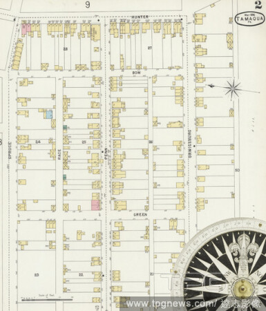
Editorial Image 2 of Sanborn Fire Insurance Map from Tamaqua, Schuylkill County, Pennsylvania. May 1896. 9 Sheet(s), America, street map with a Nineteenth Century compass.
- 2021-02-20
- 1
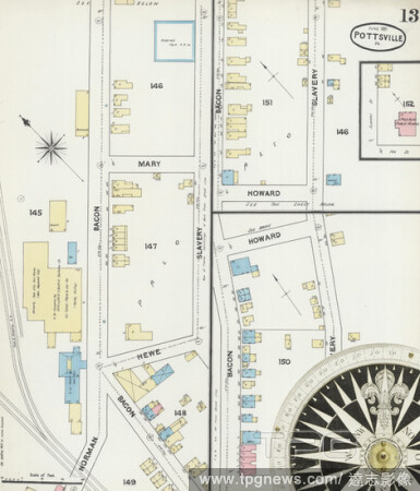
Editorial Image 13 of Sanborn Fire Insurance Map from Pottsville, Schuylkill County, Pennsylvania. May 1891. 24 Sheet(s). Includes Port Carbon, Saint Clair, Cressona, Orwigsburg, Minersville. Bound, America, street map with a Nineteenth Century compass.
- 2021-02-20
- 2
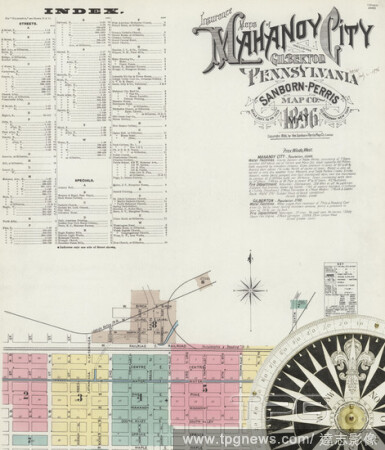
Editorial Image 1 of Sanborn Fire Insurance Map from Mahanoy City, Schuylkill County, Pennsylvania. May 1896. 11 Sheet(s). Includes Gilberton, America, street map with a Nineteenth Century compass.
- 2021-02-20
- 3
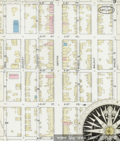
Editorial Image 3 of Sanborn Fire Insurance Map from Ashland, Schuylkill County, Pennsylvania. Aug 1891. 11 Sheet(s). Includes Locust Dale, Girardville, Gordon, Centralia, America, street map with a Nineteenth Century compass.
- 2021-02-20
- 1

Editorial Image 1 of Sanborn Fire Insurance Map from Tamaqua, Schuylkill County, Pennsylvania. Jun 1891. 9 Sheet(s), America, street map with a Nineteenth Century compass.
- 2021-02-20
- 3
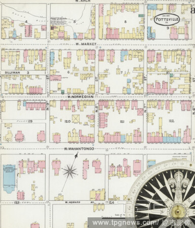
Editorial Image 8 of Sanborn Fire Insurance Map from Pottsville, Schuylkill County, Pennsylvania. May 1891. 24 Sheet(s). Includes Port Carbon, Saint Clair, Cressona, Orwigsburg, Minersville. Bound, America, street map with a Nineteenth Century compass.
- 2021-02-20
- 1

Editorial Image 6 of Sanborn Fire Insurance Map from Pottsville, Schuylkill County, Pennsylvania. Apr 1896. 25 Sheet(s). Includes Port Carbon, Saint Clair, Minersville, Schuylkill Haven, Orwigsburg, Cressona. Bound, America, street map with a Nineteenth Century ...
- 2021-02-20
- 4
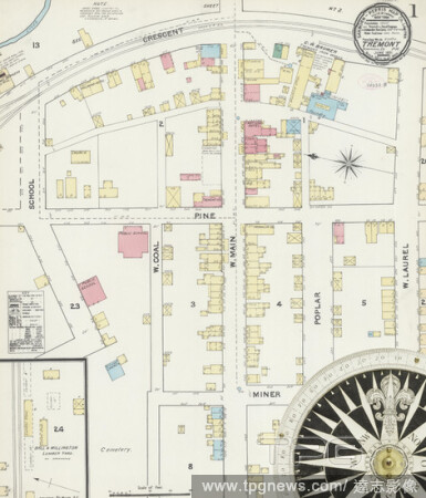
Editorial Image 1 of Sanborn Fire Insurance Map from Tremont, Schuylkill County, Pennsylvania. Jun 1891. 2 Sheet(s), America, street map with a Nineteenth Century compass.
- 2021-02-20
- 1
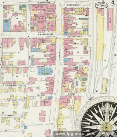
Editorial Image 3 of Sanborn Fire Insurance Map from Pottsville, Schuylkill County, Pennsylvania. Apr 1896. 25 Sheet(s). Includes Port Carbon, Saint Clair, Minersville, Schuylkill Haven, Orwigsburg, Cressona. Bound, America, street map with a Nineteenth Century ...
- 2021-02-20
- 1

Editorial Image 6 of Sanborn Fire Insurance Map from Shenandoah, Schuylkill County, Pennsylvania. Jul 1891. 11 Sheet(s), America, street map with a Nineteenth Century compass.
- 2021-02-20
- 1
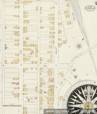
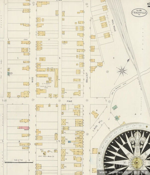
Editorial Image 2 of Sanborn Fire Insurance Map from Frackville, Schuylkill County, Pennsylvania. Oct 1898. 2 Sheet(s), America, street map with a Nineteenth Century compass.
- 2021-02-20
- 1

Editorial Image 11 of Sanborn Fire Insurance Map from Pottsville, Schuylkill County, Pennsylvania. May 1891. 24 Sheet(s). Includes Port Carbon, Saint Clair, Cressona, Orwigsburg, Minersville. Bound, America, street map with a Nineteenth Century compass.
- 2021-02-20
- 2
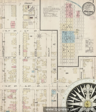
Editorial Image 1 of Sanborn Fire Insurance Map from Ashland, Schuylkill County, Pennsylvania. Aug 1885. 4 Sheet(s), America, street map with a Nineteenth Century compass.
- 2021-02-20
- 1
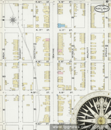
Editorial Image 2 of Sanborn Fire Insurance Map from Ashland, Schuylkill County, Pennsylvania. Aug 1891. 11 Sheet(s). Includes Locust Dale, Girardville, Gordon, Centralia, America, street map with a Nineteenth Century compass.
- 2021-02-20
- 1
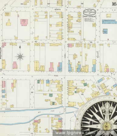
Editorial Image 16 of Sanborn Fire Insurance Map from Pottsville, Schuylkill County, Pennsylvania. Apr 1896. 25 Sheet(s). Includes Port Carbon, Saint Clair, Minersville, Schuylkill Haven, Orwigsburg, Cressona. Bound, America, street map with a Nineteenth Century...
- 2021-02-19
- 1

Editorial Image 2 of Sanborn Fire Insurance Map from Shenandoah, Schuylkill County, Pennsylvania. Jul 1891. 11 Sheet(s), America, street map with a Nineteenth Century compass.
- 2021-02-19
- 2
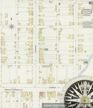
Editorial Image 10 of Sanborn Fire Insurance Map from Ashland, Schuylkill County, Pennsylvania. Apr 1896. 12 Sheet(s). Includes Locust Dale, Girardville, Gordon, Centralia, America, street map with a Nineteenth Century compass.
- 2021-02-19
- 2

Editorial Image 16 of Sanborn Fire Insurance Map from Pottsville, Schuylkill County, Pennsylvania. May 1891. 24 Sheet(s). Includes Port Carbon, Saint Clair, Cressona, Orwigsburg, Minersville. Bound, America, street map with a Nineteenth Century compass.
- 2021-02-19
- 4

Editorial Image 3 of Sanborn Fire Insurance Map from Shenandoah, Schuylkill County, Pennsylvania. Jul 1891. 11 Sheet(s), America, street map with a Nineteenth Century compass.
- 2021-02-19
- 2

Editorial Image 22 of Sanborn Fire Insurance Map from Pottsville, Schuylkill County, Pennsylvania. May 1891. 24 Sheet(s). Includes Port Carbon, Saint Clair, Cressona, Orwigsburg, Minersville. Bound, America, street map with a Nineteenth Century compass.
- 2021-02-19
- 2

Editorial Image 1 of Sanborn Fire Insurance Map from Mahanoy City, Schuylkill County, Pennsylvania. Jul 1891. 11 Sheet(s). Includes Gilberton, America, street map with a Nineteenth Century compass.
- 2021-02-19
- 4

Editorial Image 20 of Sanborn Fire Insurance Map from Pottsville, Schuylkill County, Pennsylvania. Apr 1896. 25 Sheet(s). Includes Port Carbon, Saint Clair, Minersville, Schuylkill Haven, Orwigsburg, Cressona. Bound, America, street map with a Nineteenth Century...
- 2021-02-19
- 2
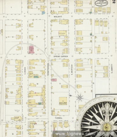
Editorial Image 2 of Sanborn Fire Insurance Map from Lansford, Carbon County, Pennsylvania. Jun 1896. 4 Sheet(s). Includes Summit Hill, Coaldale, Schuylkill Co., America, street map with a Nineteenth Century compass.
- 2021-02-19
- 4
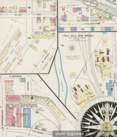
Editorial Image 9 of Sanborn Fire Insurance Map from Pottsville, Schuylkill County, Pennsylvania. Jun 1885. 9 Sheet(s), America, street map with a Nineteenth Century compass.
- 2021-02-19
- 2
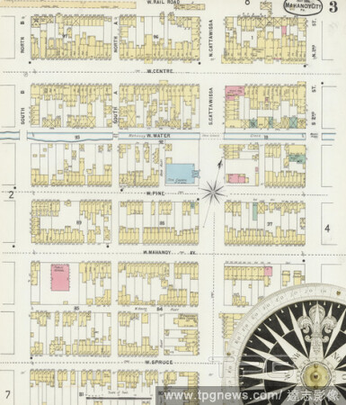
Editorial Image 3 of Sanborn Fire Insurance Map from Mahanoy City, Schuylkill County, Pennsylvania. May 1896. 11 Sheet(s). Includes Gilberton, America, street map with a Nineteenth Century compass.
- 2021-02-19
- 4

Editorial Image 5 of Sanborn Fire Insurance Map from Shenandoah, Schuylkill County, Pennsylvania. Jan 1885. 9 Sheet(s), America, street map with a Nineteenth Century compass.
- 2021-02-19
- 4

Editorial Image 11 of Sanborn Fire Insurance Map from Shenandoah, Schuylkill County, Pennsylvania. Jul 1891. 11 Sheet(s), America, street map with a Nineteenth Century compass.
- 2021-02-19
- 2
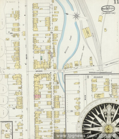
Editorial Image 11 of Sanborn Fire Insurance Map from Mahanoy City, Schuylkill County, Pennsylvania. May 1896. 11 Sheet(s). Includes Gilberton, America, street map with a Nineteenth Century compass.
- 2021-02-19
- 2

Editorial Image 3 of Sanborn Fire Insurance Map from Pottsville, Schuylkill County, Pennsylvania. Jun 1885. 9 Sheet(s), America, street map with a Nineteenth Century compass.
- 2021-02-19
- 2

Editorial Image 1 of Sanborn Fire Insurance Map from Tamaqua, Schuylkill County, Pennsylvania. Jul 1885. 4 Sheet(s), America, street map with a Nineteenth Century compass.
- 2021-02-19
- 4
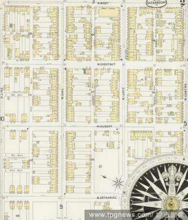
Editorial Image 2 of Sanborn Fire Insurance Map from Shenandoah, Schuylkill County, Pennsylvania. May 1896. 11 Sheet(s), America, street map with a Nineteenth Century compass.
- 2021-02-19
- 2

Editorial Image 4 of Sanborn Fire Insurance Map from Mahanoy City, Schuylkill County, Pennsylvania. Jan 1885. 8 Sheet(s), America, street map with a Nineteenth Century compass.
- 2021-02-19
- 2

Editorial Image 5 of Sanborn Fire Insurance Map from Pottsville, Schuylkill County, Pennsylvania. May 1891. 24 Sheet(s). Includes Port Carbon, Saint Clair, Cressona, Orwigsburg, Minersville. Bound, America, street map with a Nineteenth Century compass.
- 2021-02-19
- 4
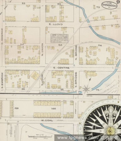
Editorial Image 9 of Sanborn Fire Insurance Map from Shenandoah, Schuylkill County, Pennsylvania. Jan 1885. 9 Sheet(s), America, street map with a Nineteenth Century compass.
- 2021-02-19
- 4
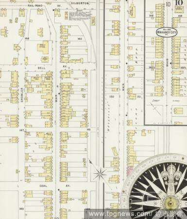
Editorial Image 10 of Sanborn Fire Insurance Map from Mahanoy City, Schuylkill County, Pennsylvania. May 1896. 11 Sheet(s). Includes Gilberton, America, street map with a Nineteenth Century compass.
- 2021-02-19
- 2

Editorial Image 4 of Sanborn Fire Insurance Map from Lansford, Carbon County, Pennsylvania. Jun 1896. 4 Sheet(s). Includes Summit Hill, Coaldale, Schuylkill Co., America, street map with a Nineteenth Century compass.
- 2021-02-19
- 8
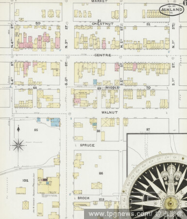
Editorial Image 6 of Sanborn Fire Insurance Map from Ashland, Schuylkill County, Pennsylvania. Aug 1891. 11 Sheet(s). Includes Locust Dale, Girardville, Gordon, Centralia, America, street map with a Nineteenth Century compass.
- 2021-02-19
- 4

Editorial Image 4 of Sanborn Fire Insurance Map from Pottsville, Schuylkill County, Pennsylvania. May 1891. 24 Sheet(s). Includes Port Carbon, Saint Clair, Cressona, Orwigsburg, Minersville. Bound, America, street map with a Nineteenth Century compass.
- 2021-02-19
- 2
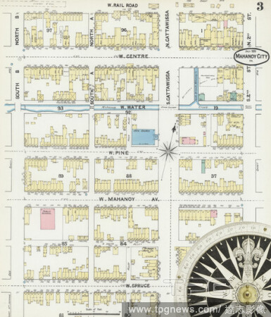
Editorial Image 3 of Sanborn Fire Insurance Map from Mahanoy City, Schuylkill County, Pennsylvania. Jul 1891. 11 Sheet(s). Includes Gilberton, America, street map with a Nineteenth Century compass.
- 2021-02-19
- 2

Editorial Image 6 of Sanborn Fire Insurance Map from Tamaqua, Schuylkill County, Pennsylvania. May 1896. 9 Sheet(s), America, street map with a Nineteenth Century compass.
- 2021-02-19
- 2

Editorial Image 7 of Sanborn Fire Insurance Map from Shenandoah, Schuylkill County, Pennsylvania. Jan 1885. 9 Sheet(s), America, street map with a Nineteenth Century compass.
- 2021-02-19
- 2

Editorial Image 9 of Sanborn Fire Insurance Map from Pottsville, Schuylkill County, Pennsylvania. May 1891. 24 Sheet(s). Includes Port Carbon, Saint Clair, Cressona, Orwigsburg, Minersville. Bound, America, street map with a Nineteenth Century compass.
- 2021-02-19
- 4

Editorial Image 8 of Sanborn Fire Insurance Map from Ashland, Schuylkill County, Pennsylvania. Apr 1896. 12 Sheet(s). Includes Locust Dale, Girardville, Gordon, Centralia, America, street map with a Nineteenth Century compass.
- 2021-02-19
- 2
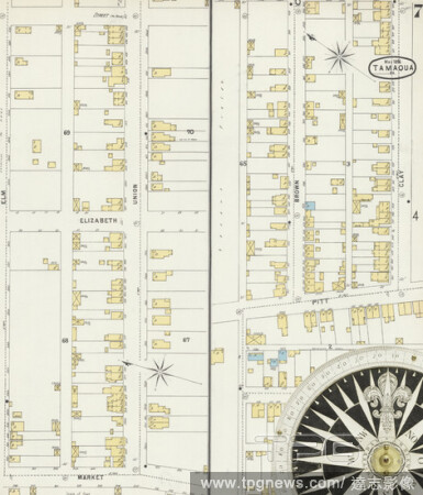
Editorial Image 7 of Sanborn Fire Insurance Map from Tamaqua, Schuylkill County, Pennsylvania. May 1896. 9 Sheet(s), America, street map with a Nineteenth Century compass.
- 2021-02-19
- 6
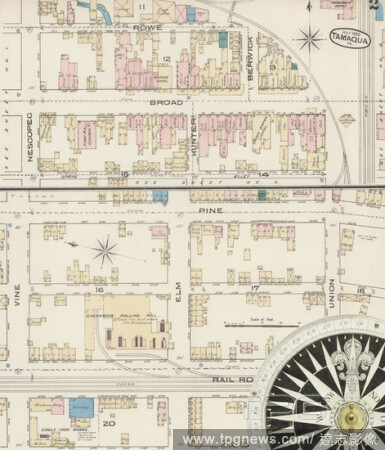
Editorial Image 2 of Sanborn Fire Insurance Map from Tamaqua, Schuylkill County, Pennsylvania. Jul 1885. 4 Sheet(s), America, street map with a Nineteenth Century compass.
- 2021-02-19
- 2
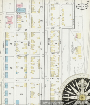
Editorial Image 7 of Sanborn Fire Insurance Map from Ashland, Schuylkill County, Pennsylvania. Aug 1891. 11 Sheet(s). Includes Locust Dale, Girardville, Gordon, Centralia, America, street map with a Nineteenth Century compass.
- 2021-02-19
- 2

Editorial Image 11 of Sanborn Fire Insurance Map from Pottsville, Schuylkill County, Pennsylvania. Apr 1896. 25 Sheet(s). Includes Port Carbon, Saint Clair, Minersville, Schuylkill Haven, Orwigsburg, Cressona. Bound, America, street map with a Nineteenth Century...
- 2021-02-19
- 4
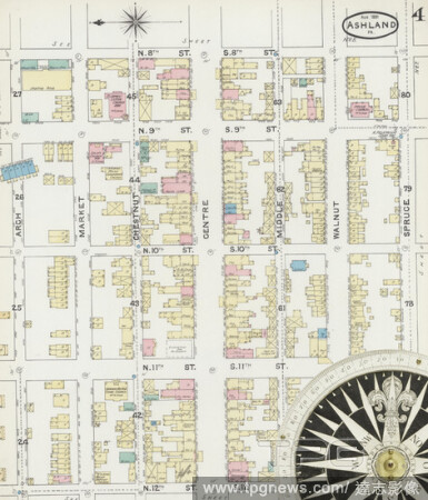
Editorial Image 4 of Sanborn Fire Insurance Map from Ashland, Schuylkill County, Pennsylvania. Aug 1891. 11 Sheet(s). Includes Locust Dale, Girardville, Gordon, Centralia, America, street map with a Nineteenth Century compass.
- 2021-02-19
- 2
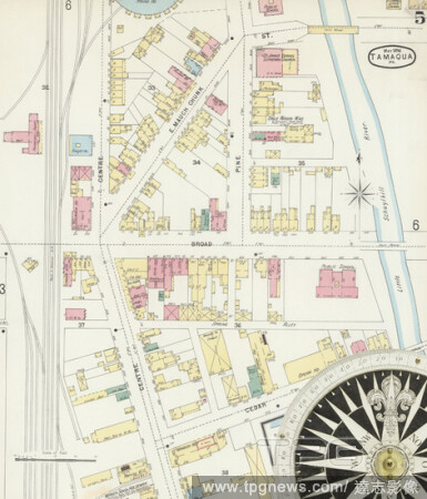
Editorial Image 5 of Sanborn Fire Insurance Map from Tamaqua, Schuylkill County, Pennsylvania. May 1896. 9 Sheet(s), America, street map with a Nineteenth Century compass.
- 2021-02-19
- 6

Editorial Image 25 of Sanborn Fire Insurance Map from Pottsville, Schuylkill County, Pennsylvania. Apr 1896. 25 Sheet(s). Includes Port Carbon, Saint Clair, Minersville, Schuylkill Haven, Orwigsburg, Cressona. Bound, America, street map with a Nineteenth Century...
- 2021-02-19
- 2

Editorial Image 5 of Sanborn Fire Insurance Map from Ashland, Schuylkill County, Pennsylvania. Apr 1896. 12 Sheet(s). Includes Locust Dale, Girardville, Gordon, Centralia, America, street map with a Nineteenth Century compass.
- 2021-02-19
- 4

Editorial Image 19 of Sanborn Fire Insurance Map from Pottsville, Schuylkill County, Pennsylvania. May 1891. 24 Sheet(s). Includes Port Carbon, Saint Clair, Cressona, Orwigsburg, Minersville. Bound, America, street map with a Nineteenth Century compass.
- 2021-02-19
- 2

Editorial Image 11 of Sanborn Fire Insurance Map from Shenandoah, Schuylkill County, Pennsylvania. May 1896. 11 Sheet(s), America, street map with a Nineteenth Century compass.
- 2021-02-19
- 4
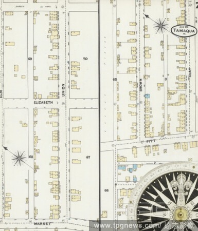
Editorial Image 7 of Sanborn Fire Insurance Map from Tamaqua, Schuylkill County, Pennsylvania. Jun 1891. 9 Sheet(s), America, street map with a Nineteenth Century compass.
- 2021-02-19
- 6

Editorial Image 1 of Sanborn Fire Insurance Map from Lansford, Carbon County, Pennsylvania. Jun 1896. 4 Sheet(s). Includes Summit Hill, Coaldale, Schuylkill Co., America, street map with a Nineteenth Century compass.
- 2021-02-19
- 4
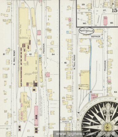
Editorial Image 15 of Sanborn Fire Insurance Map from Pottsville, Schuylkill County, Pennsylvania. May 1891. 24 Sheet(s). Includes Port Carbon, Saint Clair, Cressona, Orwigsburg, Minersville. Bound, America, street map with a Nineteenth Century compass.
- 2021-02-19
- 2
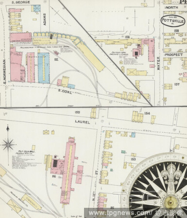
Editorial Image 14 of Sanborn Fire Insurance Map from Pottsville, Schuylkill County, Pennsylvania. May 1891. 24 Sheet(s). Includes Port Carbon, Saint Clair, Cressona, Orwigsburg, Minersville. Bound, America, street map with a Nineteenth Century compass.
- 2021-02-19
- 4
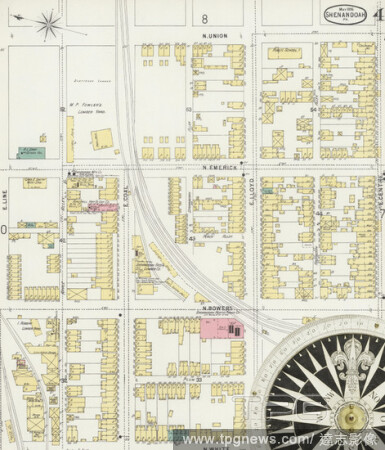
Editorial Image 4 of Sanborn Fire Insurance Map from Shenandoah, Schuylkill County, Pennsylvania. May 1896. 11 Sheet(s), America, street map with a Nineteenth Century compass.
- 2021-02-19
- 4

Editorial Image 3 of Sanborn Fire Insurance Map from Mahanoy City, Schuylkill County, Pennsylvania. Jan 1885. 8 Sheet(s), America, street map with a Nineteenth Century compass.
- 2021-02-19
- 2

Editorial Image 3 of Sanborn Fire Insurance Map from Lansford, Carbon County, Pennsylvania. Jun 1896. 4 Sheet(s). Includes Summit Hill, Coaldale, Schuylkill Co., America, street map with a Nineteenth Century compass.
- 2021-02-19
- 2
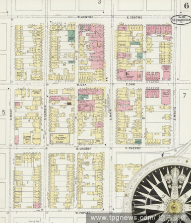
Editorial Image 6 of Sanborn Fire Insurance Map from Shenandoah, Schuylkill County, Pennsylvania. May 1896. 11 Sheet(s), America, street map with a Nineteenth Century compass.
- 2021-02-19
- 2
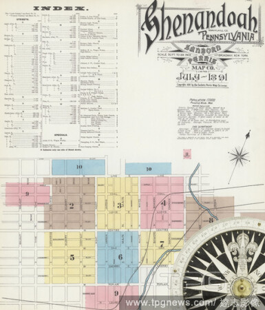
Editorial Image 1 of Sanborn Fire Insurance Map from Shenandoah, Schuylkill County, Pennsylvania. Jul 1891. 11 Sheet(s), America, street map with a Nineteenth Century compass.
- 2021-02-19
- 2
 Loading