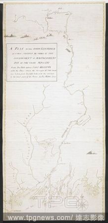
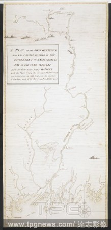
EditorialA plan of the River Kennebeck as it was surveyed by order of the Government of Massachusets Bay in the year MDCCLXI from the falls above Halifax unto the place where the surveyor John Small was killed, from his field book, with the addition of lower pa...
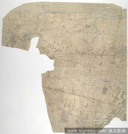
EditorialMilton, Kent. 19th century map. This original protraction of the Swale in Kent extends from Milton to Conyer Creek, and comprises the first plottings from the field book of the area. Ruled-black sheet lines indicate the edges of the area that were copi...
EditorialA plan of the River Kennebeck as it was surveyed by order of the Government of Massachusets Bay in the year MDCCLXI from the falls above Halifax unto the place where the surveyor John Small was killed, from his field book, with the addition of lower pa...
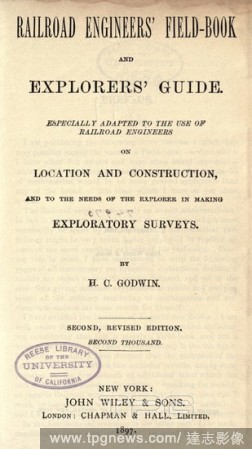
EditorialRailroad engineers' field-book and explorers' guide : Especially adapted to the use of railroad engineers on location and construction, and to the needs of the explorer in making exploratory surveys : Godwin, H. C.
EditorialRailway engineers' field-book and explorers' guide; especially adapted to the use of railroad engineers on location and construction, and to the needs of the xplorer in making exploratory surveys : Godwin, H.C.
EditorialMilton, Kent. 19th century map. This original protraction of the Swale in Kent extends from Milton to Conyer Creek, and comprises the first plottings from the field book of the area. Ruled-black sheet lines indicate the edges of the area that were copi...
EditorialA plan of the River Kennebeck as it was surveyed by order of the Government of Massachusets Bay in the year MDCCLXI from the falls above Halifax unto the place where the surveyor John Small was killed, from his field book, with the addition of lower pa...


 Loading