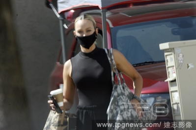
Editorial*EXCLUSIVE* Kim Kardashian happily steps out with boyfriend Pete Davidson for a double date with newly wedded sister Kourtney Kardashian and Travis Barker
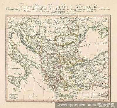
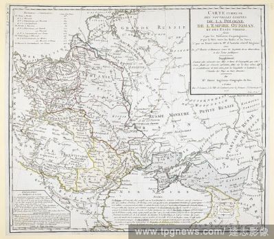
EditorialAn 18th century map covering Russia; Ukraine; Poland (after the first partition); Lithuania; Tartary; Transylvania; Turkey; Hungary and surrounding territories. . Carte curieuse des nouvelles limites de la Pologne, de l'Empire Ottoman, et des E?tats v...
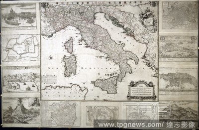
EditorialA map of Italy divided into its states, with plans of the major cities . L'Italie, divise?e en ses E?tats; avec les plans des Villes principales a? la marge. 1706. Source: Maps K.Top.75.43.2 TAB. Language: French.
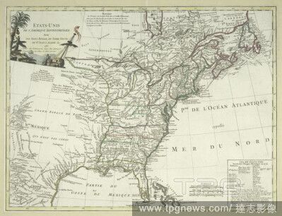
Editorial?tats-Unis de l'Am?rique septentrionale avec les Isles Royale, de Terre Neuve, de St. Jean, l'Acadie &c., cartographic, Maps, 1785, Delamarche, Charles Fran?ois (1740-1817 ).
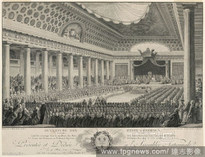
EditorialMeeting of the States General at Versailles in 1789, Isidore-Stanislaus-Henri Helman, French, 1743 - 1809, Charles Monnet, French, 1732 - 1808, Engraving on paper, Interior of the Hall of Revels at Versailles showing the King presiding over the meeting...
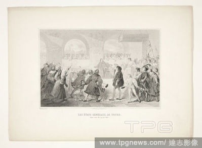
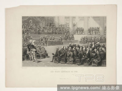
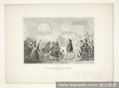
EditorialEngraver: Charles Am?d?e Colin, French, 18081873, After: Michel Martin Drolling, French, 17861851, Les ?tats G?n?raux de Tours (The Estates-General of?Tours), Engraving, sheet: 22.3 ? 30.4 cm (8 3/4 ? 11 15/16?in.), Made in France, French, 19th?century...
EditorialEngraver: Charles Michel Geoffroy, French, 18191880, After: Auguste Couder, French, 17901873, Les ?tats Generaux de 1789 (The Estates-General of?1789), Engraving, sheet: 21.2 ? 29.2 cm (8 3/8 ? 11 1/2?in.), French, 19th?century, Works on Paper -?Prints.
EditorialAn 18th century map covering Russia; Ukraine; Poland (after the first partition); Lithuania; Tartary; Transylvania; Turkey; Hungary and surrounding territories. . Carte curieuse des nouvelles limites de la Pologne, de l'Empire Ottoman, et des E?tats v...
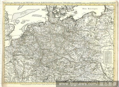
EditorialMap, Routes des postes et des voitures pour les marchandises et pour les voyages par l'empire, dans les principaux ?tats de l'Europe, Jan Stemmers (fl. 1695-1734), Copperplate print.
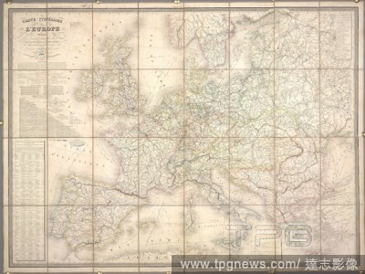
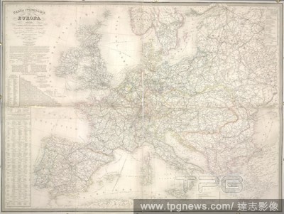
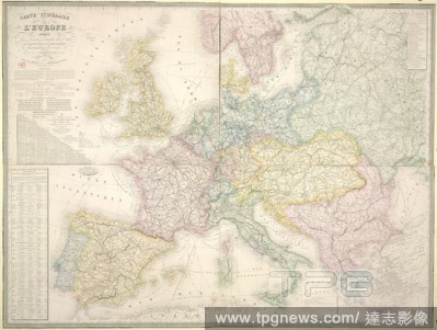
EditorialA route map of Europe. Carte Itine?raire de l'Europe, indiquant les limites actuelles des E?tats ... Dresse?e per A.H. Dufour. 1853. Source: Maps 15.b.33. Language: French.
EditorialAn 18th century map covering Russia; Ukraine; Poland (after the first partition); Lithuania; Tartary; Transylvania; Turkey; Hungary and surrounding territories. . Carte curieuse des nouvelles limites de la Pologne, de l'Empire Ottoman, et des E?tats v...
EditorialA route map of Europe. Carte Itine?raire de l'Europe, indiquant les limites actuelles des E?tats ... Dresse?e per A.H. Dufour. Milano, 1865. Source: Maps 1030.(138.). Language: French.
EditorialA map of Italy divided into its states, with plans of the major cities . L'Italie, divise?e en ses E?tats; avec les plans des Villes principales a? la marge. 1706. Source: Maps K.Top.75.43.2 TAB. Language: French.
EditorialA route map of Europe. Carte Itine?raire de l'Europe, indiquant les limites actuelles des E?tats ... Dresse?e per A.H. Dufour. Paris, 1868. Source: Maps 1030.(169.). Language: French.


 Loading