filter
-
Brand
- By Category
- Direction
- Date Range
99Events
Pictures
Events

Editorial Police Reinforcements Deployed to Central London Amid Major Protests - 26 Oct 2024
- 2024-10-26
- 1

Editorial Large-scale search for a missing treasure hunter in Annaberg-Buchholz, Saxony, Germany - 11 Oct 2024
- 2024-10-12
- 12

Editorial Metropolitan Police protests policing
- 2024-09-09
- 2

Editorial Metropolitan Police protests policing
- 2024-09-08
- 2

Editorial Bangladesh Observes Janmashtami Procession in Limited Scale Amid Ongoing Floods; Heavy Security Ensures Order in Dhaka - 26 Aug 2024
- 2024-08-26
- 19

Editorial The King presents the Royal Dispatches of Employment to new non-commissioned officers of the Air and Space Army
- 2024-07-06
- 25

Editorial The King presents the Royal Dispatches of Employment to new non-commissioned officers of the Air and Space Army
- 2024-07-04
- 25

Editorial The Industry's First Vehicle-scale AI Intelligent Power Battery Factory at SVOLT's Headquarters in Changzhou
- 2024-03-30
- 20

Editorial Paris 2024: full-scale Olympic torch relay test, in Nogent-sur-Seine
- 2024-03-23
- 1

Editorial Freight transport control operation in the Rhone department
- 2023-10-04
- 46

Editorial Freight transport control operation in the Rhone department
- 2023-06-16
- 1

Editorial Freight transport control operation in the Rhone department
- 2023-06-15
- 1
Editorial Freight transport control operation in the Rhone department
- 2023-06-15
- 1

Editorial Freight transport control operation in the Rhone department
- 2023-06-07
- 1
Editorial Freight transport control operation in the Rhone department
- 2023-06-07
- 1
Editorial Freight transport control operation in the Rhone department
- 2023-06-07
- 1

Editorial Freight transport control operation in the Rhone department
- 2023-06-07
- 1
Editorial Freight transport control operation in the Rhone department
- 2023-06-07
- 1
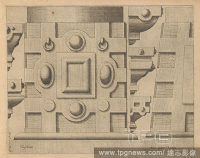
Editorial Freight transport control operation in the Rhone department
- 2023-06-07
- 1
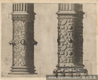
Editorial Freight transport control operation in the Rhone department
- 2023-06-07
- 1
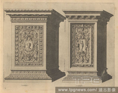
Editorial Freight transport control operation in the Rhone department
- 2023-06-07
- 1
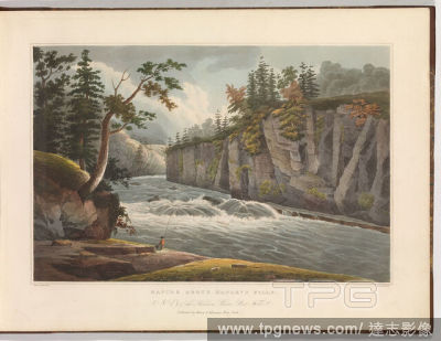
Editorial Freight transport control operation in the Rhone department
- 2023-06-07
- 1

Editorial Freight transport control operation in the Rhone department
- 2023-03-09
- 14
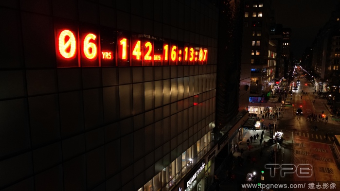
Editorial Freight transport control operation in the Rhone department
- 2023-03-07
- 11

Editorial Freight transport control operation in the Rhone department
- 2023-03-02
- 16
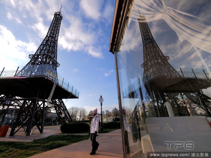
Editorial Eiffel Tower tourism, Varna, Bulgaria - 07 Feb 2023
- 2023-02-08
- 8
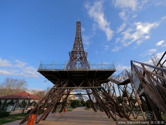
Editorial Scale Model Of Eiffel Tower In Varna, Bulgaria - 07 Feb 2023
- 2023-02-08
- 6
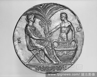
Editorial Nero and the Dying Seneca.
- 2022-12-25
- 1

Editorial New York and Staten Islands. A colored map of New York and Staten Islands, and. 1781. Map of New York and Staten Islands, and part of Long Island. Image taken from A colored map of New York and Staten Islands, and part of Long Island; surveyed by orde...
- 2022-12-24
- 1

Editorial A map of the River Merrimack from the Atlantick Ocean to Pantuckett Falls describing bounds between New Hampshire and Massachusetts Bay, agreeable to His Majesty's Order in Council 1741', surveyed by George Mitchell; aft. 1741. Copy , by G. Matthias. ...
- 2022-12-24
- 1

Editorial NASA Marshall
- 2022-12-23
- 1

Editorial Just Stop Oil Protest, London, UK - 01 Nov 2022
- 2022-11-01
- 4

Editorial Pacific National Exhibition, Vancouver, Canada - 01 Sep 2022
- 2022-09-03
- 1

Editorial Pacific National Exhibition, Vancouver, Canada - 01 Sep 2022
- 2022-07-11
- 7

Editorial The King presides over the Royal Ceremony at the Basic Air Academy of Leon.
- 2022-07-06
- 9
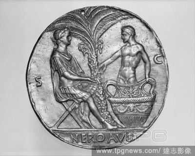
Editorial Nero and the Dying Seneca.
- 2022-04-24
- 1

Editorial This is How You Will Disappear,?Gisele Vienne, photocall at Sadlers Wells, London, UK
- 2022-03-19
- 38
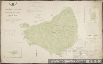
Editorial A plan of the lands called the King's Forest, or the King's Woods, lying in that part of the forest of Waltham called Hainault Forest, and in the parishes of Barking and Dagenham. A colored plan of the lands called the King's Forest, or the King's Wood...
- 2022-01-18
- 1

Editorial A map of the River Merrimack from the Atlantick Ocean to Pantuckett Falls describing bounds between New Hampshire and Massachusetts Bay, agreeable to His Majesty's Order in Council 1741', surveyed by George Mitchell; aft. 1741. Copy , by G. Matthias. ...
- 2022-01-18
- 1
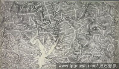
Editorial An accurate survey and measurement of Plymouth and Dock towns, with their fortifications, and the adjacent country. An accurate survey and measurement of Plymouth and Dock towns, with their fortifications, and the adjacent country; surveyed by order of...
- 2022-01-18
- 1
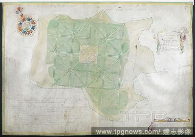
Editorial A plan of Enfield Chase. A Plan of Enfield Chase, in the County of Middlesex. Survey'd by Joel Gascoign, by the order and advice of H. Westlake. Esqr. Survr. A scale of 10 furlongs[ = 118 mm.] (Drawn on parchment). 1700. Source: Maps K.Top.20.9.(1.). L...
- 2022-01-18
- 1
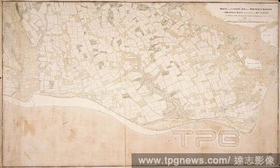
Editorial A survey of the Gosport side from Portsmouth Harbour to Titchfield Haven. A colored survey of the Gosport side from Portsmouth Harbour to Titchfield Haven, made, by order of his Majesty, by Matthew Pitts, Sub-Engineer, under the direction of John Arche...
- 2022-01-18
- 1

Editorial Langley Park, Norfolk: Elevation of the South Front, John Sanderson, active 1730died 1774, British, ca. 1750, Pen and black, brown and gray ink with gray and brown wash over graphite on medium, moderately textured, beige laid paper bar scale of 3/16 in...
- 2022-01-18
- 1

Editorial Security forces in central Kyiv, Ukraine - 01 Dec 2021
- 2021-12-03
- 3

Editorial Security forces in central Kyiv
- 2021-12-02
- 3
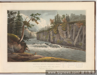
Editorial Rapids Above Hadley's Falls (No. 4 of The Hudson River Portfolio).
- 2021-10-09
- 1

Editorial Macro shots of butterflies, Oxfordshire, UK - 25 Aug 2021
- 2021-08-27
- 12

Editorial Hong Kong Immigration Wave, China - 03 Aug 2021
- 2021-08-17
- 1

Editorial Making multi-figure monument for future memorial to Prince Alexander Nevsky and his guard
- 2021-07-21
- 2

Editorial President Joe Biden displays a semiconductor before signing an executive order, intended to start an effort to insulate the American economy from future shortages of critical imported components, at the White House in Washington on Wednesday, Feb. 24, 2021. (Doug Mills/The New York Times)
- 2021-02-25
- 1

Editorial Fragment, Medium: silk Technique: two integrated fabric structures, 5-harness satin patterned by plain weave (lampas), Satin ground vertically striped in rose-red, orange-red, dark blue, green and white. A broad rosy-red stripe at left has a large-scal...
- 2021-02-21
- 1
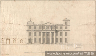
Editorial Langley Park, Norfolk: Elevation, John Sanderson, active 1730died 1774, British, 1757, Pen and black, brown, and gray ink with gray wash and graphite on medium, slightly textured, cream laid paper bar scale of 1/8 inch to 1 foot, Sheet: 11 5/16 x 18 3/...
- 2021-02-21
- 1

Editorial Langley Park, Norfolk: Elevation of the South Front, John Sanderson, active 1730died 1774, British, ca. 1750, Pen and black, brown and gray ink with gray and brown wash over graphite on medium, moderately textured, beige laid paper bar scale of 3/16 in...
- 2021-02-21
- 1

Editorial Study of a Hand.
- 2021-02-19
- 1

Editorial The Garden of False Learning from The Table of Cebes.
- 2021-02-19
- 1

Editorial COMMODE.
- 2021-02-19
- 1
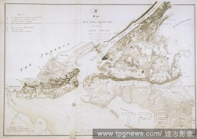
Editorial New York and Staten Islands. A colored map of New York and Staten Islands, and. 1781. Map of New York and Staten Islands, and part of Long Island. Image taken from A colored map of New York and Staten Islands, and part of Long Island; surveyed by orde...
- 2020-12-04
- 1

Editorial A map of the River Merrimack from the Atlantick Ocean to Pantuckett Falls describing bounds between New Hampshire and Massachusetts Bay, agreeable to His Majesty's Order in Council 1741', surveyed by George Mitchell; aft. 1741. Copy , by G. Matthias. ...
- 2020-12-02
- 1

Editorial [Spreading Oak with Seated Figure].
- 2020-09-11
- 1

Editorial Doctors' strike
- 2020-08-26
- 1

Editorial Pro-Petro Poroshenko march in Kiev, Ukraine - 18 Jun 2020
- 2020-06-19
- 2

Editorial Miniature Rolls-Royce costs more than a real car
- 2020-05-27
- 4

Editorial Social Restrictions In Jakarta
- 2020-04-11
- 5
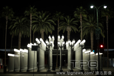
Editorial Los Angeles County Museum of Art (LACMA) Temporarily Closed In Response To Coronavirus COVID-19 Pandemic
- 2020-03-30
- 75

Editorial LA County Museum of Art (LACMA) Temporarily Closed in Response to COVID-19 Pandemic
- 2020-03-30
- 75

Editorial Los Angeles County Museum of Art (LACMA) Temporarily Closed In Response To Coronavirus COVID-19 Pandemic
- 2020-03-29
- 75
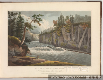
Editorial Rapids Above Hadley's Falls (No. 4 of The Hudson River Portfolio).
- 2019-11-18
- 1
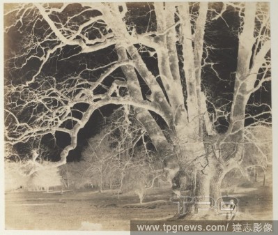
Editorial [Spreading Oak with Seated Figure].
- 2019-11-18
- 1

Editorial Lioness (one of a pair).
- 2019-02-11
- 1
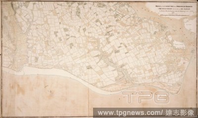
Editorial A survey of the Gosport side from Portsmouth Harbour to Titchfield Haven. A colored survey of the Gosport side from Portsmouth Harbour to Titchfield Haven, made, by order of his Majesty, by Matthew Pitts, Sub-Engineer, under the direction of John Arche...
- 2018-12-06
- 1
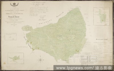
Editorial A plan of the lands called the King's Forest, or the King's Woods, lying in that part of the forest of Waltham called Hainault Forest, and in the parishes of Barking and Dagenham. A colored plan of the lands called the King's Forest, or the King's Wood...
- 2018-12-06
- 1

Editorial New York and Staten Islands. A colored map of New York and Staten Islands, and. 1781. Map of New York and Staten Islands, and part of Long Island. Image taken from A colored map of New York and Staten Islands, and part of Long Island; surveyed by orde...
- 2018-12-06
- 1
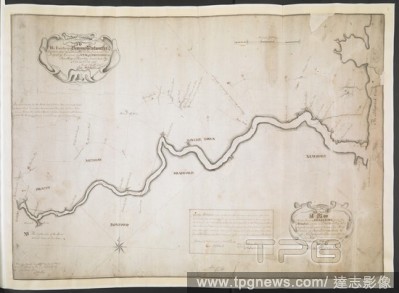
Editorial A map of the River Merrimack from the Atlantick Ocean to Pantuckett Falls describing bounds between New Hampshire and Massachusetts Bay, agreeable to His Majesty's Order in Council 1741', surveyed by George Mitchell; aft. 1741. Copy , by G. Matthias. ...
- 2018-12-06
- 1
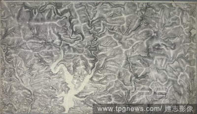
Editorial An accurate survey and measurement of Plymouth and Dock towns, with their fortifications, and the adjacent country. An accurate survey and measurement of Plymouth and Dock towns, with their fortifications, and the adjacent country; surveyed by order of...
- 2018-12-06
- 1
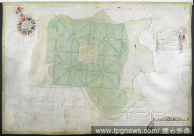
Editorial A plan of Enfield Chase. A Plan of Enfield Chase, in the County of Middlesex. Survey'd by Joel Gascoign, by the order and advice of H. Westlake. Esqr. Survr. A scale of 10 furlongs[ = 118 mm.] (Drawn on parchment). 1700. Source: Maps K.Top.20.9.(1.). L...
- 2018-12-06
- 1
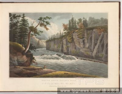
Editorial Rapids Above Hadley's Falls (No. 4 of The Hudson River Portfolio).
- 2018-08-09
- 1
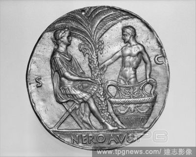
Editorial Nero and the Dying Seneca.
- 2018-08-08
- 1

Editorial The Garden of False Learning from The Table of Cebes.
- 2018-08-06
- 1
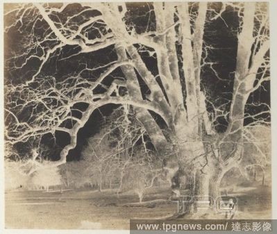
Editorial [Spreading Oak with Seated Figure].
- 2018-08-06
- 1

Editorial Study of a Hand.
- 2018-08-06
- 1

Editorial Lioness (one of a pair).
- 2018-08-06
- 1

Editorial COMMODE.
- 2018-08-06
- 1
 Loading