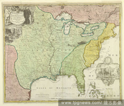
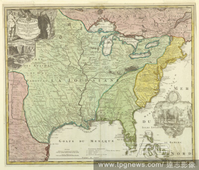
EditorialMap of Louisiana (Mississippi), Johann Baptista Homann, 1664 1724, Etching and engraving, hand-colored, on white laid paper, Map of Louisiana shows the Eastern part of the United States up to Canada; different colors are used for Louisiana (green), Eas...
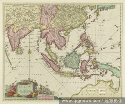
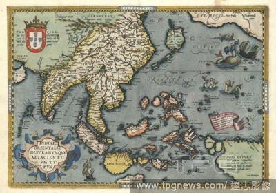
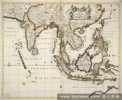
EditorialMap of Southeast Asia with Indonesian Archipelago Indiae Orientalis nec non insularum adiacentium nova descriptio (title on object), Map of Southeast Asia with Indonesian Archipelago, different areas of different colors. In the middle left a compass ro...
EditorialMap of Southeast Asia with Indonesian Archipelago Indiae Orientalis nec non insularum adiacentium nova descriptio (title on object), Map of Southeast Asia with Indonesian Archipelago, different areas of different colors. In the middle left a compass ro...
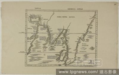
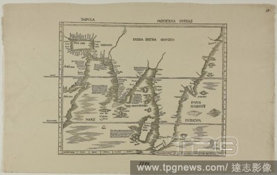
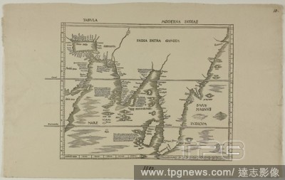
EditorialTabula Moderna Indiae. Unknown Artist; English, 19th century. Date: 1889. Dimensions: 219 ? 347 mm. Woodcut in black on cream laid paper. Origin: England.
EditorialTabula Moderna Indiae. Unknown Artist; English, 19th century. Date: 1889. Dimensions: 219 ? 347 mm. Woodcut in black on cream laid paper. Origin: England.
EditorialTabula Moderna Indiae. Unknown Artist; English, 19th century. Date: 1889. Dimensions: 219 ? 347 mm. Woodcut in black on cream laid paper. Origin: England.
EditorialTabula Moderna Indiae. Unknown Artist; English, 19th century. Date: 1889. Dimensions: 219 ? 347 mm. Woodcut in black on cream laid paper. Origin: England.
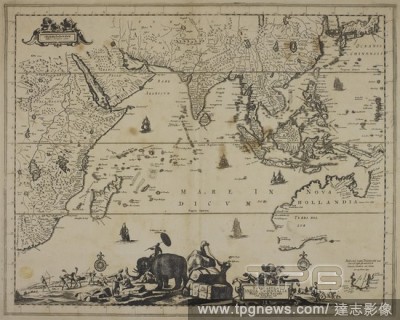
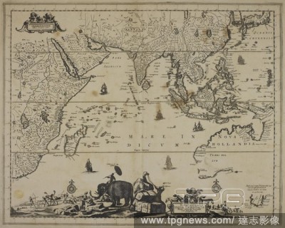
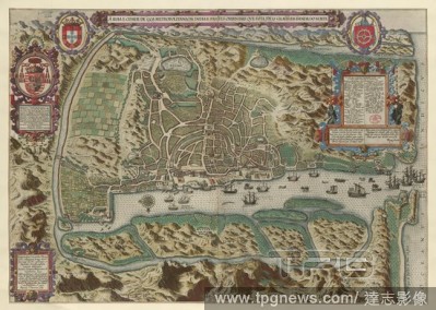
EditorialGoa. A Ilha e Cidade de Goa Metropolitana da India e pa. Amsterdam : C. Claesz, 1596. Map of Goa. Image taken from A Ilha e Cidade de Goa Metropolitana da India e partes orientasique esta en 15 Graos da Banda do Norte Goae Indiae orientalis Metropolis...


 Loading