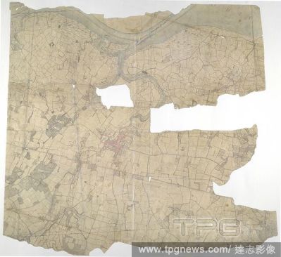
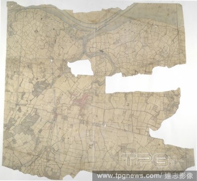
EditorialFaversham, Kent. 18th century map. This is a plan of the Kentish flatlands surrounding Faversham, to the south of The Swale. Ruled red-ink lines radiating from observation stations and intersecting across the map, indicate angular measurements taken by...
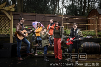
EditorialThe Marsh family, whose pandemic-themed reworkings of familiar songs have been seen by millions, at their home in Faversham, England, on Feb. 17, 2021. (Mary Turner/The New York Times)
EditorialFaversham, Kent. 18th century map. This is a plan of the Kentish flatlands surrounding Faversham, to the south of The Swale. Ruled red-ink lines radiating from observation stations and intersecting across the map, indicate angular measurements taken by...
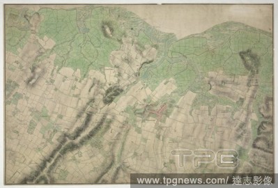
EditorialMerston, Kent. 18th century map. This map is drawn on rectangular sheet lines, enclosed by a black border. Fields are coloured brown where cultivated, and green or blank if untilled. Stonework buildings or structures are drawn in red ink at the major s...
EditorialDisk Brooch, early 600s, Made in Faversham, England, Anglo-Saxon, Gold with garnets, glass, and niello, Overall: 1 7/8 x 7/16 x 1/16 in. (4.7 x 1.1 x 0.2 cm), Metalwork-Gold, The region of Kent, in southeastern England, was an important center of Anglo...


 Loading