filter
-
Brand
- By Category
- Direction
- Date Range
106Events
Pictures
Events

Editorial Daily Life In Krakow, Poland - 12 Aug 2024
- 2024-08-13
- 1

Editorial Jeremy Corbyn election campaign
- 2024-05-25
- 1
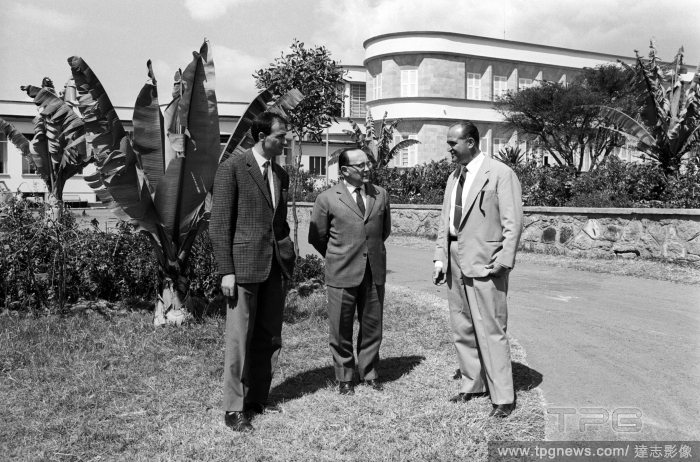
Editorial Italian businessmen
- 2023-10-30
- 1

Editorial 'Coronation Street' TV Show, Episodes 11037-11054 UK - Aug 2023
- 2023-08-31
- 3
Editorial 'Coronation Street' TV Show, Episodes 11037-11054 UK - Aug 2023
- 2023-06-16
- 1
Editorial 'Coronation Street' TV Show, Episodes 11037-11054 UK - Aug 2023
- 2023-06-15
- 1
Editorial 'Coronation Street' TV Show, Episodes 11037-11054 UK - Aug 2023
- 2023-06-15
- 1
Editorial 'Coronation Street' TV Show, Episodes 11037-11054 UK - Aug 2023
- 2023-06-15
- 1
Editorial 'Coronation Street' TV Show, Episodes 11037-11054 UK - Aug 2023
- 2023-06-15
- 1

Editorial 'Coronation Street' TV Show, Episodes 11037-11054 UK - Aug 2023
- 2023-06-14
- 1

Editorial 'Coronation Street' TV Show, Episodes 11037-11054 UK - Aug 2023
- 2023-06-14
- 1
Editorial 'Coronation Street' TV Show, Episodes 11037-11054 UK - Aug 2023
- 2023-06-14
- 1
Editorial 'Coronation Street' TV Show, Episodes 11037-11054 UK - Aug 2023
- 2023-06-07
- 1

Editorial FWRO
- 2023-05-02
- 1

Editorial FWRO
- 2023-05-01
- 3
Editorial FWRO
- 2023-05-01
- 9

Editorial FWRO
- 2023-05-01
- 3

Editorial Vologda Region
- 2023-02-16
- 2
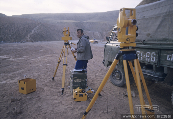
Editorial Nurek reservoir
- 2023-02-08
- 1
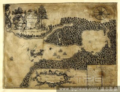
Editorial Plan of Chebuctoo (Chebucto) harbour; with the town of Hallefax (Halifax). . "A plan of Chebuctoo harbour; with the town of Hallefax, by Moses Harris, surveyor, 1749;" drawn on vellum, on a scale of 1 1/12 inch to a mile. 1749. Ms. 1 f. 4 1/2 in. x 12 ...
- 2022-12-24
- 1
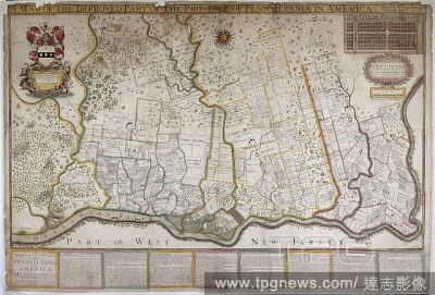
Editorial A map of Pennsylvania, 1687. . "A map of the province of Pennsilvania, containing the three countyes of Chester, Philadelphia, and Bucks, as far as yet surveyed and laid out, &c., with the names of the owners, by Thomas Holme, surveyor-general," 1...
- 2022-12-24
- 1
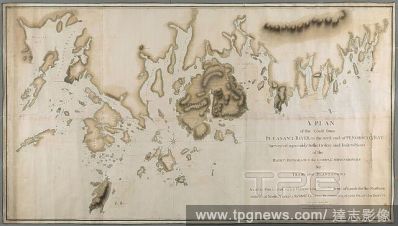
Editorial A plan of the coast from Pleasant River to the west end of Penobscott Bay. A PLAN of the Coast from PLEASANT RIVER to the west end of PENOBSCOT BAY / Surveyed agreeably to the Orders and Instructions of the RIGHT HONORABLE the LORDS COMMISSIONERS for T...
- 2022-12-24
- 1

Editorial A map of the province of Pennsylvania, containing the three counties of Chester, Philadelphia, and Bucks. "A map of the province of Pennsilvania, containing the three countyes of Chester, Philadelphia, and Bucks, as far as yet surveyed and laid out, &c...
- 2022-12-24
- 1
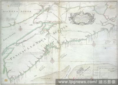
Editorial A chart of the peninsula of Nova Scotia. A CHART OF THE PENINSULA OF NOVA SCOTIA / done by order of His Excellency CHS. LAWRENCE Esqr. Lieut. Govr. & Commr. in Chief of his Majesty's Province of NOVA SCOTIA from many actual Surveys; and the whole corre...
- 2022-12-24
- 1
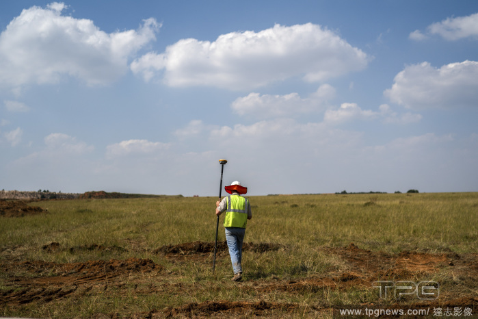
Editorial A mining surveyor works at the Opsirex coal mine site in the Phola township in Mpumalanga province, South Africa, March 29, 2022. (Joao Silva/The New York Times)
- 2022-11-09
- 1

Editorial Alpha Mohammed Kamara indicates to Kadijatu Jiallo, a surveyor, where he buried his wife in the village of Mabin in northern Sierra Leone, Feb. 19, 2022. (Finbarr O'Reilly/The New York Times)
- 2022-10-21
- 1

Editorial NASA Will Launch Bizarre `Inflatable Heat Shield` Into Space Next Month - And It Could Help Humans Land Safely On Mars One Day
- 2022-10-17
- 4

Editorial Isata Kaitongi, top right, a surveyor, gathers cause-of-death data as part of an electronic verbal autopsy in the village of Mabin in northern Sierra Leone, Feb. 19, 2022. (Finbarr O'Reilly/The New York Times)
- 2022-04-19
- 3

Editorial Pictured Connor Tierney who is fighting for the world bareknuckle boxing title in New York.
- 2022-03-11
- 2

Editorial Construction of Kai Tak Quarantine Centre in Hong Kong, China - 23 Feb 2022
- 2022-02-23
- 2
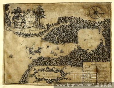
Editorial Plan of Chebuctoo (Chebucto) harbour; with the town of Hallefax (Halifax). . "A plan of Chebuctoo harbour; with the town of Hallefax, by Moses Harris, surveyor, 1749;" drawn on vellum, on a scale of 1 1/12 inch to a mile. 1749. Ms. 1 f. 4 1/2 in. x 12 ...
- 2022-01-18
- 1
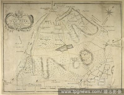
Editorial A plan of His Majesty's New Park, at Richmond, Surrey. A Plan of his Majesty's New Park, at Richmond in Surrey. Taken Sep: 1754. By Edwd John Eyre, Surveyor. A Scale of 80 Chains or One Mile[ = 147 mm]. [London], [1754]. Source: Maps K.Top.41.15.b.2. L...
- 2022-01-18
- 1
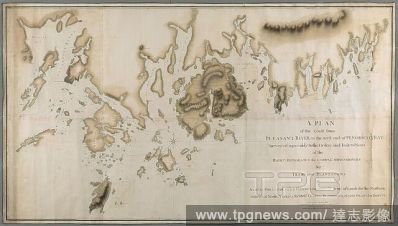
Editorial A plan of the coast from Pleasant River to the west end of Penobscott Bay. A PLAN of the Coast from PLEASANT RIVER to the west end of PENOBSCOT BAY / Surveyed agreeably to the Orders and Instructions of the RIGHT HONORABLE the LORDS COMMISSIONERS for T...
- 2022-01-18
- 1
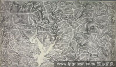
Editorial An accurate survey and measurement of Plymouth and Dock towns, with their fortifications, and the adjacent country. An accurate survey and measurement of Plymouth and Dock towns, with their fortifications, and the adjacent country; surveyed by order of...
- 2022-01-18
- 1
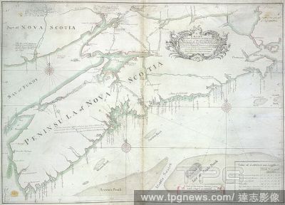
Editorial A chart of the peninsula of Nova Scotia. A CHART OF THE PENINSULA OF NOVA SCOTIA / done by order of His Excellency CHS. LAWRENCE Esqr. Lieut. Govr. & Commr. in Chief of his Majesty's Province of NOVA SCOTIA from many actual Surveys; and the whole corre...
- 2022-01-18
- 1
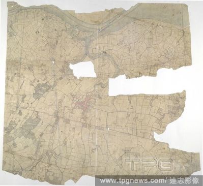
Editorial Faversham, Kent. 18th century map. This is a plan of the Kentish flatlands surrounding Faversham, to the south of The Swale. Ruled red-ink lines radiating from observation stations and intersecting across the map, indicate angular measurements taken by...
- 2022-01-18
- 2
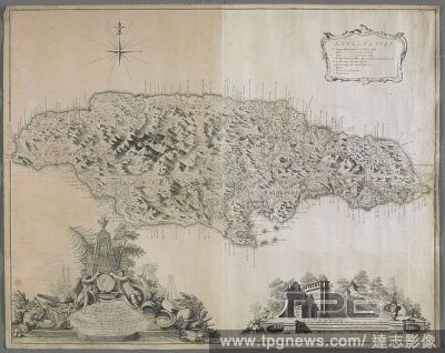
Editorial A map of Jamaica. To the Right Honorable GEORGE, Earl of HALIFAX, One of His Majesty's Principal Secretary's of STATE, &c,&c, This MAP of the Island of JAMAICA. : (laid down from the Papers, and under the direction of HENRY MOORE Esqr. His Majesty's Li...
- 2022-01-18
- 1
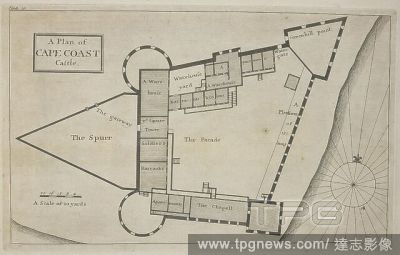
Editorial A plan of cape coast castle. Cape Coast Castle is one of about forty "slave castles", or large commercial forts, built on the Gold Coast of West Africa by European traders. Thirty different Drafts of Guinea by William Smith, Surveyor to ye Royal Afric...
- 2022-01-18
- 1
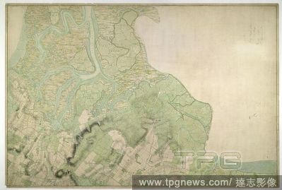
Editorial Halstow (Kent). Drawing showing the area around Halstow in Kent. This map is drawn on rectangular sheet lines, enclosed by a black border. Fields are coloured brown where cultivated, and green or blank if untilled. Marshland dominates this estuarine la...
- 2022-01-18
- 1
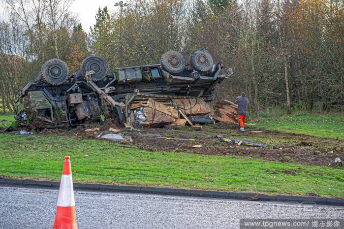
Editorial British Army Heavy Lifter crashes on Keir Roundabout in Dunblane, UK - 23 Nov 2021
- 2021-11-26
- 1
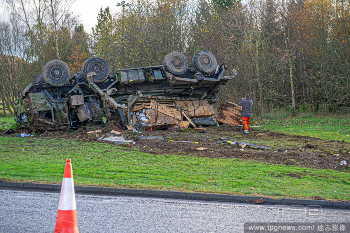
Editorial British Army Heavy Lifter crashes on Keir Roundabout in Dunblane, UK - 23 Nov 2021
- 2021-11-25
- 1
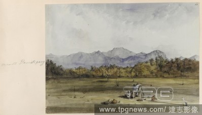
Editorial View of Mount Ilamickipang, with a surveyor [Goodall], in the foreground. Made during Sir Robert Schomburgk's expedition into the interior of British Guiana. Drawings and sketches illustrating the scenery of the interior of British Guiana. British Guia...
- 2021-10-09
- 1
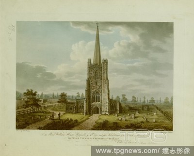
Editorial Figures by the entrance to St. Andrew's Hornchurch; gravestones in front; trees in the distance; the vicarage on the left. To the Revd William Henry Reynell A.M. Vicar and the Inhabitants of the Parish of Hornchurch This WEST VIEW of the CHURCH and VIC...
- 2021-10-09
- 1
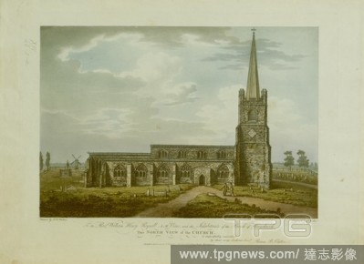
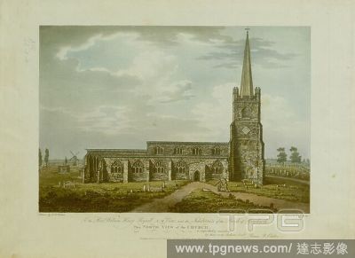
Editorial Figures standing on a path in the churchyard of St. Andrew's Hornchurch; gravestones in front; a windmill to the left in the distance . To the Revd William Henry Reynell A.M. Vicar and the Inhabitants of the Parish of Hornchurch This NORTH VIEW OF THE ...
- 2021-10-09
- 1
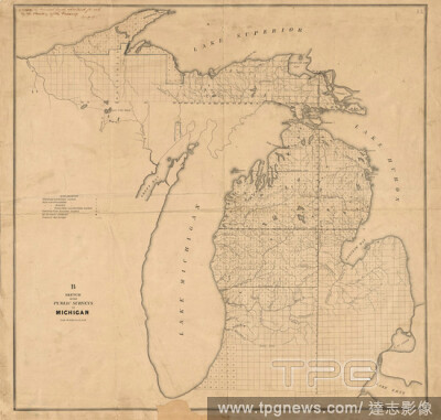
Editorial Sketch of the public surveys in Michigan, cartographic, Maps, 1840 - 1849, United States. Surveyor General of Ohio, Indiana and Michigan.
- 2021-04-07
- 1
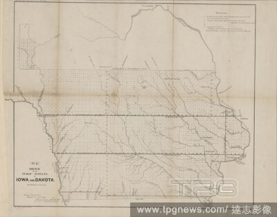
Editorial Sketch of the public surveys in Iowa and Dakota, cartographic, Maps, 1860, United States. Surveyor General of Wisconsin and Iowa, Bien, Julius, 1826-1909, Lewis, Warner, 1805-1888.
- 2021-04-07
- 1
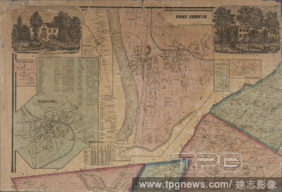
Editorial Map of Orange and Rockland Cos., New York, cartographic, Maps, 1859, French, Frank F. (Surveyor), Wood, W. E., Beers, S. N.
- 2021-04-07
- 1
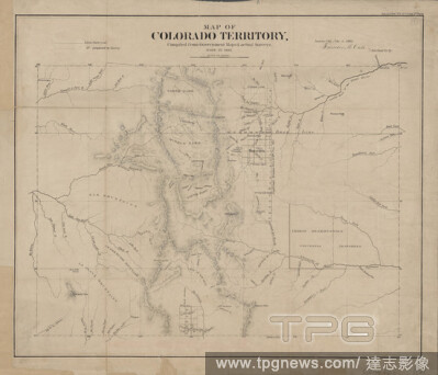
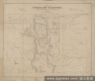
Editorial Map of Colorado territory , cartographic, Maps, 1861, United States. Surveyor General, Case, Francis M., United States. Surveyor General of Colorado.
- 2021-02-22
- 2
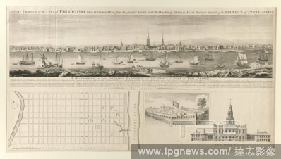
Editorial Engraver: Unknown, An East Prospect of the City of Philadelphia; taken by George Heap, from Jersey Shore, under the direction of Nicholas Scull Surveyor General of the Province of?Pennsylvania., Engraving, sheet: 54.5 ? 96.5 cm (21 7/16 ? 38?in.), Made...
- 2021-02-21
- 1

Editorial Anonymous, 1752, wood, brass, chain: 1 x 1848 x 6.3cm 10 x 18 480 x 63mm, chest: 10.7 x 43 x 16cm 107 x 430 x 160mm, lid: 1 x 42.5 x 14.2cm 10 x 425 x 142mm, Brass surveyor chain of five Rhenish rods with 50 links, with a larger ring every five links. ...
- 2021-02-21
- 1
Editorial Anonymous, 1752, wood, brass, chain: 1 x 1848 x 6.3cm 10 x 18 480 x 63mm, chest: 10.7 x 43 x 16cm 107 x 430 x 160mm, lid: 1 x 42.5 x 14.2cm 10 x 425 x 142mm, Brass surveyor chain of five Rhenish rods with 50 links, with a larger ring every five links. ...
- 2021-02-21
- 1

Editorial Anonymous, 1752, wood, brass, chain: 1 x 1848 x 6.3cm 10 x 18 480 x 63mm, chest: 10.7 x 43 x 16cm 107 x 430 x 160mm, lid: 1 x 42.5 x 14.2cm 10 x 425 x 142mm, Brass surveyor chain of five Rhenish rods with 50 links, with a larger ring every five links. ...
- 2021-02-21
- 1
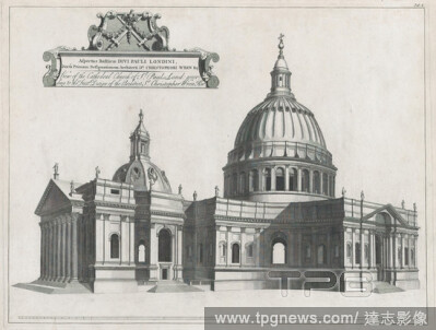
Editorial Sir Christopher Wren, A Catalogue of the Churches of the City of London: Royal Palaces, Hospitals, and Publick Edifices, Built by Sr. Christopher Wren, Kt. Surveyor General of the Royal-Works, during Fifty Years: viz. from 1668 to 1718, Henry Hulsbergh...
- 2021-02-19
- 1

Editorial In an undated photo from NASA, a Centaur second-stage rocket at NASA's Lewis Research Center (now the John H. Glenn Research Center) in Ohio in the 1960s. (NASA/JPL-Caltech via The New York Times)
- 2020-12-08
- 1

Editorial Yin Chan, in Hong Kong, Tuesday, Sept., 29, 2020. (Lam Yik Fei/The New York Times)
- 2020-09-29
- 1

Editorial Michael Dennis, a surveyor and geodesist with the National Geodetic Survey, in Vail, Ariz., Aug. 14, 2020. (Cassidy Araiza/The New York Times)
- 2020-08-18
- 1
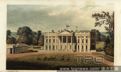
Editorial Moor Park, Hertfordshire, the seat of Robert Williams, 1825. Built in the Palladian style by surveyor Sir James Thornhill from designs by Giacomo Leoni and gardens by Capability Brown. Handcoloured copperplate engraving after an illustration by T.H. Sh...
- 2020-07-28
- 1
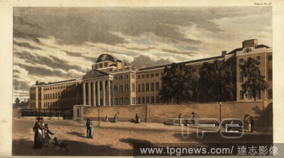
Editorial Bethlem Royal Hospital or Bedlam Hospital in St. Georges Fields, Southwark, 1816. Now the Imperial War Museum. Designed by surveyor James Lewis in the neoclassical style with portico and six Doric columns. Handcoloured copperplate engraving from Rudolp...
- 2020-07-28
- 1
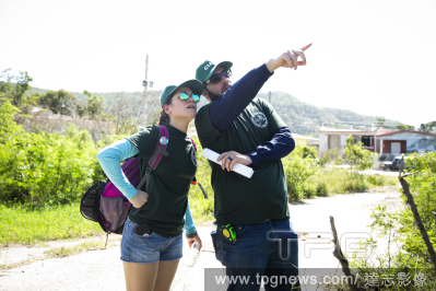
Editorial Surveyor Randolph Ortega and his wife Caissa Vega inspect the collapsed Agripina Seda School in Guánica, P.R., Jan. 11, 2020. (Erika P. Rodriguez/The New York Times)
- 2020-01-12
- 1
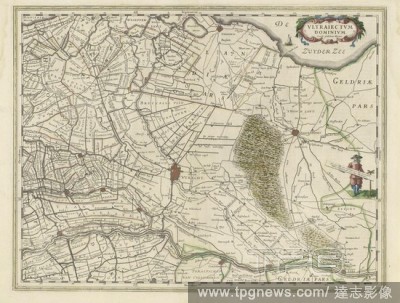
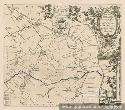
Editorial Map of the province of Utrecht, Vltraiectvm Dominivm (title on object), Map of the province of Utrecht on a scale of 1: 150 000 with the north on the right. Top right a cartouche with the title. Right: a standing surveyor with a distance bar in his han...
- 2019-12-18
- 1

Editorial Marine science surveyor
- 2019-07-30
- 1

Editorial Horse racing in Kyoto
- 2019-01-29
- 1
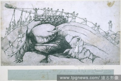
Editorial Sir George Everest. 1834. Sir George Everest, Surveyor General of India (1790-1866), and an assistant supervising work on the Great Trigonometrical Survey Pencil and wash. Originally published/produced in 1834 . Source: WD 3114,.
- 2019-01-23
- 1
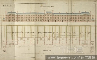
Editorial Front elevation of building at Plymouth Docks in 1694. Naval dockyards of the Royal Navy fleet. . An Account of the generall progress and advancement of His Ma- jesties new docks and yard at Plymouth. A Volume formerly belonging to Robert Harley Esq. a...
- 2019-01-23
- 1
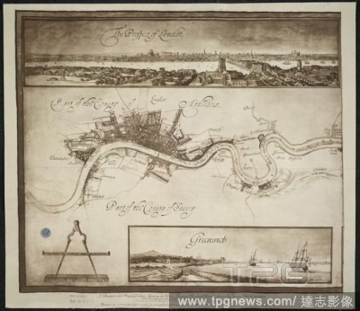
Editorial A Prospect of London. A Mapp or Description of the River of Thames from. A prospect and map of London, showing the River Thames to Woolwich Reach. Image taken from: A Mapp or Description of the River of Thames from Westminster to the Sea ... made by Jo...
- 2019-01-23
- 1
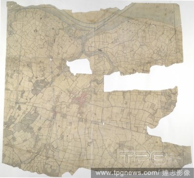
Editorial Faversham, Kent. 18th century map. This is a plan of the Kentish flatlands surrounding Faversham, to the south of The Swale. Ruled red-ink lines radiating from observation stations and intersecting across the map, indicate angular measurements taken by...
- 2018-12-06
- 2

Editorial 'View of Darjeeling in 1852'. Drawn from nature by Captain Walter S. Sherwill, Bengal Army Revenue Surveyor. Lithograph by Maclure, Macdonald and Macgregor. 'View of Darjeeling in 1852'. London, c.1855. Source: P389.
- 2018-12-06
- 1
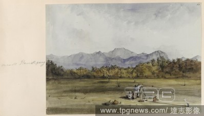
Editorial View of Mount Ilamickipang, with a surveyor [Goodall], in the foreground. Made during Sir Robert Schomburgk's expedition into the interior of British Guiana. Drawings and sketches illustrating the scenery of the interior of British Guiana. British Guia...
- 2018-12-06
- 1
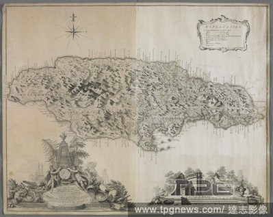
Editorial A map of Jamaica. To the Right Honorable GEORGE, Earl of HALIFAX, One of His Majesty's Principal Secretary's of STATE, &c,&c, This MAP of the Island of JAMAICA. : (laid down from the Papers, and under the direction of HENRY MOORE Esqr. His Majesty's Li...
- 2018-12-06
- 1
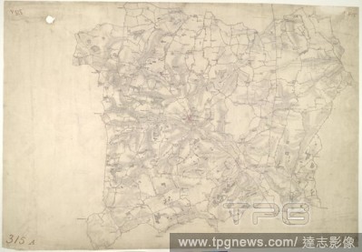
Editorial Stow Market. This is a plan of the Gipping Valley in Suffolk. The circular hole in the top left-hand margin indicates that an 'Ordnance Office Copy' blind stamp has been removed from the manuscript. The die has cut through the paper causing the stamp t...
- 2018-12-06
- 1
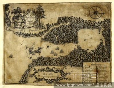
Editorial Plan of Chebuctoo (Chebucto) harbour; with the town of Hallefax (Halifax). . "A plan of Chebuctoo harbour; with the town of Hallefax, by Moses Harris, surveyor, 1749;" drawn on vellum, on a scale of 1 1/12 inch to a mile. 1749. Ms. 1 f. 4 1/2 in. x 12 ...
- 2018-12-06
- 1
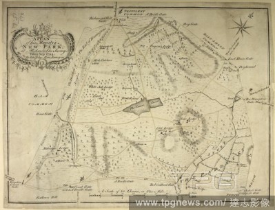
Editorial A plan of His Majesty's New Park, at Richmond, Surrey. A Plan of his Majesty's New Park, at Richmond in Surrey. Taken Sep: 1754. By Edwd John Eyre, Surveyor. A Scale of 80 Chains or One Mile[ = 147 mm]. [London], [1754]. Source: Maps K.Top.41.15.b.2. L...
- 2018-12-06
- 1

Editorial Bala Hissar. Plan and Survey of the Bala Hissar or Fort of Cabu. Calcutta : Surveyor General's Office, 1878. Plan and Survey of the Bala Hissar or Fort of Cabul. Image taken from Plan and Survey of the Bala Hissar or Fort of Cabul, shewing the present...
- 2018-12-06
- 1
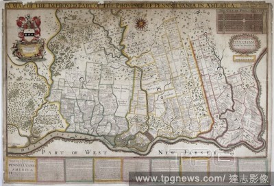
Editorial A map of Pennsylvania, 1687. . "A map of the province of Pennsilvania, containing the three countyes of Chester, Philadelphia, and Bucks, as far as yet surveyed and laid out, &c., with the names of the owners, by Thomas Holme, surveyor-general," 1...
- 2018-12-06
- 1
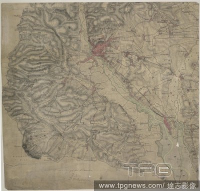
Editorial Exeter. This drawing covers the land either side of the Ex River. Exeter, the largest settlement, is shown in great detail. A barracks, poor house and 'New Gaol' are shown by red blocks on the outskirts of the settlement. The main road leading into Exe...
- 2018-12-06
- 1
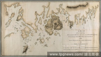
Editorial A plan of the coast from Pleasant River to the west end of Penobscott Bay. A PLAN of the Coast from PLEASANT RIVER to the west end of PENOBSCOT BAY / Surveyed agreeably to the Orders and Instructions of the RIGHT HONORABLE the LORDS COMMISSIONERS for T...
- 2018-12-06
- 1
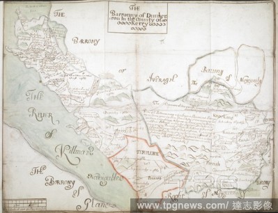
Editorial The Barronny of Dunkerron', co. Kerry (Munster), by an unidentified surveyor; [1655-1656?]. No compass points, but west approx. at top. Scale bar: 320 perches to the inch [1:63360]. Showing, rather crudely, boundaries of parishes and townlands, with pl...
- 2018-12-06
- 1
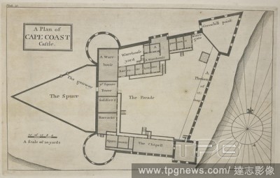
Editorial A plan of cape coast castle. Cape Coast Castle is one of about forty "slave castles", or large commercial forts, built on the Gold Coast of West Africa by European traders. Thirty different Drafts of Guinea by William Smith, Surveyor to ye Royal Afric...
- 2018-12-06
- 1
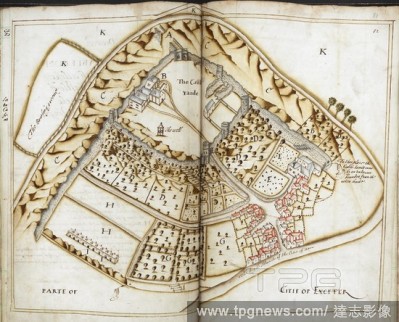
Editorial Plan of Exeter Castle, and part of the city of Exeter, surveyed by John Norden the elder, and John Norden the younger, deputies to Sir James Fullerton, Surveyor-General of the Lands and Land revenues of Prince Charles. June-September 1617. Survey of Pr...
- 2018-12-06
- 1
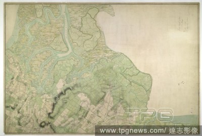
Editorial Halstow (Kent). Drawing showing the area around Halstow in Kent. This map is drawn on rectangular sheet lines, enclosed by a black border. Fields are coloured brown where cultivated, and green or blank if untilled. Marshland dominates this estuarine la...
- 2018-12-06
- 1
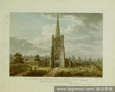
Editorial Figures by the entrance to St. Andrew's Hornchurch; gravestones in front; trees in the distance; the vicarage on the left. To the Revd William Henry Reynell A.M. Vicar and the Inhabitants of the Parish of Hornchurch This WEST VIEW of the CHURCH and VIC...
- 2018-12-06
- 1
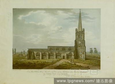
Editorial Figures standing on a path in the churchyard of St. Andrew's Hornchurch; gravestones in front; a windmill to the left in the distance . To the Revd William Henry Reynell A.M. Vicar and the Inhabitants of the Parish of Hornchurch This NORTH VIEW OF THE ...
- 2018-12-06
- 1
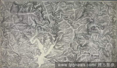
Editorial An accurate survey and measurement of Plymouth and Dock towns, with their fortifications, and the adjacent country. An accurate survey and measurement of Plymouth and Dock towns, with their fortifications, and the adjacent country; surveyed by order of...
- 2018-12-06
- 1
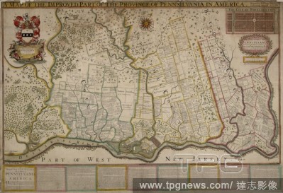
Editorial A map of the province of Pennsylvania, containing the three counties of Chester, Philadelphia, and Bucks. "A map of the province of Pennsilvania, containing the three countyes of Chester, Philadelphia, and Bucks, as far as yet surveyed and laid out, &c...
- 2018-12-06
- 1
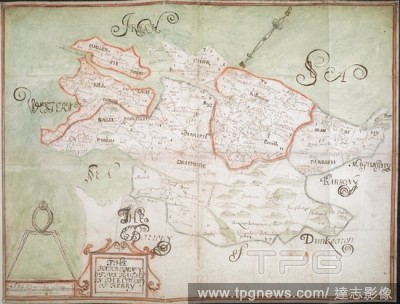
Editorial The Barronny of Iveragh', co. Kerry (Munster), by an unidentified surveyor; [1655-1656?]. North west at top. Scale: 320 perches to the inch [1:63360]. Showing boundaries of parishes (in colour) and townlands, with place-names. Rivers and areas of bog a...
- 2018-12-06
- 2

Editorial A chart of the peninsula of Nova Scotia. A CHART OF THE PENINSULA OF NOVA SCOTIA / done by order of His Excellency CHS. LAWRENCE Esqr. Lieut. Govr. & Commr. in Chief of his Majesty's Province of NOVA SCOTIA from many actual Surveys; and the whole corre...
- 2018-12-06
- 1
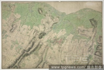
Editorial Merston, Kent. 18th century map. This map is drawn on rectangular sheet lines, enclosed by a black border. Fields are coloured brown where cultivated, and green or blank if untilled. Stonework buildings or structures are drawn in red ink at the major s...
- 2018-12-06
- 1
 Loading