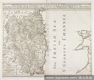
EditorialA map of the province of Leinster. The Province of Leinster Surveyed by Sr William Petty. Divided into its Counties and the Counties into their severall Barronies ... Irish miles, 20[ = 80 mm]]. London : George Wildey, [1730?]. Source: Maps * 10945.(5....
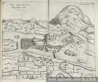
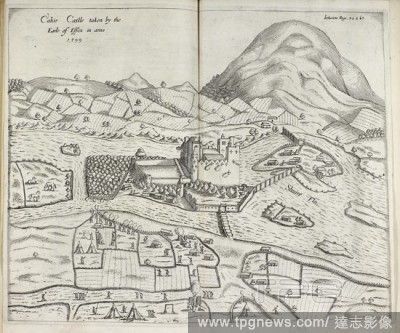
EditorialIllustration of castle in landscape. Irish castle in Munster. Site of battle between the Irish and the English. . Pacata Hibernia. Ireland appeased and reduced. Or, an Historie of the late warres of Ireland, especially within the Province of Mounster u...
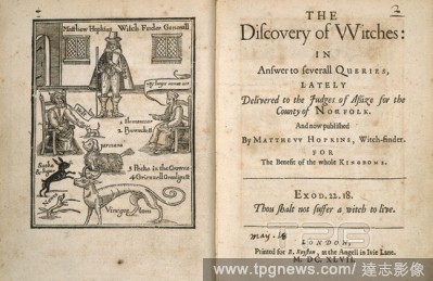
EditorialMatthew Hopkins (d.1647). English 'witchfinder-general'. Matthew Hopkins interrogating several witches, with their familiars. The discovery of witches: in answer to severall Queries, lately delivered to the Judges of Assize for the County of Norfolk. A...
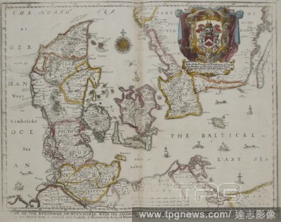
EditorialMap of Denmark, 17th century. A mapp of the Kingdome of Dennmarke, with its severall dioeceses or provinces / Designed by Monsieur Sanson . . . ; rendred [!] into English, & illustrated by Richard Blome . . . 1667 ; W: Hollar fecit 1667. London: R. Blo...
EditorialA map of the province of Leinster. The Province of Leinster Surveyed by Sr William Petty. Divided into its Counties and the Counties into their severall Barronies ... Irish miles, 20[ = 80 mm]]. London : George Wildey, [1730?]. Source: Maps * 10945.(5....
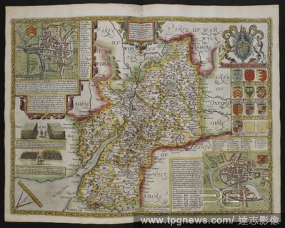
EditorialGlocestershire contrived into thirty thre severall hundreds those againe into foure principall devisions the Citie of Glocester & Bristowe discribed with the armes of such noble menas have bene dignified with ye titlles of Earles & Dukes thereof, A.D. ...
EditorialIllustration of castle in landscape. Irish castle in Munster. Site of battle between the Irish and the English. . Pacata Hibernia. Ireland appeased and reduced. Or, an Historie of the late warres of Ireland, especially within the Province of Mounster u...


 Loading