filter
-
Brand
- By Category
- Direction
- Date Range
91Events
Pictures
Events

Editorial
- 2023-06-15
- 1
Editorial
- 2023-06-15
- 1

Editorial
- 2023-06-15
- 1
Editorial
- 2023-06-15
- 1

Editorial
- 2023-06-15
- 1

Editorial
- 2023-06-15
- 1
Editorial
- 2023-06-15
- 1
Editorial
- 2023-06-15
- 1
Editorial
- 2023-06-15
- 1

Editorial
- 2023-06-15
- 1

Editorial
- 2023-06-15
- 1

Editorial
- 2023-06-15
- 1

Editorial
- 2023-06-14
- 1

Editorial
- 2023-06-14
- 1
Editorial
- 2023-06-14
- 1
Editorial
- 2023-06-14
- 1
Editorial
- 2023-06-14
- 1

Editorial
- 2023-06-14
- 1
Editorial
- 2023-06-14
- 1

Editorial
- 2023-06-14
- 1

Editorial
- 2023-06-14
- 1

Editorial
- 2023-06-07
- 1

Editorial
- 2023-06-07
- 1

Editorial
- 2023-06-07
- 1
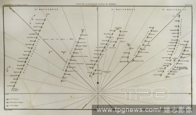
Editorial Plane of Ferrol Expedition (Battle of Brion). It takes place on the Sunday closest to August 25th in the Brion's Mounts, in 1800. It was a part of the War of the Second Coalition. There fought the troops stationed in Ferrol and invading English troops ...
- 2021-10-09
- 3
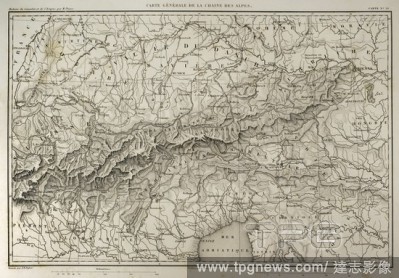
Editorial Map of mountain range of the Alps. Atlas de l'Histoire du Consulat et de l'Empire. History of the Consulate and the Empire of France under Napoleon by Marie Joseph Louis Adolphe Thiers (1797-1877). Drawings by Dufour, engravings by Dyonnet. Edited in P...
- 2021-10-09
- 7
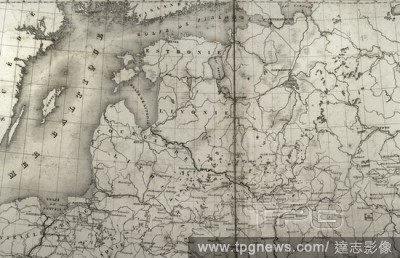
Editorial Napoleonic map. Russia. Detail of the Baltic States and the Gulf of Finland. Atlas de l'Histoire du Consulat et de l'Empire. History of the Consulate and the Empire of France under Napoleon by Marie Joseph Louis Adolphe Thiers (1797-1877). Drawings by ...
- 2021-10-09
- 2
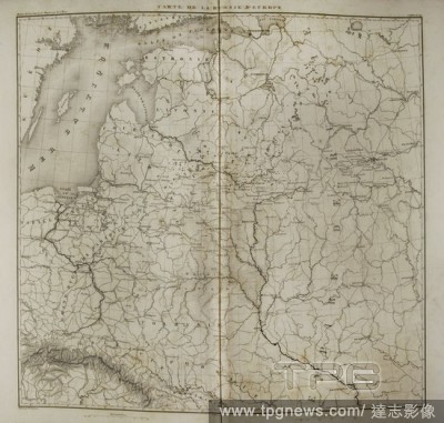
Editorial Napoleonic map of European Russia. Atlas de l'Histoire du Consulat et de l'Empire. History of the Consulate and the Empire of France under Napoleon by Marie Joseph Louis Adolphe Thiers (1797-1877). Drawings by Dufour, engravings by Dyonnet. Edited in P...
- 2021-10-09
- 1
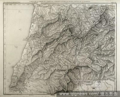
Editorial Napoleonic map. Portugal, detail of the territory between the Douro river, Atlantic Ocean and Guadiana river. Atlas de l'Histoire du Consulat et de l'Empire. History of the Consulate and the Empire of France under Napoleon by Marie Joseph Louis Adolphe...
- 2021-10-09
- 1
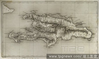
Editorial Napoleonic map. Island of Santo Domingo. Napoleon re-established slavery on the island, sending thousands of soldiers in 1802. Half of the French troops died because of yellow fever. Atlas de l'Histoire du Consulat et de l'Empire. History of the Consul...
- 2021-10-09
- 6
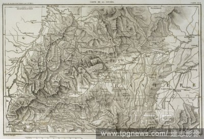
Editorial Map of Swabia (southwestern Germany). Atlas de l'Histoire du Consulat et de l'Empire. History of the Consulate and the Empire of France under Napoleon by Marie Joseph Louis Adolphe Thiers (1797-1877). Drawings by Dufour, engravings by Dyonnet. Edited i...
- 2021-10-09
- 7

Editorial Van Dyck et Son Protecteur le Comte de Bristol, Leopold Flameng, 18311911, French, after Sir Anthony Van Dyck, 15991641, Flemish, active in Britain (162021; 163234; 163541), Printed by Louis Adolphe Salmon, 18061895, French, undated, Etching and drypoi...
- 2021-02-21
- 1

Editorial Louis Adolphe Hervier, French, 18181879, Market in Normandy, 1848, Etching and aquatint on laid paper, image: 3 3/8 x 4 3/4 in. (8.6 x 12.1 cm).
- 2021-02-19
- 1

Editorial Louis Adolphe Hervier, French, 18181879, Interieur de Ferme, 1854, Etching, aquatint, drypoint and roulette on wove paper, image: 4 7/16 x 5 7/8 in. (11.2 x 15 cm).
- 2021-02-19
- 1

Editorial Louis Adolphe Hervier, French, 18181879, Barque ? mar?e basse (Boulogne-sur-Mer), 1863, Etching and roulette on laid paper, image: 7 15/16 x 10 5/8 in. (20.2 x 27 cm).
- 2021-02-19
- 1
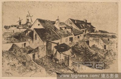
Editorial Louis Adolphe Hervier, French, 18181879, Windmills in Montmartre, c. 1854, Etching on paper, image: 4 7/8 x 7 1/2 in. (12.4 x 19 cm).
- 2021-02-19
- 1

Editorial Louis Adolphe Hervier, French, 18181879, Fishing Boat, c. 1854, Etching, aquatint and drypoint on paper, plate: 4 5/8 x 5 7/8 in. (11.7 x 15 cm).
- 2021-02-19
- 1
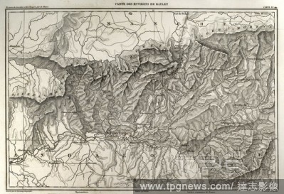
Editorial Napolenic map. Surrounding of the town of Bailen (province of Jaen, Andalusia, Spain). During the War of Spanish Independence it took place a battle in Bailen, the first defeat of the French army, 19 th July, 1808. Atlas de l'Histoire du Consulat et de...
- 2020-12-01
- 2
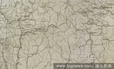
Editorial Napoleonic map. European Russia. Territory in the vicinity of Moscow. Atlas de l'Histoire du Consulat et de l'Empire. History of the Consulate and the Empire of France under Napoleon by Marie Joseph Louis Adolphe Thiers (1797-1877). Drawings by Dufour,...
- 2020-12-01
- 2
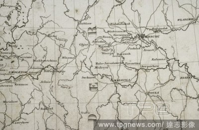
Editorial Napoleonic map. Russia. Area of Moscow. Atlas de l'Histoire du Consulat et de l'Empire. History of the Consulate and the Empire of France under Napoleon by Marie Joseph Louis Adolphe Thiers (1797-1877). Drawings by Dufour, engravings by Dyonnet. Edited...
- 2020-12-01
- 1
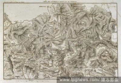
Editorial Napoleonic map. Surroundings of the cities of Engen and Stokach, in present-day Germany. Atlas de l'Histoire du Consulat et de l'Empire. History of the Consulate and the Empire of France under Napoleon by Marie Joseph Louis Adolphe Thiers (1797-1877). ...
- 2020-12-01
- 2
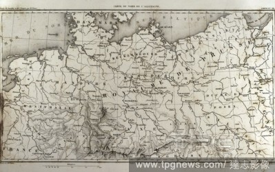
Editorial Map of north Germany. Atlas de l'Histoire du Consulat et de l'Empire. History of the Consulate and the Empire of France under Napoleon by Marie Joseph Louis Adolphe Thiers (1797-1877). Drawings by Dufour, engravings by Dyonnet. Edited in Paris, 1864.
- 2020-11-26
- 1
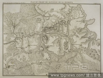
Editorial Napoleonic map. Battle of Borodino, 7 September 1812, during the French invasion of Russia. Battlefield. Napoleonic Wars. Confrontation between French and Russian armies. French tactical victory. Atlas de l'Histoire du Consulat et de l'Empire. History ...
- 2020-09-29
- 1
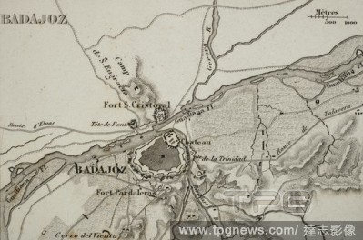
Editorial Napoleonic map. City of Badajoz, Extremadura, Spain. Peninsular War. Badajoz was sieged four times between 1811 and 1812 (Napoleonic Wars). Atlas de l'Histoire du Consulat et de l'Empire History of the Consulate and the Empire of France under Napoleon ...
- 2020-09-29
- 1

Editorial [Pont d'Ouilly on the Orne River, Normandy].
- 2020-09-11
- 1
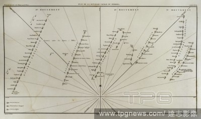
Editorial Plane of Ferrol Expedition (Battle of Brion). It takes place on the Sunday closest to August 25th in the Brion's Mounts, in 1800. It was a part of the War of the Second Coalition. There fought the troops stationed in Ferrol and invading English troops ...
- 2020-09-11
- 2
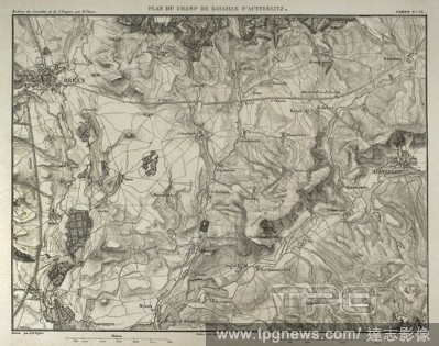
Editorial Napoleonic map. Battle of Austerlitz or Battle of the Three Emperors (2nd December 1805). Part of War of the Third Coalition (Napoleonic Wars). French Victory. Atlas de l'Histoire du Consulat et de l'Empire. History of the Consulate and the Empire of F...
- 2020-09-11
- 3
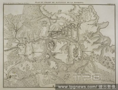
Editorial Napoleonic map. Battle of Borodino, 7 September 1812, during the French invasion of Russia. Battlefield. Napoleonic Wars. Confrontation between French and Russian armies. French tactical victory. Atlas de l'Histoire du Consulat et de l'Empire. History ...
- 2020-09-11
- 1
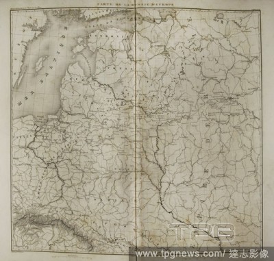
Editorial Napoleonic map of European Russia. Atlas de l'Histoire du Consulat et de l'Empire. History of the Consulate and the Empire of France under Napoleon by Marie Joseph Louis Adolphe Thiers (1797-1877). Drawings by Dufour, engravings by Dyonnet. Edited in P...
- 2020-09-11
- 1
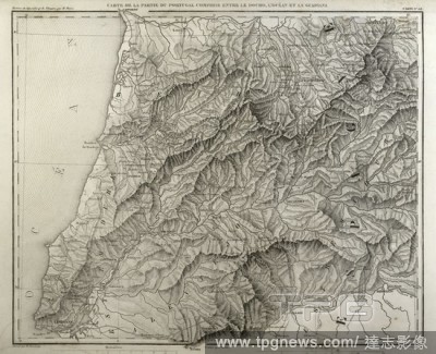
Editorial Napoleonic map. Portugal, detail of the territory between the Douro river, Atlantic Ocean and Guadiana river. Atlas de l'Histoire du Consulat et de l'Empire. History of the Consulate and the Empire of France under Napoleon by Marie Joseph Louis Adolphe...
- 2020-09-11
- 1
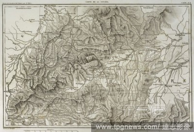
Editorial Map of Swabia (southwestern Germany). Atlas de l'Histoire du Consulat et de l'Empire. History of the Consulate and the Empire of France under Napoleon by Marie Joseph Louis Adolphe Thiers (1797-1877). Drawings by Dufour, engravings by Dyonnet. Edited i...
- 2020-09-11
- 2
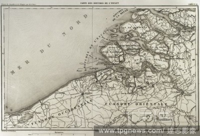
Editorial Napoleonic map. Mouth of Scheldt river (Bouches-de-L'Escaut). It was a department of the First French Empire which was formed in 1810, when the Kingdom of Holland was annexed by France. (Netherlands). Scheldt is an European river which born in France, ...
- 2020-07-30
- 1
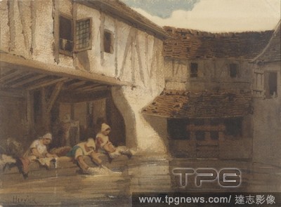
Editorial Washing women in an open hall of a waterfront residential complex, hermitage, Louis-Adolphe Hervier, 1828 - 1879, paper, watercolor (paint), brush, h 212 mm ? w 287 mm.
- 2020-01-15
- 1

Editorial Louis Adolphe Hervier (French, 1818 - 1879). Une Barque ? Mar?e Basse (Boulogne-sur-Mer), 19th century. Etching, aquatint, and roulette.
- 2019-12-17
- 1

Editorial [Pont d'Ouilly on the Orne River, Normandy].
- 2019-11-18
- 1
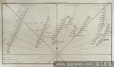
Editorial Plane of Ferrol Expedition (Battle of Brion). It takes place on the Sunday closest to August 25th in the Brion's Mounts, in 1800. It was a part of the War of the Second Coalition. There fought the troops stationed in Ferrol and invading English troops ...
- 2019-06-10
- 9
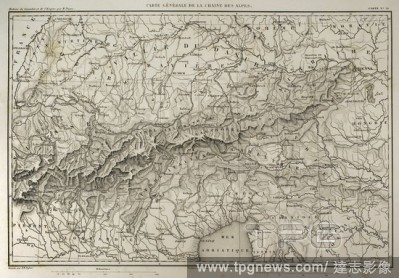
Editorial Map of mountain range of the Alps. Atlas de l'Histoire du Consulat et de l'Empire. History of the Consulate and the Empire of France under Napoleon by Marie Joseph Louis Adolphe Thiers (1797-1877). Drawings by Dufour, engravings by Dyonnet. Edited in P...
- 2019-06-10
- 13
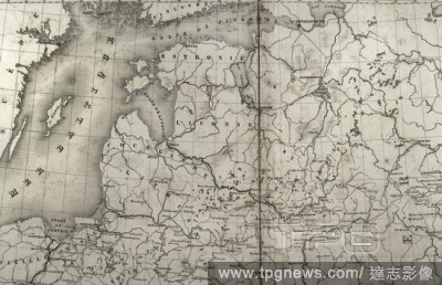
Editorial Napoleonic map. Russia. Detail of the Baltic States and the Gulf of Finland. Atlas de l'Histoire du Consulat et de l'Empire. History of the Consulate and the Empire of France under Napoleon by Marie Joseph Louis Adolphe Thiers (1797-1877). Drawings by ...
- 2019-06-10
- 8
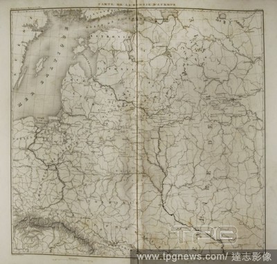
Editorial Napoleonic map of European Russia. Atlas de l'Histoire du Consulat et de l'Empire. History of the Consulate and the Empire of France under Napoleon by Marie Joseph Louis Adolphe Thiers (1797-1877). Drawings by Dufour, engravings by Dyonnet. Edited in P...
- 2019-06-10
- 2
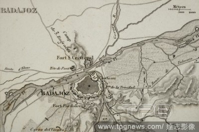
Editorial Napoleonic map. City of Badajoz, Extremadura, Spain. Peninsular War. Badajoz was sieged four times between 1811 and 1812 (Napoleonic Wars). Atlas de l'Histoire du Consulat et de l'Empire History of the Consulate and the Empire of France under Napoleon ...
- 2019-06-10
- 2
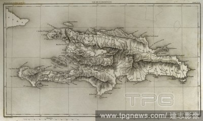
Editorial Napoleonic map. Island of Santo Domingo. Napoleon re-established slavery on the island, sending thousands of soldiers in 1802. Half of the French troops died because of yellow fever. Atlas de l'Histoire du Consulat et de l'Empire. History of the Consul...
- 2019-06-10
- 8
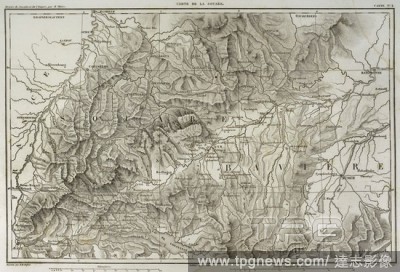
Editorial Map of Swabia (southwestern Germany). Atlas de l'Histoire du Consulat et de l'Empire. History of the Consulate and the Empire of France under Napoleon by Marie Joseph Louis Adolphe Thiers (1797-1877). Drawings by Dufour, engravings by Dyonnet. Edited i...
- 2019-06-10
- 12
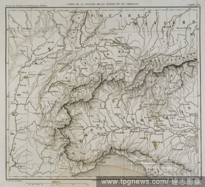
Editorial Map of Swabia (southwest Germany), Switzerland and Piamont (North Italy). Atlas de l'Histoire du Consulat et de l'Empire. History of the Consulate and the Empire of France under Napoleon by Marie Joseph Louis Adolphe Thiers (1797-1877). Drawings by Duf...
- 2019-06-10
- 1

Editorial Farm and Marsh at Port Louis. Adolphe Marie Timoth?e Beaufr?re; French, 1876-1960. Date: 1908. Dimensions: 200 ? 297 mm (plate); 238 ? 325 mm (sheet). Etching on off-white laid paper. Origin: France.
- 2019-03-18
- 1

Editorial [Pont d'Ouilly on the Orne River, Normandy].
- 2019-02-15
- 1
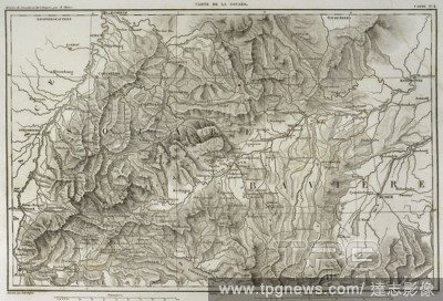
Editorial Map of Swabia (southwestern Germany). Atlas de l'Histoire du Consulat et de l'Empire. History of the Consulate and the Empire of France under Napoleon by Marie Joseph Louis Adolphe Thiers (1797-1877). Drawings by Dufour, engravings by Dyonnet. Edited i...
- 2019-01-25
- 1
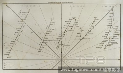
Editorial Plane of Ferrol Expedition (Battle of Brion). It takes place on the Sunday closest to August 25th in the Brion's Mounts, in 1800. It was a part of the War of the Second Coalition. There fought the troops stationed in Ferrol and invading English troops ...
- 2019-01-25
- 9
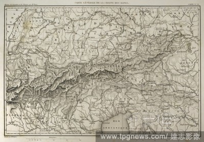
Editorial Map of mountain range of the Alps. Atlas de l'Histoire du Consulat et de l'Empire. History of the Consulate and the Empire of France under Napoleon by Marie Joseph Louis Adolphe Thiers (1797-1877). Drawings by Dufour, engravings by Dyonnet. Edited in P...
- 2019-01-25
- 13
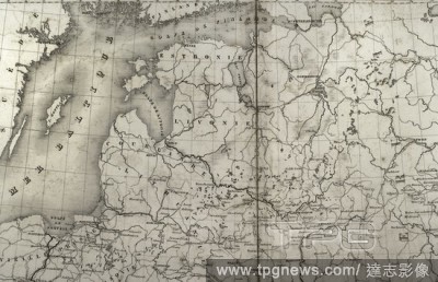
Editorial Napoleonic map. Russia. Detail of the Baltic States and the Gulf of Finland. Atlas de l'Histoire du Consulat et de l'Empire. History of the Consulate and the Empire of France under Napoleon by Marie Joseph Louis Adolphe Thiers (1797-1877). Drawings by ...
- 2019-01-25
- 8
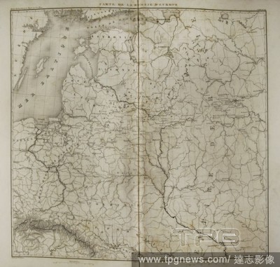
Editorial Napoleonic map of European Russia. Atlas de l'Histoire du Consulat et de l'Empire. History of the Consulate and the Empire of France under Napoleon by Marie Joseph Louis Adolphe Thiers (1797-1877). Drawings by Dufour, engravings by Dyonnet. Edited in P...
- 2019-01-25
- 2
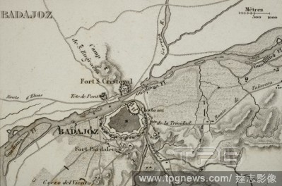
Editorial Napoleonic map. City of Badajoz, Extremadura, Spain. Peninsular War. Badajoz was sieged four times between 1811 and 1812 (Napoleonic Wars). Atlas de l'Histoire du Consulat et de l'Empire History of the Consulate and the Empire of France under Napoleon ...
- 2019-01-25
- 2
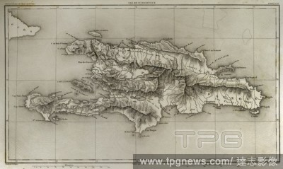
Editorial Napoleonic map. Island of Santo Domingo. Napoleon re-established slavery on the island, sending thousands of soldiers in 1802. Half of the French troops died because of yellow fever. Atlas de l'Histoire du Consulat et de l'Empire. History of the Consul...
- 2019-01-25
- 8
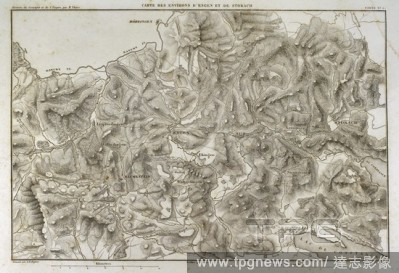
Editorial Napoleonic map. Surroundings of the cities of Engen and Stokach, in present-day Germany. Atlas de l'Histoire du Consulat et de l'Empire. History of the Consulate and the Empire of France under Napoleon by Marie Joseph Louis Adolphe Thiers (1797-1877). ...
- 2019-01-25
- 11
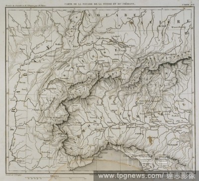
Editorial Map of Swabia (southwest Germany), Switzerland and Piamont (North Italy). Atlas de l'Histoire du Consulat et de l'Empire. History of the Consulate and the Empire of France under Napoleon by Marie Joseph Louis Adolphe Thiers (1797-1877). Drawings by Duf...
- 2019-01-25
- 1
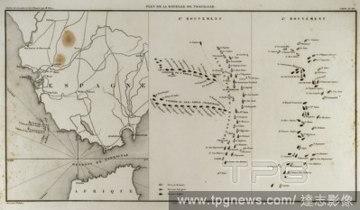
Editorial Plano de la Batalla de Trafalgar. Tuvo lugar el 21 de octubre de 1805, en el marco de la Tercera Coalici?n, para intentar derrocar a Napole?n. Con victoria brit?nica, al mando de Horatio Nelson. Historia del Consulado y del Imperio de Napole?n (Atlas d...
- 2019-01-23
- 1

Editorial Louis Dodier en prisonnier, 1847 Louis Dodier as a prisoner, 1847. Date/Period: 1847. Photograph. Daguerreotype. Height: 110 mm (4.33 in); Width: 150 mm (5.90 in).
- 2018-10-15
- 1
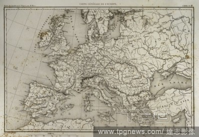
Editorial Mapa general de Europa. Historia del Consulado y del Imperio de Napole?n (Atlas de l'Histoire du Consulat et de l'Empire). Obra de Marie Joseph Louis Adolphe Thiers (1797-1877). Dibujos realizados por Dufour y grabados por Dyonnet. Editado en Par?s, 18...
- 2018-10-11
- 1
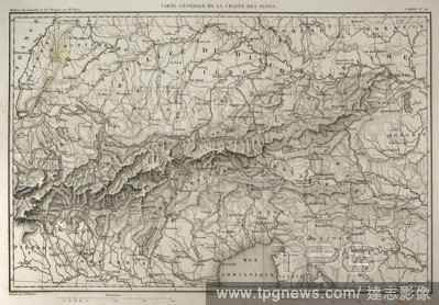
Editorial Mapa general de la Cadena de los Alpes. Historia del Consulado y del Imperio de Napole?n (Atlas de l'Histoire du Consulat et de l'Empire). Obra de Marie Joseph Louis Adolphe Thiers (1797-1877). Dibujos realizados por Dufour y grabados por Dyonnet. Edit...
- 2018-09-18
- 13
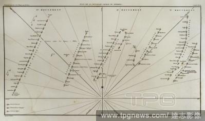
Editorial Plano de la batalla naval de Bri?n (25 y 26 de agosto de 1800) en la R?a de El Ferrol (Galicia, Espa?a). Contexto de la guerra Anglo-Espa?ola iniciada en 1796 con Francia como aliada de Espa?a. La victoria fue espa?ola. Escuadras francesas, inglesas y ...
- 2018-09-12
- 9
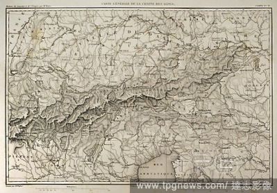
Editorial Mapa general de la Cadena de los Alpes. Historia del Consulado y del Imperio de Napole?n (Atlas de l'Histoire du Consulat et de l'Empire). Obra de Marie Joseph Louis Adolphe Thiers (1797-1877). Dibujos realizados por Dufour y grabados por Dyonnet. Edit...
- 2018-09-06
- 13
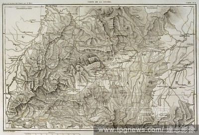
Editorial Mapa de Suabia (suroeste de Alemania). Historia del Consulado y del Imperio de Napole?n (Atlas de l'Histoire du Consulat et de l'Empire). Obra de Marie Joseph Louis Adolphe Thiers (1797-1877). Dibujos realizados por Dufour y grabados por Dyonnet. Edita...
- 2018-08-21
- 12
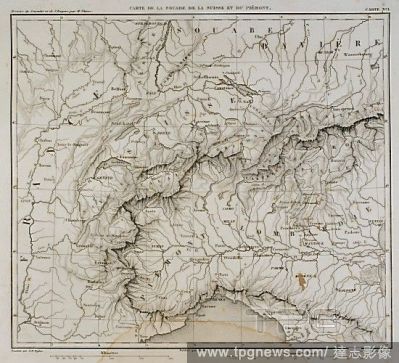
Editorial L?mina con mapa de Suabia (Suroeste Alemania), Suiza y del Piamonte (Norte Italia). Historia del Consulado y del Imperio de Napole?n (Atlas de l'Histoire du Consulat et de l'Empire). Obra de Marie Joseph Louis Adolphe Thiers (1797-1877). Dibujos realiz...
- 2018-08-21
- 1
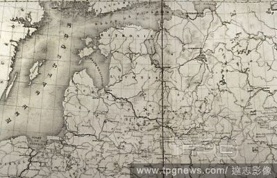
Editorial Mapa de Rusia. Detalle de los Paises B?lticos y del Golfo de Finlandia. Historia del Consulado y del Imperio de Napole?n (Atlas de l'Histoire du Consulat et de l'Empire). Obra de Marie Joseph Louis Adolphe Thiers (1797-1877). Dibujos realizados por Duf...
- 2018-08-21
- 8
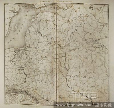
Editorial Mapa de la Rusia Europea. Historia del Consulado y del Imperio de Napole?n (Atlas de l'Histoire du Consulat et de l'Empire). Obra de Marie Joseph Louis Adolphe Thiers (1797-1877). Dibujos realizados por Dufour y grabados por Dyonnet. Editado en Par?s, ...
- 2018-08-21
- 2
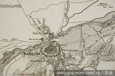
Editorial Plano de la ciudad de Badajoz. Durante la Guerra de Independencia Espa?ola la ciudad fue sitiada en cuatro ocasiones por el ej?rcito franc?s. 1811-1812. Historia del Consulado y del Imperio de Napole?n (Atlas de l'Histoire du Consulat et de l'Empire). ...
- 2018-08-21
- 2
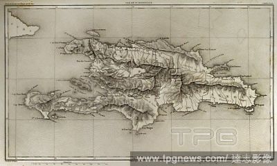
Editorial Mapa de la Isla de Santo Domingo. En 1802 Napole?n restableci? de nuevo la esclavitud en la isla, enviando a miles de soldados. La mitad del ej?rcito franc?s muri? por la fiebre amarilla. Historia del Consulado y del Imperio de Napole?n (Atlas de l'His...
- 2018-08-21
- 8
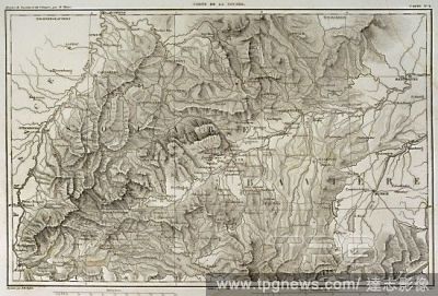
Editorial Mapa de Suabia (suroeste de Alemania). Historia del Consulado y del Imperio de Napole?n (Atlas de l'Histoire du Consulat et de l'Empire). Obra de Marie Joseph Louis Adolphe Thiers (1797-1877). Dibujos realizados por Dufour y grabados por Dyonnet. Edita...
- 2018-08-09
- 12
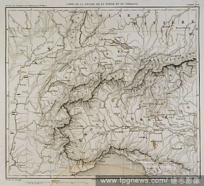
Editorial L?mina con mapa de Suabia (Suroeste Alemania), Suiza y del Piamonte (Norte Italia). Historia del Consulado y del Imperio de Napole?n (Atlas de l'Histoire du Consulat et de l'Empire). Obra de Marie Joseph Louis Adolphe Thiers (1797-1877). Dibujos realiz...
- 2018-08-09
- 1

Editorial [Pont d'Ouilly on the Orne River, Normandy].
- 2018-08-08
- 1

Editorial Photomontage of nine men politicians around a table, including Louis Adolphe Thiers fourth from right and Jules Favre third from right, Ernest Appert, c. 1867 - c. 1871.
- 2018-07-31
- 1

Editorial Louis Adolphe Hervier (French, 1818 - 1879). Une Barque ? Mar?e Basse (Boulogne-sur-Mer), 19th century. Etching, aquatint, and roulette.
- 2018-07-27
- 1
 Loading