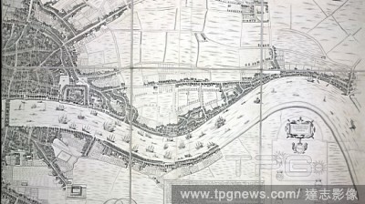
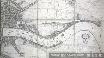
EditorialA map of the cities of London and Westminster. An exact delineation of the Cities of London and Westminster and the Suburbs thereof, together wth ye Burrough of Southwark and All ye Through-fares, Highwaies, Streetes, Lanes & Common Allies wth in ye sa...
EditorialA map of the cities of London and Westminster. An exact delineation of the Cities of London and Westminster and the Suburbs thereof, together wth ye Burrough of Southwark and All ye Through-fares, Highwaies, Streetes, Lanes & Common Allies wth in ye sa...
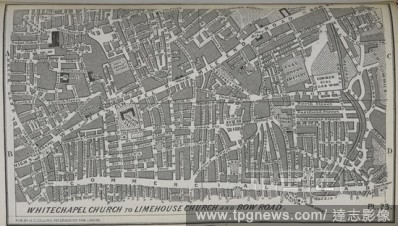
EditorialWhitechapel Church to Limehouse Church and Bow Road. Part of the first street atlas of London published in 1854. Collins' Illustrated Atlas of London with 7000 references, in 36 plates of the principal routes between St. Paul's and the suburbs, from a ...

 Loading