filter
-
Brand
- By Category
- Direction
- Date Range
82Events
Pictures
Events
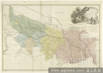
Editorial Map of the catchment area of the Ganges A map of Bengal, Bahar, Old & Allahabad with part of Agra and Delhi exhibiting the course of the Ganges from Hurdwar to the sea (Map on object), Map of the Ganges area, the different areas in different colors. To...
- 2020-01-15
- 1
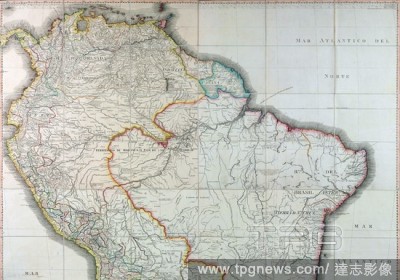
Editorial GEOGRAPHICAL MAP OF SOUTH AMERICA - 1799.
- 2019-03-06
- 1
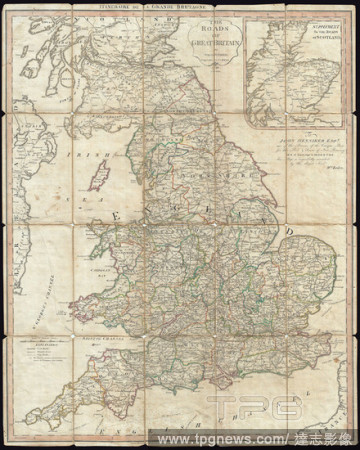
Editorial 1790, Faden Map of the Roads of Great Britain or England.
- 2019-01-23
- 1

Editorial 1793, Faden Wall Map of India.
- 2019-01-23
- 1

Editorial 1800, Faden Rennell Wall Map of India.
- 2019-01-23
- 1
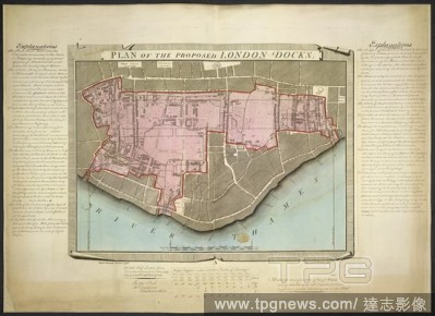
Editorial London Docks. Plan of the proposed London Docks, from a survey b. 1799. A plan of the proposed London Docks. Image taken from Plan of the proposed London Docks, from a survey by Daniel Alexander, 1796; engraved by W. Faden, in 1797, on a scale of 240 ...
- 2019-01-23
- 1
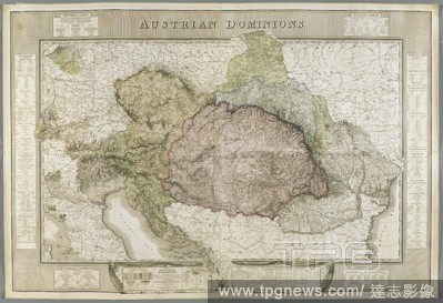
Editorial A map of the Austrian Dominions. AUSTRIAN DOMINIONS. LONDON : Published by W. FADEN, Geographer to HIS MAJESTY, and to His Royal Highness, the PRINCE of WALES; Charing Cross, December 21.st 1809. Source: Maps K.Top.90.2.Tab.end. Language: English.
- 2018-12-06
- 1
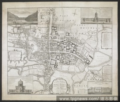
Editorial A plan of Oxford. Oxford. Surveyed by I. Taylor in 1750 and engraved by G. Anderton. [Scale 3 chains to one inch]. London : Faden, 1789. Source: Maps * 4735.(2.). Language: English.
- 2018-12-06
- 1

Editorial Plan of the City of New York, in North America: surveyed in the years 1766 & 1767. Plan of the City of New York, in North America: surveyed in the years 1766 & 1767. To His Excellency Sir Henry Moore, Bart ... This Plan of the City of New York and its ...
- 2018-12-06
- 1

Editorial A detailed survey map of the New Forest, done on the orders of the Commissioners of the Land Revenue in 1789. Southampton county in England. . A Plan of His Majesty’s Forest called the New Forest. England 1789. A Plan of His Majesty’s Forest called...
- 2018-12-06
- 1
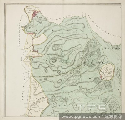
Editorial A detailed survey map of the New Forest, done on the orders of the Commissioners of the Land Revenue in 1789. Southampton county in England. . A Plan of His Majesty’s Forest called the New Forest. England 1789. A Plan of His Majesty’s Forest called...
- 2018-12-06
- 1

Editorial A map of Scotland. SCOTLAND DRAWN AND ENGRAV'D from a series of Angles and ASTRONOMICAL OBSERVATIONS. [Edinburgh] ; [London] : Publish'd according to Act of Parliament Jan.y 1.st 1789 by John & James Ainslies Booksellers & Stationers S.t Andrew's Stree...
- 2018-12-06
- 1

Editorial A map of the Province of New York. A MAP of the PROVINCE of NEW-YORK, Reduc'd from the large Drawing of that Province, Compiled from Actual Surveys by Order of His Excellency WILLIAM TRYON Esq.r Captain General & Governor of the same... LONDON : Publis...
- 2018-12-06
- 1
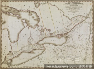
Editorial A Map of the located districts in the Province of Upper Canada, describing all the new settlements, townships . [London] : W. Faden, January 1st, 1813. Source: Maps K.Top.119.14.2.TAB. Language: English.
- 2018-12-06
- 1
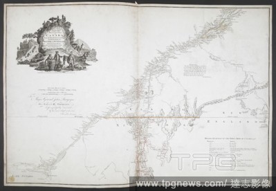
Editorial A map of the inhabited part of Canada. A Map of the inhabited Part of Canada, from the French surveys; with the Frontiers of New York and New England, from the large Survey. London : W. Faden, 1777. Source: Maps K.Top.119.8. Language: English.
- 2018-12-06
- 1

Editorial A sketch of the action between the British forces and the American provincials, on the heights of the peninsula of Charlestown, the 17th of June 1775. MAPS and Plans, chiefly of fortifications or surveys for miltary purposes. 17th century-18th century....
- 2018-12-06
- 1
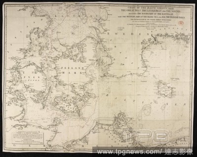
Editorial A chart of the Baltic Sea Straits. Chart of the Baltic Sea Straits, namely, the Great Belt, the Little Belt and the Sound; including the South Part of the Kattegat, with the Western Part of the Baltic Sea, and all the Danish Isles, from the Surveys mad...
- 2018-12-06
- 1
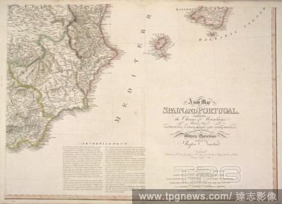
Editorial Map of the east coast of Spain. Showing: Castilla; Murcia; Valenciana; Iviza; Mallorca. A new map of Spain and Portugal ... compiled by Jasper Nantiat. London : Published by W. Faden ... Charing Cross, Jan. 1st. 1810. 1 map on 4 sheets : hand col ; 110...
- 2018-12-06
- 1
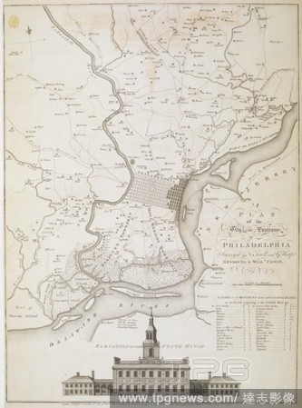
Editorial A plan of the City and Environs of Philadelphia. A PLAN of the City and Environs of PHILADELPHIA. London : Publish'd according to Act of Parl.t March 12.th 1777 by W. Faden Successor to the late Mr. Jefferys Geographer to the KING Charing Cross, [March...
- 2018-12-06
- 1

Editorial A map of Portugal and Spain. In bold: Algarve; Alentejo; Estremadura; Extremadura; Toledo; Cordoba; Laman; Granada and, Sevilla. A new map of Spain and Portugal ... compiled by Jasper Nantiat. London : Published by W. Faden ... Charing Cross, Jan. 1st....
- 2018-12-06
- 1
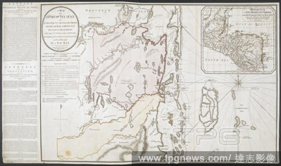
Editorial A map of part of Yucatan. A MAP OF A PART OF YUCATAN, or OF THAT PART OF THE EASTERN SHORE WITHIN THE BAY OF HONDURAS ALLOTED TO GREAT BRITAIN FOR THE CUTTING OF LOGWOOD, in consequence of the CONVENTION SIGNED WITH SPAIN on the 14.th July 1786. LONDON...
- 2018-12-06
- 1

Editorial 18th century map of the county of Northamptonshire. . The County of Northamptonshire, as surveyed and planned by the late T. Eyre, revised by the late T. Jefferys, and engraved by W. Faden. London, 1779. Source: Maps*4420.(3).
- 2018-12-06
- 1

Editorial A view of Gibraltar from the North, with the isthmus in the foreground, mountains, town and fortifications on the left. The harbour, sailing ships and the bay on the right and the coast of Northern Africa seen in distance. A NORTH VIEW OF THE ROCK OF G...
- 2018-12-06
- 1
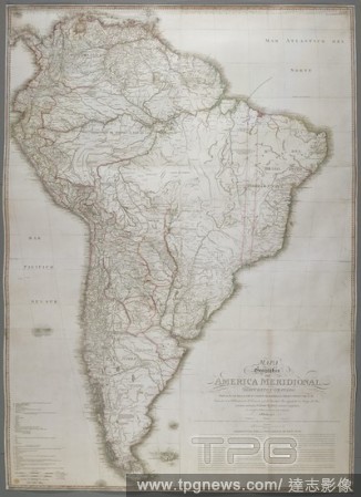
Editorial A map of South America. MAPA GEOGRáFICO DE AMERICA MERIDIONAL, / DISPUESTO Y GRAVADO POR D. JUAN DE LA CRUZ CANO Y OLMEDILLA, GEOG.FO PENS.DO DE S.M. Indivuduo de la Rl. Academia de Sn. Fernando, y de la Sociedad Bascongada de los Amigos del Pais; ten...
- 2018-12-06
- 2
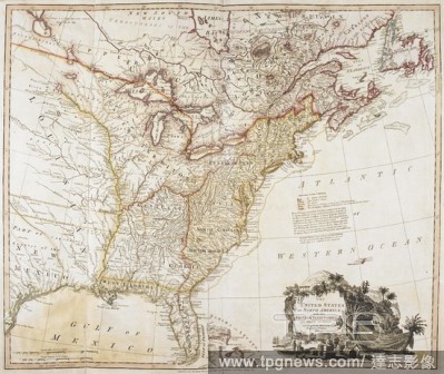
Editorial An 18th century map of the United States of America, with the British and Spanish territories. The United States of North America. With the British & Spanish Territories according to the Treaty. Engrav'd by Wm. Faden. 1793. Source: Maps K.Top.120.2.
- 2018-12-06
- 1
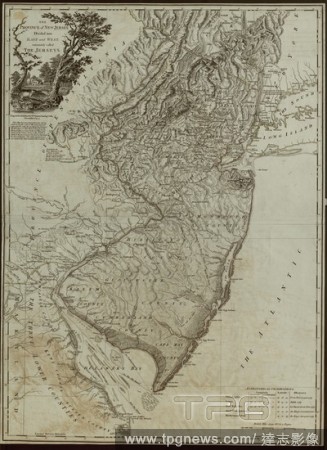
Editorial A map of the Province of New Jersey, divided into East and West. THE PROVINCE of NEW JERSEY, Divided into EAST and WEST, commonly called THE JERSEYS. [London] : Engraved & Published by WM. FADEN Charing Cross, December 1.st 1777. Copperplate engraving ...
- 2018-12-06
- 1
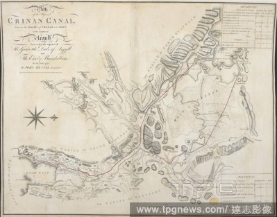
Editorial Plan of the Proposed Crinan canal, between the Lochs of Crinan and Gilp, in the County of Argyll : Surveyed at the expence of His Grace the Duke of Argyll and the Earl of Breadalbane in the Year 1792, by John Rennie, Engineer. Engraved by W. Faden. Pla...
- 2018-12-06
- 1
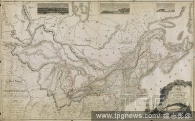
Editorial Map of the Provinces of Upper & Lower Canada with the Adjacent Parts of the United States of America &c. . [London] : Published, as the Act directs Augst. 12th 1815 by W. Faden, Geographer to HIS MAJESTY & to HIS ROYAL HIGHNESS the PRINCE REGENT, Chari...
- 2018-12-06
- 1
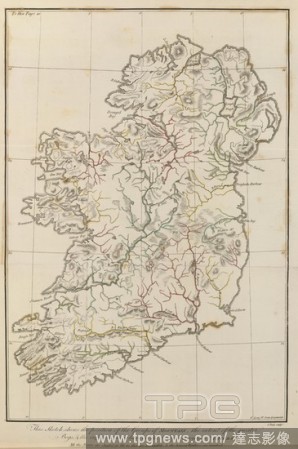
Editorial A map of Ireland. A new map of Ireland, civil and ecclesiastical. By the Rev. D.A. Beaufort ... To His Majesty King George the Third ... dedicated by the Author. S.T. Neele sculp. [Scale, 1 inch = 6 Irish miles]. London : W. Faden, 1792. Source: Maps C...
- 2018-12-06
- 1
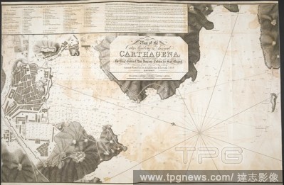
Editorial A plan of the city, harbour and arsenal of Carthagena . Plano de la Cindad, Puerto y Arsenal de Cartagena... Faden, 1810. Source: Maps K.Top.73.55. Language: English.
- 2018-12-06
- 1

Editorial A plan of Newmarket. A Plan of the Town of Newmarket. London : Faden, 1787. Source: Maps K.Top.8.75. Language: English.
- 2018-12-06
- 1

Editorial A map of the environs of Edinburgh. A MAP OF THE ENVIRONS OF EDINBURGH. [Edinburgh] ; [London] ; [Dublin] : Published as the Act directs by Kirkwood & Son No. 19 Parliament Square Edinburgh : W.m Faden Charing Cross London : W.m Allan Dublin, 1817. So...
- 2018-12-06
- 1

Editorial A plan of the City of Oxford. [Oxford. Surveyed by I. Taylor in 1750 and engraved by G. Anderton. [Scale 3 chains to one inch]]. London : Faden, 1789. Source: Maps K.Top.34.11. Language: English.
- 2018-12-06
- 1
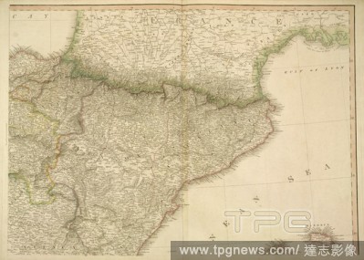
Editorial Map of France and Spain. Place names in bold: Aragon; Cataluna; Navarra; Soria; and, Cuenca. A new map of Spain and Portugal ... compiled by Jasper Nantiat. London : Published by W. Faden ... Charing Cross, Jan. 1st. 1810. 1 map on 4 sheets : hand col ...
- 2018-12-06
- 1
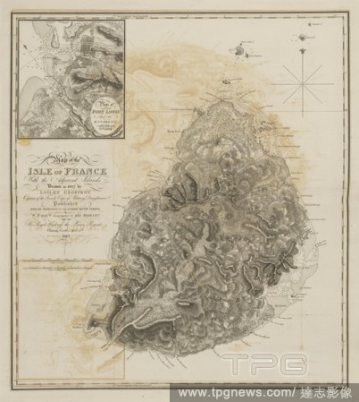
Editorial Isle of France. Map of the Isle of France, with the adjacent Islan. London : W. Faden, 1814. Source: Maps.K.Top.117-35,. Language: English.
- 2018-12-06
- 1

Editorial A map of Ireland. A new map of Ireland, civil and ecclesiastical. London : W. Faden, 1792. Source: Maps.*10805.(43),. Language: English.
- 2018-12-06
- 1
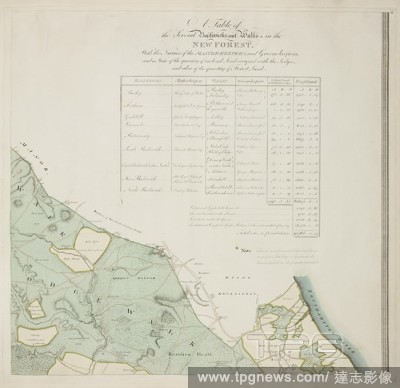
Editorial A detailed survey map of the New Forest, done on the orders of the Commissioners of the Land Revenue in 1789. Southampton county in England. . A Plan of His Majesty’s Forest called the New Forest. England 1789. A Plan of His Majesty’s Forest called...
- 2018-12-06
- 1

Editorial A topographical map of the county of Norfolk. A Topographical Map of the County of Norfolk. Surveyed and measured in the years 1790, 91, 92, 93 and 94, by T. Donald, T. Milne, and Assistants. Planned from a scale of one inch to a statute mile. [With Pl...
- 2018-12-06
- 1

Editorial A map of Trinidad. A New Map of the Island of Trinidad, made by order of His Excellency Sir Ralph Abercromby, K.B. ... Commander in Chief of the British Forces in the West Indies. London : W. Faden, 1st March, 1802. Source: Maps K.Top.123.122.a.8 TAB.E...
- 2018-12-06
- 1

Editorial Frontispiece for a survey of the New Forest. Taken by orders of the Commissioners of the Land Revenue. . A Plan of His Majesty’s Forest called the New Forest. England 1789. A Plan of His Majesty’s Forest called the New Forest, in the County of Sou...
- 2018-12-06
- 1
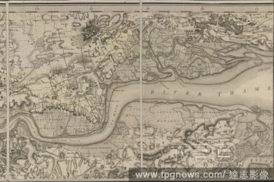
Editorial Map of south-east England. General Survey of England and Wales. An entirely new & accurate Survey of the County of Kent Done on the basis of the trigonometrical Surveys carried on under the direction of Capt. W. Mudge. Thos. Foot Engraver. Scale of mil...
- 2018-12-06
- 1
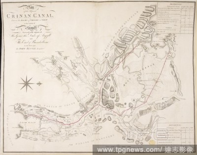
Editorial A plan of the proposed Crinan Canal, between the Lochs of Crinan and Gilp, in the county of Argyll . Plan of the Proposed CRINAN CANAL, between the LOCHS of CRINAN and GILP, in the County of Argyll. [London] : W. Faden, [1792.]. Source: Maps K.Top.48.7...
- 2018-12-06
- 1
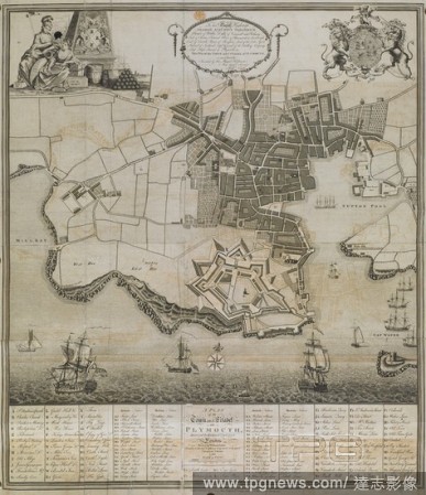
Editorial A Plan of the Town and Citadel of Plymouth. London : Faden, 1780. Source: Maps K.Top.11.83. Language: English.
- 2018-12-06
- 1
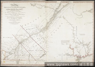
Editorial A New Map of the Province of Lower Canada. A New Map OF THE PROVINCE OF LOWER CANADA, Describing all the Seigneuries, Townships, Grants of Land, &c. Compiled from Plans deposited in the PATENT OFFICE QUEBEC... London : Published by WILLM. FADEN. Geogra...
- 2018-12-06
- 1
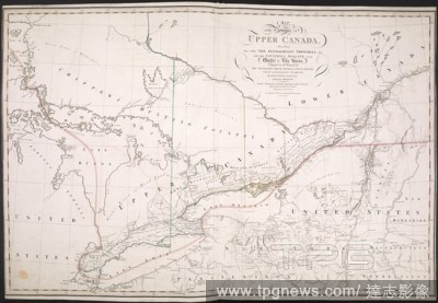
Editorial A map of the Province of Upper Canada. A Map of the Province of Upper Canada describing all the new settlements, townships, &c., with the countries adjacent, from Quebec to Lake Huron. London : W. Faden, April 12th, 1800. Source: Maps K.Top.119.13. Lan...
- 2018-12-06
- 1
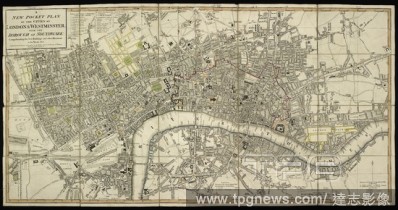
Editorial A plan of the cities of London and Westminster; with the borough of Southwark. A new pocket plan of the cities of London & Westminster; with the borough of Southwark, comprehending the new buildings and other alterations to the year 1801. London : Publ...
- 2018-12-06
- 1
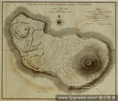
Editorial A map of the the Island of St. Eustatius (Sint Eustatius). The Island of St. Eustatius corruptly St. Eustatia ... by W. Faden. [Scale,] one English mile[ = 112 mm.]. London : W. Faden, 1795. Source: Maps K.Top.123.75. Language: English.
- 2018-12-06
- 1

Editorial A map of the Danish Island of St. Croix . A Map of the Danish Island St. Croix in the West Indies. London : W. Faden, 1809. Source: Maps K.Top.123.74. Language: English.
- 2018-12-06
- 2
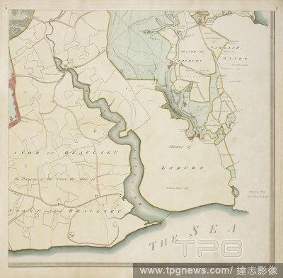
Editorial A detailed survey map of the New Forest, done on the orders of the Commissioners of the Land Revenue in 1789. Southampton county in England. . A Plan of His Majesty’s Forest called the New Forest. England 1789. A Plan of His Majesty’s Forest called...
- 2018-12-06
- 1

Editorial A map of the Island of St. Domingo or Hispaniola. Island of St. Domingo or Hispaniola. London : W. Faden, 1794. Source: Maps K.Top.123.36.2. Language: English.
- 2018-12-06
- 1
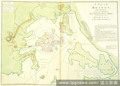
Editorial Boston and its Environs. The North American Atlas. London; Andrew Dury, Duke's Court, St. Martins Lan. Source: Maps.1.Tab.44.(17), 38-39.
- 2018-12-06
- 1
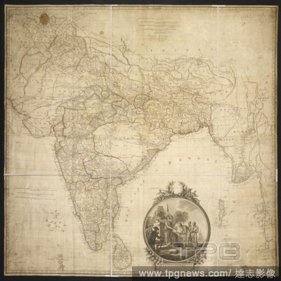
Editorial A map of Hindoostan. Hindoostan. By J. Rennell, F.R.S., 1782 ... The map engd. by J. Phillips. The writing by W. Harrison. 100 Geographical miles[ = 44 mm.]. (Memoir of a map of Hindoostanl; or the Mogul's Empire. With an examination of some positions ...
- 2018-12-06
- 1
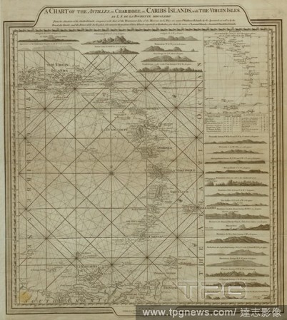
Editorial A chart of the Antilles, or Caribbean Islands, with the Virgin Islands. A Chart of the Antilles or Charibbee, or Caribs Islands; with the Virgin Isles. [London] : Faden, 1784. Source: Maps K.Top.123.68. Language: English.
- 2018-12-06
- 1
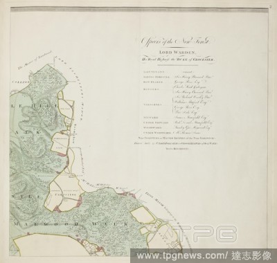
Editorial A detailed survey map of the New Forest, done on the orders of the Commissioners of the Land Revenue in 1789. Southampton county in England. . A Plan of His Majesty’s Forest called the New Forest. England 1789. A Plan of His Majesty’s Forest called...
- 2018-12-06
- 1
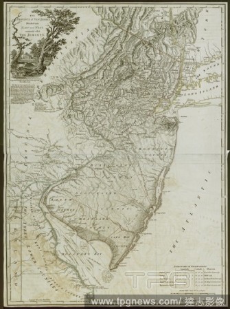
Editorial A map of the Province of New Jersey. THE PROVINCE of NEW JERSEY, Divided into EAST and WEST, commonly called THE JERSEYS. [London] : SECOND EDITION with considerable Improvements. Engraved & Published by WM. FADEN Charing Cross, December 1.st 1778. Sou...
- 2018-12-06
- 1
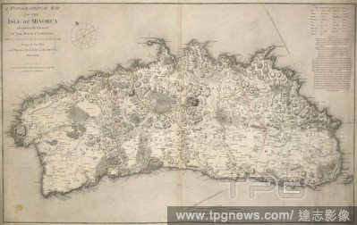
Editorial A topographical map of the Isle of Minorca. A topographical Map of the Isle of Minorca. London : Faden, 1780. Source: Maps K.Top.74.16.2 TAB. Language: English.
- 2018-12-06
- 1
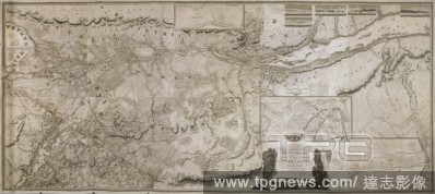
Editorial A topographical map of the Province of Lower Canada. To His Royal Highness GEORGE AUGUSTUS FREDERICK, Prince of Wales, Duke of Cornwall &c. &c. &c. and PRINCE REGENT of the United Kingdon of Great Britain & Ireland; This Topographical MAP of the Provin...
- 2018-12-06
- 1

Editorial A chart of the north west coast of America and the north east coast of Asia. Chart of the N. W. Coast of America and the N. E. Coast of Asia explored in the years 1778 and 1779. Prepared by Lieut. H. Roberts, under the immediate inspection of Capt. Coo...
- 2018-12-06
- 1
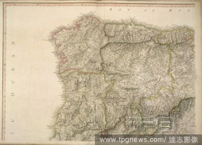
Editorial A map of Spain, with the following place names, in bold: Galicia; Asturias; Valladolid; Leon; Burgos; Iberia; Zamora; Salamanca and Segovia. A new map of Spain and Portugal ... compiled by Jasper Nantiat. London : Published by W. Faden ... Charing Cros...
- 2018-12-06
- 1
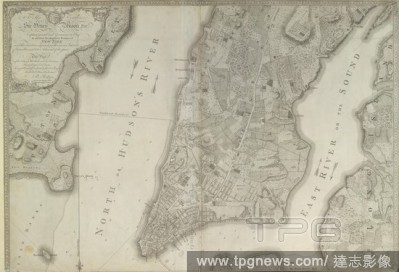
Editorial Plan of the City of New York ... surveyed in the years 1766 & 1767... A South West View of the City of New York, taken from the Government Island. . Plan of the City of New York, in North America: surveyed in the years 1766 & 1767. To His Excellency Si...
- 2018-12-06
- 1
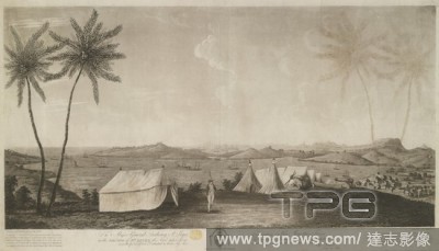
Editorial A British soldier carrying a rifle over his shoulder stands mounting guard by a tent under two palm trees on a hill in the foreground, with a drum, cannons and encampment beyond. The town of Carénage, ships on the bay, hills and forts in the backgroun...
- 2018-12-06
- 1
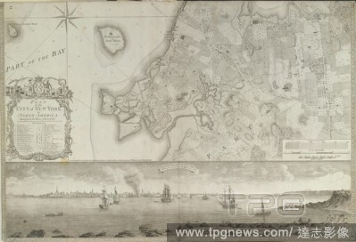
Editorial Plan of the City of New York, in North America: surveyed in the years 1766 & 1767... A South West View of the City of New York, taken from the Government Island. . Plan of the City of New York, in North America: surveyed in the years 1766 & 1767. To Hi...
- 2018-12-06
- 1
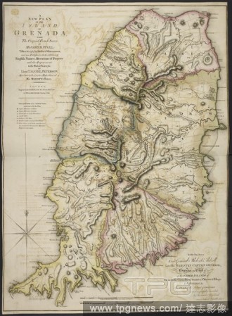
Editorial A new plan of the Island of Grenada . A New Plan of the Island of Grenada from the original French Survey of M. Pinel. Taken in 1763 by order of government, and now published with the addition of English names, alterations of property and other improve...
- 2018-12-06
- 1

Editorial A detailed survey map of the New Forest, done on the orders of the Commissioners of the Land Revenue in 1789. Southampton county in England. . A Plan of His Majesty’s Forest called the New Forest. England 1789. A Plan of His Majesty’s Forest called...
- 2018-12-06
- 1

Editorial A plan of the City and Environs of Philadelphia. A PLAN of the City and Environs of PHILADELPHIA. London : Publish'd according to Act of Parl.t March 12.th 1777 by W. Faden Successor to the late Mr. Jefferys Geographer to the KING Charing Cross, [March...
- 2018-12-06
- 1

Editorial A detailed survey map of the New Forest, done on the orders of the Commissioners of the Land Revenue in 1789. Southampton county in England. . A Plan of His Majesty’s Forest called the New Forest. England 1789. A Plan of His Majesty’s Forest called...
- 2018-12-06
- 1
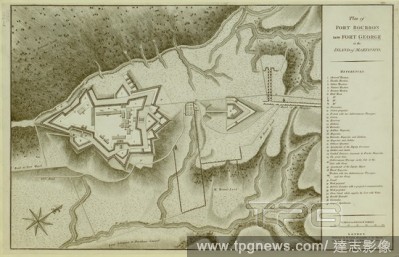
Editorial A plan of Fort Bourbon, now Fort George, on the Island of Martinique. Plan of Fort Bourbon now Fort George in the Island of Martinico. London : W. Faden, 1794. Source: Maps K.Top.123.104.1. Language: English.
- 2018-12-06
- 1
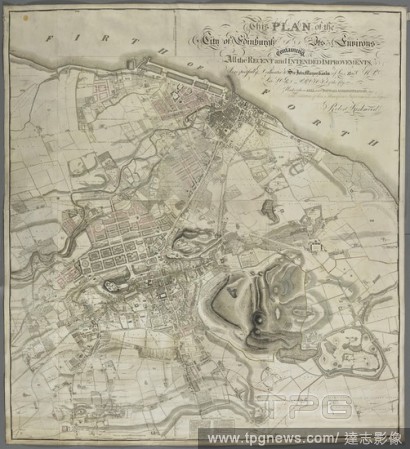
Editorial A plan of Edinburgh and its environs. This PLAN of the City of Edinburgh AND Its Environs containing All the RECENT and INTENDED IMPROVEMENTS, : Is respectfully Dedicated to Sir John Marjoribanks of Lees, Bar.t M.P. late Lord Provost of the City, under...
- 2018-12-06
- 1
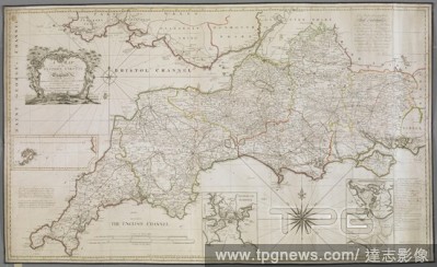
Editorial A map of the Western Circuit of England, containing the Counties of Cornwall, Devon, Dorset, Somerset, Wiltshire and Hampshire. A MAP of the WESTERN CIRCUIT OF England Containing the Counties of CORNWAL, DEVON, DORSET, SOMERSET, WILTS, & HANTS. Geo-hyd...
- 2018-12-06
- 1
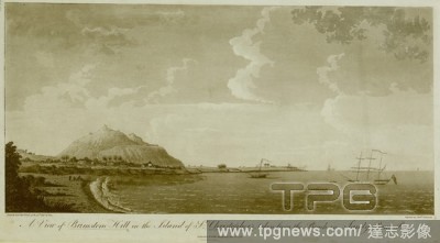
Editorial Waves breaking on the beach and fishermen in the foreground on the left, with sailing ships on the right and houses among palm trees at the foot of Brimstone Hill beyond; a fortress on top of the hill and the Caribbean Sea in the background. A View of ...
- 2018-12-06
- 1
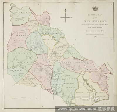
Editorial Index Map of a survey of the New Forest region in Southampton county in England. . A Plan of His Majesty’s Forest called the New Forest. England 1789. A Plan of His Majesty’s Forest called the New Forest, in the County of Southampton, laid down fro...
- 2018-12-06
- 2
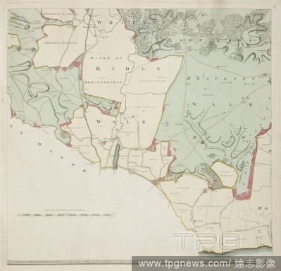
Editorial A detailed survey map of the New Forest, done on the orders of the Commissioners of the Land Revenue in 1789. Southampton county in England. . A Plan of His Majesty’s Forest called the New Forest. England 1789. A Plan of His Majesty’s Forest called...
- 2018-12-06
- 1
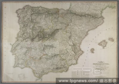
Editorial A new map of Spain and Portugal. A new Map OF SPAIN AND PORTUGAL, EXHIBITING The Chains of Mountains With their Passes THE PRINCIPAL & CROSS ROADS, WITH OTHER DETAILES requisite for the Intelligence of Military Operations. London : Published by W. Fade...
- 2018-12-06
- 1
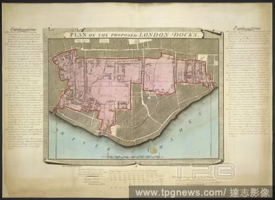
Editorial London Docks. Plan of the proposed London Docks, from a survey b. 1799. A plan of the proposed London Docks. Image taken from Plan of the proposed London Docks, from a survey by Daniel Alexander, 1796; engraved by W. Faden, in 1797, on a scale of 240 ...
- 2018-12-06
- 1
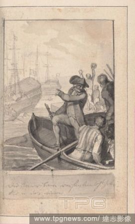
Editorial Allgemeines historisches Taschenbuch, oder Abriss der merkw?rdigsten neuen Welt-Begebenheiten: enthaltend f?r 1784 die Geschichte der Revolution von Nord-America [General historical pocketbook, summarizing noteworthy world news of 1784, with a History ...
- 2018-08-08
- 1
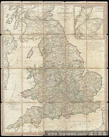
Editorial 1790, Faden Map of the Roads of Great Britain or England.
- 2018-08-06
- 1
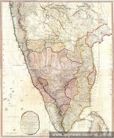
Editorial 1793, Faden Wall Map of India.
- 2018-08-03
- 1
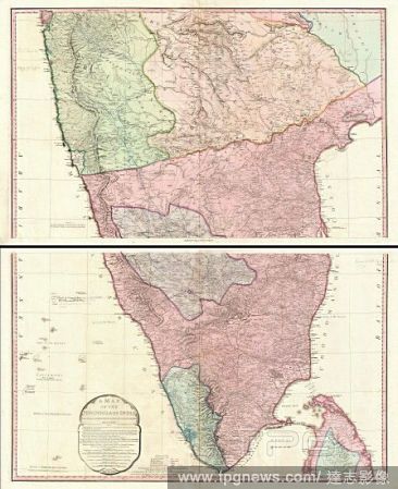
Editorial 1800, Faden Rennell Wall Map of India.
- 2018-08-03
- 1

Editorial Map of the Province of New York, 1776, Made in London, England, Ink on paper mounted on canvas, 29 11/16 x 24 3/4 in. (75.4 x 62.9 cm), Natural Substances, William Faden the Younger (British, London 1749?1836 Shepperton).
- 2018-08-02
- 1
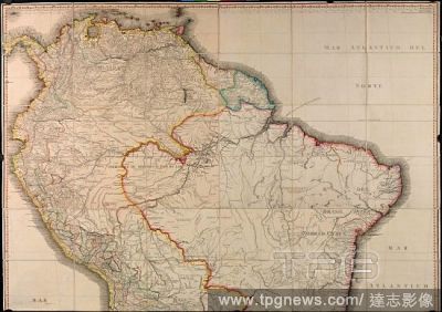
Editorial MAPA GEOGRAFICO DE AMERICA MERIDIONAL - 1799.
- 2018-07-23
- 2
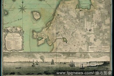
Editorial MAPA DE NUEVA YORK - 1767 - Escala 1:10.000 (PARTE IZQUIERDA).
- 2018-07-23
- 2

Editorial A Plan of Boston, and its Environs, showing the position of the British forces and the Rebel American forces. Drawn by an Engineer at Boston. Oct[obe]r 1775. From "The North American Atlas" by William Faden. Illustratons by John Lodge. London; 17...
- 2018-07-02
- 1
 Loading