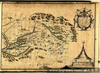
EditorialKaart van het stroomgebied van de rivieren Rio Agueda en Rio Coa, ca. 1701-1715. Plan de Situations des Rivieres de Coa, Agueda (...) (title on object). Draughtsman: Samuel Du Ry de Champdor?. Dating: 1701 - 1715. Place: Netherlands. Measurements: h 34...
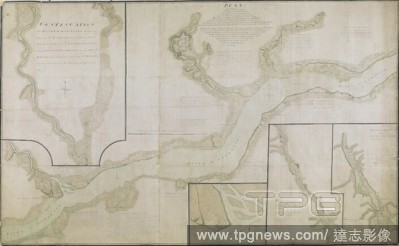
EditorialA plan of part of Canada and the St. Lawrence River which lies between Dechambeaux and Pointe du Lac. The map includes four inset plans; a continuation of the Chaudière River at upper left, two further continuations at lower right, and also an inset p...


 Loading