filter
-
Brand
- By Category
- Direction
- Date Range
83Events
Pictures
Events
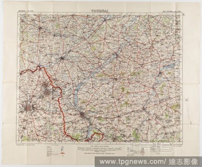
Editorial Maps - Military, Belgium, Tournai, Scale 1:100,000, 1912, Two large folded maps, identical content, titled 'Tournai 5', Belgium, scale 1/100,000. They were printed for the Geographical Staff, General Staff, number 2364, and were 'Photo-etched at the Or...
- 2020-01-15
- 1
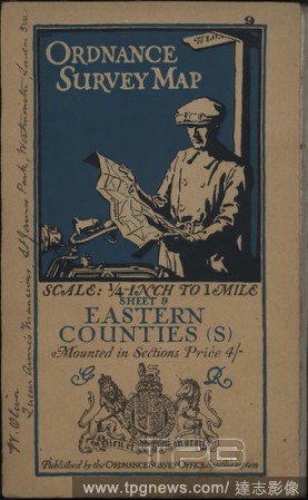
Editorial Map - 'Ordnance Survey Map, Eastern Counties (S)', Southampton, England, 1911, 'Ordnance Survey Map, Eastern Counties (S)' is a map published by the Ordance Survey Office in Southampton, England, of the Eastern Counties of England including Suffolk, Es...
- 2020-01-15
- 1

Editorial Map - Military, Belgium, Antwerp 3, Scale 1:100,000, 1912, Military map, Belgium, Antwerp, 3 scale 1:100,000. Labelled 'Georgaphical Section General Staff no. 2364', the map was photo-etched at the Ordnance Survey Office, Southampton, England, in 1911,...
- 2020-01-15
- 1
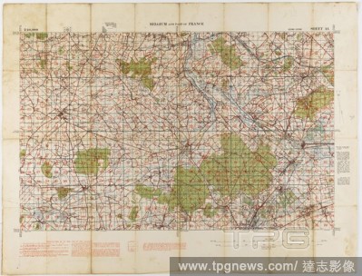
Editorial Map - Military, Belgium & France, Sheet 44, Scale 1:40,000, Edition 3, 1915, World War I map of Belgium and France, sheet 44, edition 3, 1:40,000. It was printed by (or for) the Ordnance Survey Office, and is dated 1915.
- 2020-01-15
- 1
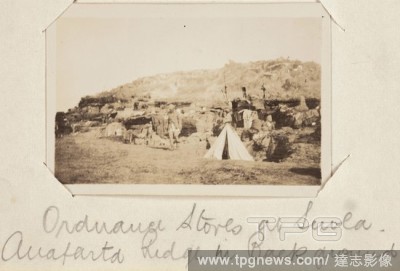
Editorial Photograph - 'Ordnance Stores at Suvla', Gallipoli, Private John Lord, World War I, 1915, Black and white photographic print depicting the ordnance store at Suvla, Gallipoli. Attached to a small notebook used as a photograph album, containing 55 black ...
- 2020-01-15
- 1
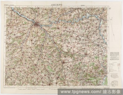
Editorial Map - Military, France, Amiens 17, Scale 1:100,000, Edition 2, World War I, 1 Oct 1916, World War I military map of Amiens, Sheet 17, France, scale 1:100,000, edition 2, published by the War Office in October 1915 from a 1915 Ordnance Survey, with 'min...
- 2020-01-15
- 1
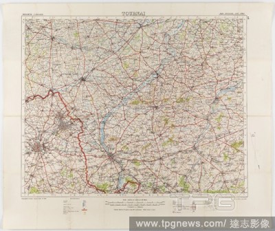
Editorial Map - Military, Belgium, Tournai 5, Scale 1:100,000, World War I, Jul 1912, Map of Belgium - Sheet Tournai, 5, scale 1:100,000. The map was photo-etched at the Ordnance Survey Office, Southampton, in 1912, and was published by the War Office, July 1912...
- 2020-01-15
- 1
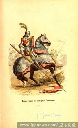
Editorial Man of arms of ordnance companies. 1445, Member of the Order Company, Signed: F. Philippoteaux; Deghouy, Fig. 10, after p. 840, Philippoteaux, F?lix (fec.); Deghouy, L?opold (sc.), Adrien Pascal, Camp, Jules du Camp, Germain-Nicolas Brahaut, Sicard, Ph...
- 2020-01-15
- 1

Editorial Captured Ordnance, Captured ordnance, Lantaka, Bronze front loader on target. The round barrel has a trumpet-shaped mouth and the rear part is thicker. Hollow tail for a wooden guide stick. A square button for a sun-hole cover on either side of the sun...
- 2019-12-19
- 1

Editorial Captured Ordnance Captured ordnance Swivel Gun, Bronze front loader aiming. The barrel is encased in two pieces of bamboo from the mouth to the sun-hole and completely covered with rattan. The round barrel has a trumpet-shaped mouth and the rear part i...
- 2019-12-19
- 1
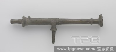
Editorial Captured Ordnance Captured ordnance Bronze lilla on movable spindle, Bronze lilla on movable spindle. The dolphins have been demolished. Simple visor device. The barrel, the lower half of which is octagonal, is adorned with a triangular ray-shaped orna...
- 2019-12-18
- 1
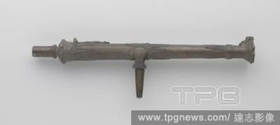
Editorial Captured Ordnance Captured ordnance Bronze lilla on movable spindle, Bronze lilla on movable spindle, The sighting device differs. A dolphin has been placed at the mouth for this and a lizard at the sun hole. The dolphins on the pivot are broken. The a...
- 2019-12-18
- 1
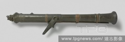
Editorial Captured Ordnance Captured ordnance Lantaka, Lilla, bronze front loader. The round barrel has a trumpet-shaped mouth and the rear part is thicker, the barrel is covered with rattan in three places. The hollow tail for a wooden guide stick has largely b...
- 2019-12-18
- 1

Editorial Captured Ordnance Captured ordnance Lantaka, Bronze front loader aiming. The round barrel has a mouth in the shape of a dragon head with open mouth, the upper jaw longer than the lower jaw, an ornament on the dragon's head. The transitions from dragon ...
- 2019-12-18
- 1

Editorial Manual of instruction in ordnance and gunnery for the U.S. Naval Training Service : United States. Bureau of Naval Personnel.
- 2019-12-18
- 1

Editorial Captured Ordnance, Captured ordnance, Gun, Bronze front loader, European type. The barrel has a wreath-shaped mouth, first, second and highest jewelery bands, and bands at the mouth and in front of the highest jewelery band, and two thin and two thick ...
- 2019-11-19
- 1
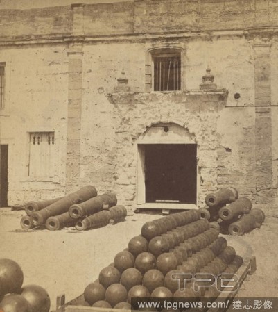
Editorial Fort Marion, Interior, showing Entrance to Chapel, and Heavy Ordnance, St. Augustine., Wilson & Havens, 1880s, Albumen silver print.
- 2019-11-19
- 1

Editorial The Ordnance Wharf, Balaklava. Roger Fenton; English, 1819-1869. Date: 1855. Dimensions: 20.8 ? 24.8 cm (image/paper); 41.7 ? 53 cm (mount). Salted paper print, from the album "Photographic Pictures of the Seat of War in the Crimea" (1856). Origin: Eng...
- 2019-11-19
- 1

Editorial Landing Place, Ordnance Wharf, Balaklava. Roger Fenton; English, 1819-1869. Date: 1855. Dimensions: 27.9 ? 36.7 cm (image/paper); 40.3 ? 53.2 cm (mount). Salted paper print, from the album "Photographic Pictures of the Seat of War in the Crimea" (1856)...
- 2019-11-19
- 1
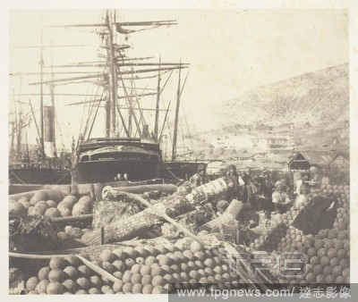
Editorial The Ordnance Wharf, Balaklava. Roger Fenton; English, 1819-1869. Date: 1855. Dimensions: 20.8 ? 24.8 cm (image/paper); 41.7 ? 53 cm (mount). Salted paper print, from the album "Photographic Pictures of the Seat of War in the Crimea" (1856). Origin: Eng...
- 2019-11-19
- 1
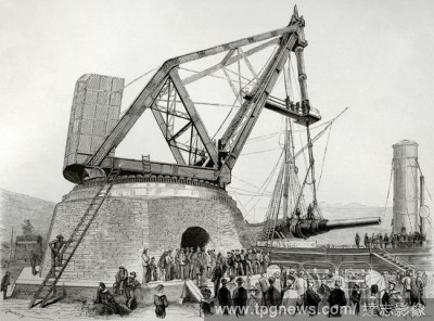
Editorial Italy. Port of Spezia. Italian Navy. Assembly of the huge 100-ton Armstrong cannon on the battleship "Duilio". A large crane designed by an engineer from Elswick Ordnance Company, founded by William Armstrong in 1847, had to be built in order to instal...
- 2019-11-18
- 1
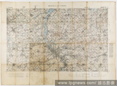
Editorial Map - Military, Belgium & France, Sheet 37, Scale 1:40,000, Edition 3, Mar 1917, Map of Belgium and part of France, Ordnance Survey Sheet 37, Scale 1:40,000, Edition 3, March 1917. The back of the map provides common military-related French words and t...
- 2019-11-18
- 1
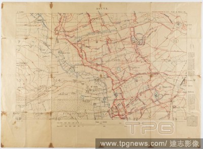
Editorial Map - Military, Trench, France, Douve, Sheet 28, Scale 1:5,000, World War I, May 1917, Alternative Name(s): Military Map Ordnance Survey trench map, Douve, France, World War I, dated May 1917. Part of sheet 28. Scale 1:5,000. Trenches corrected to 1:4:...
- 2019-11-18
- 1
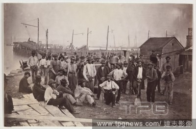
Editorial Laborers at Quartermaster's Wharf, Alexandria, Virginia.
- 2019-11-18
- 1
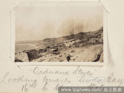
Editorial Photograph - 'Ordnance Stores', Gallipoli, Turkey, Private John Lord, World War I, 1915, Black and white photographic depicting the Ordnance Store of a camp with Suvla Bay in the background. Attached to a small notebook used as a photograph album, cont...
- 2019-11-18
- 1
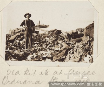
Editorial Photograph - 'Old Kit' at 'Anzac Ordnance Stores', Gallipoli, Private John Lord, World War I, 1915, Black and white photographic print depicting 'old kit' at an ordnance store in Gallipoli. This possibly is a reference to the belongings of those killed...
- 2019-11-18
- 1
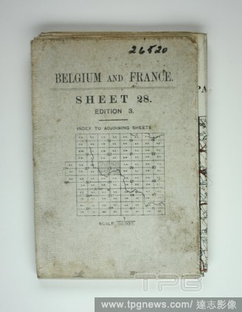
Editorial Map - Military, Belgium & France, Sheet 28, Scale 1:40,000, Edition 3, World War I, Nov 1917, Large folded map entitled 'Belgium & France', Sheet 28, Ordnance Survey, November 1917. The map includes Ypres and Glencorse Wood, where one of the soldiers r...
- 2019-11-18
- 1

Editorial Landing Place, Ordnance Wharf, Balaklava. Roger Fenton; English, 1819-1869. Date: 1855. Dimensions: 27.9 ? 36.7 cm (image/paper); 40.3 ? 53.2 cm (mount). Salted paper print, from the album "Photographic Pictures of the Seat of War in the Crimea" (1856)...
- 2019-04-16
- 1
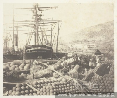
Editorial The Ordnance Wharf, Balaklava. Roger Fenton; English, 1819-1869. Date: 1855. Dimensions: 20.8 ? 24.8 cm (image/paper); 41.7 ? 53 cm (mount). Salted paper print, from the album "Photographic Pictures of the Seat of War in the Crimea" (1856). Origin: Eng...
- 2019-04-01
- 1
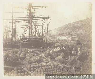
Editorial The Ordnance Wharf, Balaklava. Roger Fenton; English, 1819-1869. Date: 1855. Dimensions: 20.7 ? 25.3 cm (image/paper); 42.5 ? 58.9 cm (mount). Salted paper print, plate 25 from the album "Photographs Taken in the Crimea" (1856). Origin: England.
- 2019-03-18
- 2
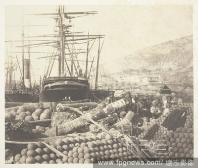
Editorial The Ordnance Wharf, Balaklava. Roger Fenton; English, 1819-1869. Date: 1855. Dimensions: 20.8 ? 24.8 cm (image/paper); 41.7 ? 53 cm (mount). Salted paper print, from the album "Photographic Pictures of the Seat of War in the Crimea" (1856). Origin: Eng...
- 2019-03-18
- 1
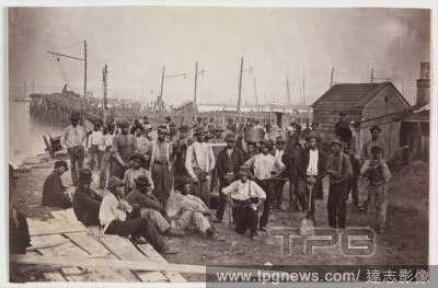
Editorial Laborers at Quartermaster's Wharf, Alexandria, Virginia.
- 2019-02-15
- 1

Editorial Prototype for Helmet Model No. 2.
- 2019-02-15
- 1

Editorial Hill sketch. [Ordnance Survey hill sketches]. [London] : [Ordnance Survey] , [1819-37]. Source: Maps.176.o., no.45. Language: English.
- 2019-01-23
- 1

Editorial Chatham. A colored plan of the intrenchment inclosing his M. 1756. Plan of the dock-yard and wharf at Chatham. Image taken from A colored plan of the intrenchment inclosing his Majesty's Dock-yard and Ordnance Wharf at Chatham, surveyed by Hugh Debbie...
- 2019-01-23
- 1

Editorial Map of post Jacobean Scotland in 1755, 10 years after the Battle of Culloden. The land of Culloden and Inverness. A very large and highly finished colored military survey of the kingdom of Scotland, exclusive of the islands, undertaken by order of Will...
- 2018-12-06
- 1
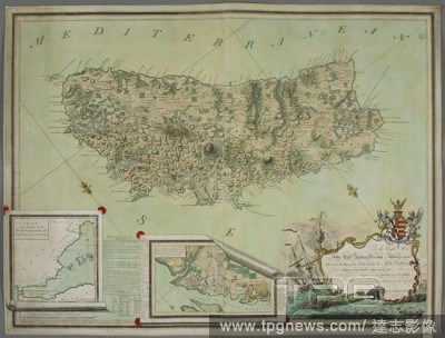
Editorial A plan of Minorca. To the Right Honble. John Earl Spencer, Viscount Althorpe, &c. &c. &c This General Plan of the ISLAND OF MINORCA, From an Actual Survey taken on the Spot. London : Published according to Act of Parliament 1st. Feby. 1780, by Francis ...
- 2018-12-06
- 1

Editorial A map produced during the Second World War, showing Vire, in the Basse-Normandie region, northwestern France. France 1:50,000. War Office. General staff. Geographical section. [London] : Ordnance Survey, 1942. Source: Maps MOD GSGS 4250. Sheet 6F/6. Su...
- 2018-12-06
- 1
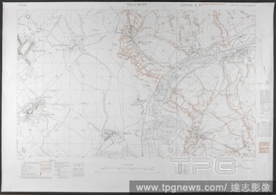
Editorial First world war trench map of Beaumont area, 1916. Scale 1; 10,000. (Trench map). Ordnance survey, 1916. Source: Maps.C.14.h-k, edition 20.
- 2018-12-06
- 1
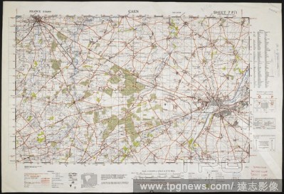
Editorial Map showing Caen and surrounding area, dated 1942. France 1:50,000 , Series GSGS 4250. [London] : Ordnance Survey, 1942. col.; Scale 1:50 000. Source: Maps MOD GSGS 4250.
- 2018-12-06
- 1
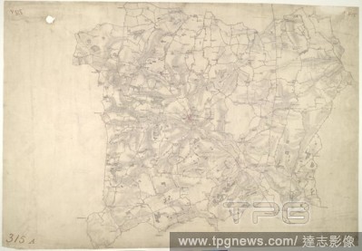
Editorial Stow Market. This is a plan of the Gipping Valley in Suffolk. The circular hole in the top left-hand margin indicates that an 'Ordnance Office Copy' blind stamp has been removed from the manuscript. The die has cut through the paper causing the stamp t...
- 2018-12-06
- 1
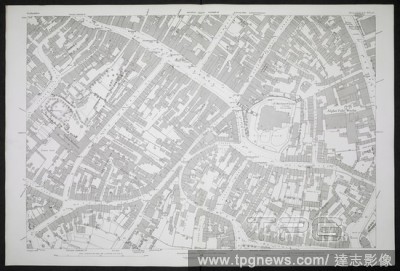
Editorial A plan of Walsall. (Ordnance Plan of the Town of Walsall.) Scale, 1 : 500 or 10.56 feet to 1 mile. 31 Sheets and Index). Southampton, 1885-1886. Source: Maps O.S.T.(154.), sheet LXIII.11.6. Language: English.
- 2018-12-06
- 1

Editorial A map of Ireland. Ordnance Survey of Ireland. Scale, ten statute miles to one inch. Dublin : Ordnance Survey Office, 1868. Source: Maps 10805.(78.). Language: English.
- 2018-12-06
- 1
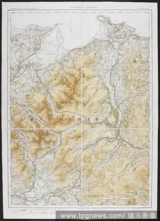
Editorial A tourist map of the Snowdon district. Ordnance Survey of England and Wales. Snowdon district. Tourist Map. Scale of one inch to one statute mile = 1 : 63,360. Southampton : Ordnance Survey Office, 1920. Source: Maps 6440.(2.). Language: English.
- 2018-12-06
- 1

Editorial Peking and environs. Peking and environs from the German staff map of 1. Southampton : Ordnance Survey, 1909. Peking and environs. Image taken from Peking and environs from the German staff map of 1907 with additions, G.S.G.S. No. 2417. Originally pu...
- 2018-12-06
- 1

Editorial A plan of part of Manchester. Ordnance Plan of Manchester and Salford. Scale, 1 : 500 or 10.56 feet to one mile. 1891. Source: Maps OST.215, sheet CIV.6.19. Language: English.
- 2018-12-06
- 1

Editorial A coloured plan of the intrenchment enclosing his Majesty's Dockyard and the Ordnance Wharf at Chatham. 1756. a scale of 400 feet to an inch. Source: Maps K.Top.16.40. Language: English.
- 2018-12-06
- 1
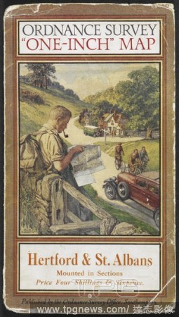
Editorial Cover of Hertford & St. Albans tourist map, showing a rambler reading a map. Hertford & St. Albans: tourist map. Southampton Ordnance Survey, 1931. Source: Maps.209.d.3.(43), cover. Language: English.
- 2018-12-06
- 1
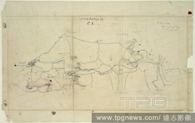
Editorial Hill sketch. [Ordnance Survey hill sketches]. [London] : [Ordnance Survey] , [1819-37]. Source: Maps.176.o., no.45. Language: English.
- 2018-12-06
- 1

Editorial Plan of the Tower of London from a drawing made between 1681 and 1689, by order of Lt. Dartmouth of the Ordnance. London, 1815. Source: Maps.Crace.8.44, plate XXXIX. Language: English.
- 2018-12-06
- 1
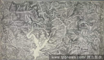
Editorial An accurate survey and measurement of Plymouth and Dock towns, with their fortifications, and the adjacent country. An accurate survey and measurement of Plymouth and Dock towns, with their fortifications, and the adjacent country; surveyed by order of...
- 2018-12-06
- 1
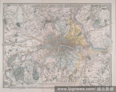
Editorial Coloured map of London covering Essex, Middlesex, and part of Kent and Surrey. London and its environs : containing the boundaries of the metropolitan boroughs, the different railroads & stations, the new cemeteries, roads, docks, canals, and all moder...
- 2018-12-06
- 1
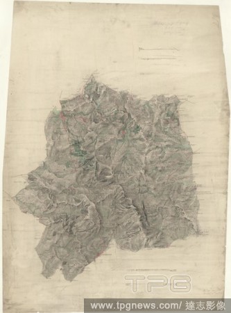
Editorial Stourbridge. This plan covers parts of Worcestershire and Warwickshire. Hills and reliefs are illustrated by a combination of brushwork interlining ('hachures'), layering of colour washes and the use of aerial perspective. Tollroads are highlighted in ...
- 2018-12-06
- 1
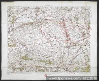
Editorial A map of Salisbury Plain, Wiltshire. Salisbury Plain. [Southampton] : [Ordnance Survey Office], [1914]. Source: Maps 5710.(63.). Language: English.
- 2018-12-06
- 1
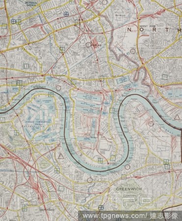
Editorial A secret map of London: contingency planning for the general strike. The County of London, G.S.G.S. no. 3786A. Southampton : Ordnance Survey Office, 1926. Source: Maps CC.5.a.170, sheet 2. Language: English.
- 2018-12-06
- 1

Editorial View of Stonehenge in Wiltshire, taken by the Ordnance Survey under the supervision of Colonel Sir Henry James. This view includes a portrait of James in frock coat and top hat sitting on a fallen megalith. Ordnance Survey Department, under Colonel Sir...
- 2018-12-06
- 2
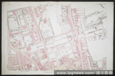
Editorial A zincographic map of Guildford. [Ordnance Plan of the Town of Guildford, Surrey.] Scale, 1 : 500, or 10.56 Feet to one Mile. Southampton, [1871]. Source: Maps O.S.T.(48.), sheet XXIII.16.19. Language: English.
- 2018-12-06
- 1
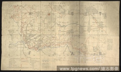
Editorial Trench map, Montauban. A section of the front on the first day of the Somme. 'This particular map was prepared for the 1 July offensive, for the section or platoon commanders in 30th Division battalions on the extreme right of the British attack.' ... ...
- 2018-12-06
- 1
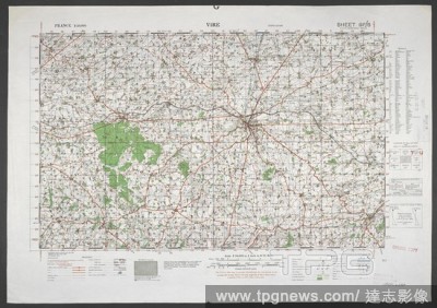
Editorial A map produced during the Second World War, showing Vire, in the Basse-Normandie region, northwestern France. France 1:50,000. War Office. General staff. Geographical section. [London] : Ordnance Survey, 1942. Source: Maps MOD GSGS 4250. Sheet 6F/6. 'U...
- 2018-12-06
- 1

Editorial A map of Birmingham and the surrounding area. Ordnance Survey ... Birmingham ... Scale of one inch to one statute mile. Southampton, 1900. Source: Maps 5543.(5.). Language: English.
- 2018-12-06
- 1

Editorial A plan of Stockton-on-Tees . (Ordnance Plan of the Town of Stockton-on-Tees. Scale, 1 : 500, or 10.56 feet to one mile). Southampton, 1893. Source: Maps O.S.T.(232.), sheet L.12.18. Language: English.
- 2018-12-06
- 1
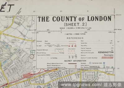
Editorial A secret map of London: contingency planning for the general strike. The County of London, G.S.G.S. no. 3786A. Southampton : Ordnance Survey Office, 1926. Source: Maps CC.5.a.170, sheet 2. Language: English.
- 2018-12-06
- 1
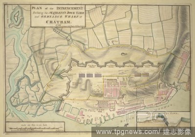
Editorial Chatham. A colored plan of the intrenchment inclosing his M. 1756. Plan of the dock-yard and wharf at Chatham. Image taken from A colored plan of the intrenchment inclosing his Majesty's Dock-yard and Ordnance Wharf at Chatham, surveyed by Hugh Debbie...
- 2018-12-06
- 1
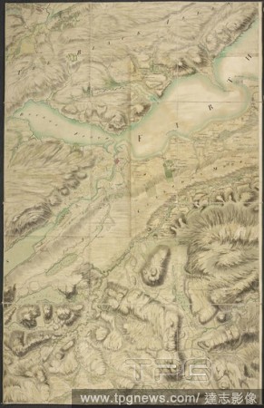
Editorial Map of post Jacobean Scotland in 1755, 10 years after the Battle of Culloden. The land of Culloden and Inverness. The Roy Map of Scotland. A very large and highly finished colored military survey of the kingdom of Scotland, exclusive of the islands, un...
- 2018-12-06
- 1
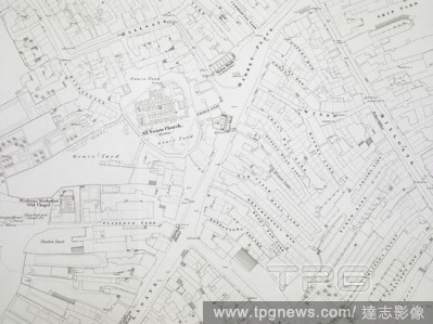
Editorial The engraving of 1:1056 scale mapping was authorised in December 1846, and Wigan was the first town to be completed in 1848 . Ordnance Survey of Wigan 5 feet to a mile. Southampton, 1848. Source: Maps O.S.T.(100.), sheet 5. Language: English.
- 2018-12-06
- 1

Editorial Ordnance, Sergeant. Dated: 1866. Dimensions: image: 20.2 x 15 cm (7 15/16 x 5 7/8 in.) mount: 33.7 x 25.5 cm (13 1/4 x 10 1/16 in.). Medium: albumen print.
- 2018-11-21
- 1

Editorial Ordnance, Sergeant. Dated: 1866. Dimensions: image: 20.2 x 15 cm (7 15/16 x 5 7/8 in.) mount: 33.7 x 25.5 cm (13 1/4 x 10 1/16 in.). Medium: albumen print.
- 2018-09-18
- 1

Editorial Captured ordnance. Netherlands, 1667 and Southeast Asia, c. 1750-1850. Bronze, cane and bamboo. Rijksmuseum. Amsterdam. Holland.
- 2018-08-21
- 1
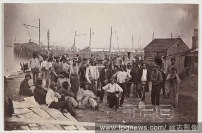
Editorial Laborers at Quartermaster's Wharf, Alexandria, Virginia.
- 2018-08-06
- 1
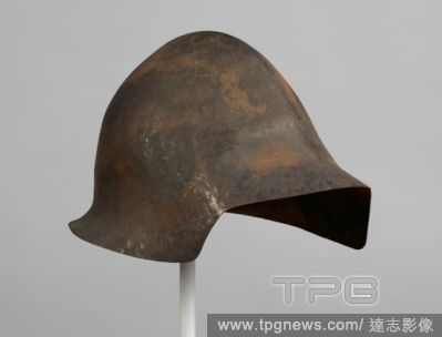
Editorial Prototype for Helmet Model No. 2.
- 2018-08-06
- 1
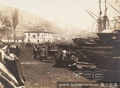
Editorial Landing Place, Ordnance Wharf, Balaklava, 1855, Salted paper print from glass negative, Image: 26 x 35.1 cm (10 1/4 x 13 13/16 in.), Photographs, Roger Fenton (British, 1819?1869), The Crimean War (1853-56) pitted European nations against an expansioni...
- 2018-08-03
- 1
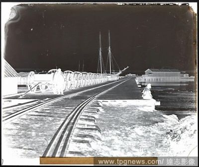
Editorial Ordnance Wharf, City Point, Virginia, 1865, Collodion glass negative, Image: 21.6 ? 25.6 cm (8 1/2 ? 10 1/16 in.), Negatives, Thomas C. Roche (American, 1826?1895), Like their military counterparts, Civil War field photographers had to carry all their ...
- 2018-08-03
- 1

Editorial Ordnance, Private, 1866, Albumen silver print from glass negative, Image: 20.2 x 15 cm (7 15/16 x 5 7/8 in.), Photographs, Attributed to Oliver H. Willard (American, active 1850s?70s, died 1875), This hand-colored portrait provides a good look at the c...
- 2018-08-02
- 1
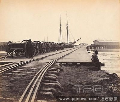
Editorial [Ordnance Wharf, City Point, Virginia], 1865, Albumen silver print from glass negative, Image: 21.7 x 25.5 cm (8 9/16 x 10 1/16 in.), Photographs, Thomas C. Roche (American, 1826?1895), Very little is known of the early career of Thomas C. Roche. Durin...
- 2018-08-02
- 1

Editorial The Ordnance Wharf, Balaklava.
- 2018-08-02
- 1

Editorial Ordnance ya[rd], Morris Island, near Charleston, S.C., US, USA, America, Vintage photography.
- 2018-07-27
- 1

Editorial A vieu of Plymouth, engraving 1780, Lord Amherst, Lieutenant General of the Ordnance, wearing military uniform, looking into a peepshow for a view of the progress of the war in America. As Jeffery looks, the showman says, There you see cannons without ...
- 2018-07-27
- 1
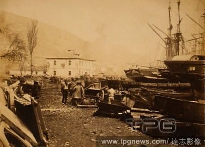
Editorial Landing place, Ordnance Wharf, Balaklava, Genoese Castle, Crimean War, 1853-1856, Roger Fenton historic war campaign photo.
- 2018-07-27
- 1

Editorial THE ORDNANCE OFFICE, PALL MALL, 1850. London, UK, 19th century engraving.
- 2018-07-27
- 1

Editorial Ordnance Depot at Broadway Landing, US, USA, America, Vintage photography.
- 2018-07-27
- 1

Editorial Captured ordnance. Netherlands, 1667 and Southeast Asia, c. 1750-1850. Bronze, cane and bamboo. Rijksmuseum. Amsterdam. Holland.
- 2018-07-26
- 1
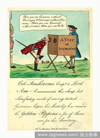
Editorial A vieu of Plymouth, engraving 1780, Lord Amherst, Lieutenant General of the Ordnance, wearing military uniform, looking into a peepshow for a view of the progress of the war in America. As Jeffery looks, the showman says, There you see cannons without ...
- 2018-07-25
- 1

Editorial FASCINE BATTERY, AND TURKISH ORDNANCE, AT SINOPE.
- 2018-07-25
- 1
 Loading