filter
-
Brand
- By Category
- Direction
- Date Range
1,040Events
Pictures
Events
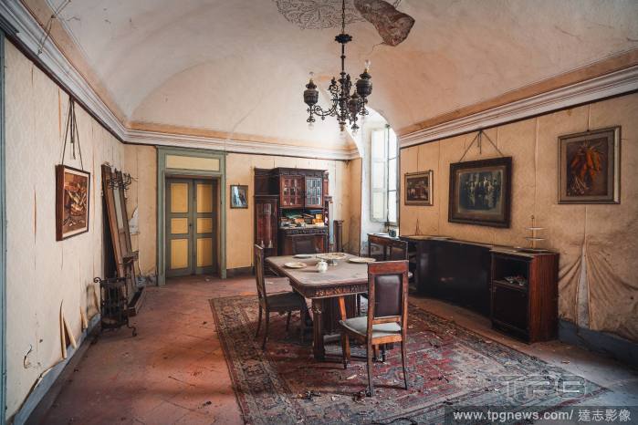
Editorial EXCLUSIVE: Photographer discovers abandoned ?time capsule? villa untouched for 100 years
- 2023-10-04
- 14

Editorial Huge windfall at Brady Bunch auction featuring Eve Plumb memorabilia as 78 lots sell and exceed original estimates
- 2023-10-04
- 9
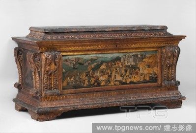
Editorial Cassone with painted front panel depicting the Conquest of Trebizond.
- 2020-03-02
- 1
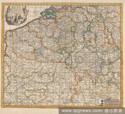
Editorial Map of the Southern (Spanish) Netherlands, Nova et accurata Belgium hispanici galliciq [ue] tabula / denuo bene correcta in partes perfect divisa et in lucem (title on object), Map of the Southern (Spanish) Netherlands. Top left the title with five put...
- 2020-01-15
- 1

Editorial Map of Japan Carte des Isles du Japon (title on object), Print upper right marked: Pag. 1. Tom. III, maps of separate countries or regions, Japan, Jan Luyken, Amsterdam, 1681, paper, etching, h 220 mm ? w 325 mm.
- 2020-01-15
- 1
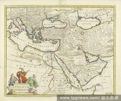
Editorial Map of the Turkish Empire, Tvrcicvm imperivm (title on object), Map of France (top left) up to and including half Iran, yellow borders, colored borders, cartouche with inscription below left surrounded by three Eastern dignitaries and two white (Europe...
- 2020-01-15
- 1

Editorial Map of the Republic of the Seven United Netherlands, the Caerte Country of the United Netherlands, with the rest of the subject, divided into syn Provincia / Exactissima Belgium Foederati Tabula cum annexis divisa in Provincias .., Map of the Republic ...
- 2020-01-15
- 1

Editorial Map of Coromandel, Coromandel / par le Sr d'Anville (title on object), Map of the coast of Coromandel from mo Nega-Patnam to r.b. Narsapur, l.o. scale in French miles, nautical miles, regular Coss, large Coss and miles from Malabar. (Coss is an Indian ...
- 2020-01-15
- 1

Editorial Map of the Water Board of Schieland The Water Board of Schieland (title on object), Map of the Water Board of Schieland. Along the top the title. Top left a cartouche with information. To the right of it is the arms of the water board. Bottom right a s...
- 2020-01-15
- 1
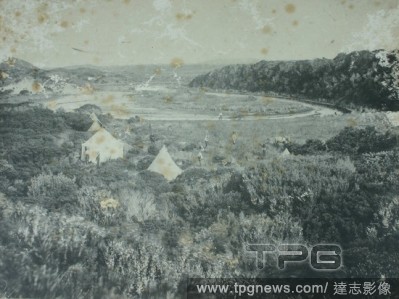
Editorial Photograph - Headquarters & Camp, King Island, 1887, One of thirty-two black and white photographs in an album [two are loose] taken by A J Campbell during a Field Naturalists' Club of Victoria expedition to King Island. The album also includes maps of...
- 2020-01-15
- 1
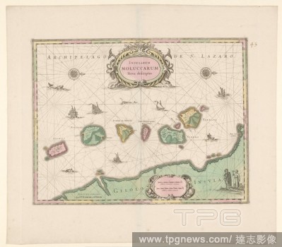
Editorial Map of the Northern Moluccas, Insularum Moluccarum Nova descriptio (title on object), Map of six islands of the northern Moluccas and one part of a larger island 'Gilolo' (Halmahera). Center cartouche with title and two fishes, cartouche with two bowls...
- 2020-01-15
- 1
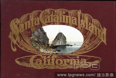
Editorial Booklet - 'Santa Catalina Island, California', California, U.S.A., 1911, 'Santa Catalina Island, California' is a booklet published by Newman Post Card Co. in California, U.S.A. in 1911. It contains colour images of Santa Catalina Island. This is one o...
- 2020-01-15
- 2
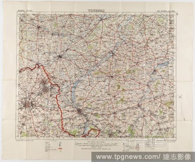
Editorial Maps - Military, Belgium, Tournai, Scale 1:100,000, 1912, Two large folded maps, identical content, titled 'Tournai 5', Belgium, scale 1/100,000. They were printed for the Geographical Staff, General Staff, number 2364, and were 'Photo-etched at the Or...
- 2020-01-15
- 1
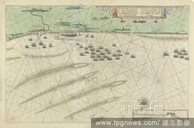
Editorial Map of the Flemish coast between Dunkirk and Grevelingen, Image of the dismantled see harbor and the town of Duynkercken with the surrounding plains of sanden ende droocht / Pourtraict de la fameuse ville et havre de Duynckercke and places voisines, sa...
- 2020-01-15
- 1
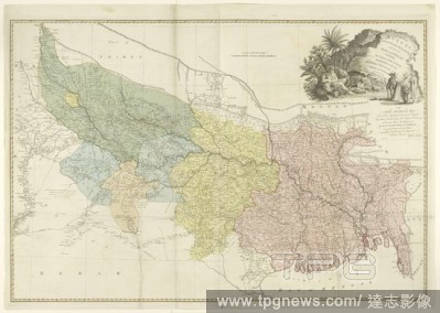
Editorial Map of the catchment area of the Ganges A map of Bengal, Bahar, Old & Allahabad with part of Agra and Delhi exhibiting the course of the Ganges from Hurdwar to the sea (Map on object), Map of the Ganges area, the different areas in different colors. To...
- 2020-01-15
- 1
Editorial Map - 'Ordnance Survey Map, Eastern Counties (S)', Southampton, England, 1911, 'Ordnance Survey Map, Eastern Counties (S)' is a map published by the Ordance Survey Office in Southampton, England, of the Eastern Counties of England including Suffolk, Es...
- 2020-01-15
- 1
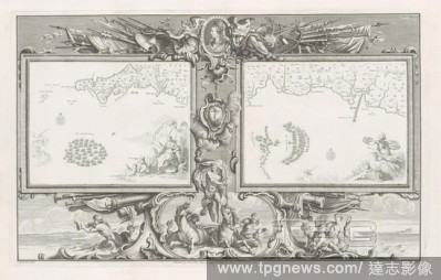
Editorial Maps of the Spanish Armada (16 and 21 July 1588), Two cards (I-II) with the Spanish fleet in the Channel below the coast of Cornwall and Devon, within an ornamental frame. At the top in the frame is a medallion with the portrait of Queen Elizabeth I, f...
- 2020-01-15
- 2
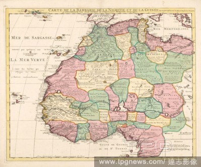
Editorial Map of North-West Africa Carte de la Barbarie de la Nigritie et de la Guin?e (title on object), Map of north-west Africa, from Tripoli in the north to Gabon in the south, maps of separate countries or regions, Africa, Guillaume Delisle (mentioned on ob...
- 2020-01-15
- 1
Editorial Rand, McNally & Co.'s handy guide to the country around New York, for the wheelman, driver, and excursionist. With original maps and illustrations : Ingersole, Ernest, 1852-1946.
- 2020-01-15
- 1
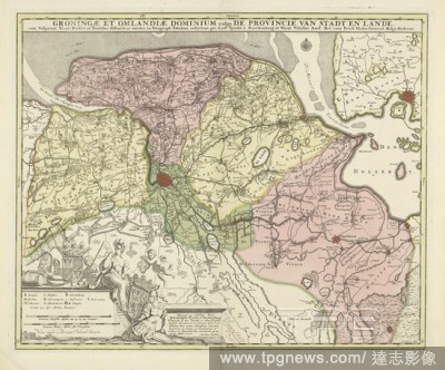
Editorial Map of the province of Groningen, Groningae et Omlandiae dominium vulgo the province of Stadt and Lande ... (title on object), Map of the province of Groningen on a scale of 1: 128 000. Bottom left a cartouche with the legend and two scale sticks: Comm...
- 2020-01-15
- 1
Editorial Booklet - 'Yosemite Valley, Southern Pacific', California, U.S.A., 1911, 'Yosemite Valley, Southern Pacific' is a booklet from 1911 that was issued by Southern Pacific, a major railway company of the U.S.A. The booklet provides travel information about...
- 2020-01-15
- 1
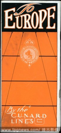
Editorial Booklet - 'To Europe by the Cunard Lines', New York, U.S.A., 1911, 'To Europe by the Cunard Lines', issued by The Cunard Steamship Company Limited in New York, U.S.A. in 1911, provides travel information about the ships travelling different routes from...
- 2020-01-15
- 1
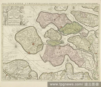
Editorial Map of Zeeland, New map of the county of Zeeland ... / Nova Zeelandiae Comitatus tabula .. (title on object), Map of the county of Zeeland on a scale of 1: 115 000. Above left cartouche with the arms of Zeeland flanked by two putti and by two water cre...
- 2020-01-15
- 1
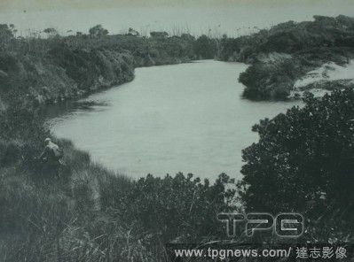
Editorial Photograph - Blow-hole Creek, King Island, 1887, One of thirty-two black and white photographs in an album [two are loose] taken by A J Campbell during a Field Naturalists' Club of Victoria expedition to King Island. The album also includes maps of Kin...
- 2020-01-15
- 1
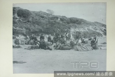
Editorial Photograph - Field Naturalists' Club of Victoria Scientific Expedition to King Island, 1887, One of thirty-two black and white photographs in an album [two are loose] taken by A J Campbell during a Field Naturalists' Club of Victoria expedition to King...
- 2020-01-15
- 2

Editorial Photograph - Cape Wickham Lighthouse, King Island, 1887, One of thirty-two black and white photographs in an album [two are loose] taken by A J Campbell during a Field Naturalists' Club of Victoria expedition to King Island. The album also includes map...
- 2020-01-15
- 1

Editorial Photograph - H.V. McKay, Farm Equipment Manufacture & Field Trials, Ballarat, Victoria, 1904, Photograph is located in an album: Volume No. 3: Miscellaneous: H.V. McKay Ballarat, Sunshine Factories & Products; Maps, Plans & Charts; Passport Photographs...
- 2020-01-15
- 1
Editorial Booklet - 'Coronation Booklet', RMS Lusitania & RMS Mauretania, Liverpool, England, 1911, 'Coronation Booklet' was issued by The Cunard Steamship Company Limited in Liverpool, England in 1911. It contains information about, and images of, the ships the...
- 2020-01-15
- 2

Editorial Photograph - Currie Harbour Lighthouse, King Island, 1887, One of thirty-two black and white photographs in an album [two are loose] taken by A J Campbell during a Field Naturalists' Club of Victoria expedition to King Island. The album also includes m...
- 2020-01-15
- 1
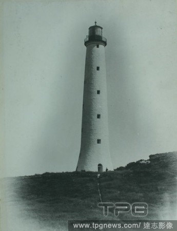
Editorial Photograph - Cape Wickham Lighthouse, King Island, 1887, One of thirty-two black and white photographs in an album [two are loose] taken by A J Campbell during a Field Naturalists' Club of Victoria expedition to King Island. The album also includes map...
- 2020-01-15
- 1

Editorial Photograph - Wallaby Hunter, Henry Grave, King Island, 1887, Henry Grave was a wallaby hunter on King Island during the 1880s. This image was taken by Archibald James Campbell on the Field Naturalists Expedition to King Island in 1887. Grave acted as o...
- 2020-01-15
- 1
Editorial Booklet - 'Mount Vernon, Va.', An Illustrated Handbook, Virginia, U.S.A., 1910, 'Mount Vernon, Va.' is a booklet issued by the Mount Vernon Ladies' Association in Virginia, U.S.A. in 1910. It provides information and photographs of Mount Vernon, the ho...
- 2020-01-15
- 1
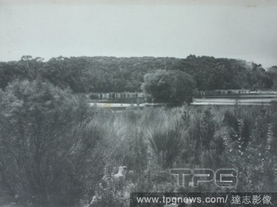
Editorial Photograph - The Lesser Martha Lavinia Lagoon, King Island, 1887, One of thirty-two black and white photographs in an album [two are loose] taken by A J Campbell during a Field Naturalists' Club of Victoria expedition to King Island. The album also inc...
- 2020-01-15
- 1
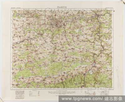
Editorial Map - Military, Belgium, Namur 8, General Staff no. 2364, Scale 1:100,000, World War I, 1910, Military map of Belgium, Namur area (a hand-written inscription identifies it as Namur 8 district), scale 1:100,000, published in 1910. The map is labelled Ge...
- 2020-01-15
- 1
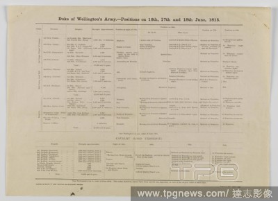
Editorial Table - Duke of Wellington's Army Positions, Waterloo Campaign, 16-18 Jun 1815, Dispatched Mar 1919, Alternative Name(s): Chart, Summary, Battle of Waterloo Table outlining the Duke of Wellington's army positions in the Waterloo Campaign, 16-18 June 18...
- 2020-01-15
- 1
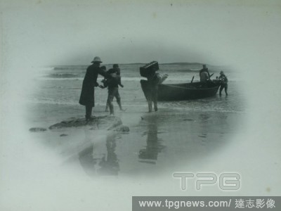
Editorial Photograph - Field Naturalists' Club of Victoria Scientific Expedition to King Island, 1887, One of thirty-two black and white photographs in an album [two are loose] taken by A J Campbell during a Field Naturalists' Club of Victoria expedition to King...
- 2020-01-15
- 1

Editorial Photograph - H.V. McKay, Farm Equipment Manufacture & Field Trials, Ballarat, Victoria, 1904, Photograph is located in an album: Volume No. 3: Miscellaneous: H.V. McKay Ballarat, Sunshine Factories & Products; Maps, Plans & Charts; Passport Photographs...
- 2020-01-15
- 1
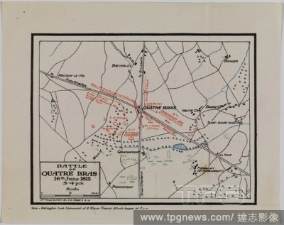
Editorial Map - Battle of Quatre Bras, Waterloo Campaign, 16 Jun 1815, 5th Field Survey, 8 Feb 1919, Map depicting the Battle of Quatre Bras, 16 June 1815. It was fought two days before the Battle of Waterloo. Part of a set of information about the Waterloo Camp...
- 2020-01-15
- 1

Editorial Ormovs / Svrattte / Bantam / Damasco / Batavia / Iervsalem / Goa / Calecvth (title on object), Sheet with two vertical strips each with four views of the cities in Asia: Hormoz, Suratte, Bantam, Damascus, Batavia, Jerusalem, Goa and Calcutta. Uncut lea...
- 2020-01-15
- 1
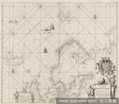
Editorial Passport of the Baltic Sea and the North Sea New Passport of the entire Oosterz? and Noortz?, Schip-Vaart, Op Nieuws uyt experience of Schrandre Stiermans Naaakeurig: Signed, and Saamen erected. (title on object), Passport card of the Baltic Sea and th...
- 2020-01-15
- 1
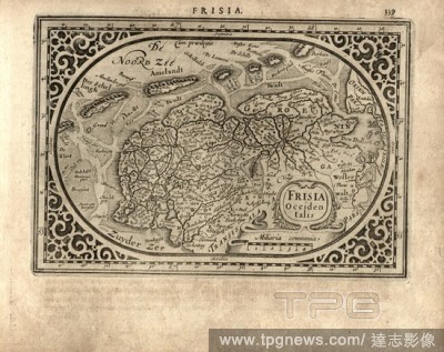
Editorial West Friesland, Maps of the western part of Friesland, Fig. 71, p. 339, Gerhard Mercator, Jodocus Hondius, Jansson: Atlas minor Gerardi Mercatoris. Amsterodami: ex officina Ioannis Ianssonii, MDCXXXIIII [1634].
- 2020-01-15
- 1
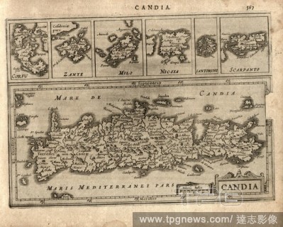
Editorial Corfu, Zante, Milo, Nicsia, Santorini, Karpathos and Candia, Maps of the islands of Corfu, Zakynthos, Milos, Naxos, Santorini, Karpathos and Crete, Fig. 122, p. 567, Gerhard Mercator, Jodocus Hondius, Jansson: Atlas minor Gerardi Mercatoris. Amsterodam...
- 2020-01-15
- 1
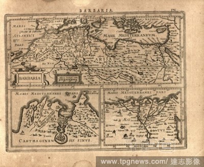
Editorial Barbary, und Gulf of Carthage, Egypt, Maps of North Africa, Tunis Region and Lower Egypt (Nile Delta), Fig. 123, p. 571, Gerhard Mercator, Jodocus Hondius, Jansson: Atlas minor Gerardi Mercatoris. Amsterodami: ex officina Ioannis Ianssonii, MDCXXXIIII ...
- 2020-01-15
- 1
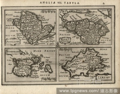
Editorial England 7. Map : Anglesey, Wight Garnesay, Iarsay, Maps of the islands Anglesey, Isle of Wight, Guernsey and Jersey, Fig. 21, p. 83, Gerhard Mercator, Jodocus Hondius, Jansson: Atlas minor Gerardi Mercatoris. Amsterodami: ex officina Ioannis Ianssonii,...
- 2020-01-15
- 1
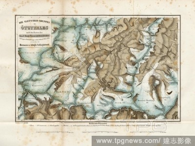
Editorial The glacier groups of the ?tz valley according to the maps of the Kaiserl. Royal. Austria. General staff, Map of the ?tz Valley from 1847, signed: ... lith., v, C. Birck, Taf. XI., To S, 600, Schlagintweit, Hermann (inv.); Schlagintweit, Adolph (inv.);...
- 2020-01-15
- 1

Editorial Felice Giani, Italian, 1758-1823, Female Figure (Geography?) with a Lyre, Globe, Maps, and Cupid, between 1758 and 1823, pen and brown ink and gray wash over black chalk on buff antique laid paper, Sheet: 6 1/4 ? 9 1/4 inches (15.9 ? 23.5 cm).
- 2020-01-15
- 1
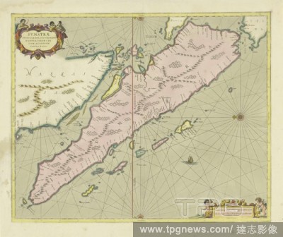
Editorial Map of Sumatra, Sumatrae and insularum locorumque nonnullorum circumiacontium tabula nova (title on object), the north left, the different areas colored differently. Top left cartouche with title, bottom right the scale sticks (in German and French mil...
- 2020-01-15
- 1
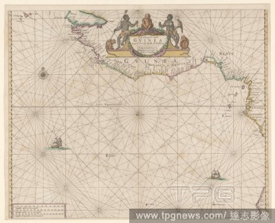
Editorial Passport map of the African Gold Coast Passport map of Gvinea from C. Verde to R. de Galion (title on object), Nautical map of the African Gold Coast, the coast of The Gambia to Angola, designated Guinea. Top center cartouche with title with two Africa...
- 2020-01-15
- 1

Editorial Map of East Java, Map of East Java with legend and inset maps from the area around Surabaya, the Kangean Islands and the island of Bawean. Numbered top left: 5. With degree distribution along the edges, maps of separate countries or regions, East Java,...
- 2020-01-15
- 1

Editorial Maps of dress, The dress or dressing gown is made of maps of silk from the English Air Force. They are printed on both sides. They are two different maps, 44 A and 44 B from Burma, part from French Indo China, part from Siam, now Thailand, part from In...
- 2020-01-15
- 1

Editorial Passport card of the Northern Dvina Passport card of the River Dwina or Archangel (title on object), Passport card of the river Northern Dvina, which flows into the Russian port city of Archangelsk (archangel) in the White Sea. In the center of the car...
- 2020-01-15
- 2

Editorial Map of the island of Dieuw or Diewij on the Koromandel coast, India, Map of the island of Dieuw or Dieuwij on the Koromandel coast, showing a river delta and various settlements with names, maps or separate countries or regions, Coromandelkust, Adrianu...
- 2020-01-15
- 1
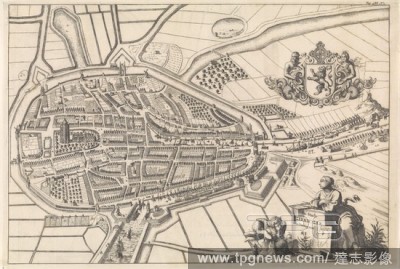
Editorial Zierikzee map The city of Zieric-sea in a map (title on object), Bird's eye view map. Above right the weapon of Zierikzee. Bottom right the title cartouche. Numbered top right: Pag. 488. 1, maps of cities, coat of arms (as symbol of the state, etc.) (c...
- 2020-01-15
- 1

Editorial Book with maps of Eastern Europe and North Africa, Book with maps of Eastern Europe and North Africa. Bound in parchment with gold print., anonymous, Amsterdam, c. 1690 - c. 1710, parchment (animal material), paper, gold (metal), h 5.0 cm ? w 4.0 cm ? ...
- 2020-01-15
- 1
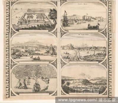
Editorial Jaffnapatnam / Cartagena / Angra / Porto Rico / De Stadt Gale / Portus Acapvlco (title on object), Sheet composed of six separate maps of or views of various cities glued together: Jaffnapatnam, Cartagena, Angra dos Reis, Puerto Rico, Galle on Ceylon a...
- 2020-01-15
- 1
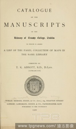
Editorial Catalogue of the manuscripts in the Library of Trinity college, Dublin, to which is added a list of the Fagel collection of maps in the same library; : Trinity College (Dublin, Ireland). Library.
- 2020-01-15
- 1
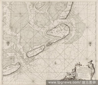
Editorial Passport map of the Wadden Sea from Den Helder to Terschelling New Pascaert Where to insert the holes of Texel and 'T Vlie With all syn Mercken and, depth and drought everything on 't Nieuws Oversien and corrected of many errors (title on object), Pass...
- 2020-01-15
- 1
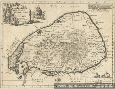
Editorial Map of Ceylon The Coninkryk Conde Uda or Ceylon in syn Inner detail depicted by R. Knox. Englishman (title on object), maps of separate countries or regions, Sri Lanka, Jan Luyken, 1692, paper, etching, h 290 mm ? w 373 mm.
- 2020-01-15
- 1
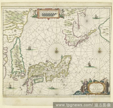
Editorial Map of Japan, Nova et accurata Japoniae, Terrae Esones, ac Insularum adjacentium (title on object), Map of Japan to scale (1: 5 mill.) With a part from China and Korea. The depth is indicated along the coasts. The various islands and countries are colo...
- 2020-01-15
- 1
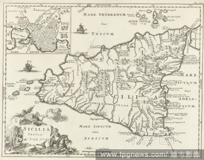
Editorial Map of Sicily Sicilia Insula, Print upper right: Pag: 506, maps of separate countries or regions, Sicily, Jan Luyken, 1692, paper, etching, h 324 mm ? w 410 mm.
- 2020-01-15
- 2
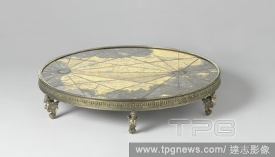
Editorial Map of the Iberian Peninsula Map of the Iberian Peninsula, Round table piece with a map of the Iberian Peninsula. The map is painted on the back of the cover glass, which rests on slate plate. The whole is encased in a gilt silver frame, which is decor...
- 2020-01-15
- 1
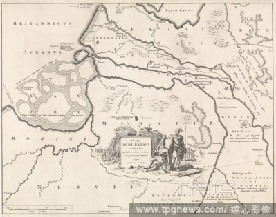
Editorial Historical map of the Netherlands with the territories of the Batavians and Frisians III Descriptio Agri Batavi (title on object), Map marked lower right: Tab. III, maps of separate countries or regions, Friesland, Netherlands, Jan Luyken, Amsterdam, 1...
- 2020-01-15
- 1

Editorial New map of Belgium, containing the Southern Department.n of the Kingdom of the Netherlands and the Grand Duchy of Luxembourg (title on object), Map of Belgium as part of the Kingdom of the Netherlands marked with a red pencil on the Ten-day Campaign of...
- 2020-01-15
- 1
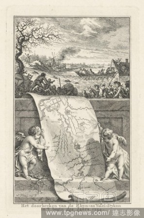
Editorial Breakthrough of the Rhine and IJssel dykes, 1754 Breaking the Rhyn and Yssel-Dyken in 't begin des Jaers 1754 (title on object), Two putti indicate on a map the area that was flooded by the breakthrough of the Rhine and IJssel dikes. In the background ...
- 2020-01-15
- 1
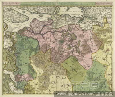
Editorial Map of Brabant, Brabantiae Batavae pars occidentalis, sive Antverpiensis tetrarchiae pars septentrionalis comprehendens Baroniam Bredanam, Marchionatum Bergensem ad Zomam ... (title on object), Map of the western part of Brabant. Area between Bergen op...
- 2020-01-15
- 1

Editorial Map of part of Palestine VII. Palaestina map following the contemporary condition of the Newest Travelers (title on object), maps of separate countries or regions, Jan van Jagen (mentioned on object), Amsterdam, 1794, paper, etching, h 364 mm ? w 441 mm.
- 2020-01-15
- 1
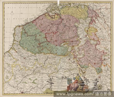
Editorial Map of the Southern Netherlands Provinciae Belgium Regii Distinctae eo, quo Sunt hodie divisae modo Inter Regem Galliae, Hispaniae (...) (title on object), Map of the Southern Netherlands, with a cartouche in the middle with the title and the publisher...
- 2020-01-15
- 1
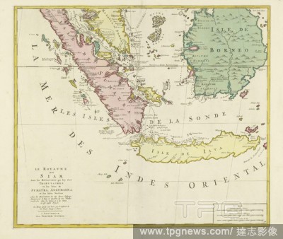
Editorial Map of the Kingdom of Siam (lower half), Le Royaume de Siam, avec les royaumes qui lui sont tributaires and les iles de Sumatra, Andemaon, etc, et les iles Voisines (title on object), Map of the Kingdom of Siam (Kingdom of Ayutthaya) and its vassal sta...
- 2020-01-15
- 1
Editorial Why not cycle abroad yourself? What a bicylce trip in Europe costs, how to take it, how to enjoy it, with a narrative of personal tours, illustrations and maps : Stetson, Clarence.
- 2020-01-15
- 1
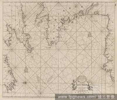
Editorial Pass card of a part of the coast of Ireland, England, France and Spain Pass card of the Bight of Vrankryck Biscaien and Galissen the income of the Canaal as Meden 't Channel of Bristol and the Zuyd coast of Yrland (title on object), Passport card of a ...
- 2020-01-15
- 1
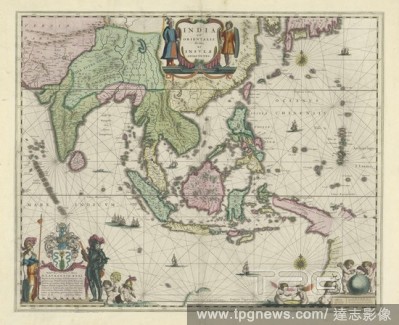
Editorial Map of Indonesia and part of Southeast Asia, India with Orientalis dicitur et Insulae adiacentes (title on object), Map of Indonesia and a part of Southeast Asia. The different areas are colored differently. In the top center on either side of the titl...
- 2020-01-15
- 1
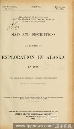
Editorial Maps and descriptions of routes of exploration in Alaska in 1898 : with general information concerning the territory : Geological Survey (U.S.).
- 2020-01-15
- 1
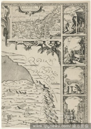
Editorial Map of Palestine Terrae Sanctae seu terrae promissionis nova descripto (title on object), Upper right plate of a map of Palestine, with inscriptions relating to the events of the Old and New Testament. At the top a smaller map of Egypt. Four performanc...
- 2020-01-15
- 1

Editorial Mobilization mobilization 1939, Teapot of glazed green porcelain with white glazed interior. On the belly the maps of the Netherlands and the Dutch East Indies in relief and inscription. Marked, on bottom: Mosa / Maastricht. Inscription, on belly: JE M...
- 2020-01-15
- 1

Editorial Map of West Java, Map of West Java with a legend and a map of the area around Batavia. Numbered top left: 3. With degree distribution along the edges, maps of separate countries or regions, West Java, Batavia, Topografische Inrichting (mentioned on obj...
- 2020-01-15
- 1

Editorial Man sitting at a table with cards, A man is sitting in a loggia with a writing spring in his hand at a table on which different (country) maps are located. In the foreground two putti are studying a print depicting a procession, on the right are crowns...
- 2020-01-15
- 1
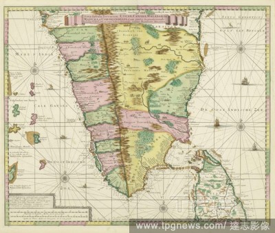
Editorial Map of South India Nova tabula terrarum Cucan, Canara, Malabaria, Madura, & Coromandella, cum parte septentrionali insulae Ceylon, in mari Indico Orientali / edente Hadriano Relando (title on object), Map of South India with a part of Ceylon, ranging f...
- 2020-01-15
- 1
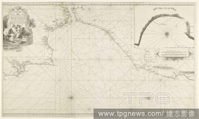
Editorial Sea chart of the Strait of Gibraltar and the Bay of Tangier, New pass card of 'the rise of' t Narrow from the Strait, starting on the Spanish coast, from the Barles, and on the Moorish coast, from Sta. Cruz het Naauw (title on object), Sea chart of the...
- 2020-01-15
- 1
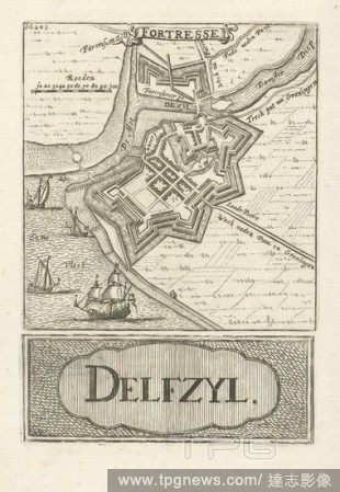
Editorial Map of Delfzijl Fortresse Delfzyl (title on object), Two prints on one sheet: At the top a print with a representation of a map of Delfzijl and below a print with the title in a cartouche. In the top print a part of the title on top of a ribbon, a scal...
- 2020-01-15
- 1
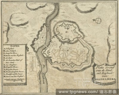
Editorial Floor plan of Heidelberg Flat ground of the City and Castle of Heidelberg (title on object), Print top right marked: Fol: 229, maps of cities, Heidelberg, Jan Luyken, Amsterdam, 1693, paper, etching, h 126 mm ? w 154 mm.
- 2020-01-15
- 1
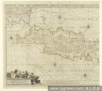
Editorial Map of the western part of Java, Insulae Iavae Pars Occidentalis Edente Hadriano Relando (title on object), Map of West Java and a tip of Sumatra (inks above). There are five compass roses. There are topographical details on the map: rice fields, mount...
- 2020-01-15
- 1

Editorial History of the Thirty Years' War; those parts of books II, III, and IV which treat of the careers and characters of Gustavus Adolphus and Wallenstenn. Edited with introd., notes and maps : Schiller, Friedrich, 1759-1805.
- 2020-01-15
- 1
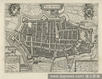
Editorial Floor plan of Alkmaar Alcmaer (title on object), Floor plan in bird's eye view. Above left the coat of arms of Holland, in the middle a cartouche with the title, top right the coat of arms of Alkmaar. Bottom left a cartouche with a poem in Dutch. Botto...
- 2019-12-19
- 1
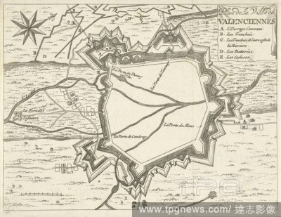
Editorial Valenciennes map, 1673-1686 Ville de Valenciennes plan (title on object), maps of cities, Valenciennes, Jan Luyken, Amsterdam, 1673 - 1686, paper, etching, h 122 mm ? w 157 mm.
- 2019-12-19
- 1
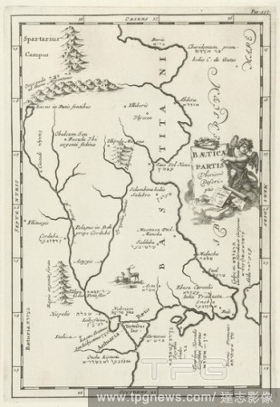
Editorial Map of Spanish territory on the Balearic Sea Baeticae Partis Uberior Descriptio (title on object), Print on the top right: Page: 597, maps of separate countries or regions, Spain, Jan Luyken, 1692, paper, etching, h 295 mm ? w 203 mm.
- 2019-12-19
- 1
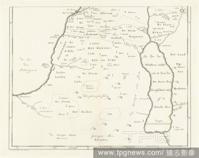
Editorial Map of the southern part of Palestine, maps of separate countries or regions, Jan van Jagen (mentioned on object), Amsterdam, 1793, paper, etching, h 354 mm ? w 449 mm.
- 2019-12-19
- 1
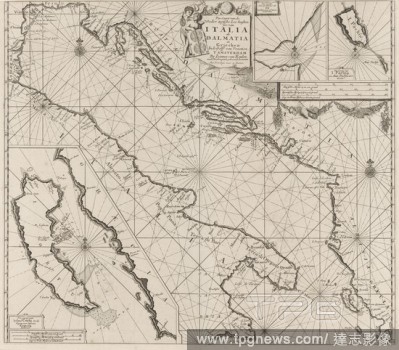
Editorial Map of the coasts of the Adriatic Sea Pas-Caart of the Weder zytsche Sea coasts of Soo from Italia as Dalmatia and Griecken In the Golff of Venetien (title on object), Map from the coasts of the Adriatic Sea, three betting cards, bottom left one from C...
- 2019-12-19
- 1

Editorial Map of Jerusalem 11th map depicting Jerusalem with its surrounding mountains and valleys (...) (title on object), maps of separate countries or regions, Jan van Jagen (mentioned on object), Amsterdam, 1790, paper, etching, h 351 mm ? w 436 mm.
- 2019-12-19
- 1
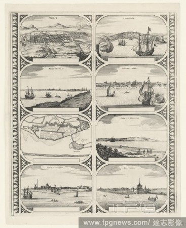
Editorial Mexico / Mauritiopolis / Mauritiopolis / New Amsterdam / S. Salvador / Bvones Aires / Capvt S. Avgustini / Boa Vista (title on object), Sheet with two vertical strips, each with four floor plans of or faces on cities in North and South America: Mexico ...
- 2019-12-19
- 2
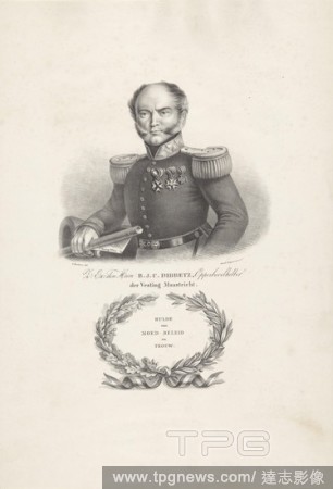
Editorial Portrait of Commander Bernardus Johannes Cornelis Dibbets, The person portrayed has a rolled-up map of (probably) Maastricht in his right hand. It says: F.t Koning Willem. On the chest he wears three knight orders. Under the portrait the name and posit...
- 2019-12-19
- 1

Editorial The Trading Post at Dejima Makimono Nagasaki and Deshima, Scroll Painting, from right to left: five ships at sea for the port of Nagasaki, one of which is Dutch, one Siamese and three Chinese. Then the map of Nagasaki with the island of Deshima and the...
- 2019-12-18
- 1
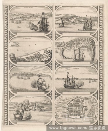
Editorial Nombre D. Dios / La Verra Crvs / Trugillo / Hauana Portus / Panama / S. Marta / Campetie / S. Domingo (title on object), Sheet with two vertical strips, each with four views of cities in Central America: Nombre de Dios, Veracruz, Trujillo, Havana, Pana...
- 2019-12-18
- 2

Editorial Map of Athens Athenes (title on object), Print on the top right: Pag. 210. Tom. II, maps of cities, Jan Luyken, Amsterdam, 1679, paper, etching, h 124 mm ? w 198 mm.
- 2019-12-18
- 1
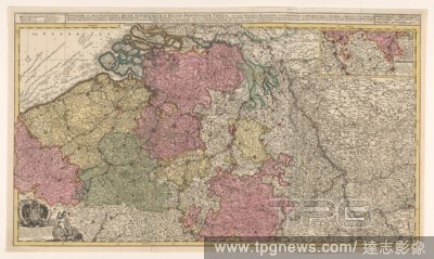
Editorial Map of the Southern (Austrian) Netherlands, Novissima et accuratissima decem Austriacarum in Belgio provinciarum tabula, ut sunt ducatus Brabantiae, Luxembergensis, Limburgensis, et Geldriae, comitatus Flandriae (title on object), Map of the Southern (...
- 2019-12-18
- 1

Editorial Map of the south of Spain and Portugal, Map with a part of Portugal and the Spanish south coast. Part (bottom left) of a large map of Spain and Portugal in four sheets, ca. 1703. Bottom left the legend and the arms of Spain and Portugal, connected with...
- 2019-12-18
- 1

Editorial Book with city maps of Flanders, Book with city maps of Flanders. Bound in parchment with gold print., anonymous, Amsterdam, c. 1690 - c. 1710, parchment (animal material), paper, gold (metal), h 5.5 cm ? w 4.2 cm ? t 1.0 cm.
- 2019-12-18
- 1

Editorial Map of Palestine of Palestine, with inscriptions relating to the events of the Old and New Testament., maps, atlases, Palestine, Israel, Nicolaes van Geelkercken, Amsterdam, 1621, paper, engraving, w 420 mm ? h 550 mm.
- 2019-12-18
- 1
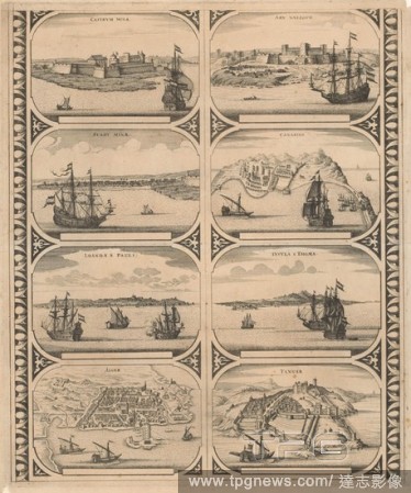
Editorial Castrvm Minae / Stadt Minae / Loanda S. Pauli / Alger / Arx Nassovii / Canarien / Insvla S. Thomae / Tanger (title on object), Sheet with two vertical strips, each with four views of the cities in Africa: Elmina, Fort Elmina, Luanda, Algiers, Fort Nass...
- 2019-12-18
- 2
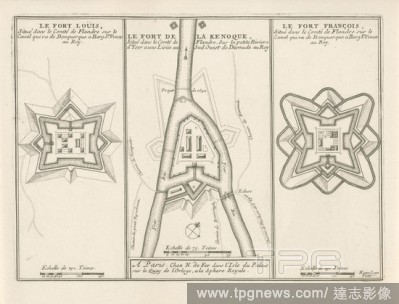
Editorial Three forts in Flanders, c. 1693-1696 The Fort Louis / The Fort de la Kenoque / The Fort Fran?ois (title on object) The forces of Europe, description of principals villes, avec leurs fortifications: dessign?es par les meilleurs engineers, private eleme...
- 2019-12-18
- 1

Editorial Map of county Holland, Comitatus Hollandiae tabula pluribus locis recens emendata (title on object), Map of the county of Holland on a scale of 1: 300 000, north on the right. Above right the weapon of Holland on a boat pulled by sea creatures. Bottom ...
- 2019-12-18
- 1
 Loading