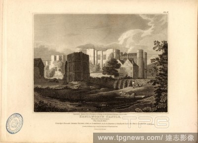
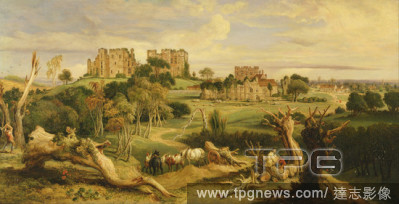
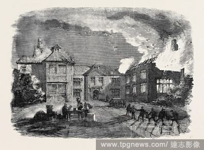
EditorialS. W. view of Kenilworth Castle, Warwickshire, Kenilworth Castle in Warwickshire, signed: Engraved by S. Rawle - Drawn by C.V. Fielding, from a Sketch by Jeayes; Published by Longman & Co, Fig. 63, Pl. III, after p. 178, Jeayes (sketch); Fielding, C. V...
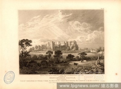
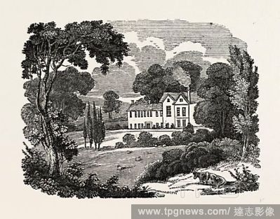
EditorialKenilworth Castle, Warwickshire View from the West, Kenilworth Castle in Warwickshire, signed: Engraved by Matthews, from a Drawing by C.V. Fielding; Published by Longman & Co, Fig. 62, Pl. II, after p. 178, Fielding, C. V. (drawing); Matthews (engrave...
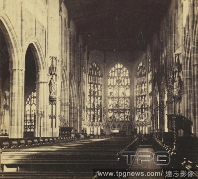
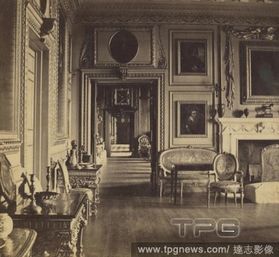
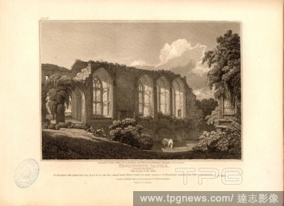
EditorialKenilworth Castle, Warwickshire View of part of the Hall, Knights' Hall in Kenilworth Castle in Warwickshire, signed: Engraved by Joseph Skelton, from a Drawing by Cha., Wild; Published by Longman & Co, Fig. 64, p. 178, Wild, Charles (drawing); Skelton...
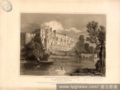
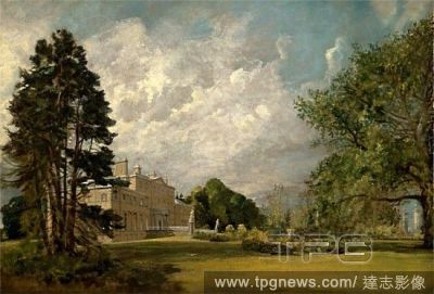
EditorialSouth west view of Warwick Castle, Warwickshire, Warwick Castle on the River Avon, signed: Engraved by W. Smith, from a Drawing by W. Havell; Published by Longman & Co, Fig. 65, p. 178, Havell, William (drawing); Smith, William (engraving); Longman & C...
EditorialMonochrome view of St. Peter's Church, Wormleighton; the churchyard and gravestones in the foreground; trees in the distance. Wormleighton Church Warwickshire. 1799. Source: Maps K.Top.42.99. Language: English.
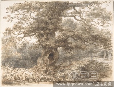
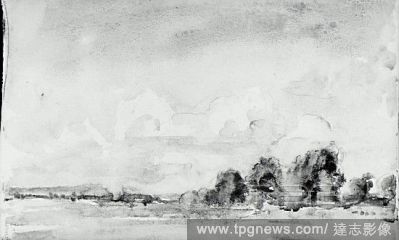
EditorialThe manor house at Guy's Cliff on the left-hand side; the chapel in the middle ground; a wall on the right-hand side; trees in the distance. A view of Guy's Cliff with the chapel, Warwickshire 1788. 1788. Source: Maps K.Top.42.94.3.b. Language: English.
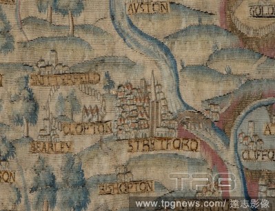
EditorialThe counti of Warwick the shire towne and citie of Coventre described. A map of Warwickshire; insets; Warwick and Coventry. The Theatre of the Empire of Great Britain. London : John Sudbury & George Humble, 1611. Source: Maps C.7.c.20.(2.), f.53.
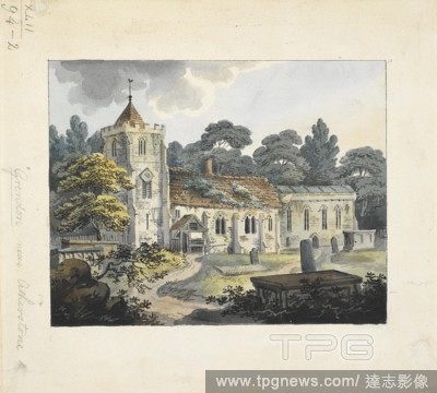
EditorialAll Saints Church in Grendon, Warwickshire; tombstones and the churchyard in the foreground; trees throughout the scene. Grendon near Atherstone. c. 1790-1810. Source: Maps K.Top.42.94.2. Language: English.
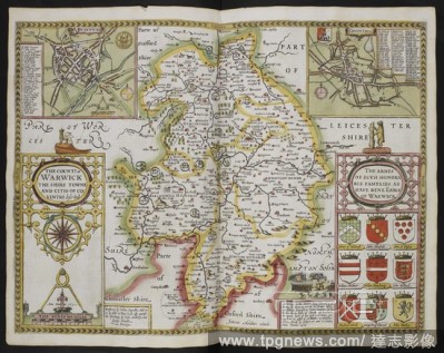
EditorialMap of Warwici Comitatvs, or Warwickshire, and Warwick. . A collection of 37 Maps of the counties of England. London. H. Overton, 1714. A collection of 37 Maps of the counties of England, being reprints, of J. Speed’s maps, by Henry Overton, together...
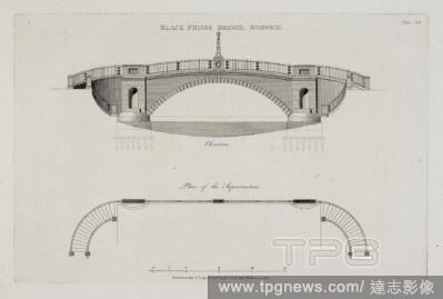
EditorialElevation and architectural drawing of Black Friars Bridge, Norwich. Plans, elevations and sections of buildings erected in the counties of Norfolk, Suffolk, Yorkshire, Staffordshire, Warwickshire, Hertfordshire ... By J. Soane. London, 1788. Plans, el...
EditorialWarwickshire and Leicestershire. C. Saxton's Atlas of England and Wales. [London], 1577. Warwic Lecestriae comitatus... Image taken from C. Saxton's Atlas of England and Wales. Originally published/produced in 1577. Source: Maps.C.7.c.1, 19.
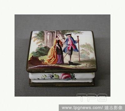
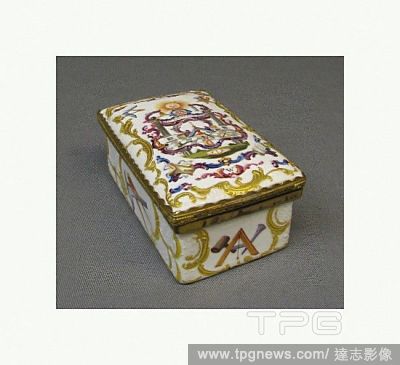
EditorialDouble box, ca. 1760, probably British, Birmingham, Warwickshire, Enamel on copper, H. 1-1/4 in. (3.2 cm.); W. 1-3/4 in. (4.4 cm.); L. 2-1/8 in. (5.4 cm.), Enamels-Painted.
EditorialSnuffbox, 1764, British, probably Birmingham, Warwickshire, Enamel on copper, L. 3 3/4 in. (9.5 cm) incl. projection of thumbpiece; W. 2 1/8 in. (5.4 cm.), Enamels-Painted.
EditorialDrawings and Prints, Print, Ex Libris of the Earl of Aylesford, Packington, Warwickshire, Subject, Artist, Heneage Finch, 2nd Earl of Aylesford, Anonymous, British, 18th century, British, 1683?1759, Finch, Heneage 2nd Earl of Aylesford, Anonymous, British.
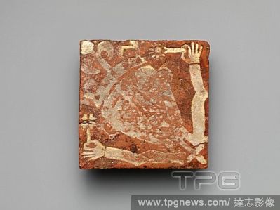
EditorialTile with a King Holding Flowers, 13th?14th century, Made in Warwickshire, England, British, Glazed earthenware, 5 ? 5 1/16 ? 15/16 in. (12.7 ? 12.8 ? 2.4 cm), Ceramics-Tiles.
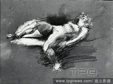
EditorialNude Study (reclining female figure), Chalk on paper, H. 10-1/8, W. 14 inches, Drawings, Henry Tonks (British, Solihull, Warwickshire 1862?1937 London).


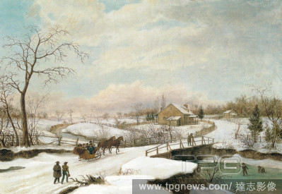


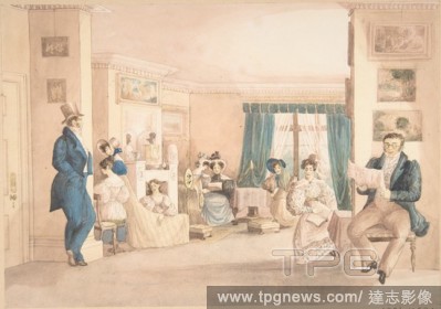

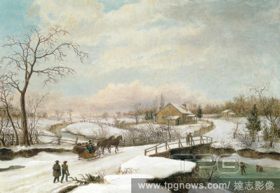

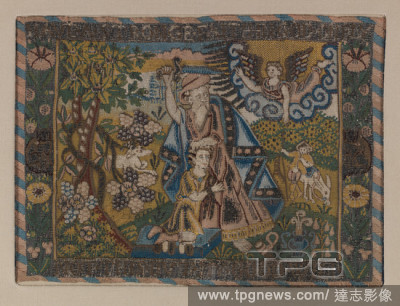


 Loading