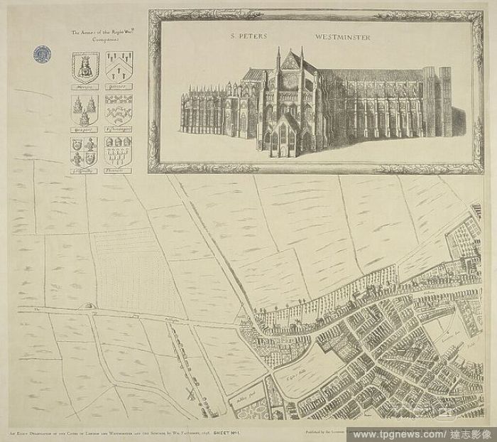
Map of Westminster in the city of London in 1560-70. Drawing of St Peters church Westminster. Civitas Londinum. Plan of London circa 1560-70. London : London Topographical Society. Published in 1905. Connected names AGAS, Ralph.FRANCIS, Edward J. OVE

 Loading