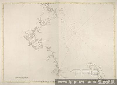
Massachussetts Bay. [A Chart of Nantucket Island... 1776. A map of Massachussetts Bay and Cape Cod Bay. Image taken from: [A Chart of Nantucket Island and part of Martha's Vineyard]. Published in 1776 . Source: Maps.184.m.3.(37), page 35. Language: E

 Loading