
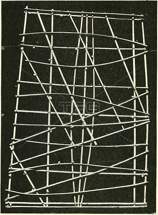
Marshall Islands stick charts were made by native Marshallese sailors to navigate the Pacific Ocean by canoe. The charts were a representation of major oceanic swell patterns and showed the ways the islands disrupted these patterns. Stick charts were primarily made from tied together coconut fronds, with island locations displayed on the charts with shells.
Each chart was unique and interpretative that most could only be deciphered by the individual navigator who had made it. Stick charts came to an end after World War II, once new electronic technologies allowed for easier travel among islands and led to the decline of canoe use.
| px | px | dpi | = | cm | x | cm | = | MB |
Details
Creative#:
TPG32679820
Source:
達志影像
Authorization Type:
RF
Release Information:
須由TPG 完整授權
Model Release:
No
Property Release:
No
Right to Privacy:
No
Same folder images:
 Loading