
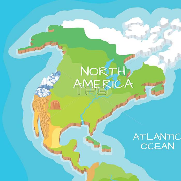
Australia mainland cartoon relief map with mountains, climate zones, oceans, seas and islands flat vector illustration. Topographic, physical atlas. Geographic concept for children s book illustrating. North America Mainland Vector Cartoon Relief Map . North America Mainland Vector Cartoon Relief Map
| px | px | dpi | = | cm | x | cm | = | MB |
Details
Creative#:
TPG29761874
Source:
達志影像
Authorization Type:
RF
Release Information:
須由TPG 完整授權
Model Release:
No
Property Release:
No
Right to Privacy:
No
Same folder images:
Restriction:
EPS檔
northamericamapglobehabitatcontinentdifferentvectorillustrationflatstyledesignnaturelifeplanetearthglobalgeographytravelseaoceantopographygeographicalareamainlandmountainsclimatezoneriverislandcartographyworldcitygraphicnationalatlasconceptterritoryshapeworldwidewaterlandgreenphysicaldessertdepthatlanticAustraliamainlandcartoonreliefmapwithmountainsclimatezonesoceansseasandislandsflatvectorillustration.Topographicphysicalatlas.Geographicconceptforchildrensbookillustrating.NorthAmericaMainlandVectorCartoonReliefMap.NorthAmericaMainlandVectorCartoonReliefMapING_47129_13269.jpg
.AmericaAmericaAustraliaCartoonCartoonGeographicING_47129_13269.jpgMainlandMainlandMapMapNorthNorthReliefReliefTopographicVectorVectoramericaandareaatlanticatlasatlas.bookcartographycartoonchildrencityclimateclimateconceptconceptcontinentdepthdesigndessertdifferentearthflatflatforgeographicalgeographyglobalglobegraphicgreenhabitatillustrating.illustrationillustration.islandislandslandlifemainlandmainlandmapmapmountainsmountainsnationalnaturenorthoceanoceansphysicalphysicalplanetreliefriversseaseasshapestyleterritorytopographytravelvectorvectorwaterwithworldworldwidezonezones
 Loading