
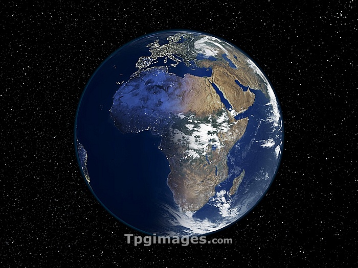
Africa, night-day satellite image. This composite image of the Earth is set against a background of stars, and is centred on the continent of Africa. North is at top. The left-hand half of the globe is at night, and city lights (yellow) show areas of dense population. The right-hand half of the globe is lit by sunlight and shows clouds (white), seas and oceans (blue), and land cover: vegetation (green) and arid areas (brown). This day-night line is the dawn terminator. This image, from 2001, combines data from a variety of satellite sensors (AVHRR, SeaWiFS, MODIS) for the sunlit areas. The night-time data is from the Defense Meteorological Satellite Program (DMSP). For the separate images, see E074/080 and E050/678.
| px | px | dpi | = | cm | x | cm | = | MB |
Details
Creative#:
TPG05323665
Source:
達志影像
Authorization Type:
RF
Release Information:
須由TPG 完整授權
Model Release:
NO
Property Release:
NO
Right to Privacy:
No
Same folder images:
 Loading