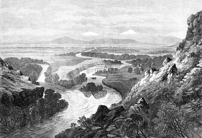
Junction of the three tributaries of the Missouri, 1870. Engraving of a sketch by Mr. P. Tofft. The greatest river of North America...has its origin in three streams which rise in the Dacotah territory and flow north, forming a junction in Montana, near the settlement called Gallatin city...The tributaries are named the Gallatin, the Jefferson, and the Madison, after three American statesmen...It is just below the island that the mighty Missouri begins its course, tending northward, cutting its way in a deep gorge through one of the spurs of the Rocky Mountains...The river is navigable to the end of September...Quite a fleet of steamers, laden with goods and passengers, principally for the territory of Montana, leave St. Louis in spring, working their way slowly up against a powerful current, and taking from five to seven weeks in their voyage to Fort Benton...Towards September the water subsides and reveals innumerable sandbars, which shift about from year to year...The length from the junction of the [tributaries] at Gallatin to the junction with the Mississippi at St. Louis is 3000 miles...The rocky plateau above the island in the middle distance is supposed to have been one of the camping grounds of Lewis and Clark, the first explorers. From "Illustrated London News", 1870.
| px | px | dpi | = | cm | x | cm | = | MB |
Details
Creative#:
TOP29943259
Source:
達志影像
Authorization Type:
RM
Release Information:
須由TPG 完整授權
Model Release:
Not Required
Property Release:
Not Required
Right to Privacy:
No
Same folder images:

 Loading