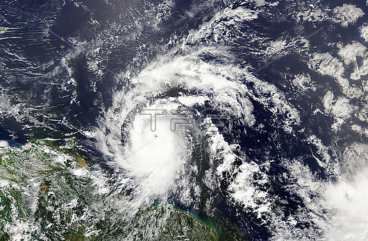
Satellite image of Hurricane Beryl over the Caribbean Sea on 30th June 2024, around an hour after it had been upgraded to a category 4 hurricane. Beryl first made landfall on the island of Carriacou, Grenada, on the afternoon of the 1st July with sustained winds of 240 kilometres per hour. On the 2nd July Beryl peaked as a category 5 hurricane, the earliest in the Atlantic hurricane season that a hurricane has reached category 5 since records began. As of 25th July 2024, 64 confirmed deaths have been attributed to Beryl, as well as estimated damages of over 6 billion US dollars. Image captured by the VIIRS (Visible Infrared Imaging Radiometer Suite) on the NOAA-21 satellite.
| px | px | dpi | = | cm | x | cm | = | MB |
Details
Creative#:
TOP29909571
Source:
達志影像
Authorization Type:
RM
Release Information:
須由TPG 完整授權
Model Release:
N/A
Property Release:
N/A
Right to Privacy:
No
Same folder images:

 Loading