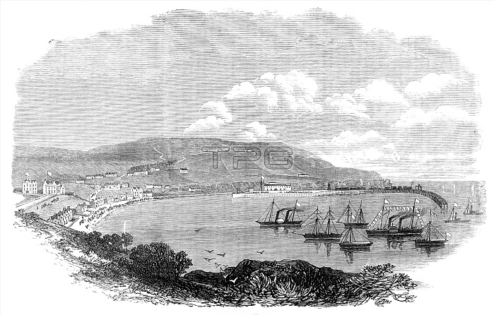
Prince Arthurs visit to the Isle of Man: Port Erin, 1869. The beautiful bay of Port Erin...is situated on the west side of tint island, about three miles north of the Calf of Man. It is naturally protected from winds blowing from the north, south, and east, but is exposed to the violent storms from the westward which rage in the Irish Channel during the winter months. A breakwater is new in course of construction at the entrance to the bay, which, when completed, will make Port Erin harbour the safest and most sheltered on the coast of the Isle of Man. This breakwater was designed by Mr. John Coode, C.E., of London, the engineer-in-chief. It is constructed of a rubble mound, the materials of which are tipped from a staging by a method similar to that which is adopted at Portland breakwater. The mound is protected from the action of the sea by massive blocks of concrete, each weighing 17 tons, which are not built as a wall of masonry, but dropped into the sea, like those used in Port Said, at the Mediterranean entrance to the Suez Canal. From "Illustrated London News", 1869.
| px | px | dpi | = | cm | x | cm | = | MB |
Details
Creative#:
TOP29822281
Source:
達志影像
Authorization Type:
RM
Release Information:
須由TPG 完整授權
Model Release:
no
Property Release:
no
Right to Privacy:
No
Same folder images:

 Loading