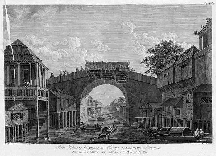
View of the Canal, Leading to Gonamu Opposite Canton, 1813. In 1803-06, Captain I. F. Kruzenshtern became the first Russian to circumnavigate the globe. This atlas, published by the Russian Academy of Sciences in 1813, includes maps of Kruzenshterns route and 109 plates based upon the drawings of V. G. Tilesius, a doctor, naturalist, and the official artist of the expedition. It is one of the largest publications of engravings from tsarist Russia. The subjects depicted include views of Sakhalin, Kamchatka, and the Kurile Islands; representations of Siberian natives and other peoples encountered during the voyage; and local fish and birds from throughout the South and North Pacific.
| px | px | dpi | = | cm | x | cm | = | MB |
Details
Creative#:
TOP29696081
Source:
達志影像
Authorization Type:
RM
Release Information:
須由TPG 完整授權
Model Release:
Not Required
Property Release:
Not Required
Right to Privacy:
No
Same folder images:

 Loading