
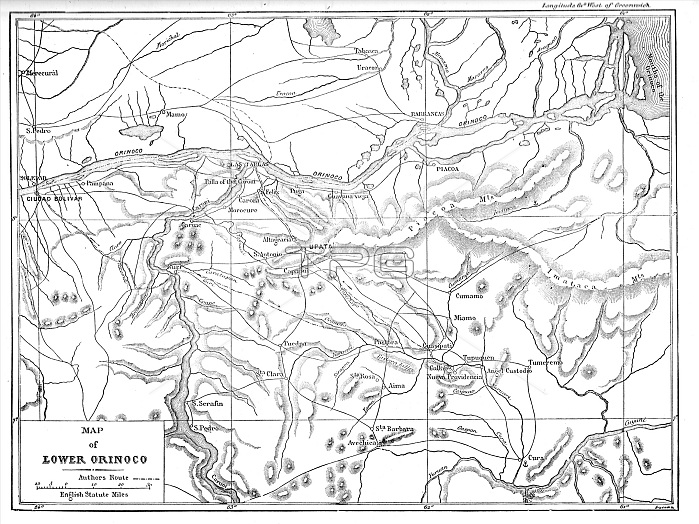
Map of the Lower Orinoco; A Journey up the Orinoco, 1875. Creator: Unknown.
| px | px | dpi | = | cm | x | cm | = | MB |
Details
Creative#:
TOP29422919
Source:
達志影像
Authorization Type:
RM
Release Information:
須由TPG 完整授權
Model Release:
Not Required
Property Release:
Not Required
Right to Privacy:
No
Same folder images:
riverSouthAmericaartsmapcountrybookcontinentBritishgeographycolorVenezuelaSouthAmericanlocationcenturyBritaincartographyliteratureB&WColombiaColour19thcenturyblack&whiteblackandwhiteB/Wwhiteandblack1870snineteenthcenturyThePrintCollectorgeographicalfeaturemap-makingOrinocoRivermapMapmakingUnknownBatesCassellCassellPetter&GalpinPetter&Galpin19th-centuryHenryWalterBatesHenryWalterH.W.BatesH.W.IllustratedTravelsClementleNeveFosterNeveFosterClementle
&&&1870s19th19th-centuryAmericaAmericanB&WB/WBatesBatesBatesBritainBritishCassellCassellClementClementCollectorColombiaColourFosterFosterGalpinGalpinH.W.H.W.HenryHenryIllustratedMapmakingNeveNeveOrinocoPetterPetterPrintRiverSouthSouthTheTravelsUnknownVenezuelaWalterWalterandandartsblackblackblackbookcartographycenturycenturycenturycolorcontinentcountryfeaturegeographicalgeographyleleliteraturelocationmapmapmap-makingnineteenthriverwhitewhitewhite
 Loading