
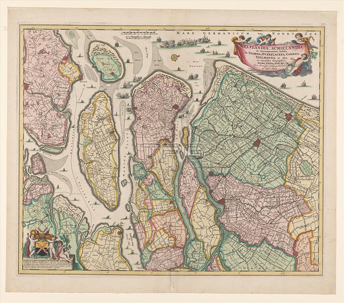
Map of South Holland, c.1675. Creator: Nicolaes Visscher.
| px | px | dpi | = | cm | x | cm | = | MB |
Details
Creative#:
TOP29407831
Source:
達志影像
Authorization Type:
RM
Release Information:
須由TPG 完整授權
Model Release:
Not Required
Property Release:
Not Required
Right to Privacy:
No
Same folder images:
transporttransportationEuroperiverseahistoricalartsmapcountryartshipshipsmuseumgeographyHollandNetherlandsDutchcolorcrestscalelocationcenturydrawingcherubcherubsconceptNorthSeaangelicinlet17thcenturyputtoColourwatertransportwarshipcoatofarmswarshipscherubimheraldryMaashistoryhistoricseventeenthcenturyarmorialcrestgeographicalfeatureheraldicputtiRijksmuseumSouthHollandTGNmapamoriniblazonnavalshippaperHeritageArtLowCountriesShieldofArmswatercolour(paint)paperNicolaesVisscherVisscherNicolaesNicolaesVisscherIIHaringvliet
(paint)17thArmsArtColourCountriesDutchEuropeHaringvlietHeritageHollandHollandIILowMaasNetherlandsNicolaesNicolaesNicolaesNorthRijksmuseumSeaShieldSouthTGNVisscherVisscherVisscheramoriniangelicarmorialarmsartartsblazoncenturycenturycenturycherubcherubimcherubscoatcolorconceptcountrycrestcrestdrawingfeaturegeographicalgeographyheraldicheraldryhistorichistoricalhistoryinletlocationmapmapmuseumnavalofofpaperpaperputtiputtoriverscaleseaseventeenthshipshipshipstransporttransporttransportationwarshipwarshipswaterwatercolour
 Loading