
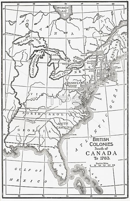
6867187 Map of the British Colonies south of Canada up to 1783. From British History in Periods, published 1904 (b/w engraving); (add.info.: Map of the British Colonies south of Canada up to 1783. From British History in Periods, published 1904.); Photo 穢 Ken Welsh. All rights reserved 2022.
| px | px | dpi | = | cm | x | cm | = | MB |
Details
Creative#:
TOP28685532
Source:
達志影像
Authorization Type:
RM
Release Information:
須由TPG 完整授權
Model Release:
no
Property Release:
no
Right to Privacy:
No
Same folder images:
20thcentury20centuryXXcenturyXXthcenturytwentiethcentury2020thxxxxthtwentiethcentury2020thxxxxthcentury2020th20thXXXXth20thcenturyc20thCanadacanadiancanadiansNorthAmericaAmerica(continent)westernhemispheregeographicalmapcartographygeographycolonialcolonialismcolonisationcolonizercolonialistcolonistcolonistscolonyGreatBritainbritishBritainGBUKunitedkingdomEuropeeuropeanEuropenmapblackandwhiteillustrationillustrations
(continent)2020202020th20th20th20th20th20thAmericaAmericaBritainBritainCanadaEuropeEuropenGBGreatNorthUKXXXXXXthXXthandblackbritishc20thcanadiancanadianscartographycenturycenturycenturycenturycenturycenturycenturycenturycolonialcolonialismcolonialistcolonisationcolonistcolonistscolonizercolonyeuropeangeographicalgeographyhemisphereillustrationillustrationskingdommapmaptwentiethtwentiethunitedwesternwhitexxxxxxthxxth
 Loading