
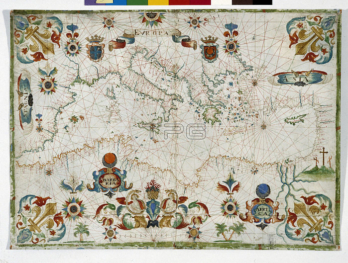
JEB4874812 Geographic atlas: portulan or nautical map of the Mediterranean Sea and its coasts (Africa, Barbaria, Europe, Middle East). Nautical chart of Francois Ollive, 1661. Municipal library of Marseille; (add.info.: Geographic atlas: portulan or nautical map of the Mediterranean Sea and its coasts (Africa, Barbaria, Europe, Middle East). Nautical chart of Francois Ollive, 1661. Municipal library of Marseille); 穢 Jean Bernard. All rights reserved 2022.
| px | px | dpi | = | cm | x | cm | = | MB |
Details
Creative#:
TOP28670395
Source:
達志影像
Authorization Type:
RM
Release Information:
須由TPG 完整授權
Model Release:
no
Property Release:
no
Right to Privacy:
No
Same folder images:
17thcentury17centuryXVIIcenturyXVIIthcenturyseventeenthcenturyc17th1717thxviixviithcentury1717th17th17thXVII18thcenturyEarlyXVIICenturycirca1600Early17thCenturySeventeethCenturyAfricaafricanafricansafricaafricanafricansAficaAfricCentralAfricaSeicentoartartsworksofartafricaeuropegeographicalmapeuropeanafricangeographywedafricanJeanBernardmiddleeastmediterraneanseaeuropean17europegeographicalmapeuropeanafricangeographywedafricanJeanBernardmiddleeastmediterraneanseaeuropean17
1717171717160017th17th17th17th17th17th18thAficaAfricAfricaAfricaCentralCenturyCenturyCenturyEarlyEarlyJeanBernardJeanBernardSeicentoSeventeethXVIIXVIIXVIIXVIIthafricaafricaafricanafricanafricanafricanafricanafricanafricansafricansartartartsc17thcenturycenturycenturycenturycenturycenturycenturycircaeasteasteuropeeuropeeuropeaneuropeaneuropeaneuropeangeographicalgeographicalgeographygeographymapmapmediterraneanmediterraneanmiddlemiddleofseaseaseventeenthwedwedworksxviixviith
 Loading