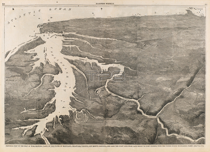
Unidentified (American).Pictorial Map of the Seat of War; Showing Parts of the States of Maryland; Delaware; Virginia; and North Carolina; and also the Coast Line from Cape Henry to Fort Pickens; with the United States Blockading Fleet; from Harper's Weekly; June 8; 1861; 1861.Graphic art; wood engraving on paper.Inv. Nr. 1972.85.6Washington; Smithsonian American Art Museum.
| px | px | dpi | = | cm | x | cm | = | MB |
Details
Creative#:
TOP28423950
Source:
達志影像
Authorization Type:
RM
Release Information:
須由TPG 完整授權
Model Release:
No
Property Release:
No
Right to Privacy:
No
Same folder images:

 Loading