
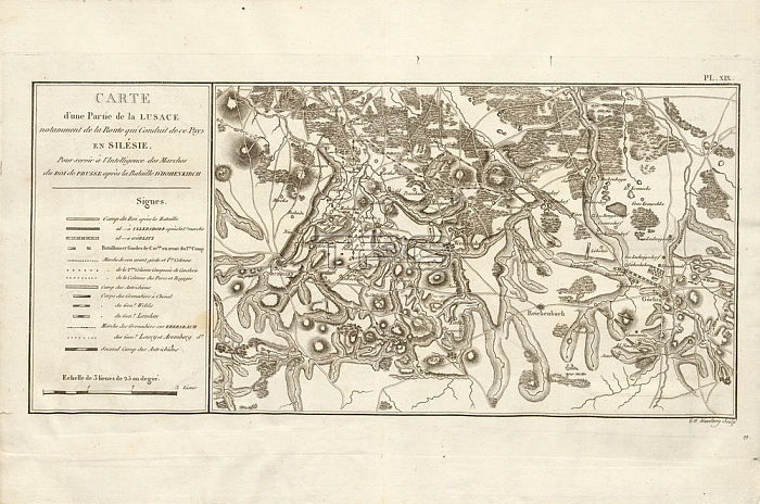
Map of a part of Lusatia; Lusatian Military Map; signed: C. F. Wexelberg sculp; Pl. XIX; Wexelberg; C. F. (sc.); Antoine Henri de Jomini: Trait?des grandes operations militaires. Atlas. [S.l.]: [s.n.]; [18--]
| px | px | dpi | = | cm | x | cm | = | MB |
Details
Creative#:
TOP28089049
Source:
達志影像
Authorization Type:
RM
Release Information:
須由TPG 完整授權
Model Release:
No
Property Release:
No
Right to Privacy:
No
Same folder images:
 Loading