
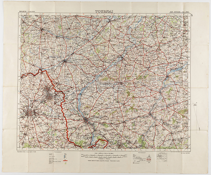
Maps - Military; Belgium; Tournai; Scale 1:100;000; 1912; Two large folded maps; identical content; titled 'Tournai 5'; Belgium; scale 1/100;000. They were printed for the Geographical Staff; General Staff; number 2364; and were 'Photo-etched at the Ordnance Survey Office; Southampton; 1912' . The map is labelled 'War Office; July; 1912'. The maps were used by Captain Morris Lewis; 44th Battalion; Third Division; First AIF; during World War I. Lewis
| px | px | dpi | = | cm | x | cm | = | MB |
Details
Creative#:
TOP28074384
Source:
達志影像
Authorization Type:
RM
Release Information:
須由TPG 完整授權
Model Release:
No
Property Release:
No
Right to Privacy:
No
Same folder images:
 Loading