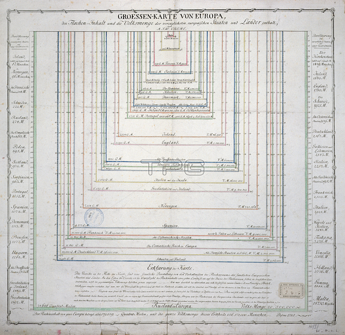
741282 German Map showing the extent of surface area and population of the principal countries of Europe, c.1785 (coloured engraving) (see also 741281) by French School, (18th century); Archives du Ministere des Affaires Etrangeres, Paris, France; (add.info.: Groessen Karte von Europa;).
| px | px | dpi | = | cm | x | cm | = | MB |
Details
Creative#:
TOP27842455
Source:
達志影像
Authorization Type:
RM
Release Information:
須由TPG 完整授權
Model Release:
No
Property Release:
No
Right to Privacy:
No
Same folder images:

 Loading