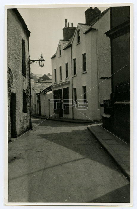
5052351 Fort St end of the demolition area, Douglas, Isle of Man, 1932-34 (b/w photo) by Frowde, John James (1868-1946); Manx National Heritage (Isle of Man); (add.info.: On the back of this photograph John James Frowde writes, "The Fort St end of the demolition area. On left, the old Assembly Rooms; left centre, the house with the wide shop window, once the office of Mr H B Noble. On right, turn into St Barnabas\' Square. On extreme right, the Custom\'s House. This site has had a chequered history. Originally a private house, 1 Moore\'s Place (now St Barnabas\' Square) in 1833, (Wood\'s Plan) it was the Record Office. When the Court House on the Red Pier was transferred to Athol St, this was the Police Station and lockup. (See Route V) Then, rebuilt, one story it was the Town Commissioner\'s Office, with later an upper story added: and for several* years \'The Customs\', but (\'35) likely to be rebuilt and extended. Additional note: *\'several\' = actually, \'a good many\' years."); by Manx National Heritage .
| px | px | dpi | = | cm | x | cm | = | MB |
Details
Creative#:
TOP27723686
Source:
達志影像
Authorization Type:
RM
Release Information:
須由TPG 完整授權
Model Release:
No
Property Release:
No
Right to Privacy:
No
Same folder images:

 Loading