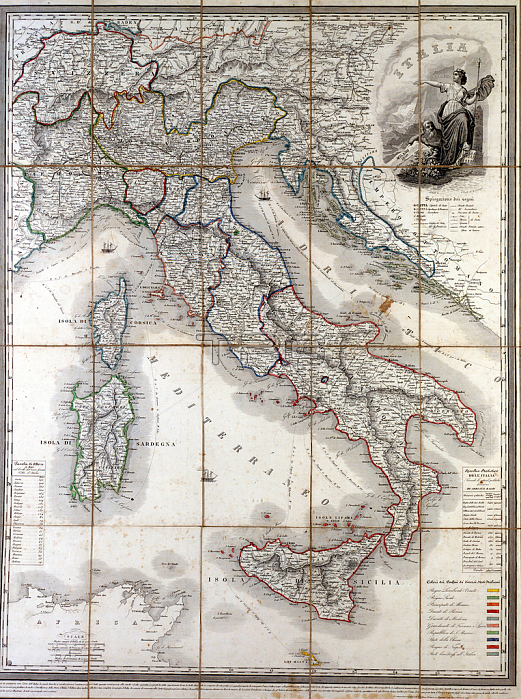
GIA4794396 Geographical map of Italy in 1850 with the delimitation of the borders of the different states that made up the country before the Risorgimento. by Unknown Artist, (19th century); Private Collection; (add.info.: Geographic map of Italy in 1850 with delimitation of the borders of the different states constituting the country before the Risorgimento.); by Giancarlo Costa.
| px | px | dpi | = | cm | x | cm | = | MB |
Details
Creative#:
TOP27707057
Source:
達志影像
Authorization Type:
RM
Release Information:
須由TPG 完整授權
Model Release:
No
Property Release:
No
Right to Privacy:
No
Same folder images:

 Loading