
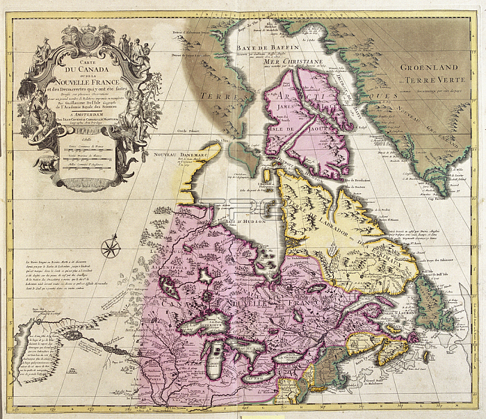
LRI4706965 Map of Canada and Greenland (etching, 1730) by Delisle, Guillaume (1675-1726); Private Collection; (add.info.: Map of Canada and Greenland - Strong Water Extracted from the ???ew Atlas Containing All Parts of the World??1730 by Guillaume de L\'Isle (1675-1726)); Luisa Ricciarini.
| px | px | dpi | = | cm | x | cm | = | MB |
Details
Creative#:
TOP27703429
Source:
達志影像
Authorization Type:
RM
Release Information:
須由TPG 完整授權
Model Release:
No
Property Release:
No
Right to Privacy:
No
Same folder images:
CanadacanadiancanadiansNorthAmericaAmerica(continent)westernhemispheredanishgreenlandengravinggeographicalmapnordiccountriescanadiangeographyAmericanDenmarkricciariniAtlas(Book)1818th18th18thXVIII18thcenturynorthamericaDanishwomengreenlandengravinggeographicalmapcanadanordiccountriescanadiangeographyamericandenmarkricciariniamericandanishamericanAtlas(Book)1818th18th18thXVIII18thcenturynorthamericaDanishwomencanadian
(Book)(Book)(continent)181818th18th18th18th18th18th18th18thAmericaAmericaAmericanAtlasAtlasCanadaDanishDanishDenmarkNorthXVIIIXVIIIamericaamericaamericanamericanamericancanadacanadiancanadiancanadiancanadiancanadianscenturycenturycountriescountriesdanishdanishdenmarkengravingengravinggeographicalgeographicalgeographygeographygreenlandgreenlandhemispheremapmapnordicnordicnorthnorthricciariniricciariniwesternwomenwomen
 Loading